RON HENGGELER |
November 22, 2011
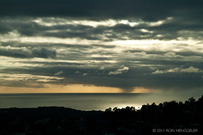
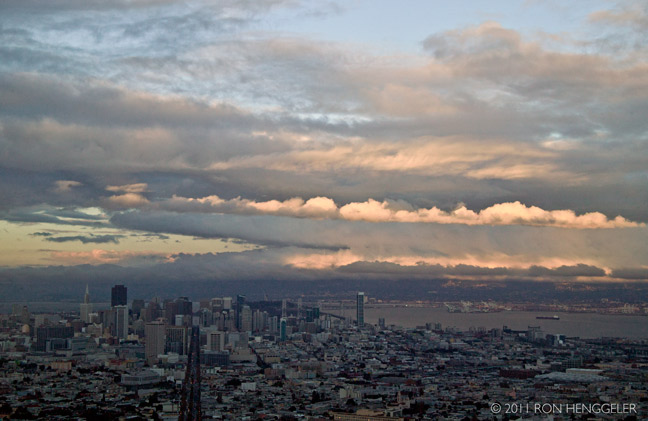
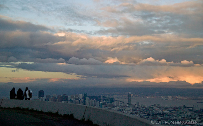
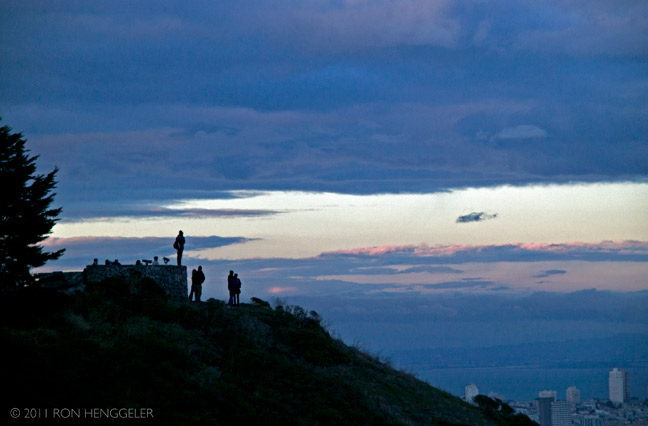
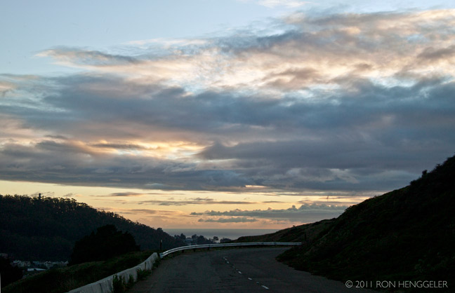
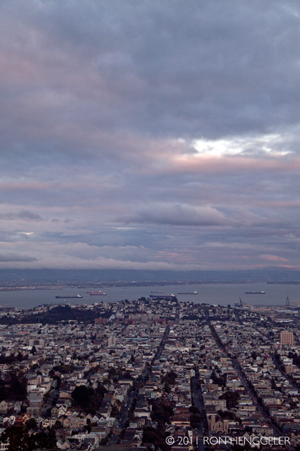
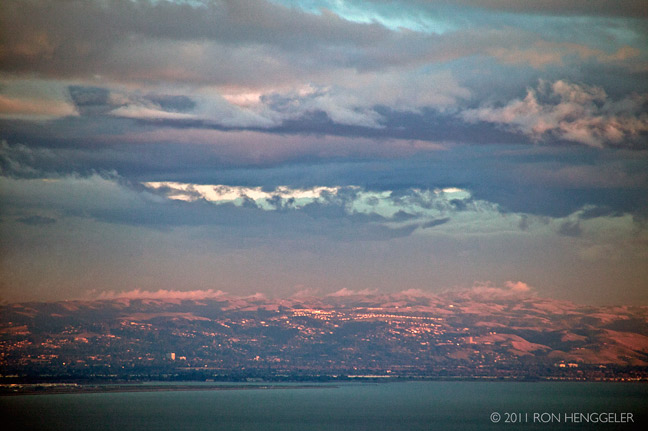
Catching the sun-setting light and storm clouds on Twin Peaks
The Twin Peaks are two hills with an elevation of about 925 feet near the geographic center of San Francisco, California. Except for Mount Davidson, they are the highest points in the city.
The Pacific Ocean seen from Twin Peaks The North and South Twin Peaks are about 660 ft apart; Twin Peaks Boulevard runs a figure eight around them. The peaks form a divide for the summer coastal fog pushed in from the Pacific Ocean. Their west-facing slopes often get fog and strong winds, while the east-facing slopes receive more sun and warmth. Elevation at each summit is just over 900 feet. Thin, sandy soil is commonplace on Twin Peaks, making them susceptible to erosion. |
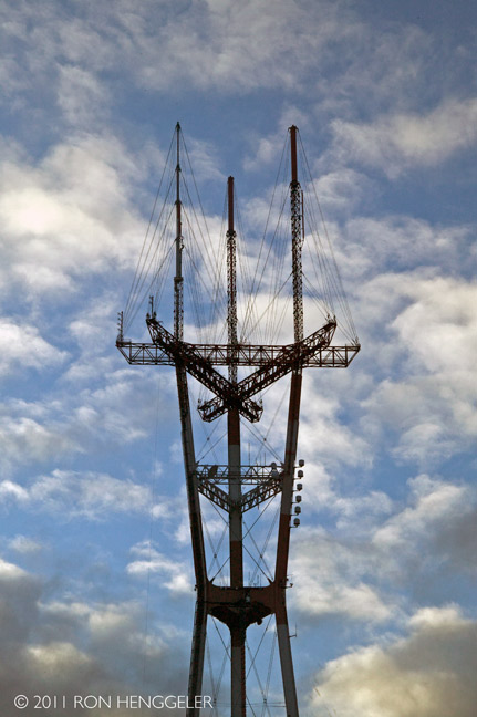
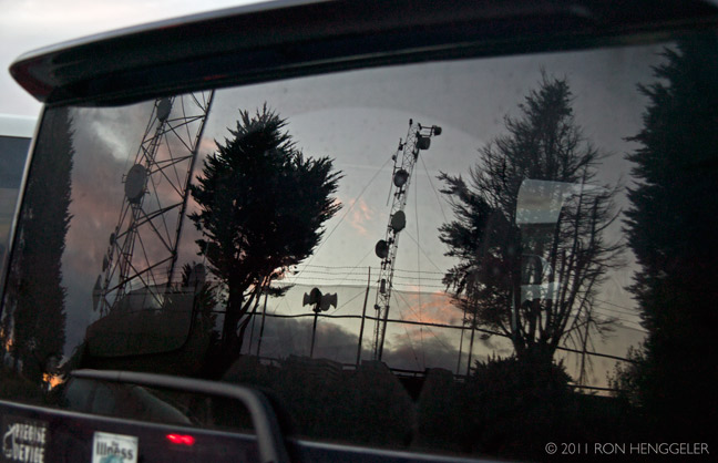
Sutro tower seen from Twin Peaks Before the construction of Sutro Tower, television reception in San Francisco was spotty because the many hills of the city would block the line-of-sight television signal. The great height of the new tower helped to resolve that problem. Transmitters had been scattered throughout the Bay Area, including at San Bruno Mountain, Mt. Allison, Monument Peak, and Mt. Diablo. By having all the main Bay Area television station transmitters in one location, reception was improved by allowing a receiving antenna pointed in a single direction to receive all those stations rather than a subset. |
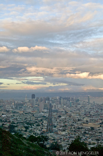
San Francisco seen from Twin Peaks Before the arrival of the Europeans, the native Ohlone people may have used Twin Peaks as a lookout or hunting ground. The ecological diversity of Twin Peaks provided medicinal or ceremonial plants, grains and berries. When the Spanish conquistadors and settlers arrived at the beginning of the 18th century, they called the area "Los Pechos de la Chola" or "Breasts of the Indian Maiden" and devoted the area to ranching. When San Francisco passed under American control during the 19th century, it was renamed "Twin Peaks". |
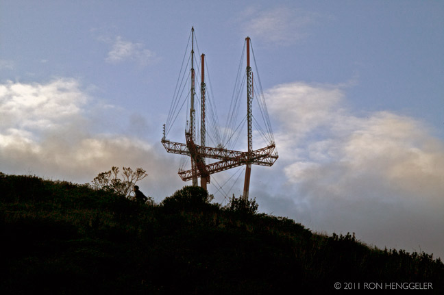
The Sutro tower seen from Twin Peaks Local residents opposed the tower even before it was completed, including criticism of the aesthetic effect the tower would have on the rest of San Francisco. San Francisco writer Herb Caen once wrote, "I keep waiting for it to stalk down the hill and attack the Golden Gate Bridge." Acknowledging both displeasure and affection for its undeniable prominence on the city's skyline, it is sometimes referred to light-heartedly as the Sutro Monster] or Space Claw. |
San Francisco seen from Twin Peaks Each peak has its own name: Eureka Peak/North Peak and Noe Peak/South Peak. 70 ft below the Eureka/North Peak is the vista point known as 'Christmas Tree Point' that has views of San Francisco and San Francisco Bay. The view to the north extends no farther than Cobb Mountain 120 km away, but looking southeast down the Santa Clara Valley on a clear day, Santa Ana Mountain is just visible 143 km away. |
San Francisco seen from Twin Peaks |
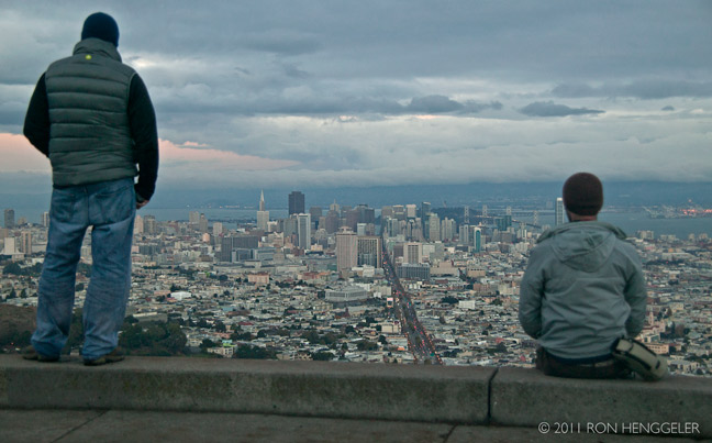
Tourists on Twin Peaks |
Twin Peaks |
San Francisco seen from Twin Peaks |
East Bay hills San Francisco seen from Twin Peaks |
|
San Francisco seen from Twin Peaks |
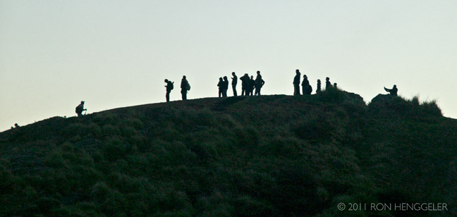
Tourists watching the sun go down The top of Twin Peaks is undeveloped. It is part of the 31 acres Twin Peaks Natural Area, managed and owned by the San Francisco Recreation and Parks Department. These preserved areas are home to many natural resources and wildlife. As part of the Mission blue butterfly habitat conservation, Twin Peaks is one of the few remaining habitats for this endangered species. Many bird species, insects and vegetation thrive in these areas. |
Newsletters Index: 2015, 2014, 2013, 2012, 2011, 2010, 2009, 2008, 2007, 2006
Photography Index | Graphics Index | History Index
Home | Gallery | About Me | Links | Contact
© 2015 All rights reserved
The images are not in the public domain. They are the sole property of the
artist and may not be reproduced on the Internet, sold, altered, enhanced,
modified by artificial, digital or computer imaging or in any other form
without the express written permission of the artist. Non-watermarked copies of photographs on this site can be purchased by contacting Ron.
