RON HENGGELER |
February 2, 2011
Snow on Mt. Tamalpais
The name Tamalpais was first recorded in 1845. It comes from the Coast Miwok name for this mountain, támal páji?, literally "west hill". Various different folk etymologies also exist, but they are unsubstantiated. One holds that it comes from the Spanish Tamal país, meaning "Tamal country," Tamal being the name that the Spanish missionaries gave to the Coast Miwok people. Another holds that the name is the Coast Miwok word for "sleeping maiden" and is taken from a "Legend of the Sleeping Maiden. However, this legend actually has no basis in Coast Miwok myth and is instead a piece of Victorian-era apocrypha. Another suggests a tie to the Asian origins of the Miwoks, where "pais" means place and "tamal" is a tribe in Siberia.
The Coast Miwok are said to have believed that an evil witch dwelled at the top of Mount Tamalpais and therefore never set foot on the peak. However, it has been said the Miwoks only said this in order to keep settlers off the sacred mountain.[citation needed]
Tamalpais was home to the Mount Tamalpais and Muir Woods Railway, also known as "The Crookedest Railroad in the World," a railroad which meandered its way up to the peak from downtown Mill Valley until a road was constructed to the peak, and automobiles gained popularity. The 8-mile standard-gauge railroad required geared steam locomotives and operated from 1896 to 1930.
British philosopher Alan Watts owned a cabin on Mount Tamalpais later in his life, where he ultimately died in his sleep of heart failure on November 16, 1973 .
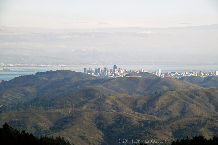
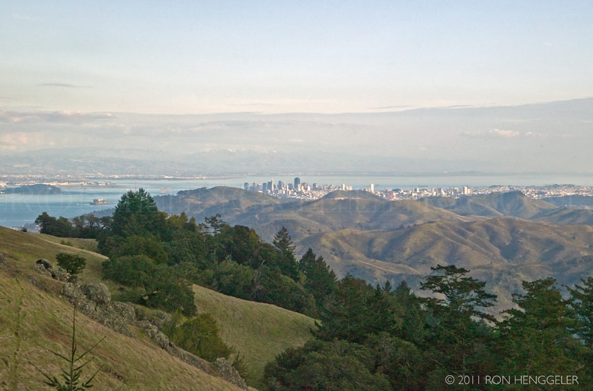
A view of San Francisco from the East Ridgecrest Blvd.on Mt Tamalpais |
A view of San Francisco from the East Ridgecrest Blvd.on Mt Tamalpais |
A melting snow man near the Rock Springs Parking Area, at the junction of the West Ridgecrest Blvd. and East Ridgecrest Blvd, on the slope of Mt Tamalpais |
A melting snow man near the Rock Springs Parking Area, at the junction of the West Ridgecrest Blvd. and East Ridgecrest Blvd, on the slope of Mt Tamalpais
|
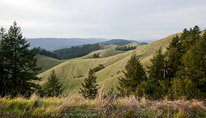
The majority of the mountain is contained in protected public lands, including Mount Tamalpais State Park, Muir Woods National Monument, and the Mount Tamalpais Watershed. It adjoins the Golden Gate National Recreation Area (which in turn adjoins Point Reyes National Seashore) as well as several Marin County Open Space Preserves. This provides nearly 40 miles of continuous publicly accessible open space. Some of the lower slopes of Mount Tamalpais fall within several cities and unincorporated communities of Marin County, including Mill Valley, Tamalpais-Homestead Valley, Stinson Beach, and Kentfield. |


Newsletters Index: 2015, 2014, 2013, 2012, 2011, 2010, 2009, 2008, 2007, 2006
Photography Index | Graphics Index | History Index
Home | Gallery | About Me | Links | Contact
© 2015 All rights reserved
The images are not in the public domain. They are the sole property of the
artist and may not be reproduced on the Internet, sold, altered, enhanced,
modified by artificial, digital or computer imaging or in any other form
without the express written permission of the artist. Non-watermarked copies of photographs on this site can be purchased by contacting Ron.