RON HENGGELER |
April 16, 2012
A Road Trip to Bodega Bay, Bodega, and a walk on the Bodega Head Trail
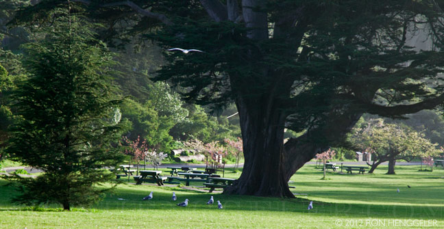
Golden Gate Park |
Golden Gate Park |
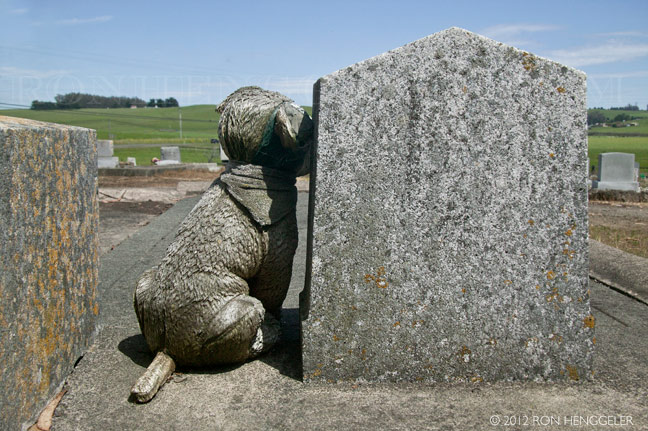
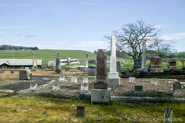
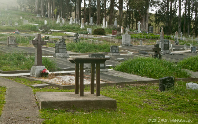
Old cemetery near Petaluma |
Old cemetery near Petaluma |
Old cemetery near Petaluma |
Old cemetery near Petaluma |
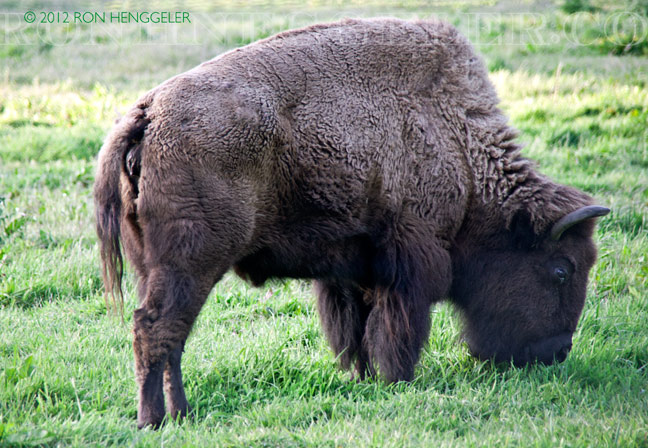
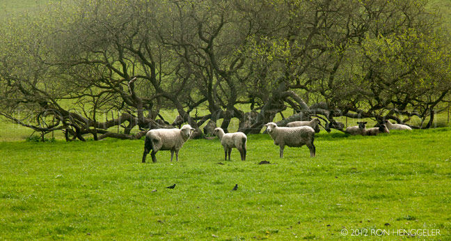
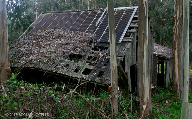
near Petaluma |
near Petaluma |
near Petaluma |
near Petaluma |
|
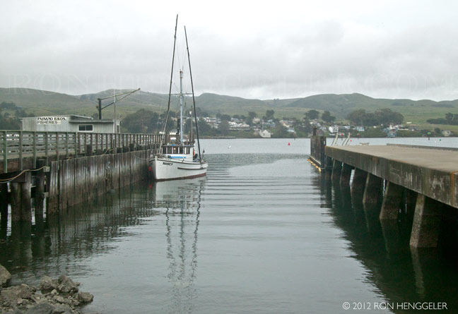
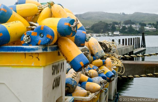
Bodega Bay |
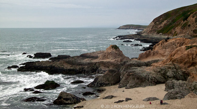
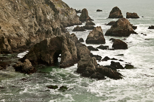
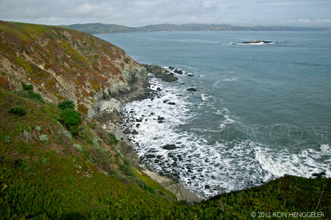
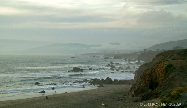
A view from the Bodega Head Bodega Head is a small promontory on the Pacific coast of northern California in the United States. It is located in Sonoma County approximately 40 miles northwest of San Francisco and approximately 20 miles west of Santa Rosa. |
A visitor in the parking lot at the entrance to the Bodega Head Trail |
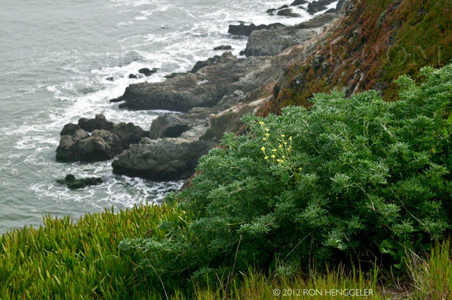
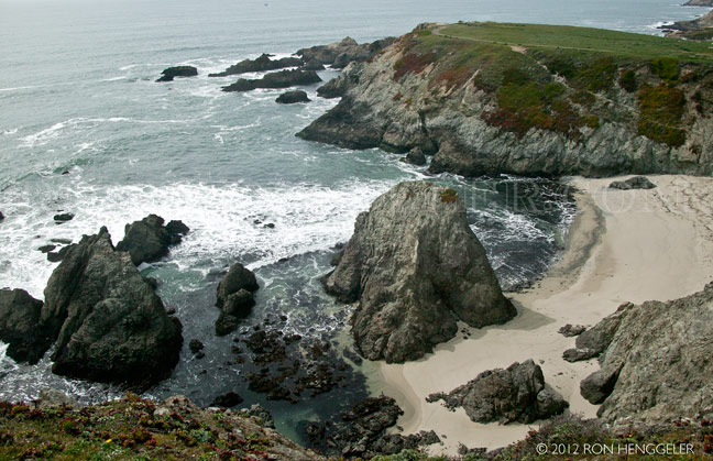
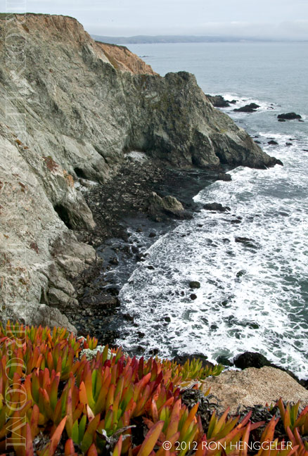
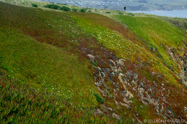
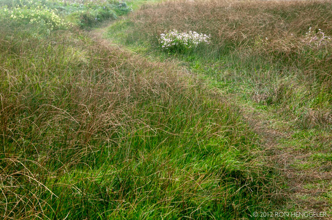
A view along the Bodega Head Trail The peninsula, which is approximately 4 miles long and 1 mile wide, emerges from the coast to the south. It shelters the shallow sandy Bodega Bay and the inner portion known as Bodega Harbor. Sonoma Coast State Beach comprises beaches and dunes along the south side of the promontory. |
A view along the Bodega Head Trail The University of California, Davis runs an ongoing marine biology program at the Bodega Marine Laboratory. The laboratory is located on the grounds of Bodega Marine Reserve, which is part of the UC Natural Reserve System. The peninsula is considered a prime spot to observe the migration of whales. It is also one of the three points of the Red Triangle, a major feeding ground for great white sharks. A series of trails are a popular destination for recreational hiking. |
A view along the Bodega Head Trail Bodega Head State Marine Reserve & Bodega Head State Marine Conservation Area protect area waters. Like underwater parks, these marine protected areas help conserve ocean wildlife and marine ecosystems.
|
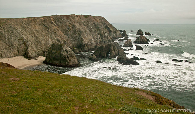
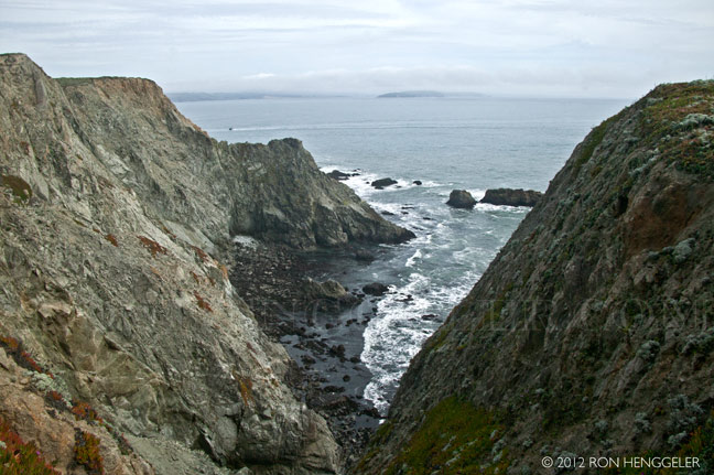
A view along the Bodega Head TrailBodega Head lies just on the west side of the San Andreas Fault, which runs between the base of the promontory and the mainland. During the 1906 San Francisco earthquake, the promontory shifted approximately 15 ft, displacing the harbor to the north relative to the mainland. |
A view along the Bodega Head Trail Geologically, the rocks of Bodega Head differ greatly from those on the mainland just to the east. Whereas the rocks of Bodega Head are exposed continental granite, the mainland rocks are of oceanic origin from the Franciscan Complex. Bodega Head is the northern tip of a vast geologic province known as the Salinian Block whose core is of the same origins as the core of the Sierra Nevada Mountains. The block was torn off the continent as the San Andreas Fault came into existence about 20 million years ago, and was transported northward hundreds of miles. Other nearby examples of the Salinian Block are the Point Reyes Peninsula and the Farallon Islands. |
A view along the Bodega Head Trail The peninsula was probably inhabited by the Coast Miwok people before the arrival of Europeans. Campbell Cove, on the east side of the promontory, is a candidate for Sir Francis Drake's 1579 landing site. |
A view along the Bodega Head Trail |
A view along the Bodega Head Trail |
A view along the Bodega Head Trail |
A view along the Bodega Head Trail |
A view along the Bodega Head Trail |
Bodega Bay |
Bodega Bay |
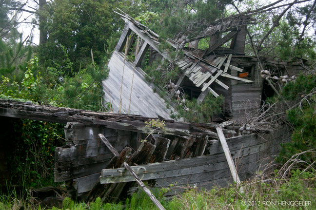
a view along the road near Bodega |
a view along the road near Bodega |
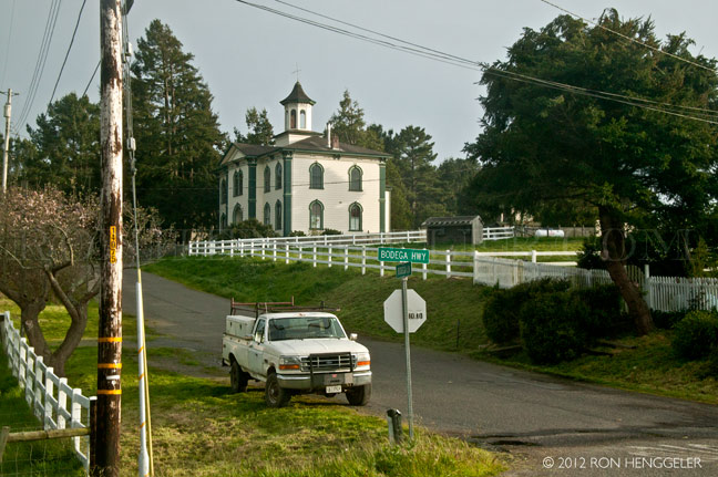
Bodega Cemetery |
In the town of Bodega The school house in Alfred Hitchcock's film, "The Birds" |
Highway One along the coast near Bodega Bay |


Newsletters Index: 2015, 2014, 2013, 2012, 2011, 2010, 2009, 2008, 2007, 2006
Photography Index | Graphics Index | History Index
Home | Gallery | About Me | Links | Contact
© 2015 All rights reserved
The images are not in the public domain. They are the sole property of the
artist and may not be reproduced on the Internet, sold, altered, enhanced,
modified by artificial, digital or computer imaging or in any other form
without the express written permission of the artist. Non-watermarked copies of photographs on this site can be purchased by contacting Ron.