RON HENGGELER |
May 2, 2012
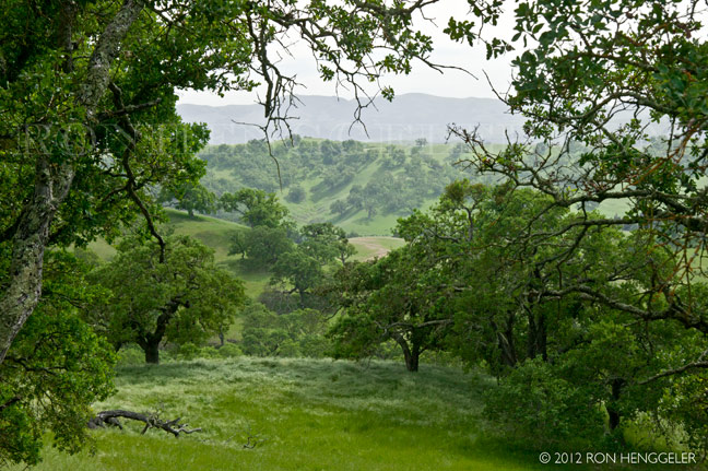
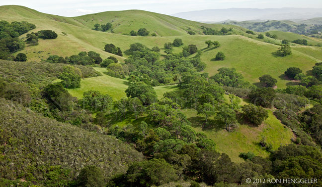
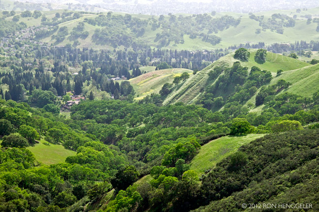
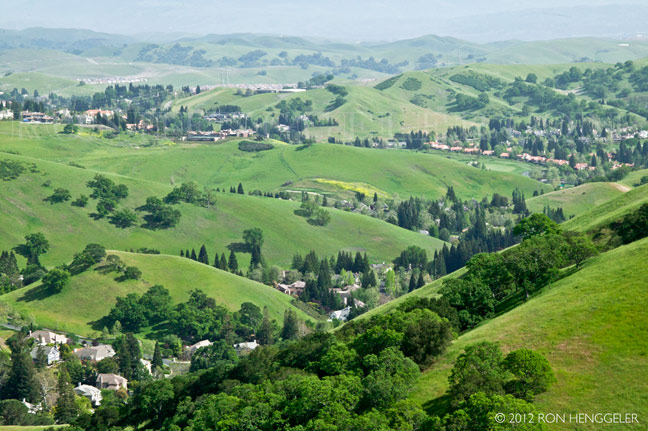
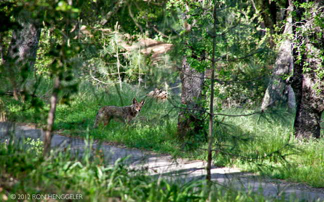
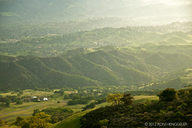
Impressions from Mt. Diablo
Text
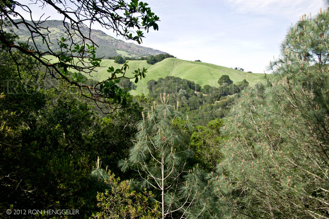
Mount Diablo is a mountain of the Diablo Range, in Contra Costa County of the eastern San Francisco Bay Area, in northern California. It is located south of Clayton and northeast of Danville. |
It is an isolated upthrust peak of 3,849 feet ,visible from most of the San Francisco Bay Area. Mount Diablo appears from many angles to be a double pyramid and includes many subsidiary peaks, the largest and closest of which is the other half of the double pyramid, North Peak, nearly as high in elevation at 3,557 feet and about one mile northeast of the main summit. |
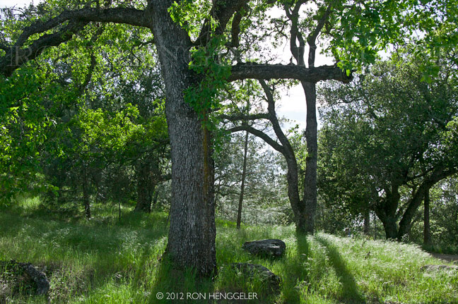
The peak is the centerpiece of Mount Diablo State Park, a state park of about 20,000 acres in area. The park was the first public open space of a complex—according to Save Mount Diablo—now including 38 preserves, including nearby city open spaces, regional parks, watersheds, that are buffered in some areas with private lands protected with conservation easements. Preserved lands on and around Mount Diablo total more than 90,000 acres. The day use fee for Mount Diablo State Park is $6 or $10 per vehicle depending on where you enter the park. |
|
|
|
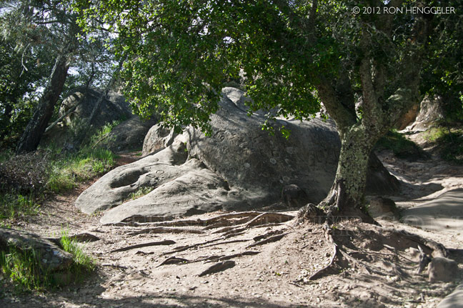
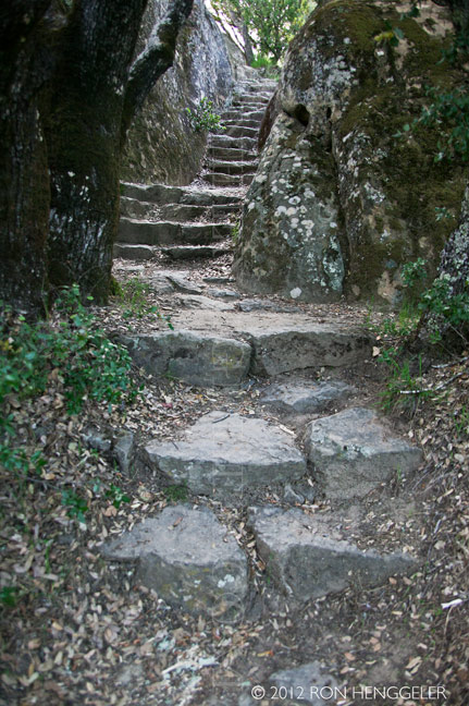
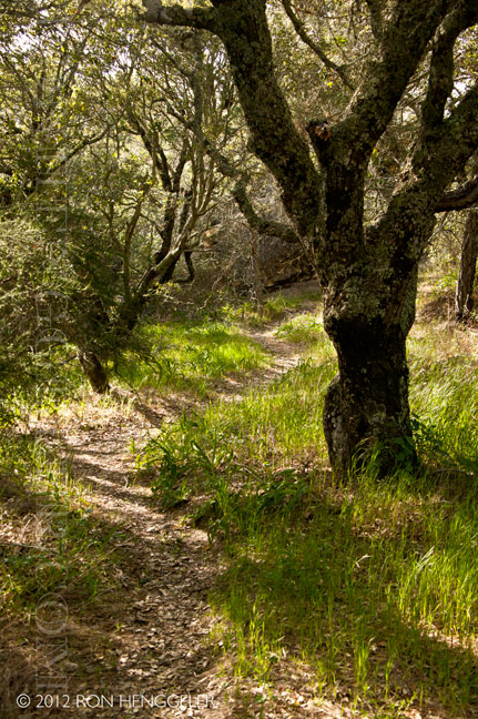
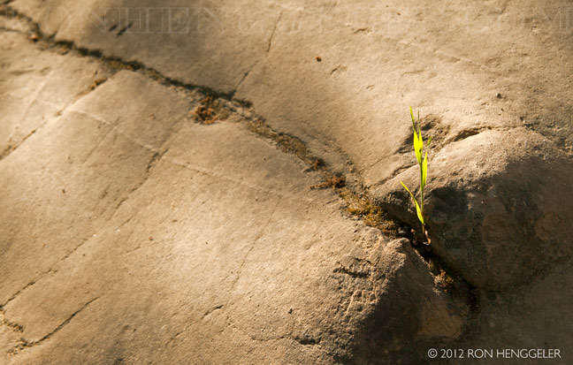
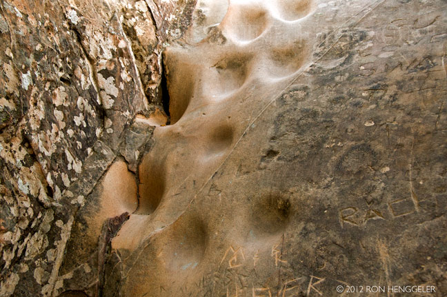
Rock City at Mt Diablo |
Rock City at Mt Diablo |
Rock City at Mt Diablo |
Rock City at Mt Diablo |
Rock City at Mt Diablo |
Rock City at Mt Diablo |
Rock City at Mt Diablo |
Rock City at Mt Diablo |
|
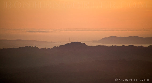
The Devil's Pulpit On a clear day the Sierra Nevada is plainly visible. (The best views are after a winter storm; a snowy Sierra shows up better, and summer is likely to be hazy.) Lassen Peak, 181 miles away, is occasionally visible. Sentinel Dome in Yosemite National Park is visible, but Half Dome is hidden by the 8000-foot ridge at 37.755N 119.6657W. Eight bridges are visible, from west to east; San Mateo; Bay; Golden Gate; San Rafael; Carquinez; Benicia; Antioch and Rio Vista. |
|
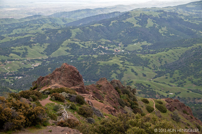
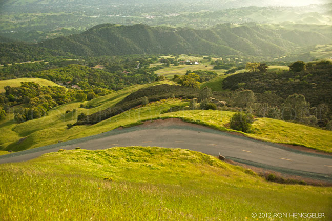
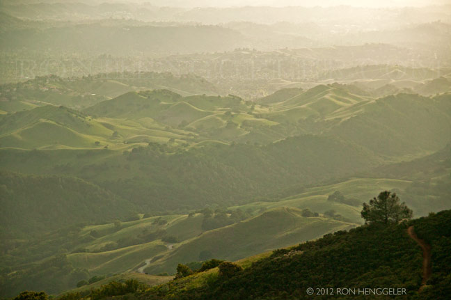
Historic claims that the mountain's viewshed is the largest in the world—or second largest after Mount Kilimanjaro—are unfounded. It does boast one of the largest viewsheds in the Western United States and it played a key role in California history. Countless peaks in the state are taller, but Mount Diablo has a remarkable visual prominence for a mountain of such modest elevation. Its recognizable form and looming presence over so much of the bay, delta, and Central Valley, and good visibility even from the Mother Lode, all key regions during the gold rush and early statehood, made it not just a well-known visual touchstone but an important landmark for mapping and navigation. The summit serves as the reference datum for land surveying in much of northern California and Nevada. |
|
|
A dusk sky and the Golden Gate Bridge as seen with a 300mm lens from ther summit of Mt Diablo |


Newsletters Index: 2015, 2014, 2013, 2012, 2011, 2010, 2009, 2008, 2007, 2006
Photography Index | Graphics Index | History Index
Home | Gallery | About Me | Links | Contact
© 2015 All rights reserved
The images are not in the public domain. They are the sole property of the
artist and may not be reproduced on the Internet, sold, altered, enhanced,
modified by artificial, digital or computer imaging or in any other form
without the express written permission of the artist. Non-watermarked copies of photographs on this site can be purchased by contacting Ron.