RON HENGGELER |
August 29, 2012
San Francisco's Museum of Modern Art, Crissy Field, and Stanford University
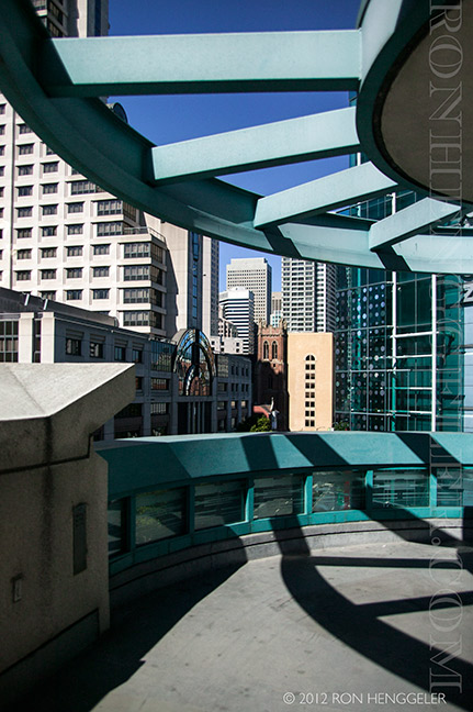
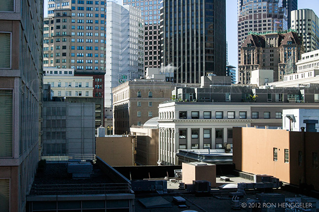
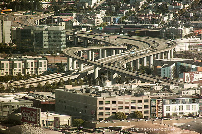
A view of Mission Street at 4th Street from the rooftop of the Fifth St. Parking Garage |
A view of the top of the Intercontinental Hotel from the rooftop of the Fifth St. Parking Garage |
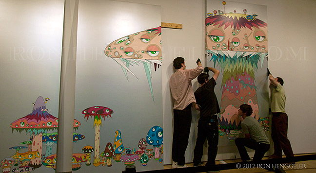
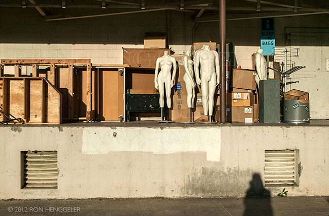
Hanging a new show at the San Francisco Museum of Modern Art |
San Francisco's Museum of Modern Art |
San Francisco's Museum of Modern Art |
San Francisco's Museum of Modern Art |
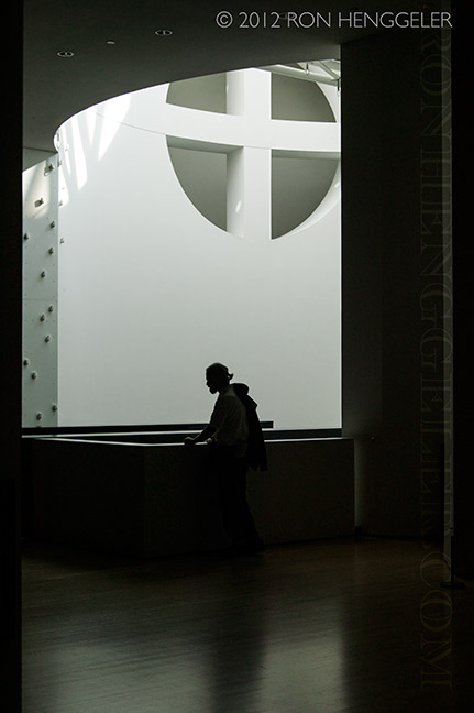
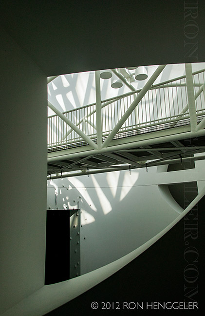
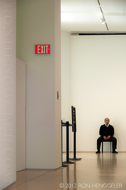
Views inside the San Francisco Museum of Modern Art |
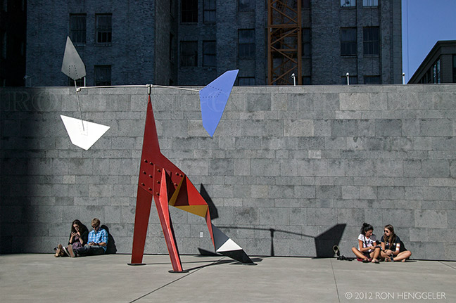
A city view from the Sculpture Garden at the San Francisco Museum of Modern Art |
Sculpture Garden at the San Francisco Museum of Modern Art |
Views inside the San Francisco Museum of Modern Art |
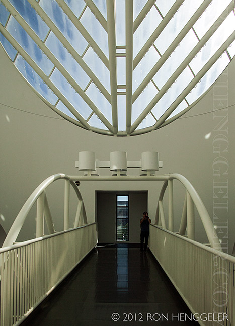
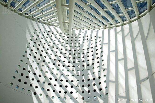
Detail of the skylight at the San Francisco Museum of Modern Art |
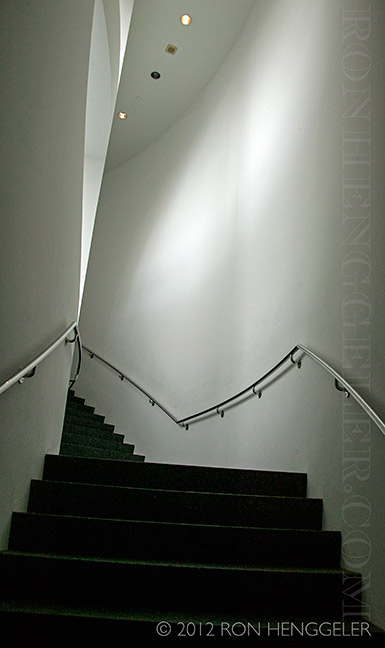
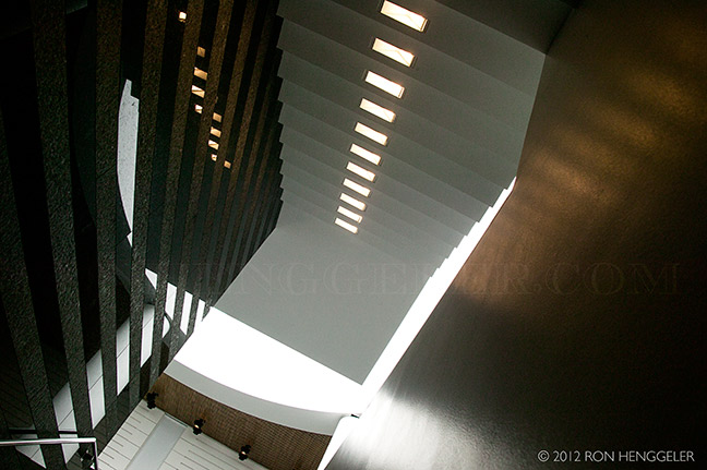
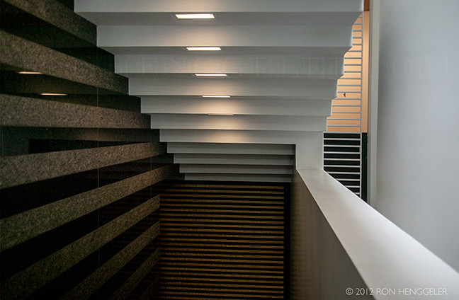
Detail of the stairs at the San Francisco Museum of Modern Art |
Detail of the stairs at the San Francisco Museum of Modern Art |
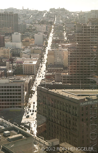
A view looking west, from the top of the Marriot Hotel at 4th and Mission in San Francisco |
A view looking south, from the top of the Marriot Hotel at 4th and Mission in San Francisco |
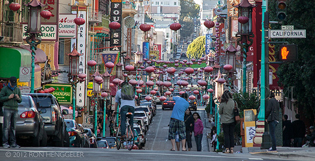
Grant Avenue at California in San Francisco's Chinatown |
A scene in the San Francisco Presidio |
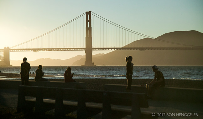
Crissy Field The Golden Gate Bridge seen from Crissy Field in the San Francisco Presidio Crissy Field, a former U.S. Army airfield, is now part of the Golden Gate National Recreation Area in San Francisco, California, United States. Historically part of the Presidio of San Francisco, Crissy Field closed as an airfield after 1974. Under Army control, the site was affected by dumping of hazardous materials.[1] The National Park Service took control of the area in 1994 and cleaned it up, and in 2001 the Crissy Field Center opened to the public.[2] While most buildings have been preserved as they were in the 1920s, some have been transformed into offices, retail space, and residences. |
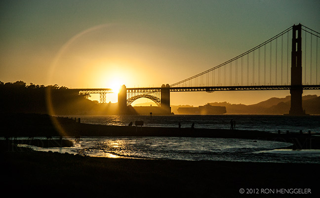
Crissy Field The Golden Gate Bridge at sunset, seen from Crissy Field in the San Francisco Presidio The land Crissy Field resides on is an ancient 130-acre salt marsh and estuary. Prior to European settlement, the Ohlone people used the area for harvesting shellfish and fish. They also lived in seasonal camps in the area, leaving behind shell middens in the archaeological record. The Spanish arrived in 1776 and called the area El Presidio. They began to use the area for livestock grazing and agriculture. The 127-acre marsh site was filled in during the 1870s. This alteration was finished in time for the 1915 Panama Pacific International Exposition. The U.S. Army took control of the Presidio in 1846, using the tidal wetland as a wasteland for dumping and draining. After filling in the marshlands, the Army covered over it and created an airfield. |
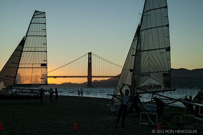
Crissy Field The Golden Gate Bridge at dusk, seen from Crissy Field in the San Francisco Presidio In 1994 the National Park Service (NPS) took over the Presidio, and Crissy Field was declared a "derelict concrete wasteland" by NPS. Due to environmental concerns about the former airfield, NPS and the Environmental Protection Agency used funds to monitor the area's chemical, biological and physical variables. NPS eventually worked with the Golden Gate National Parks Conservancy to revitalize the area and the Crissy Field Center was opened to the public in 2001. |
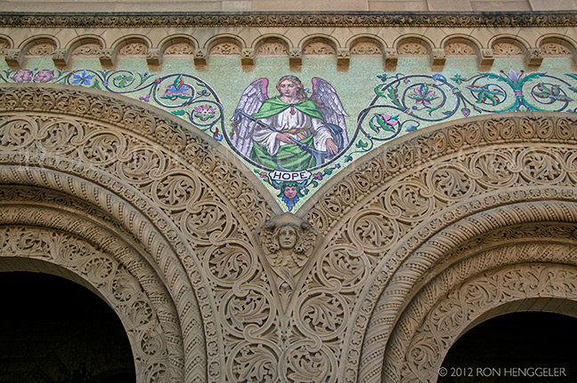
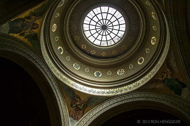
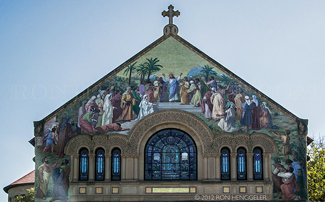
Detail of the Stanford Memorial Church at Stanford University Stanford Memorial Church (also referred to informally as MemChu) is located on the Main Quad at the center of the Stanford University campus in Stanford, California, United States. It was built during the American Renaissance by Jane Stanford as a memorial to her husband Leland. Designed by architect Charles A. Coolidge, a protégé of Henry Hobson Richardson, the church has been called "the University's architectural crown jewel". |
Detail of the Stanford Memorial Church at Stanford University Designs for the church were submitted to Jane Stanford and the university trustees in 1898, and it was dedicated in 1903. The building is Romanesque in form and Byzantine in its details, inspired by churches in the region of Venice, especially, Ravenna. Its stained glass windows and extensive mosaics are based on religious paintings the Stanfords admired in Europe. The church has five pipe organs, which allow musicians to produce many styles of organ music. Stanford Memorial Church has withstood two major earthquakes, in 1906 and 1989, and was extensively renovated after each. |
|
A detail of the Stanford Memorial Church. The church is located at the center of the Stanford University campus. Stanford Memorial Church was the earliest and has been "among the most prominent" non-denominational churches on the West Coast of the United States. Since its dedication in 1903, the church's goal has been to serve the spiritual needs of the university in a non-sectarian way. The church's first chaplain, David Charles Gardner, began a tradition of leadership which has guided the development of Stanford University's spiritual, ethical, and academic relation to religion. The church's chaplains were instrumental in the founding of Stanford's religious studies department, moving Stanford from a "completely secular university" at the middle of the century to "the renaissance of faith and learning at Stanford" in the late 1960s, when the study of religion at the university focused on social and ethical issues like race and the Vietnam War. |
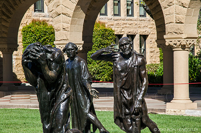
A detail of The Burghers of Calais by Auguste Rodin, on campus at Stanford University |
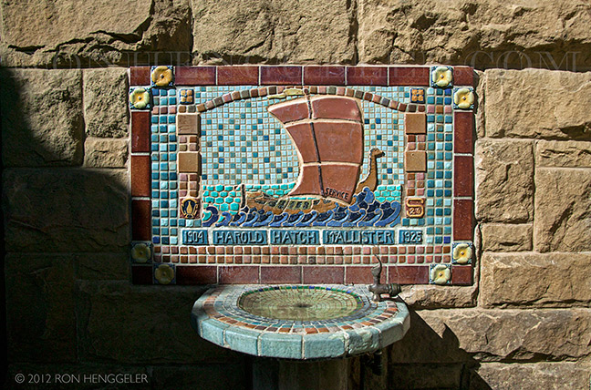
The Harold Hatch McAllister water fountain at Stanford University |
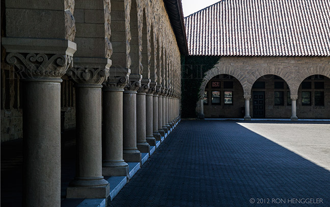
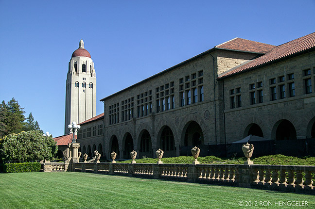
Stanford University |
|
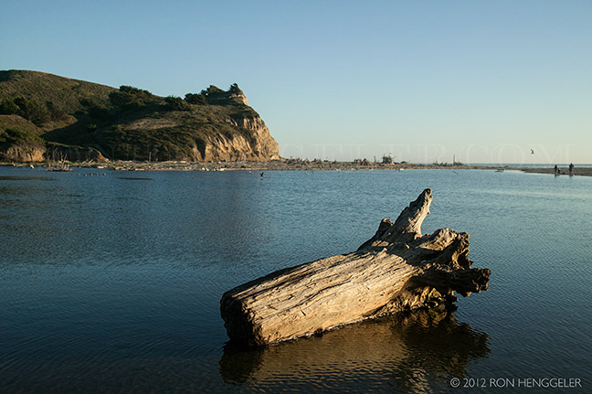
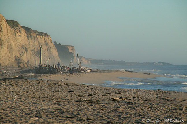
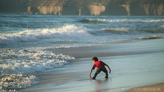
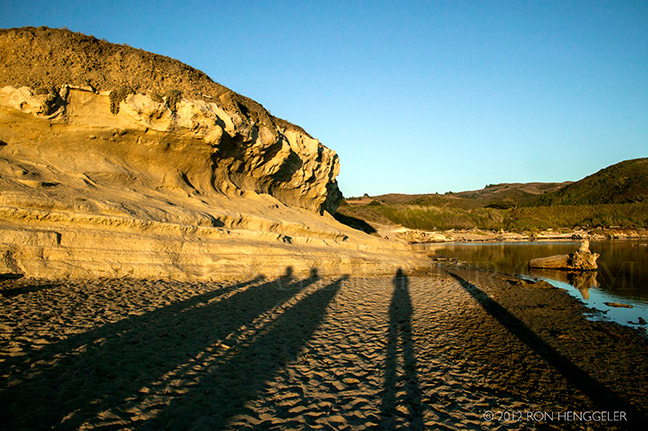
San Gregorio State Beach |
A view looking south at San Gregorio Beach, on Highway One, south of San Francisco San Gregorio State Beach is a beach near San Gregorio, California, USA, south of Half Moon Bay. Part of the California State Park System, the beach lies just west of the intersection of State Route 1 and State Route 84. |
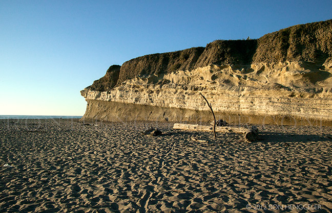
A view looking northwest at San Gregorio Beach, on Highway One, south of San Francisco Park facilities include restrooms and picnic tables. Dogs are not permitted on the beach, as it has been identified as potential nesting habitat for the endangered (official status "threatened") Western Snowy Plover. North of the main beach is a nude beach (private property) that charges a fee to park in their parking lot north of the park's lot that provides closer access. A stone marker with a plaque commemorates (now missing) the three days Spanish explorer Gaspar de Portolà's expedition camped at the beach to rest and treat their sick in 1769, during his first (failed) attempt to reach Monterey Bay. They would go on to discover San Francisco Bay instead. The site is registered as California Historical Landmark 26. |
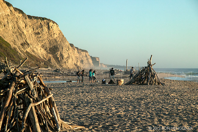
A view looking southwest at San Gregorio Beach, on Highway One and south of San Francisco |
A view looking southwest at San Gregorio Beach, on Highway One, south of San Francisco San Gregorio State Beach is a beach near San Gregorio, California, USA, south of Half Moon Bay. Part of the California State Park System, the beach lies just west of the intersection of State Route 1 and State Route 84. |
A view looking southwest at San Gregorio Beach, on Highway One and south of San Francisco |
A view at sunset looking east from San Gregorio Beach, on Highway One, south of San Francisco |
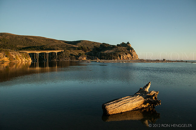
San Gregorio Creek widens to form a small freshwater lagoon in the park behind a sand berm, or barrier beach, which typically blocks the mouth of the creek, forcing the creekwaters to flow underfoot as they seep into the Pacific Ocean. |
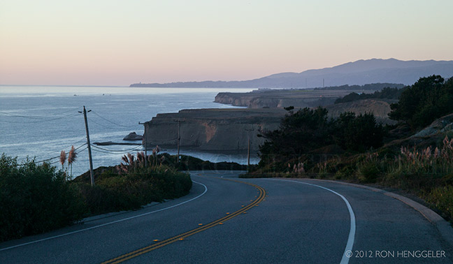
Highway 1 near San Gregoria Beach |
Newsletters Index: 2015, 2014, 2013, 2012, 2011, 2010, 2009, 2008, 2007, 2006
Photography Index | Graphics Index | History Index
Home | Gallery | About Me | Links | Contact
© 2015 All rights reserved
The images are not in the public domain. They are the sole property of the
artist and may not be reproduced on the Internet, sold, altered, enhanced,
modified by artificial, digital or computer imaging or in any other form
without the express written permission of the artist. Non-watermarked copies of photographs on this site can be purchased by contacting Ron.