RON HENGGELER |
May 12, 2015
A weekend of waterfront discoveries
On Sunday, Dave and I drove the deserted back streets along the San Francisco waterfront stretching from AT&T Ball Park to Hunters Point in the Bay View area. On Monday, we crossed the Bay Bridge over to Yerba Buena Island to view the ongoing demolition of the old cantilevered eastern section of the Bay Bridge. Here are some of my impressions from the two days.
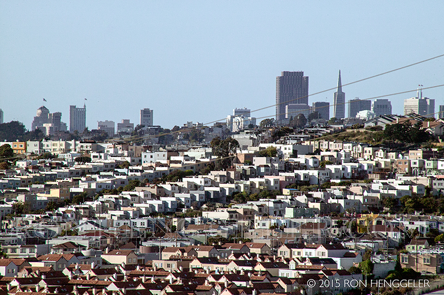
A view of distant San Francisco seen from near the Bayview Park on the hilltop overlooking Candlestick Park. (in the distance. . .the Mark Hopkins Intercontinental Hotel on the far left, the Transamerica Pyramid and B of A Building on the right) |
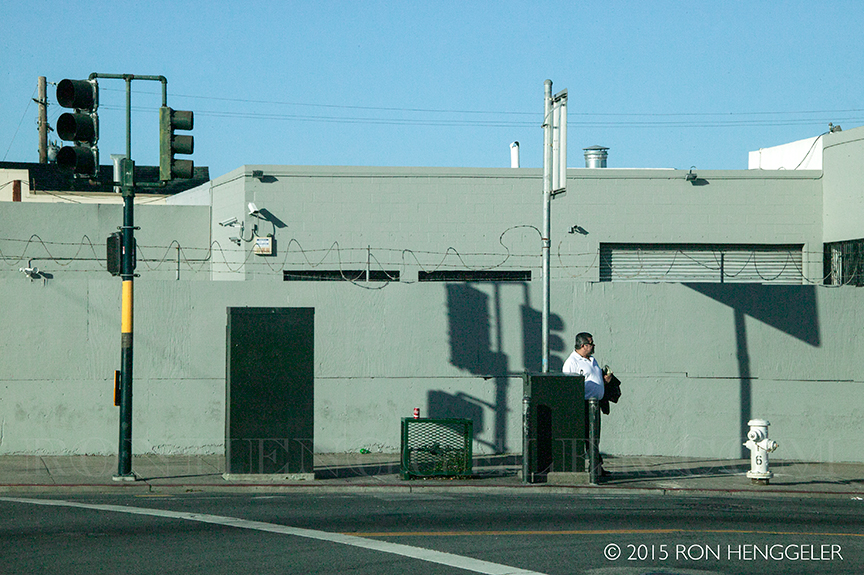
Homage to painter Edward Hopper at 3rd and Cesar Chavez Street |
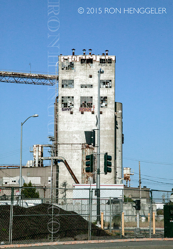
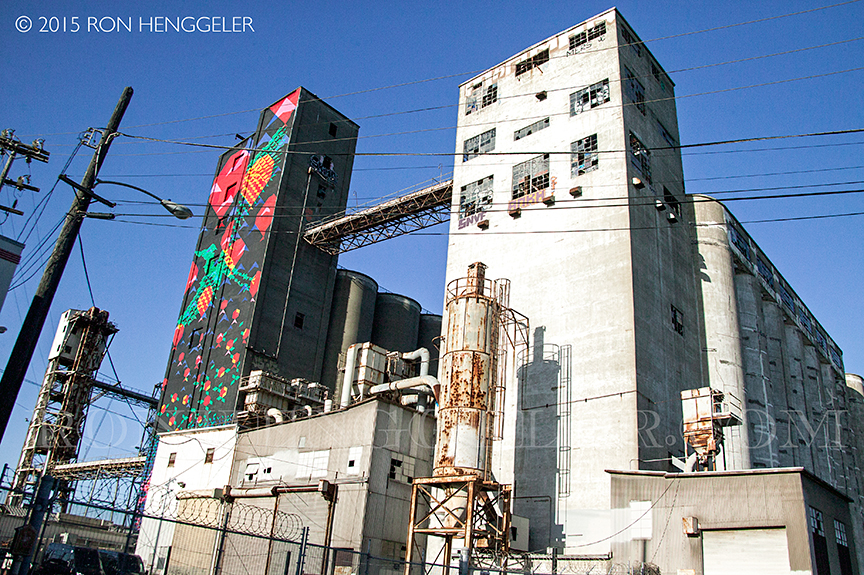
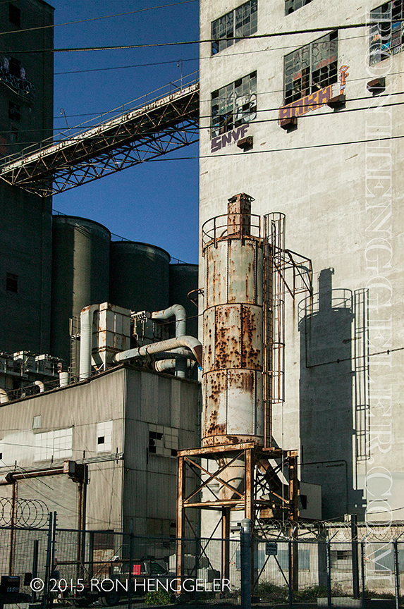
A derelict grain elevator at Pier 90 near the Islais Creek Channel in the Hunters Point area. |
A derelict grain elevator at Pier 90 near the Islais Creek Channel in the Hunters Point area. These abandoned silos on Pier 90/92 formerly stored grain that was brought in by rail and then loaded from the silos onto ships for export. These operations were discontinued following the 1989 Loma Prieta earthquake. |
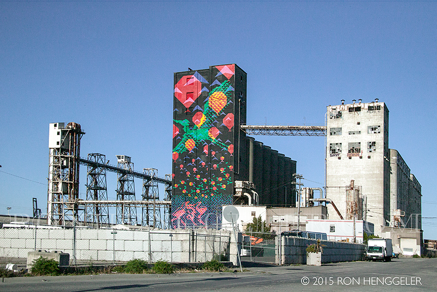
The grain elevator at Pier 90 near the Islais Creek Channel in the Hunters Point area. Pier 90/92 was created in 1918 by the State Harbor Commission. In the 1920’s the grain terminal also had a mill to serve local needs. The terminal could hold 500,000 bushels, the principal grain that flowed through them was barley. In the 1970’s the terminal was used to export grains to Russia during their severe drought. To learn more about the art installation on this building go to: http://www.artandarchitecture-sf.com/painted-grain-silos-in-san-francisco.html |
The derelict building and grain silos at Pier 90 near the Islais Creek Channel in the Hunters Point area. To learn more about the art installation on this building go to: http://www.artandarchitecture-sf.com/painted-grain-silos-in-san-francisco.html |
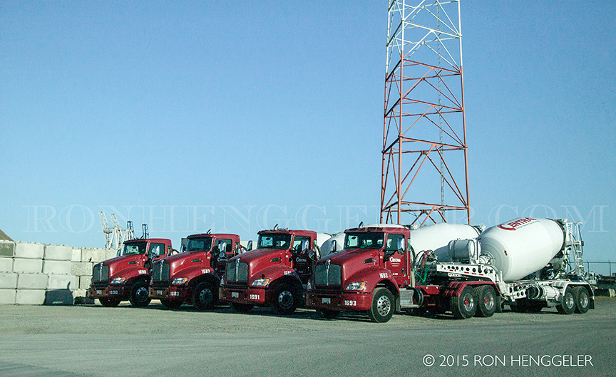
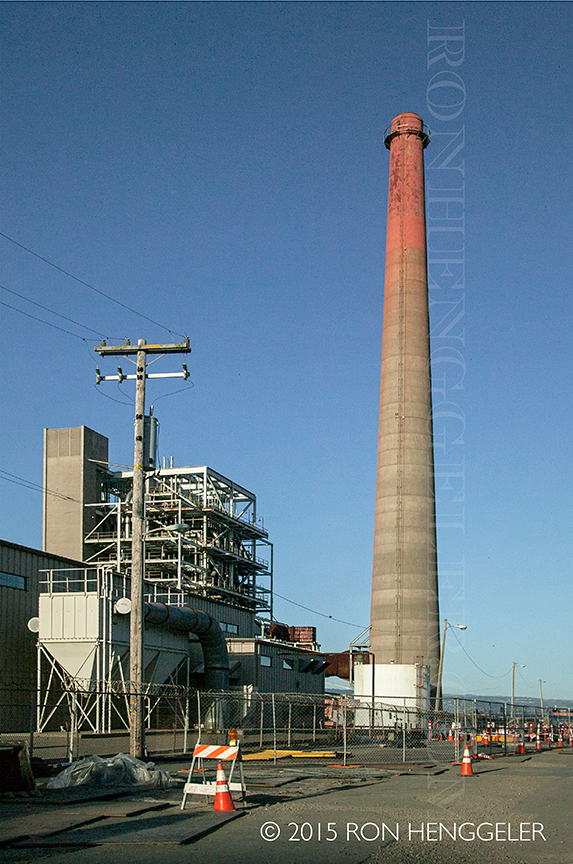
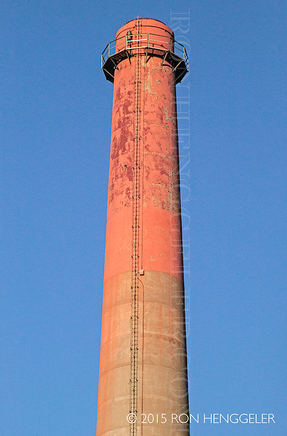
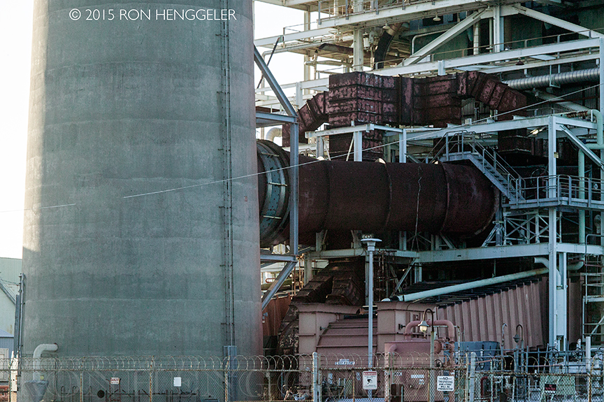
Cemex and Bode Concrete on Amador Street at Pier 90 near the Islais Creek Channel in the Hunters Point area. |
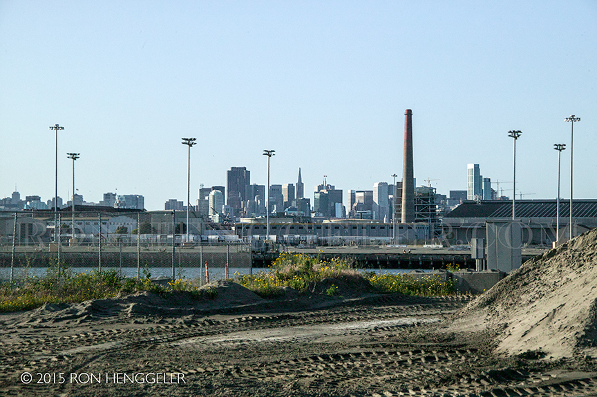
A view of distant San Francisco from Pier 90 which runs alongside the Islais Creek Channel in the Hunters Point area. |
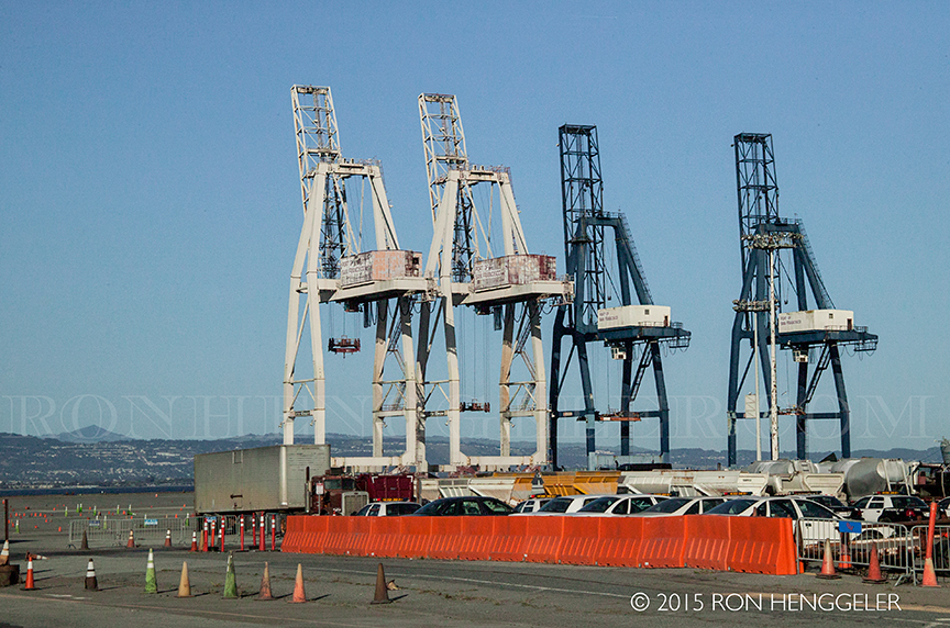
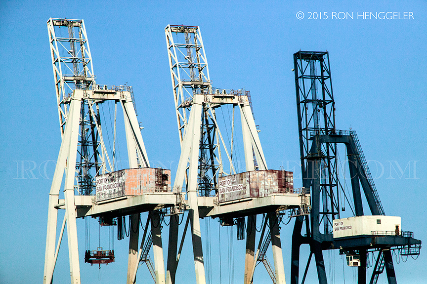
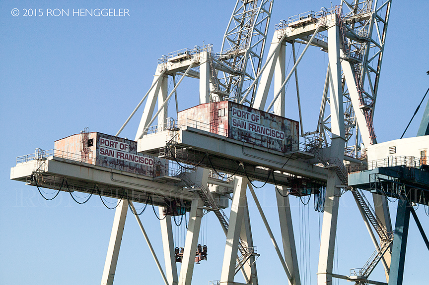
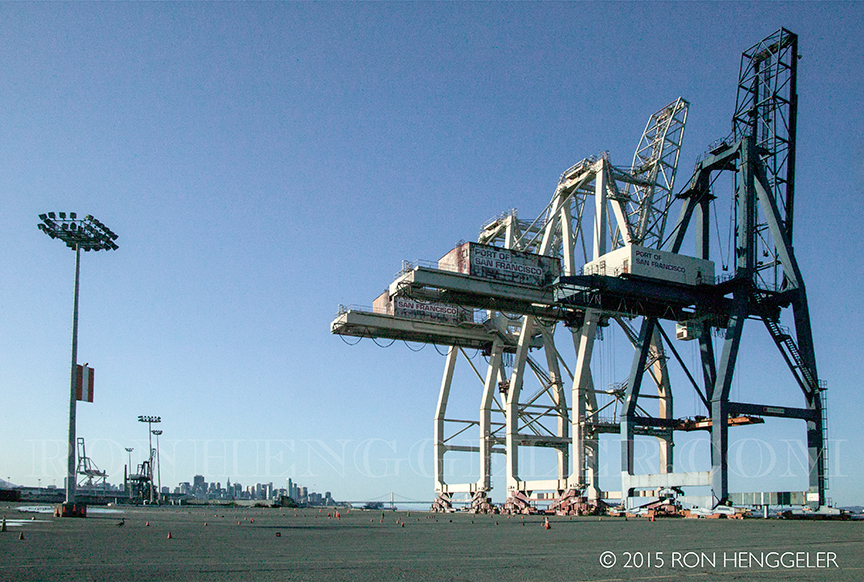
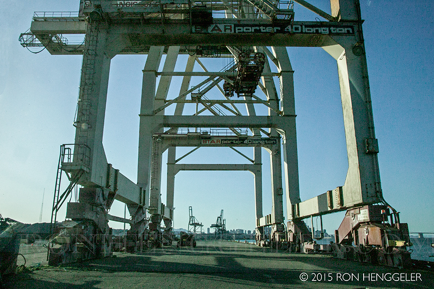
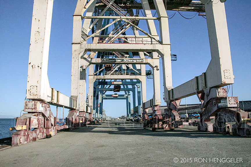
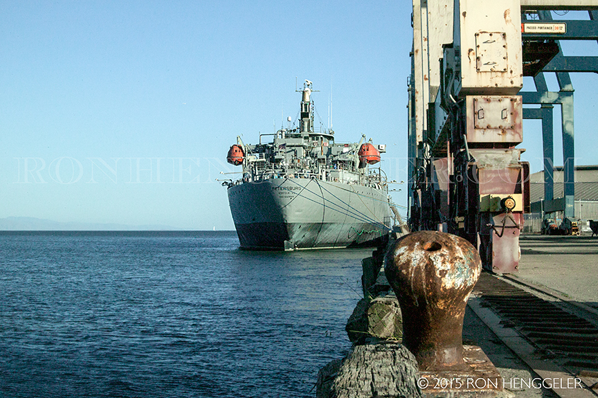
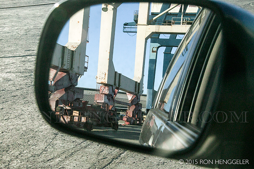
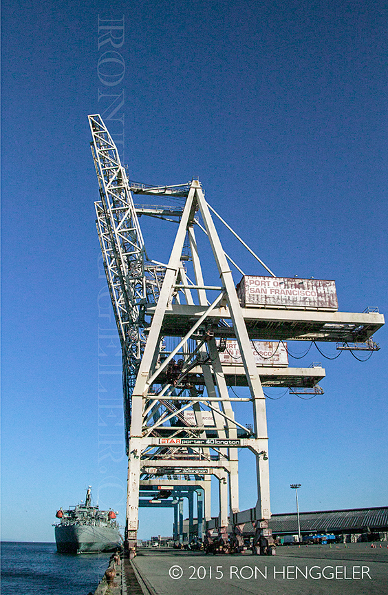
Old derelict cranes from the Port of San Francisco at Pier 96 near the Isalis Creek Channel |
Detail of the old derelict cranes from the Port of San Francisco at Pier 96 near the Isalis Creek Channel |
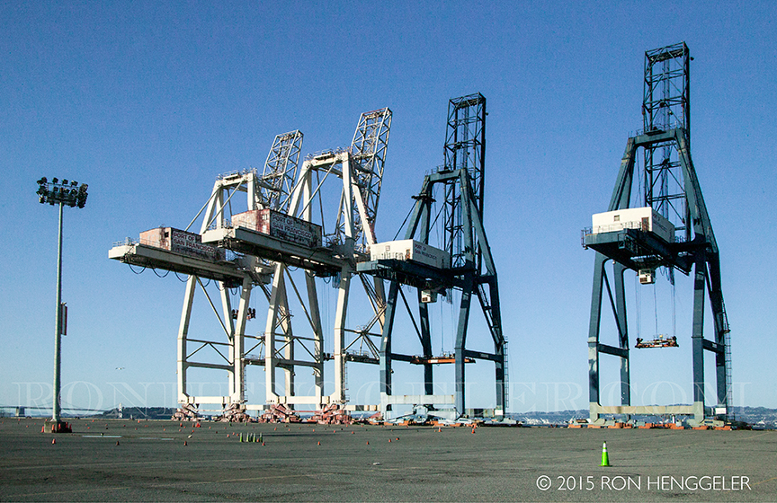
Pier 96 |
Text |
Pier 96 |
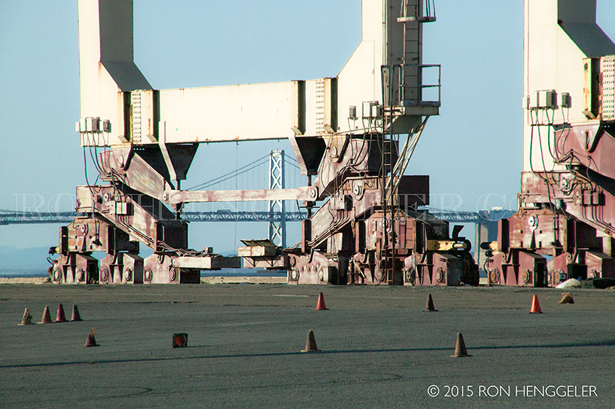
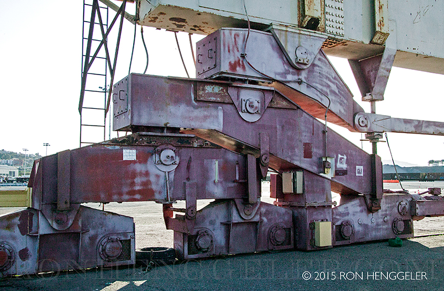
The massive feet of one of the cranes at Pier 96 |
Pier 96 in San Francisco |
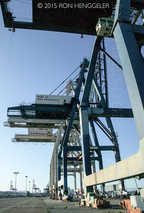
Old Port of San Francisco Cranes on Pier 96 |
Detail of the massive feet of one of the cranes at Pier 96 |
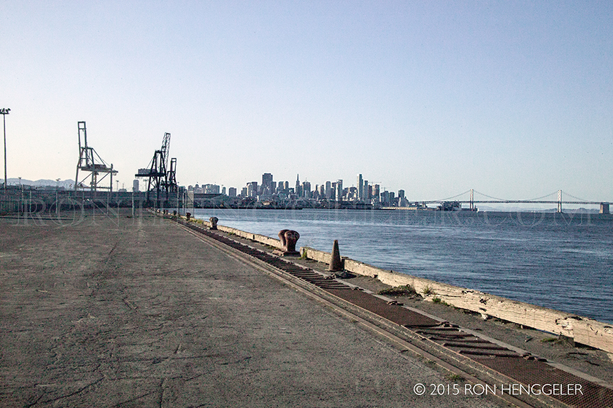
A view of the San Francisco skyline from Pier 96 |
|
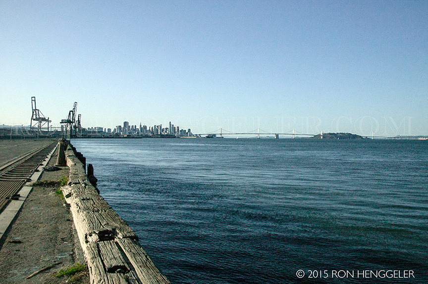
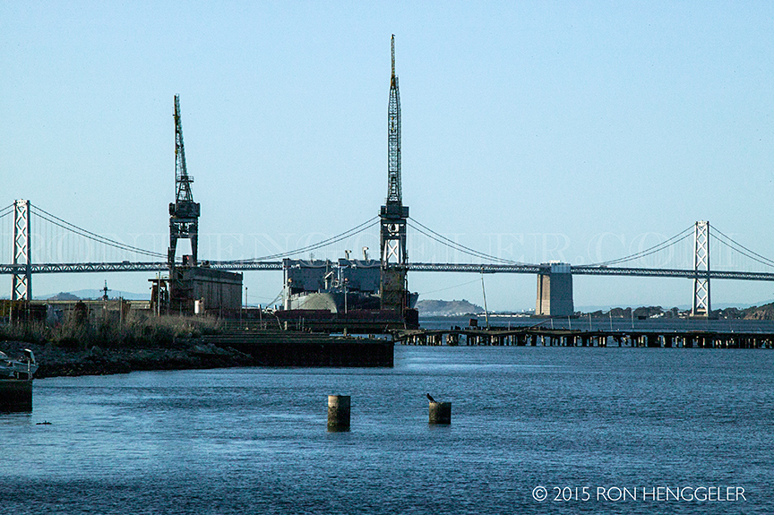
San Francisco Bay, the San Francisco skyline, and the Bay Bridge. . .seen from Pier 96 |
|
|
|
The derelict building at the end of 23rd Street near Warm Water Cove on Potrero Point |
|
A view of the Bay Bridge from Potrero Point |
Detail of the derelict building at the end of 23rd Street near Warm Water Cove on Potrero Point |
Detail of the derelict building at the end of 23rd Street near Warm Water Cove on Potrero Point |
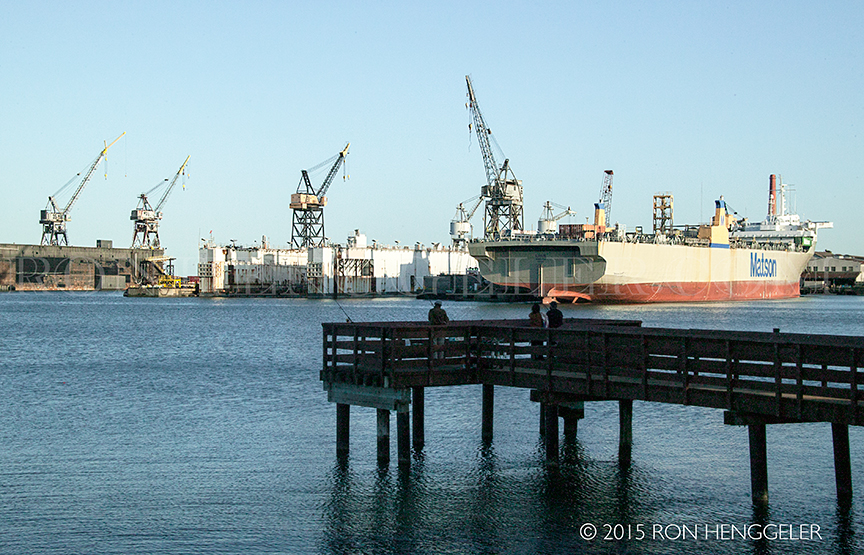
The fishing pier on the shoreline of Central Basin at 16th and Terry A. Francois Blvd. |
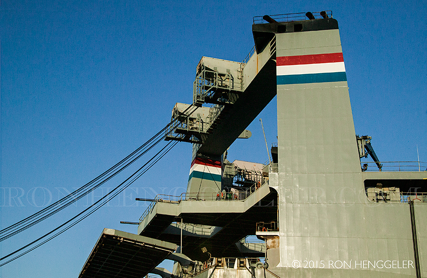
Detail of a large ship at Pier 50 in the China Basin at Mission Rock Street and Terry A. Francois Blvd |
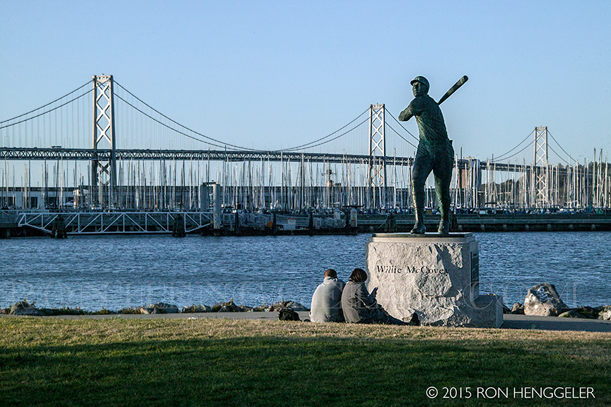
A view of the park near Pier 48 overlooking China Basin and McCovey Cove across from the AT&T Ball Park |
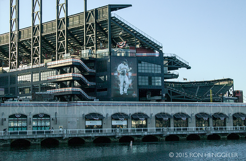
AT&T Ball Park viewed from across McCovey Cove while standing in the China Basin Park at the Anchor Steam Beer Garden on Terry A. Francois Blvd . |
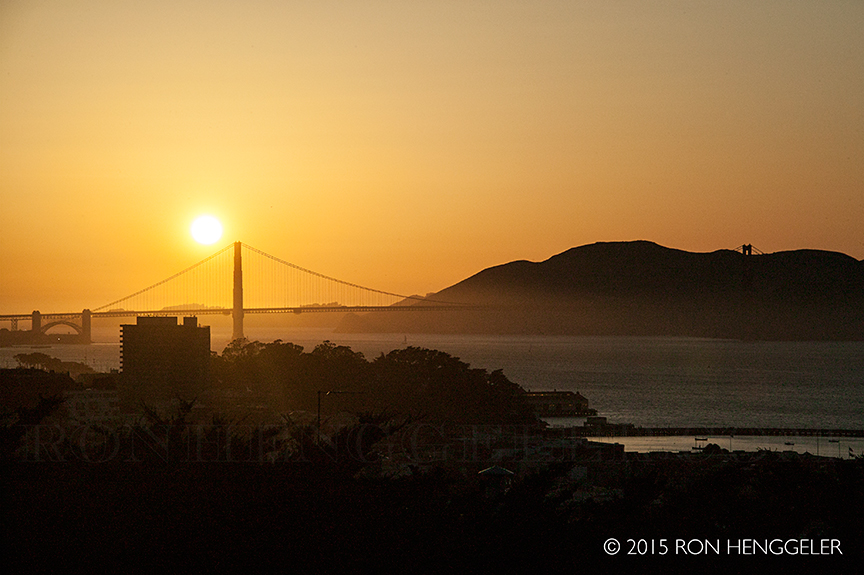
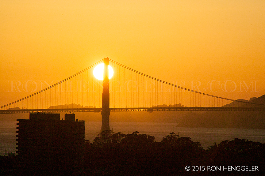
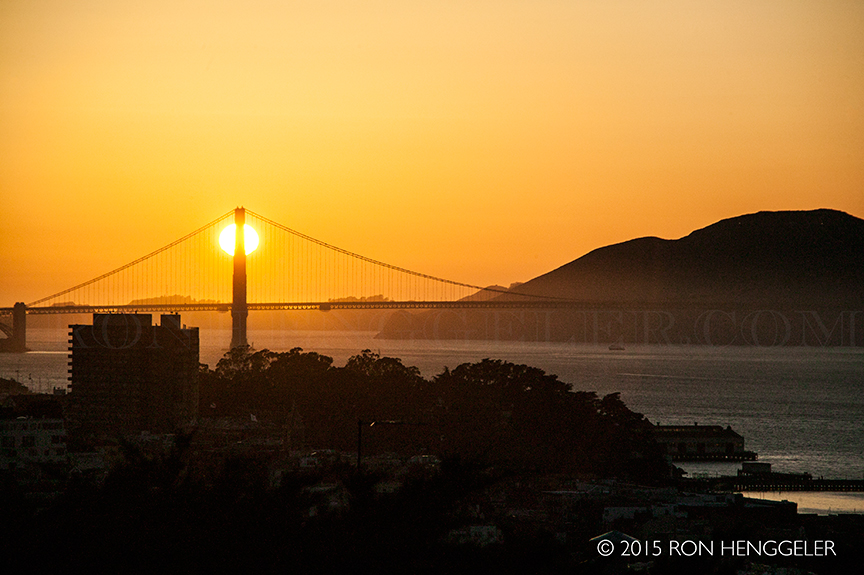
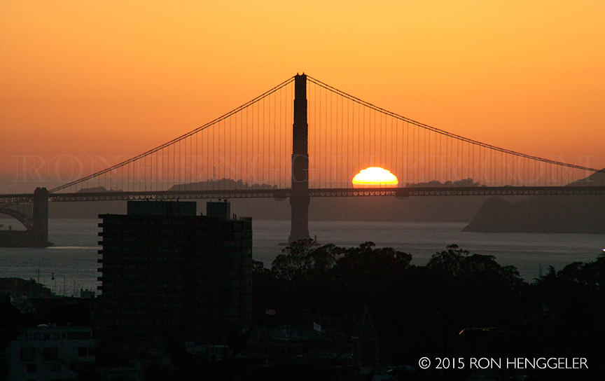
Sunset on the Golden Gate as viewed from Coit Tower on Telegraph Hill in San Francisco |
Sunset on the Golden Gate as viewed from Coit Tower on Telegraph Hill in San Francisco |
|
|
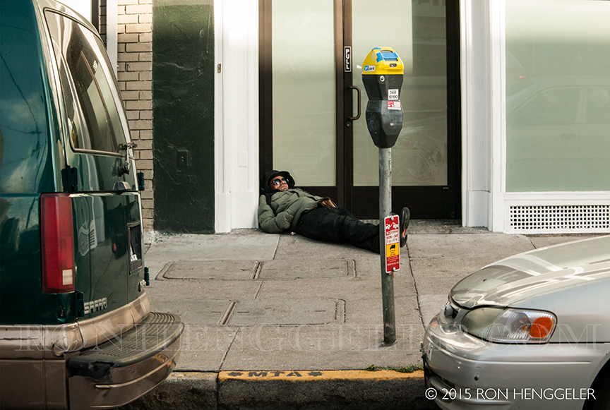
Mission Street near 7th |
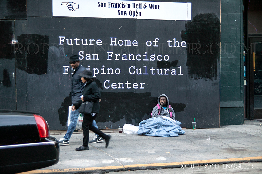
Mission Street near 6th in San Francisco |
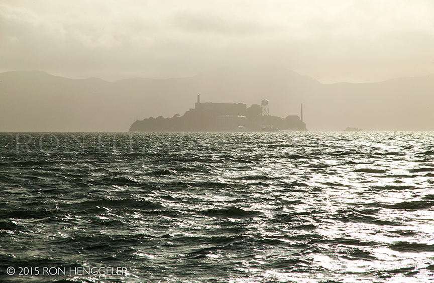
Alcatraz as seen from the Avenue of the Palms on Treasure Island |
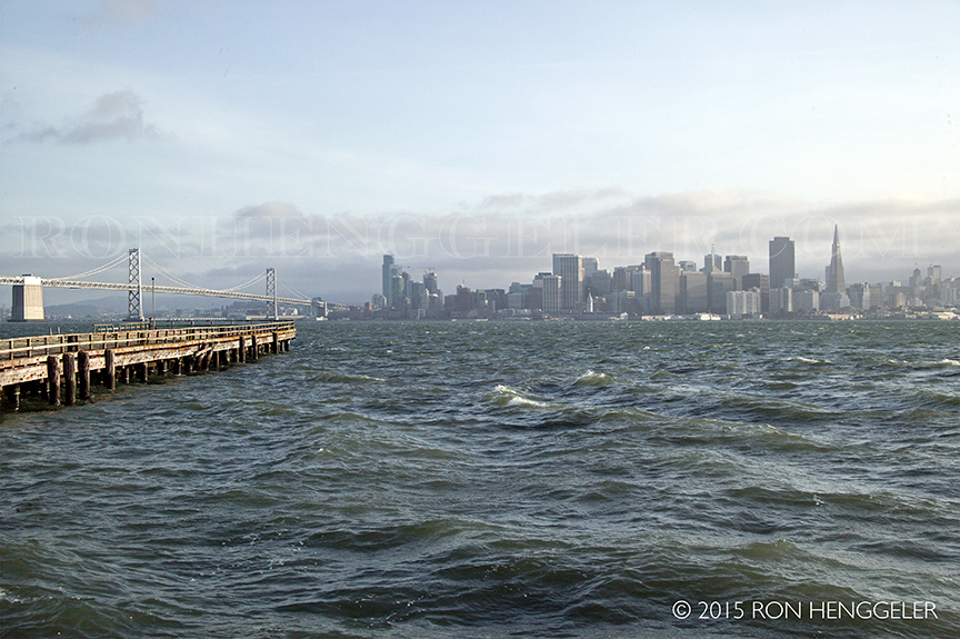
San Francisco as seen from the Avenue of the Palms on Treasure Island |
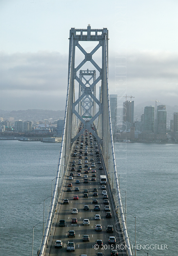
Traffic on the upper deck of the San Francisco Oakland Bay Bridge heading into San Francisco as seen from Forest Road on the top of Yerba Buena Island |
|
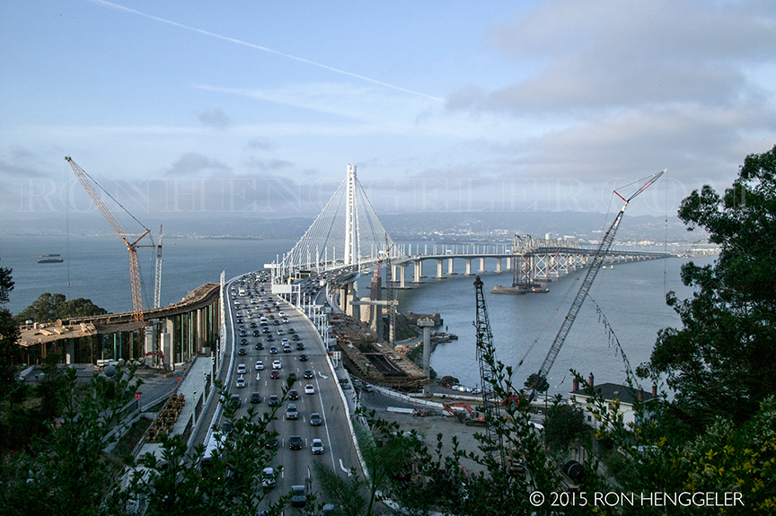
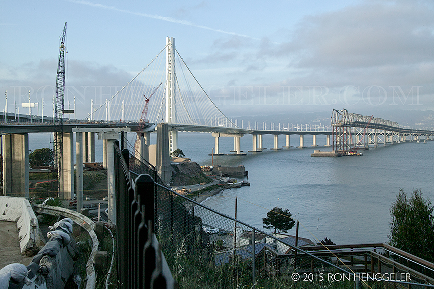
On the east side of Yerba Buena Island, the new Bay Bridge alongside the old cantilevered span currently being deconstructed |
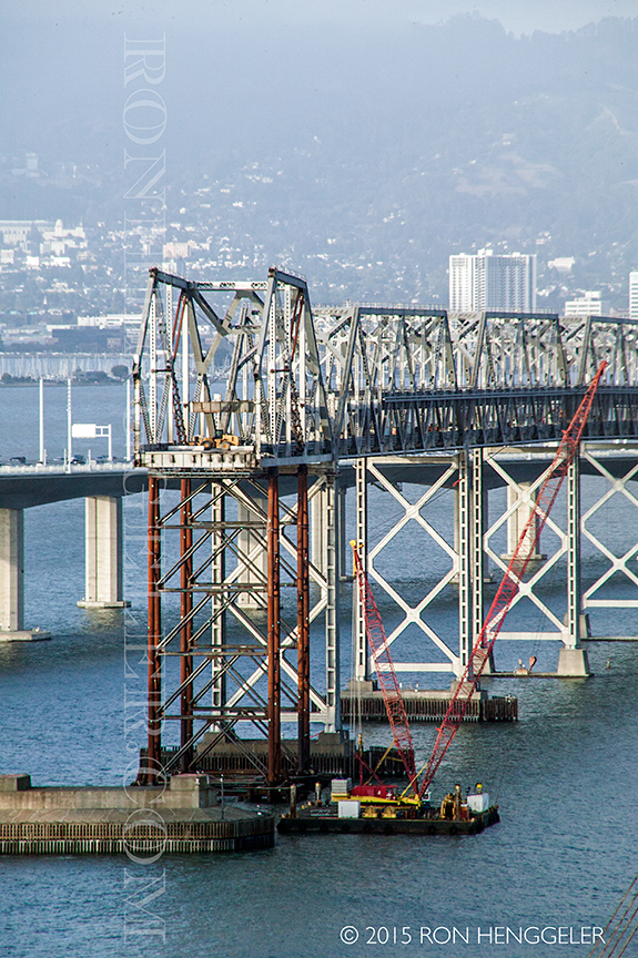
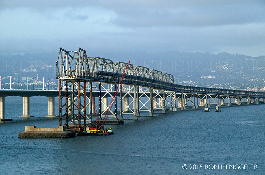
Detail of the old cantilevered eastern span of the Bay Bridge currently being deconstructed |
Close-up of the new Bay Bridge on the east side of Yerba Buena Island |
The old cantilevered eastern span of the Bay bridge currently being deconstructed |
|
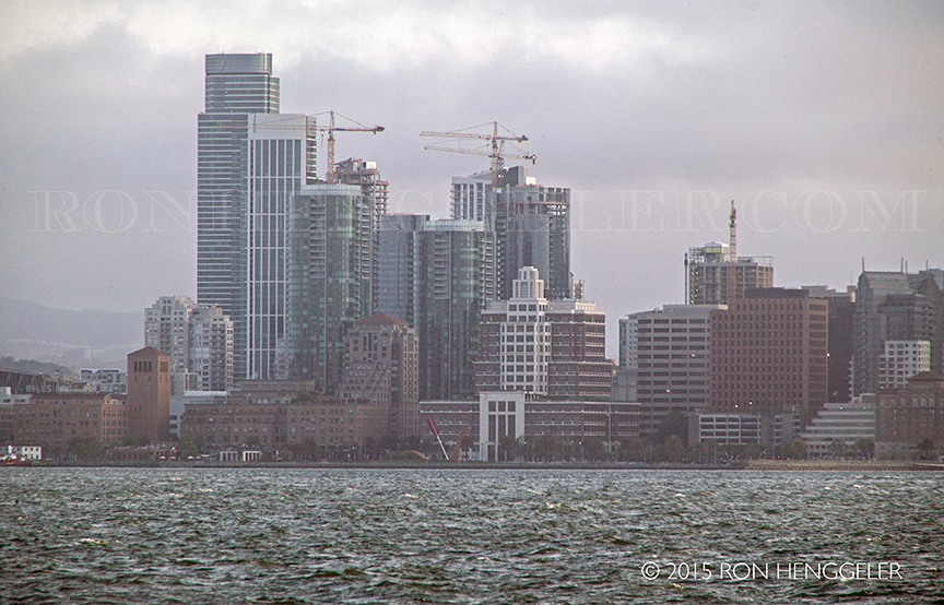
The current highrise building boom on Rincon Hill in San Francisco seen from Yerba Buena Island |
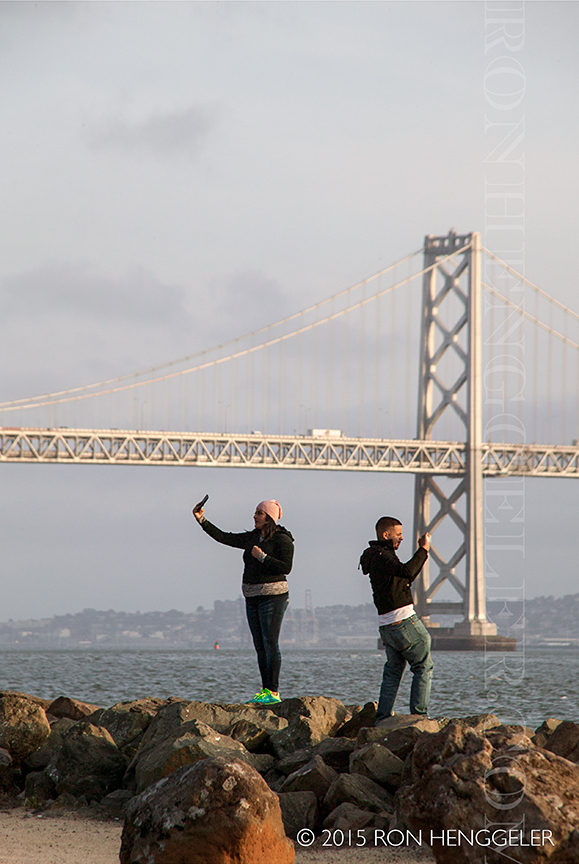
The new 'sign of the times'. . .selfies |
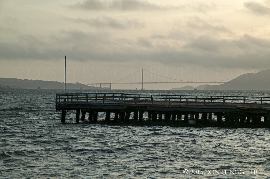
The Golden Gate Bridge seen from the Avenue of the Palms on Treasure Island |
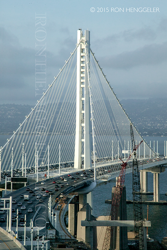
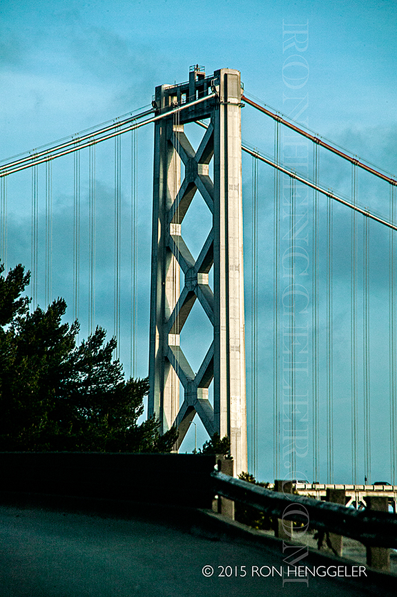
Detail of the tower of the San Francisco Oakland Bay Bridge seen from the top of Treasure Island Rd. on Treasure Island |
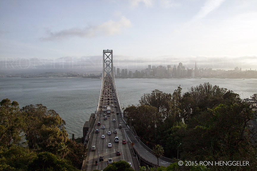
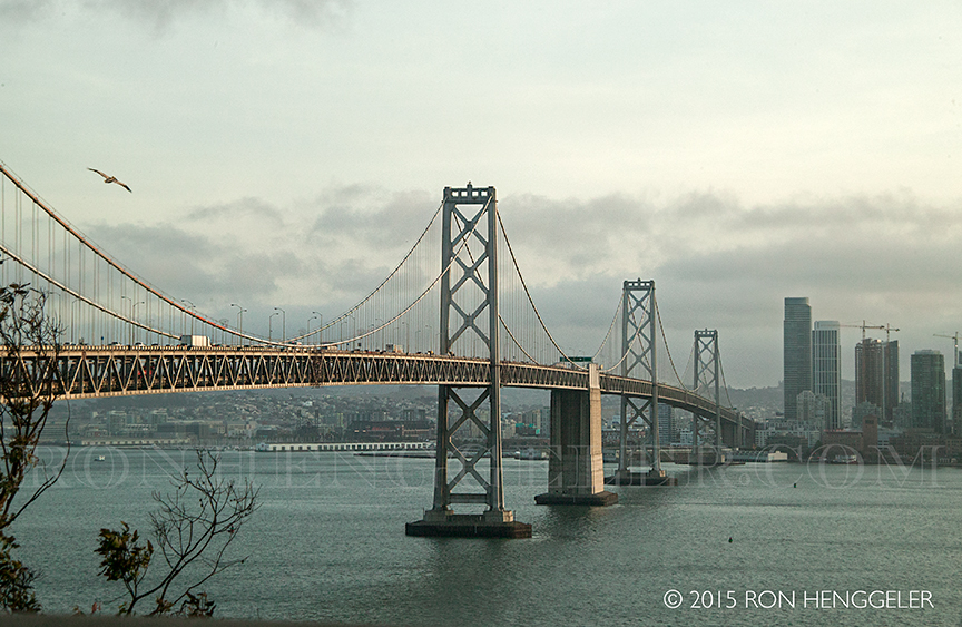
The San Francisco Oakland Bay Bridge seen from the top of Treasure Island Rd. on Treasure Island |
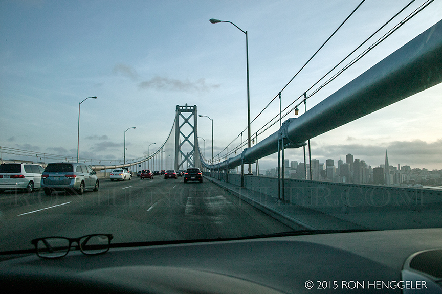
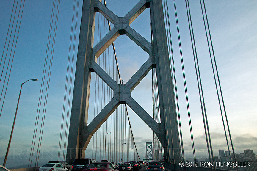
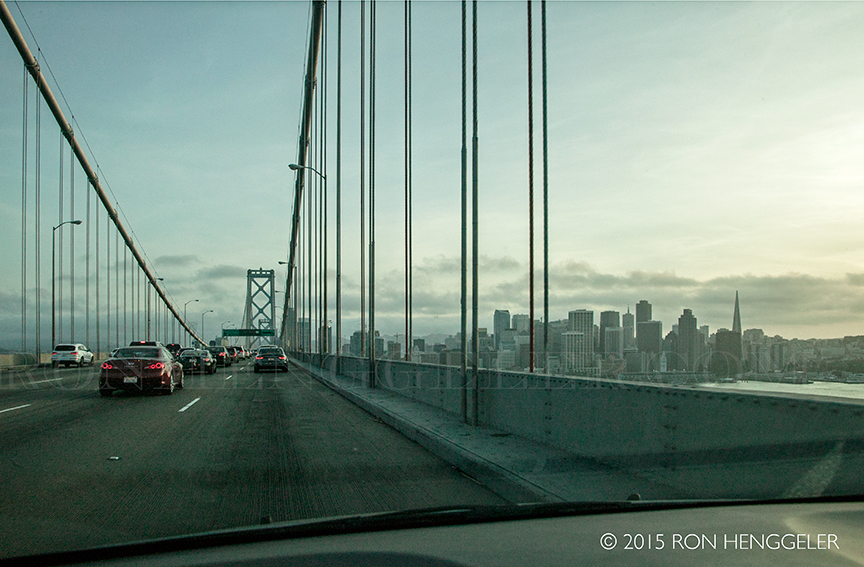
A view on the upper deck of the San Francisco Oakland Bay Bridge while driving back in to San Francisco |
A view on the upper deck of the San Francisco Oakland Bay Bridge while driving back in to San Francisco |
A view on the upper deck of the San Francisco Oakland Bay Bridge while driving back in to San Francisco |
Newsletters Index: 2015, 2014, 2013, 2012, 2011, 2010, 2009, 2008, 2007, 2006
Photography Index | Graphics Index | History Index
Home | Gallery | About Me | Links | Contact
© 2015 All rights reserved
The images are not in the public domain. They are the sole property of the
artist and may not be reproduced on the Internet, sold, altered, enhanced,
modified by artificial, digital or computer imaging or in any other form
without the express written permission of the artist. Non-watermarked copies of photographs on this site can be purchased by contacting Ron.