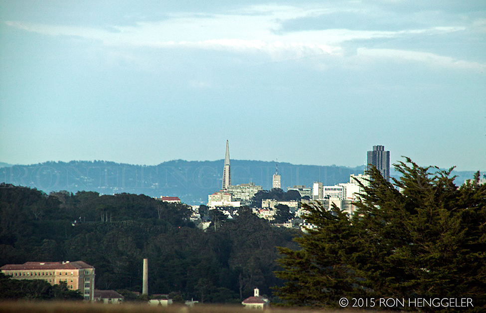
A far distant San Francisco as seen from the parking lot of the Palace of the Legion of Honor in Lincoln Park.
|
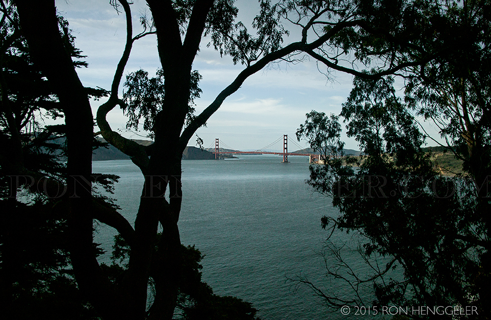
The Golden Gate Bridge as seen from the Lincoln Highway-El Camino Del Mar in Lincoln Park.
|
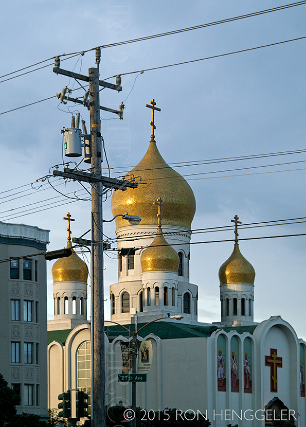
The Russian Orthodox Holy Virgin Cathedral on Geary Blvd at 26th Avenue in San Francisco
|
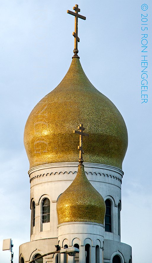
Detail of the dome of the Holy Virgin Cathedral on Geary Blvd in San Francisco
|
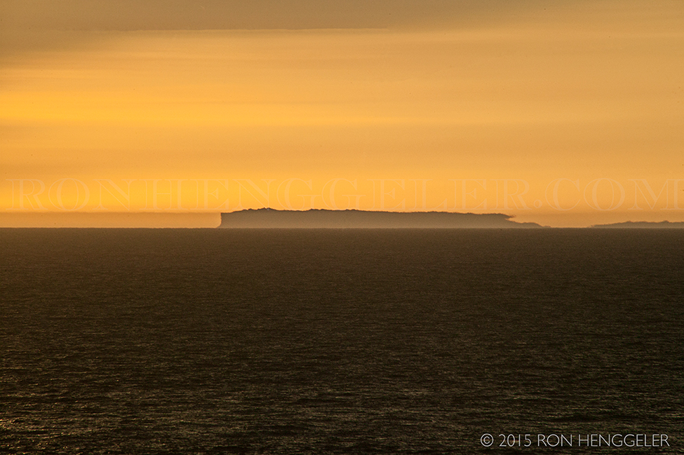
A thick marine layer of fog hugging close to the Point Reyes peninsula, as seen with a 300 mm lens from the ruins of the Sutro Baths.
|
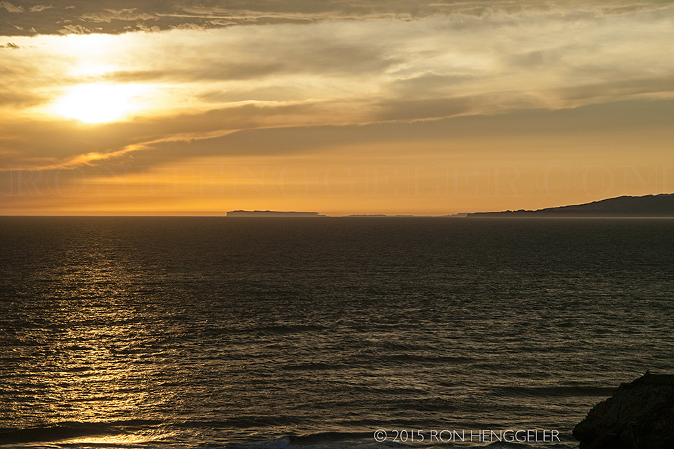
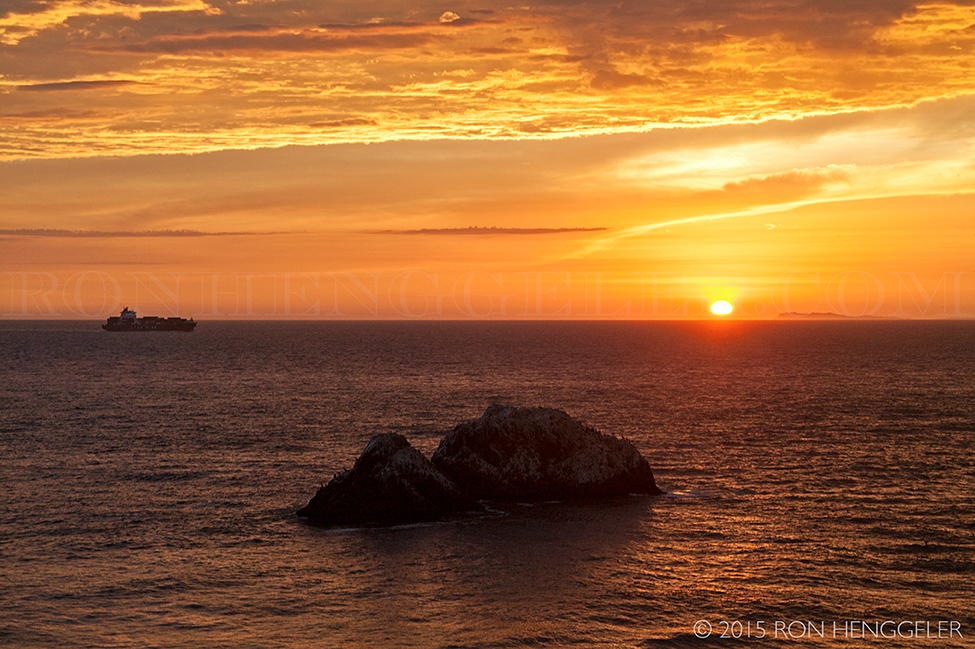
The far-distant Point Reyes peninsula on the horizon, as seen at sunset from the ruins of the Sutro Baths.
|
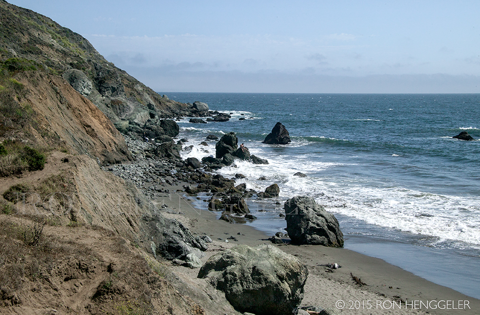
Ocean Beach seen from the hilltop overlooking the ruins of the Sutro Baths.
|
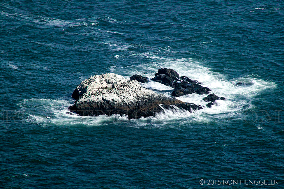
A close-up of Seal Rocks on Ocean Beach seen from the hilltop overlooking the ruins of the Sutro Baths.
|
Ocean Beach seen from the hilltop overlooking the ruins of the Sutro Baths.
|

Seal Rocks on Ocean Beach seen from the hilltop overlooking the ruins of the Sutro Baths.
|
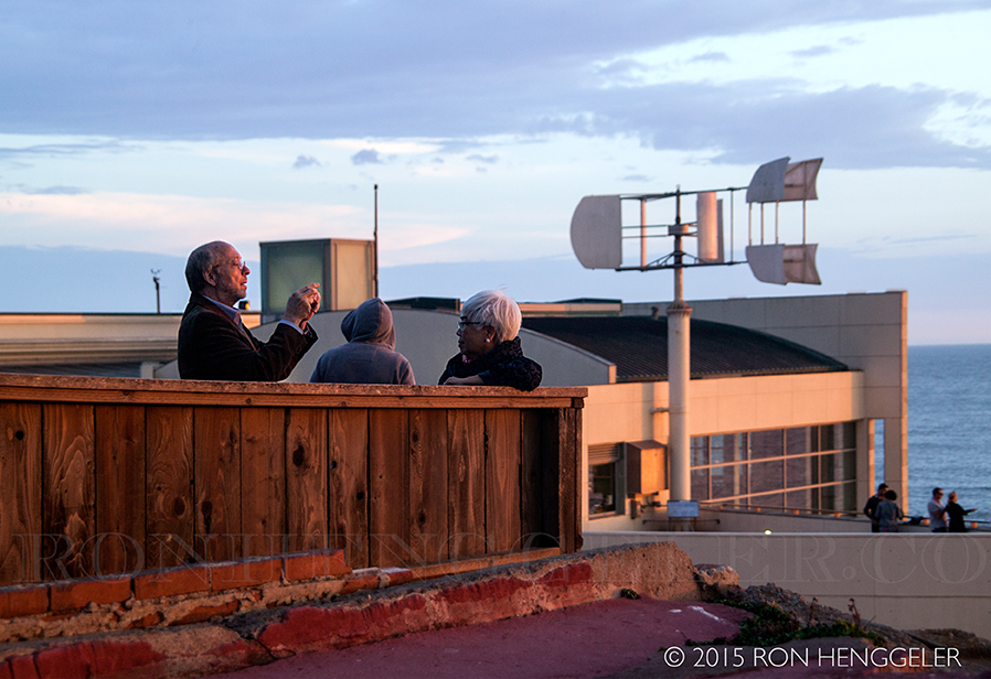
A Kodak moment at the Cliff House that overlooks Seal Rocks, Ocean Beach, and the ruins of the Sutro Baths.
|
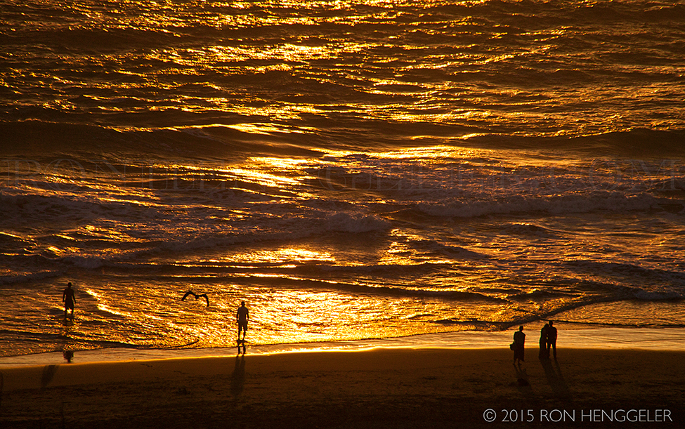
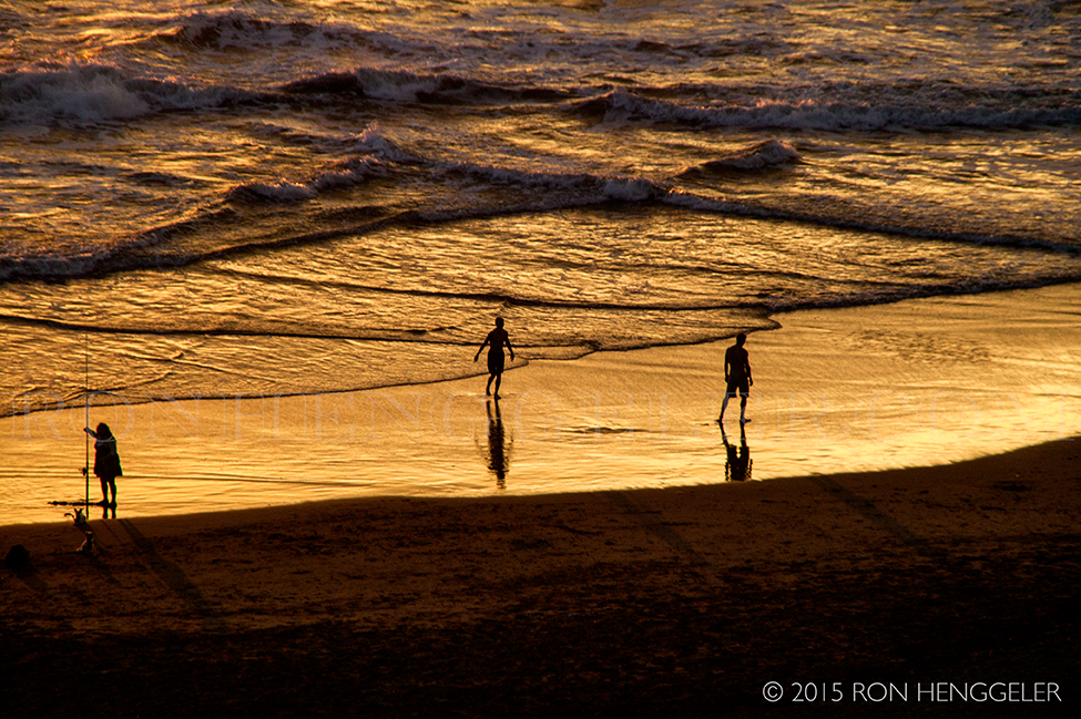
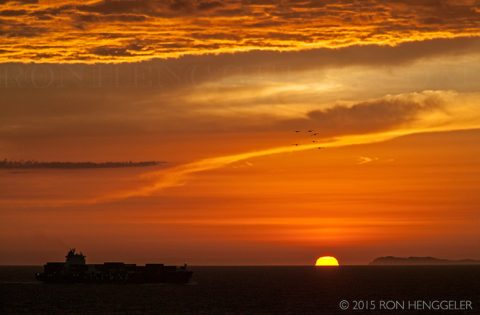
Sunset over the Pacific viewed from Ocean Beach in San Francisco
|
|
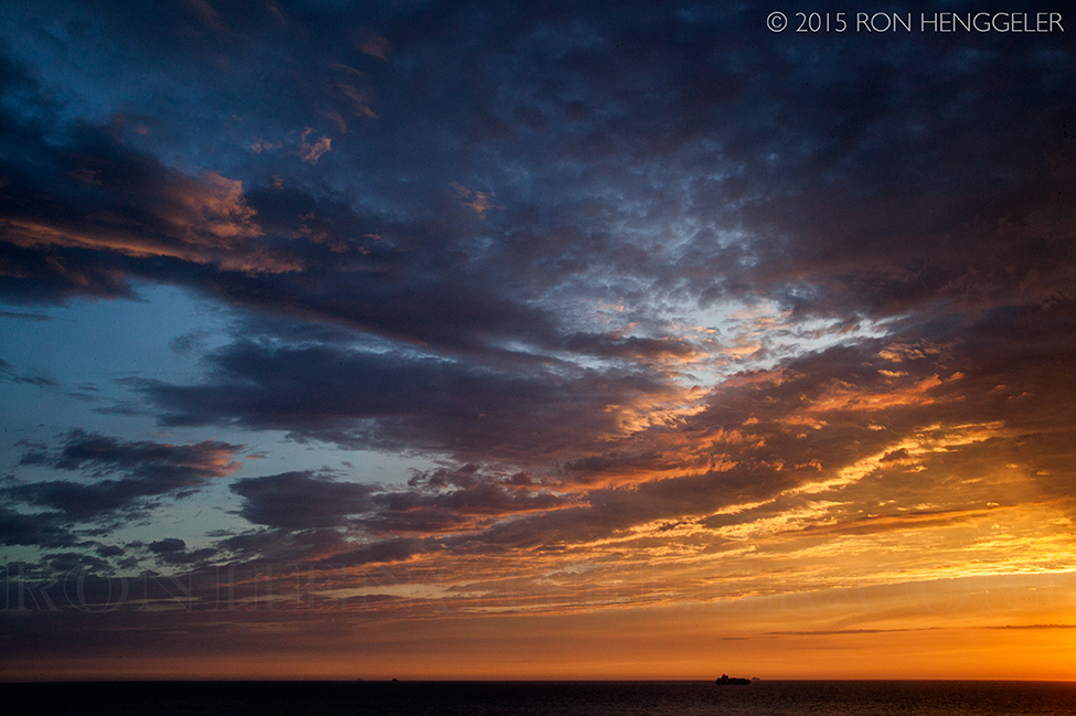
Sunset's sky over the Pacific viewed from Ocean Beach in San Francisco
|
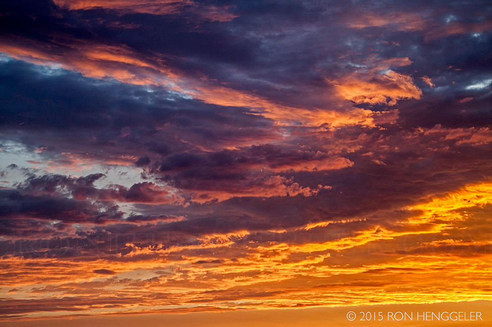
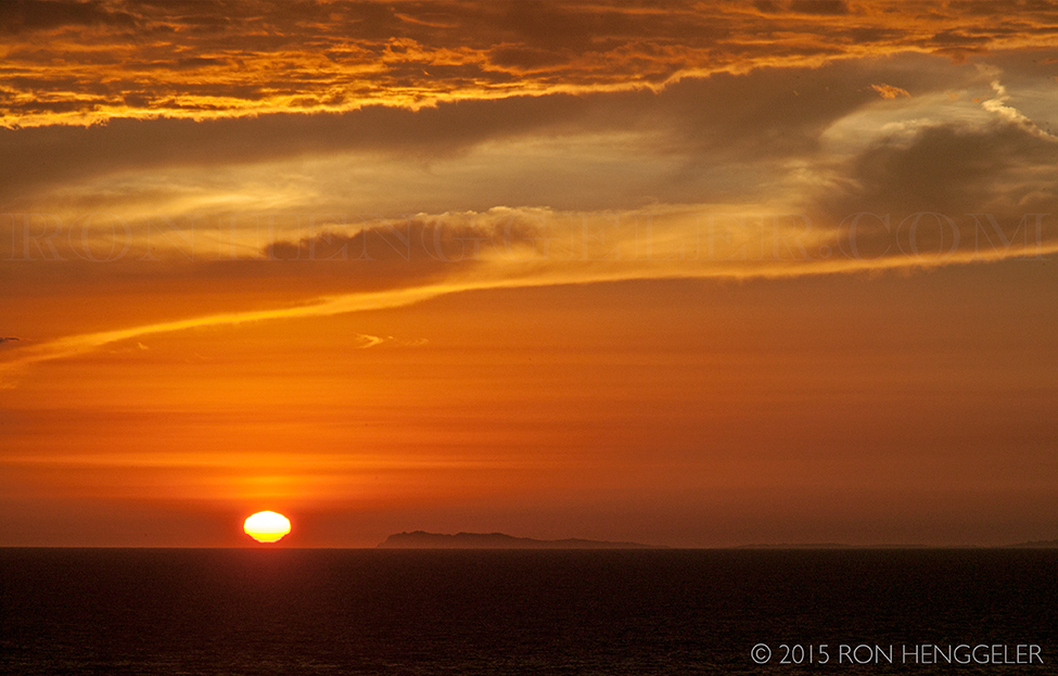
Sunset's sky over the Pacific viewed from Ocean Beach in San Francisco
|
Sunset's sky over the Pacific viewed from Ocean Beach in San Francisco
|
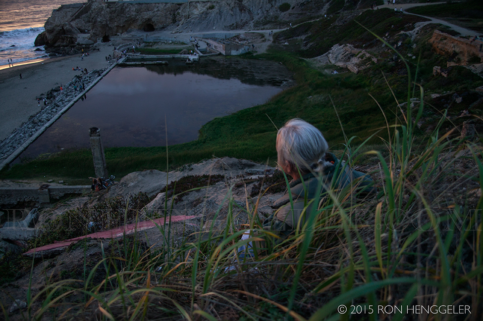
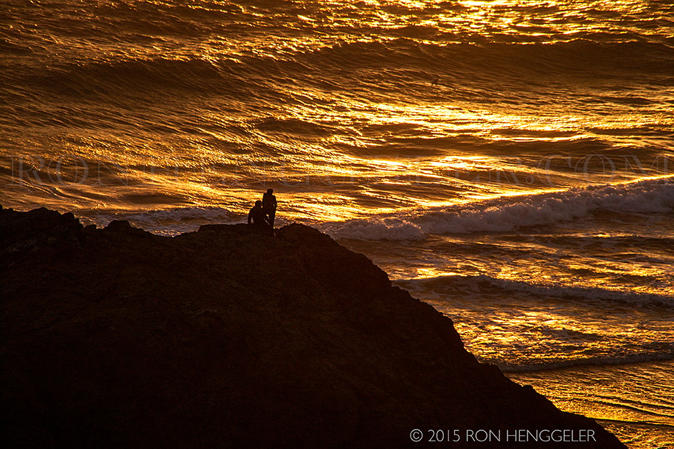
At sundown, David sitting on the hillside overlooking the Sutro Baths
|
Muir Beach is located three miles west of Muir Woods along the coastline on Highway 1. Muir Beach is a quiet cove, beach and lagoon favored by locals.
|
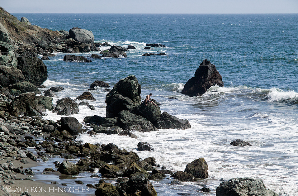
Muir Beach
|
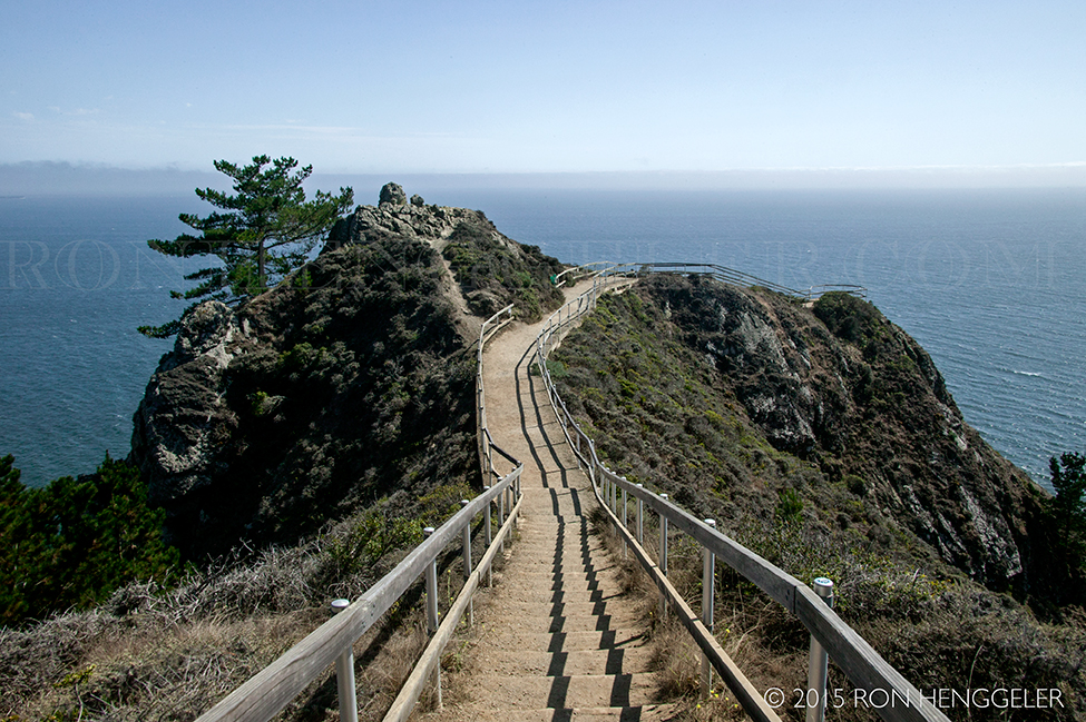
Muir Beach Overlook
|
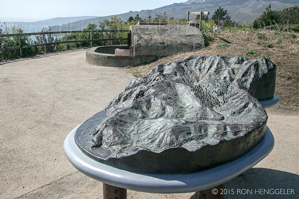
Muir Beach Overlook
In the foreground is bronze cast topographical map of the area including Muir Beach, Muir Woods, and Mt Tamalpais.
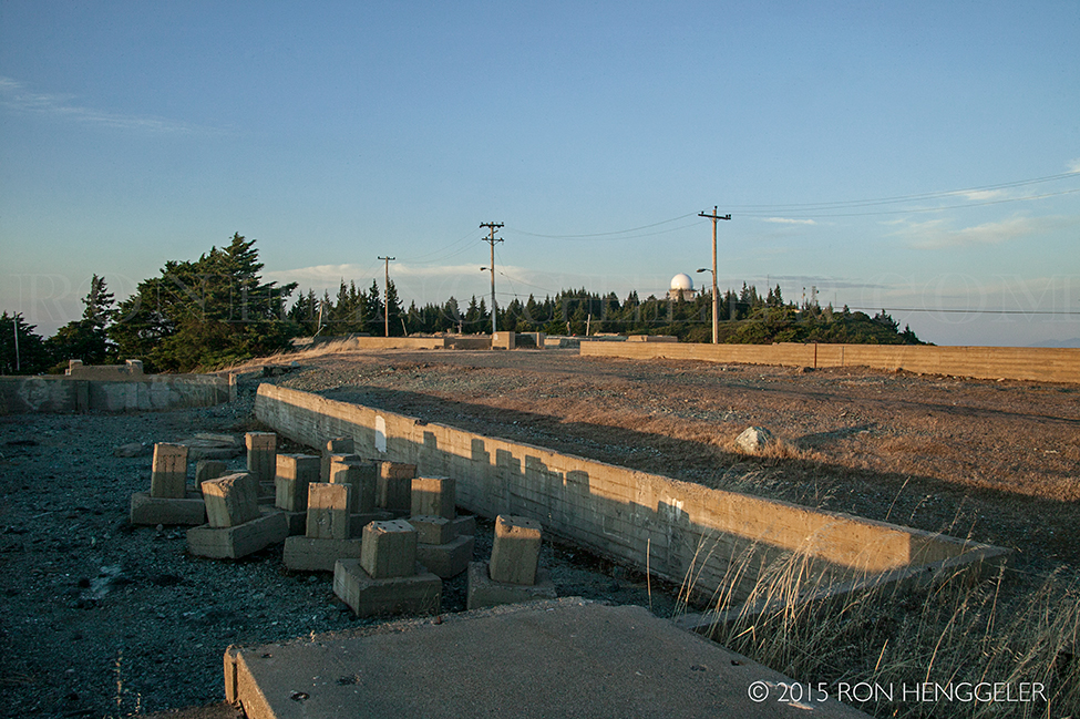
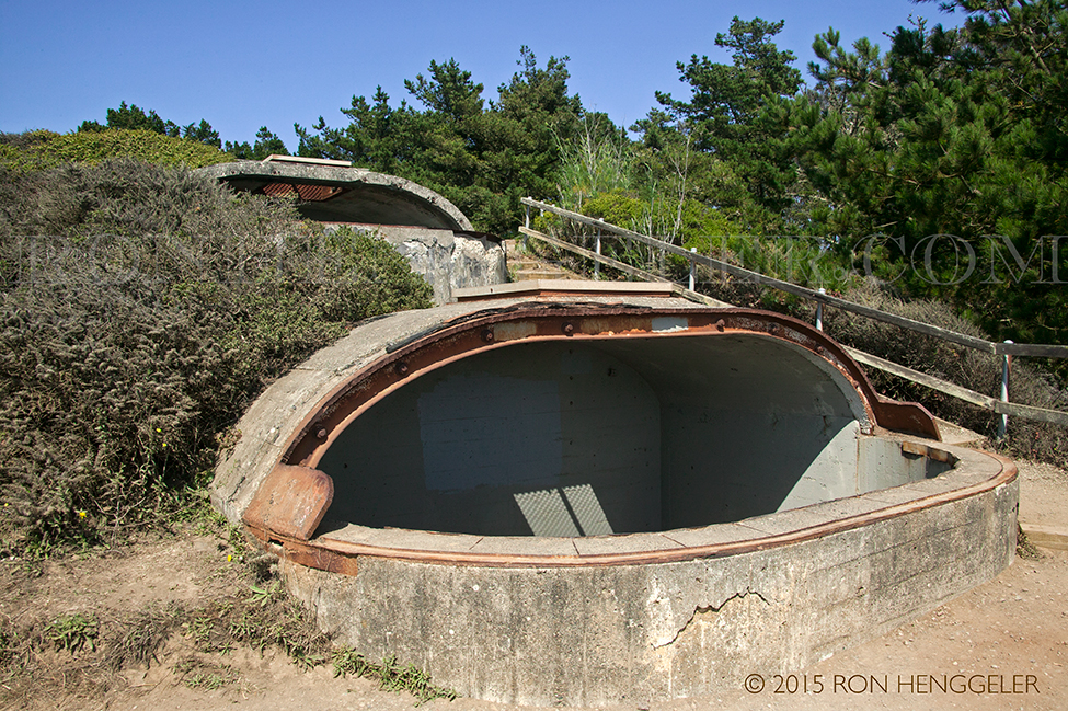
In the background is a World War II-era coastal installation
|
Muir Beach Overlook
|
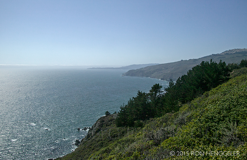
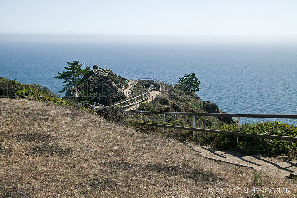
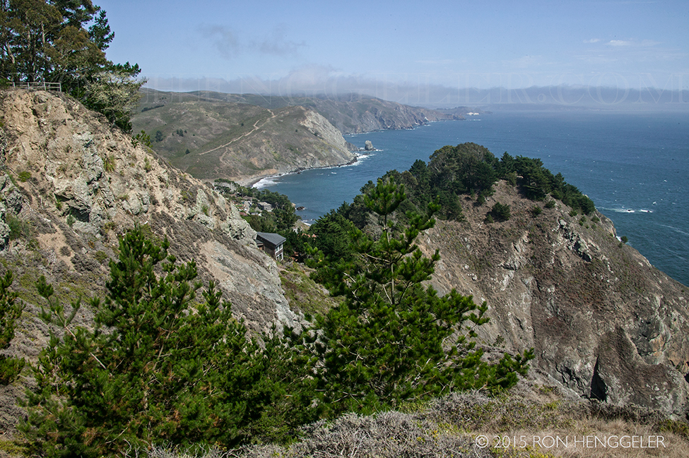
Looking north from the Muir Beach Overlook
A sign at the Muir Beach Overlook reads:
The grand sweep of the continent's edge--from the top of Mt Tamalpais to this bluff above the sea and out to the Farallon Islands--is a seamless span of interdependent plant and animal communities. Habitats converge, species from one habitat feed upon species from another. Dry land gives way to ocean, but the web of life is rich in complexity, crossing harsh boundaries.
|
At the Muir Beach Overlook
A sign reads:
Early in World War II, the United States was reeling from Japan's attack on Pearl Harbor and moved to augment the defense of San Francisco Bay from enemy ships. Base end "fire control" stations proliferated along the coast during those fearful times. Built to house soldiers on the lookout for enemy ships, and equipped with a very powerful spotting scope, they could relay ship coordinates to a central communications and plotting center, so powerful guns in nearby batteries could take accurate aim at their targets.
Here you can investigate four historic base end stations, nicknamed "gopher holes" by the soldiers. Two of them served gun batteries in the Marin Headlands. One served Fort Miley south of Ocean Beach in San Francisco, and the fourth was assigned to a minefield, which paralleled the shipping channel alone the Marin shore.
|
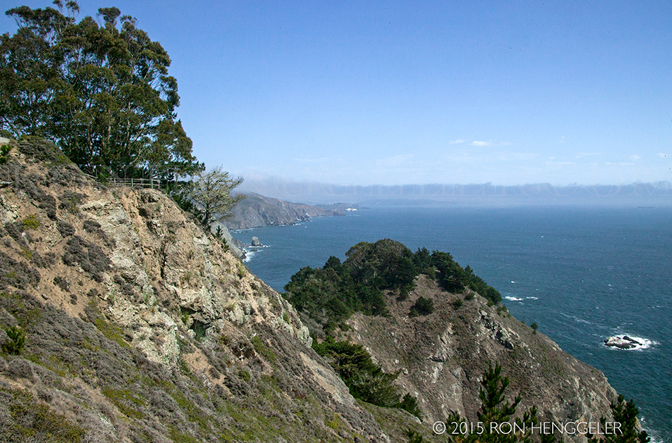
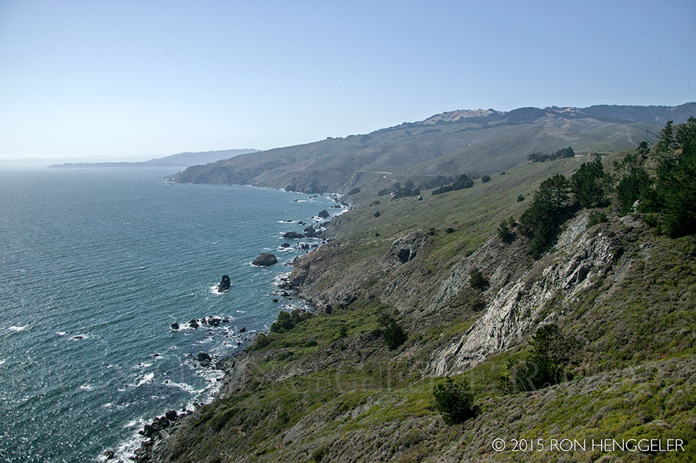
Looking south from the Muir Beach Overlook
A sign reads:
While the grizzly bears that once roamed this landscape are gone, most of what you see looks as it did 10,000 years ago. this area is wonderfully preserved. Coyote brush and other vegetation provide cover and food to bobcats, monarch butterflies, and other mammals, reptiles, birds, and insects. The tide pools at water's edge teem with marine plants and animals, including migrating whales.
|
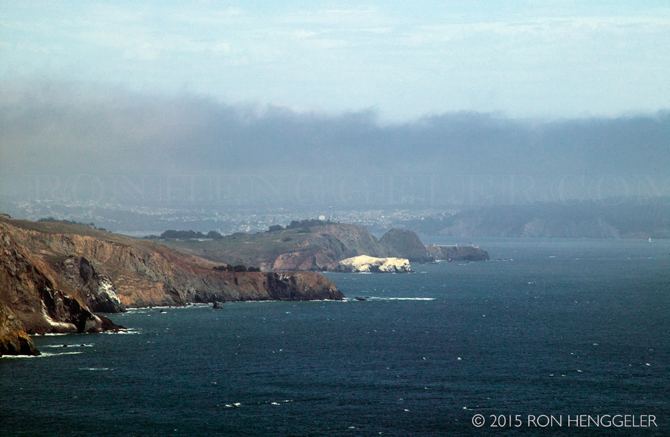
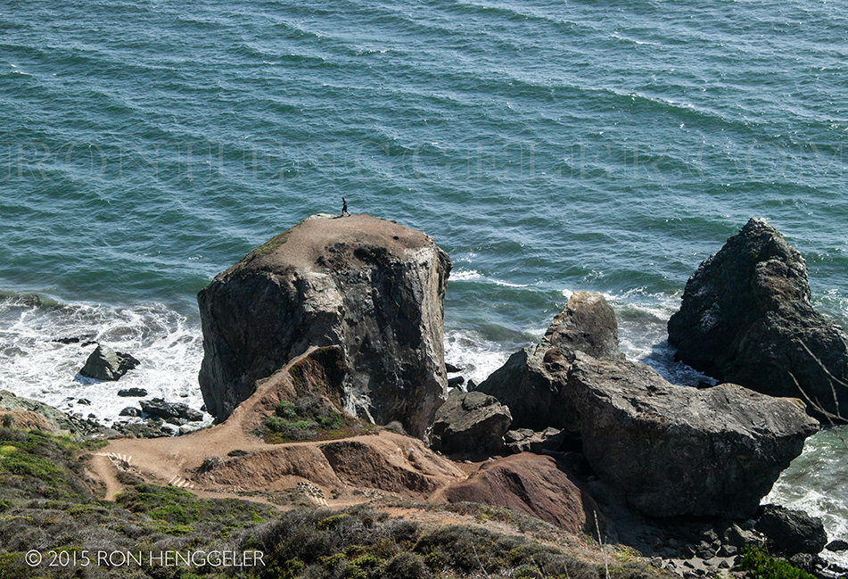
Looking south from the Muir Beach Overlook
The white feature in the center of the photo is Bird Rock at Rodeo Beach in the Marin Headlands. San Francisco faintly appears in the far distance.
|
The Muir Beach Overlook on Highway 1
|
Looking south from the Muir Beach Overlook
|
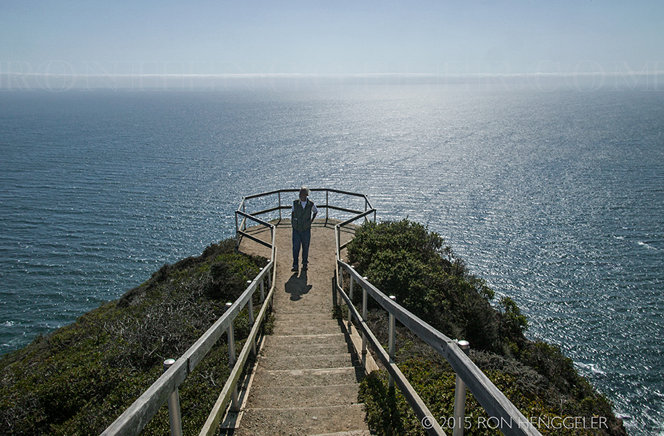
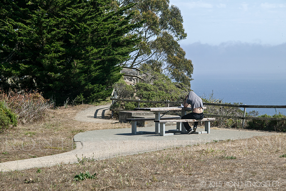
David at the Muir Beach Overlook
|
Looking north along the coast from the Muir Beach Overlook
|
Looking north along the coast from the Muir Beach Overlook
|
|
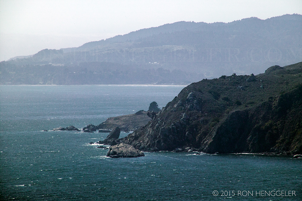
A massive outcropping of rock on the coast along Highway 1 near Stinson Beach
|
Looking on to Stinson Beach from Highway 1
|
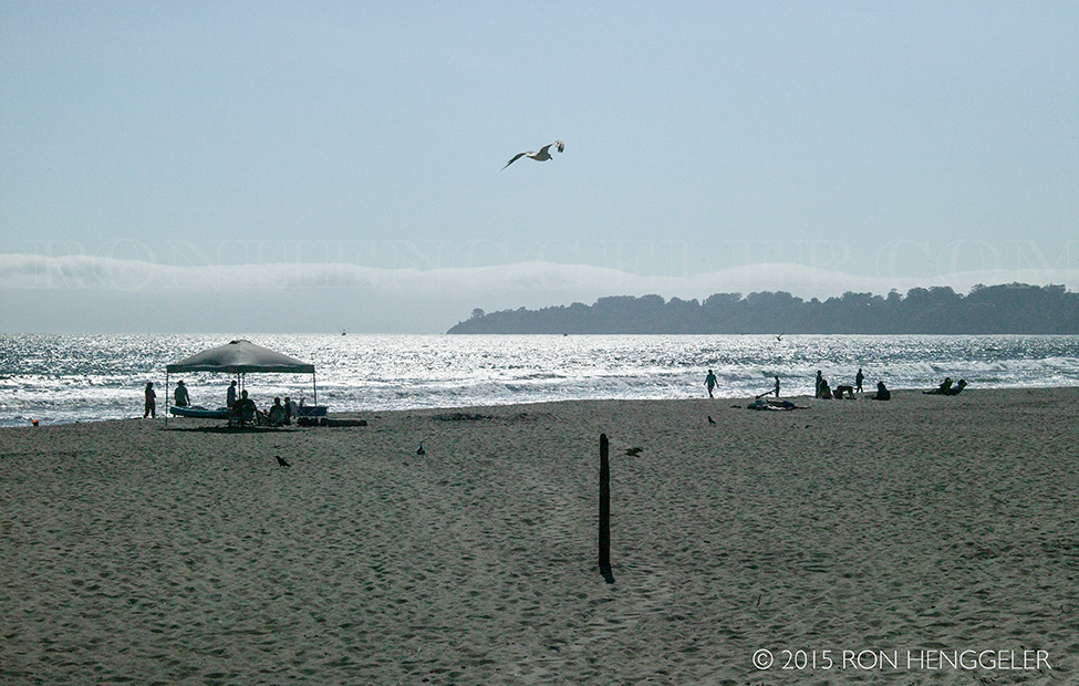
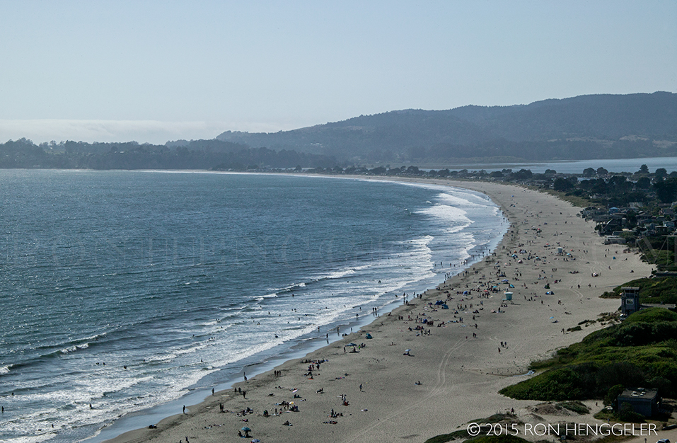
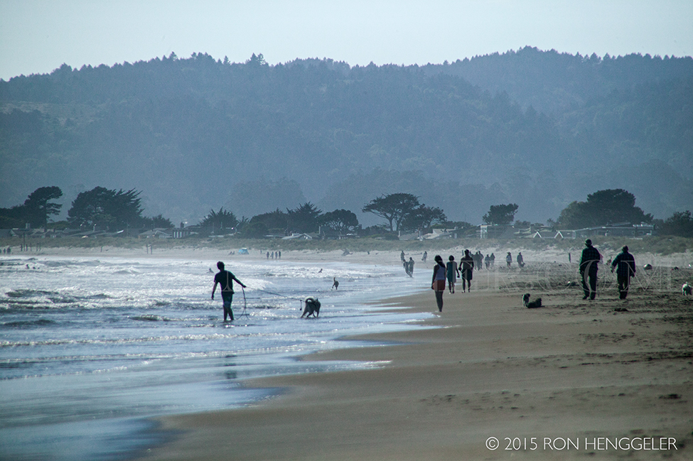
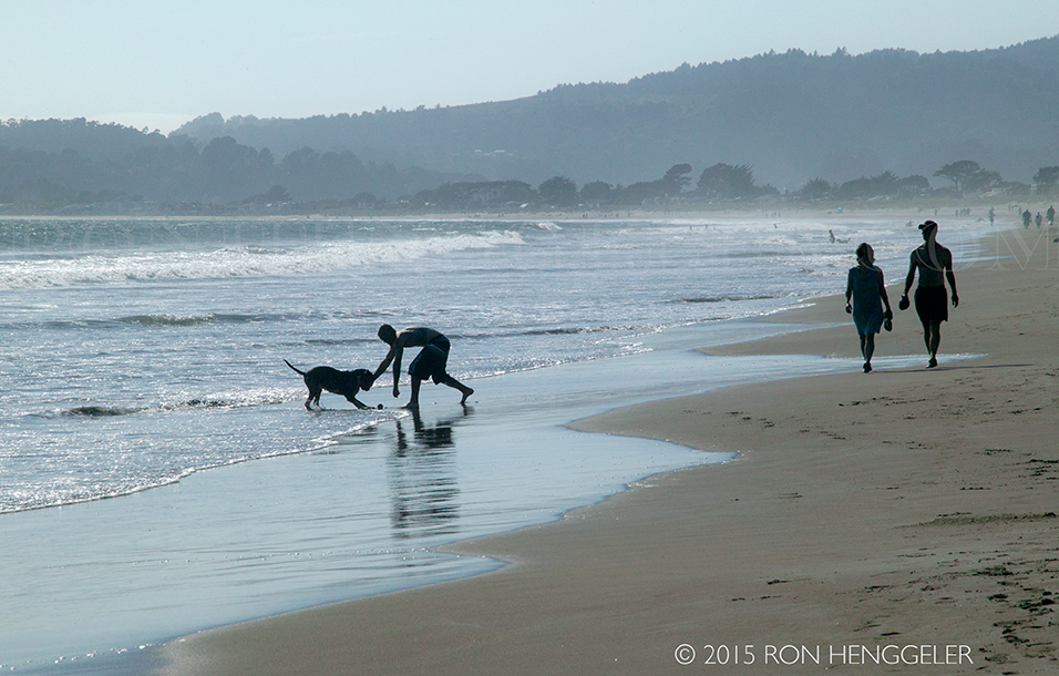
Stinson Beach
Stinson Beach is a place to walk for miles on white sand, take a dip, have a barbecue, jog, or play games. Visitors can even borrow volleyball nets and balls from the main lifeguard tower in exchange for a driver’s license. Lifeguards are generally on duty from Memorial Day to Labor Day.
|
Early in the 19th century the area was accessible only by sailing schooner from San Francisco, by horseback to San Rafael, or on foot over the Dipsea Trail. In 1870, the first dirt road along the coast from Sausalito was completed.
Stinson’s white sand and oceanfront make it one of the best swimming beaches in northern California—not to mention a favorite surfing, picnicking, and volleyball spot. The best times of year for surfing are winter and spring. For windsurfers, the prevailing northwesterly winds blow best in the afternoon. The summer surf is most suitable for rafters and body-boarders.
|
The real birth of the community along the beach was in 1906 when the earthquake brought refugees from San Francisco who built the first hotel and stores and the first Stinson subdivision was accepted by the County. In 1916, with the opening of the first post office, the name was changed to Stinson Beach, in honor of the largest landowners.
|
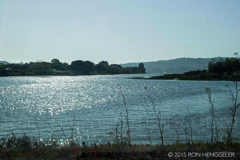
A view of the Bolinas Lagoon along Shoreline Highway or Highway 1 near Stinson Beach
|
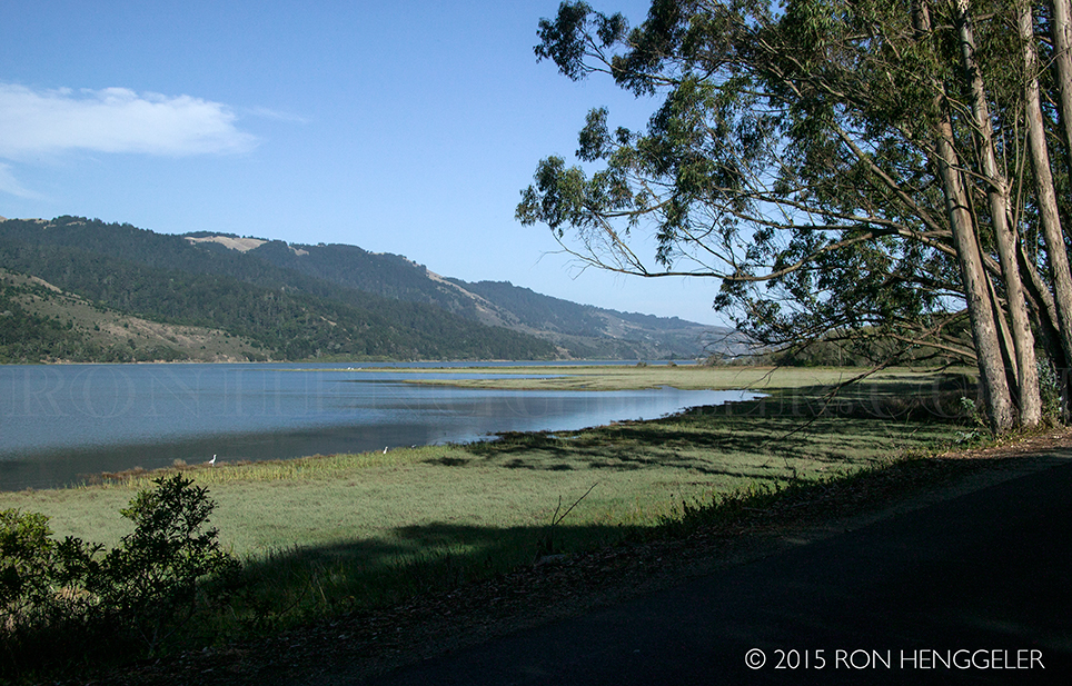
A view of the Bolinas Lagoon from on the Olema Bolinas Road
|
A view on the Olema Bolinas Road while driving to Bolinas
|

A view of crop irrigation on the Olema Bolinas Road while driving to Bolinas
|
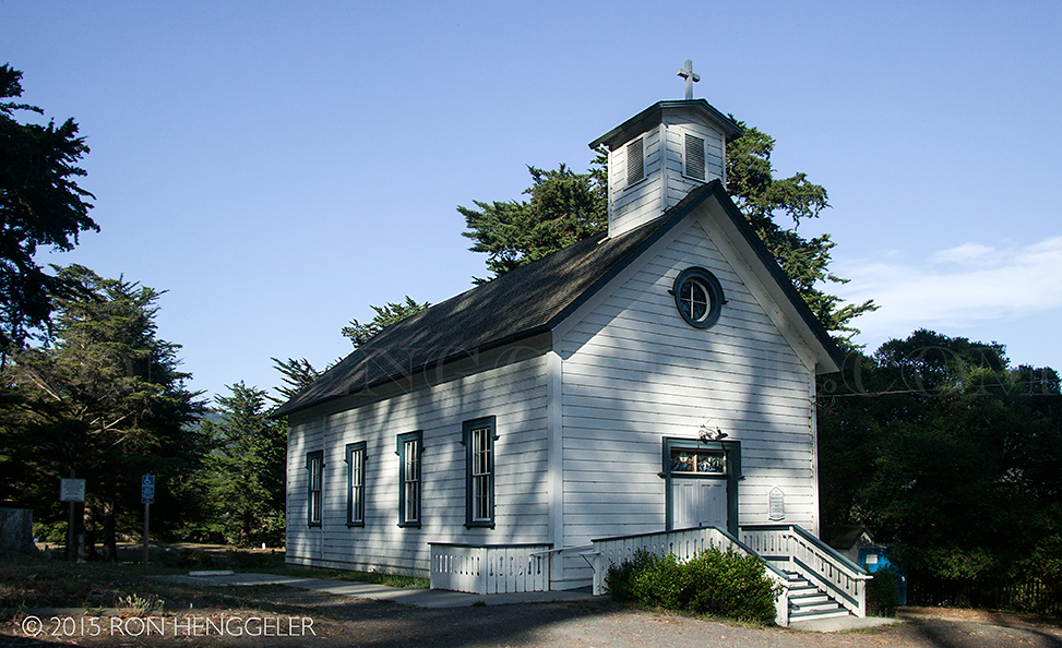
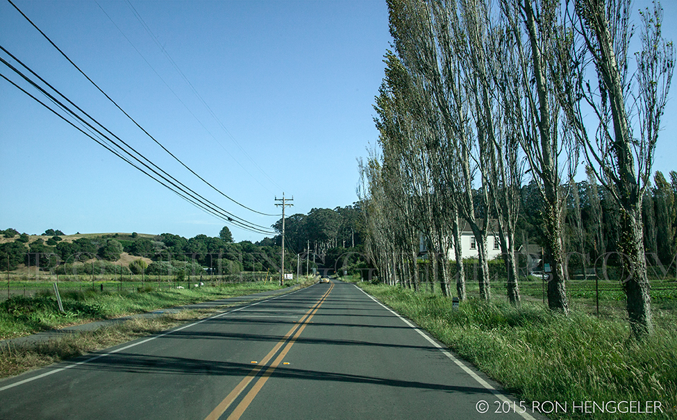
St Mary Magdalen Catholic Church in Bolinas
built in 1878
(the same year that Eadweard Muybridge photographed the famous 360º panorama of San Francisco from the top of Mark Hopkin's mansion on Nob Hill in San Francisco)
|
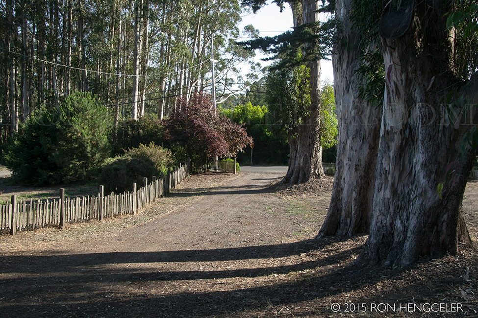
Entrance to the yard and cemetery surrounding St Mary Magdalen Catholic Church in Bolinas
|
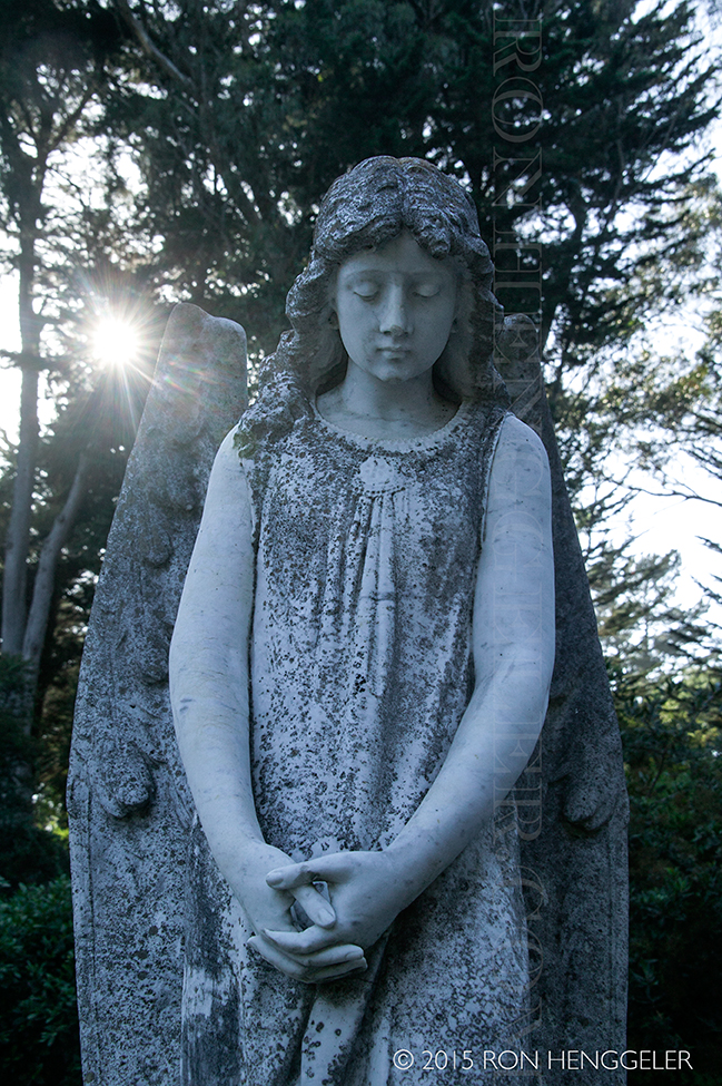
In the cemetery at St Mary Magdalen Catholic Church in Bolinas
|
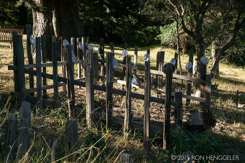
California Abalone shells decorate a gravesite in the cemetery at St Mary Magdalen Catholic Church in Bolinas
|
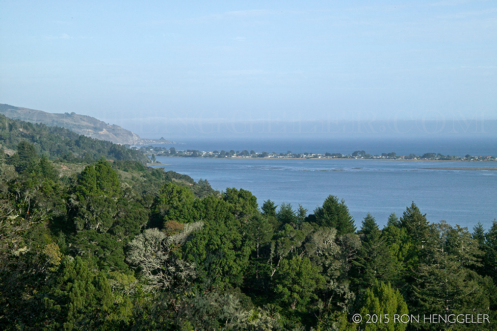
A view of the Bolinas Lagoon as seen from the Fairfax Bolinas Road
|
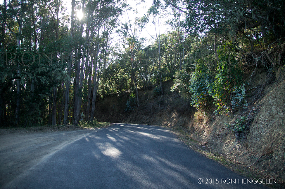
Dappled sunlight on Fairfax Bolinas Road
|
A view of the Bolinas Lagoon as seen from the Fairfax Bolinas Road
|
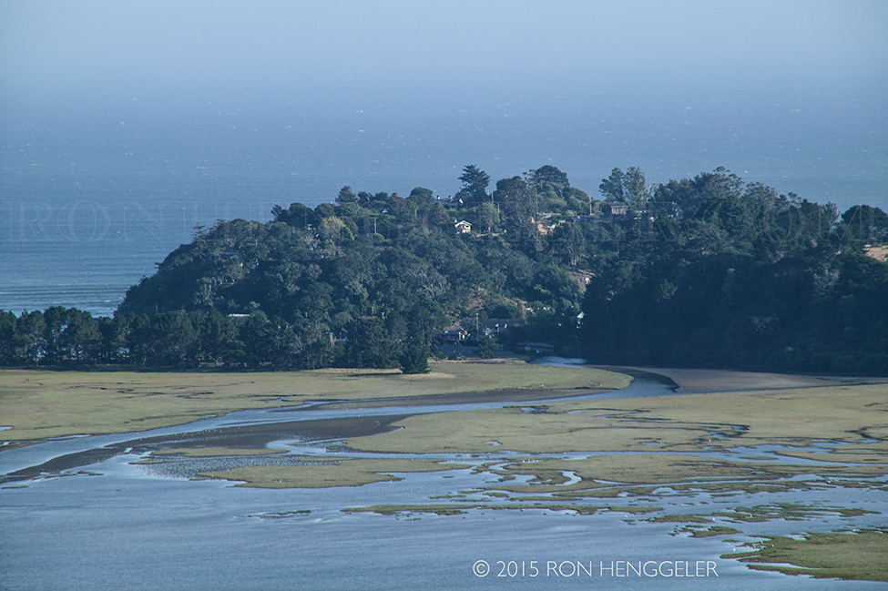
A view of the the town of Bolinas as seen with a 300mm lens from the Fairfax Bolinas Road
|
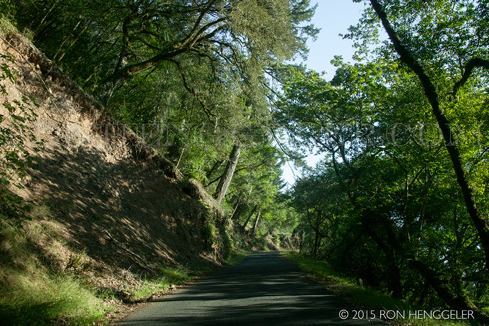
Dappled sunlight on Fairfax Bolinas Road
|
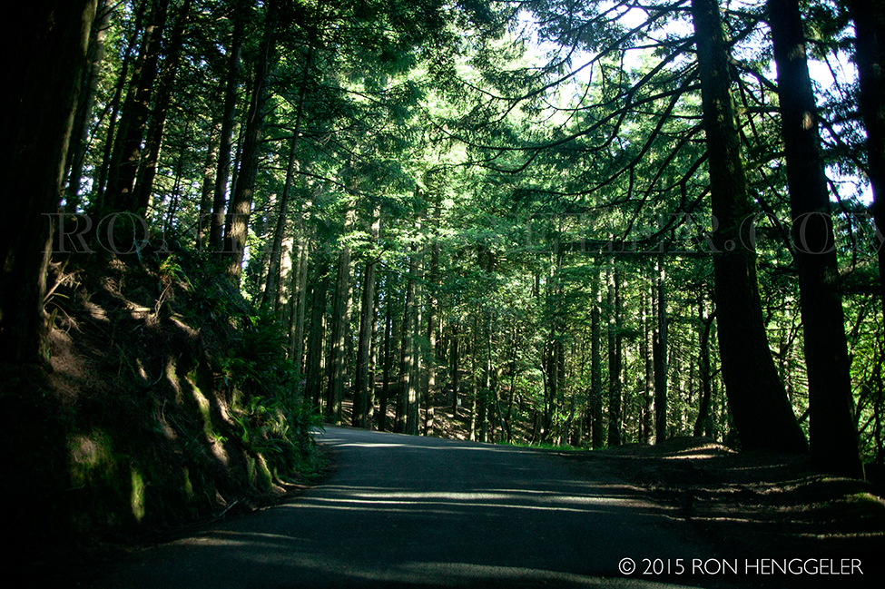
Dappled sunlight at the junction where the Fairfax Bolinas Road meets the West Ridgecrest Blvd
|
Looking south along the West Ridgecrest Blvd
|
|
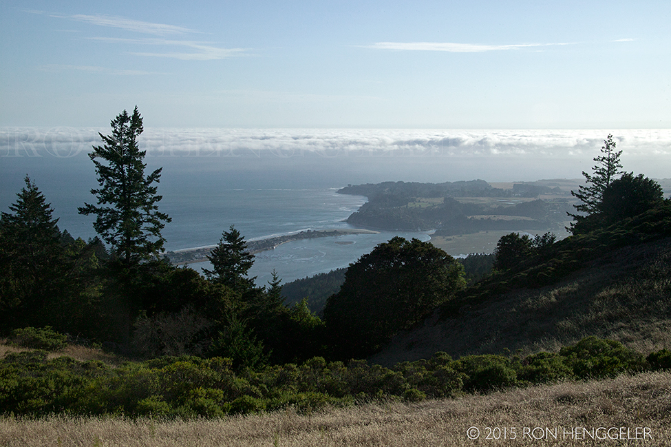
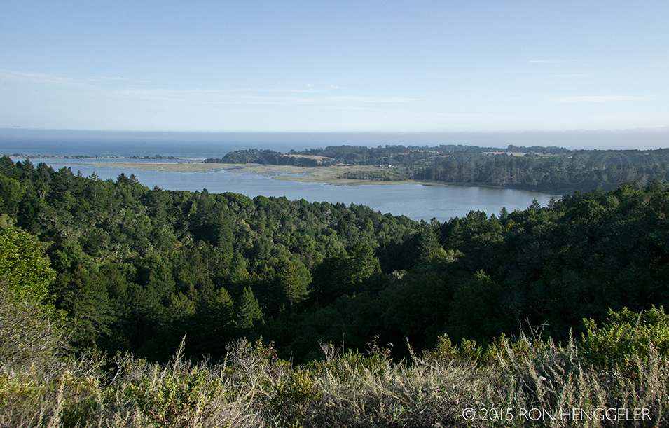
Stinson Beach and Bolinas as seen from the West Ridgecrest Blvd
|
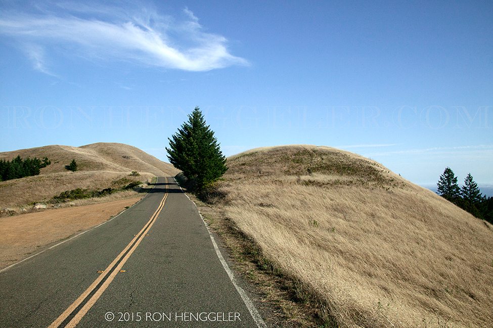
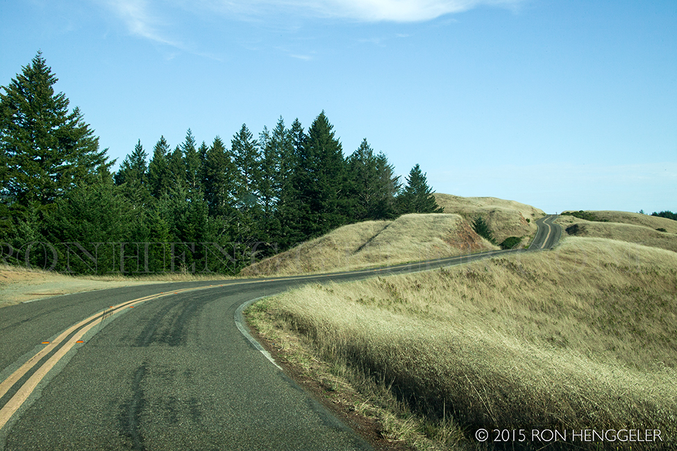
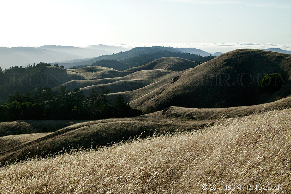
A view looking south on West Ridgecrest Blvd
|
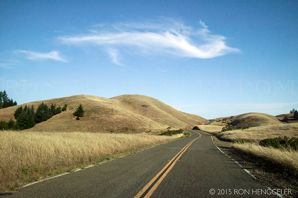
A view looking south on West Ridgecrest Blvd
(Car commercials are frequently filmed up here because of the rolling hills and spectacular panoramic coastal views)
|
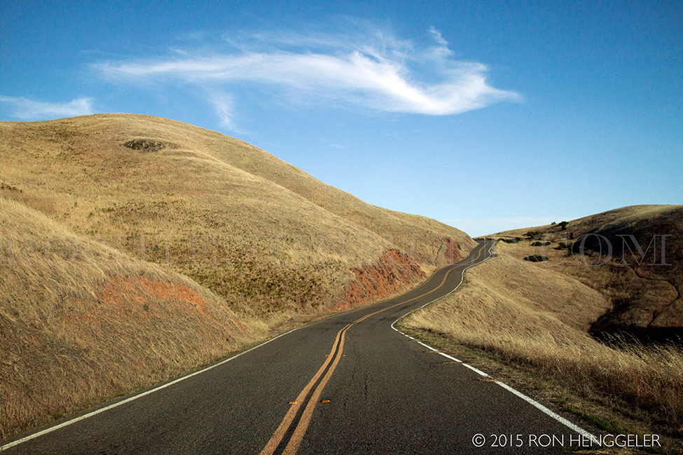
A view looking south on West Ridgecrest Blvd
|
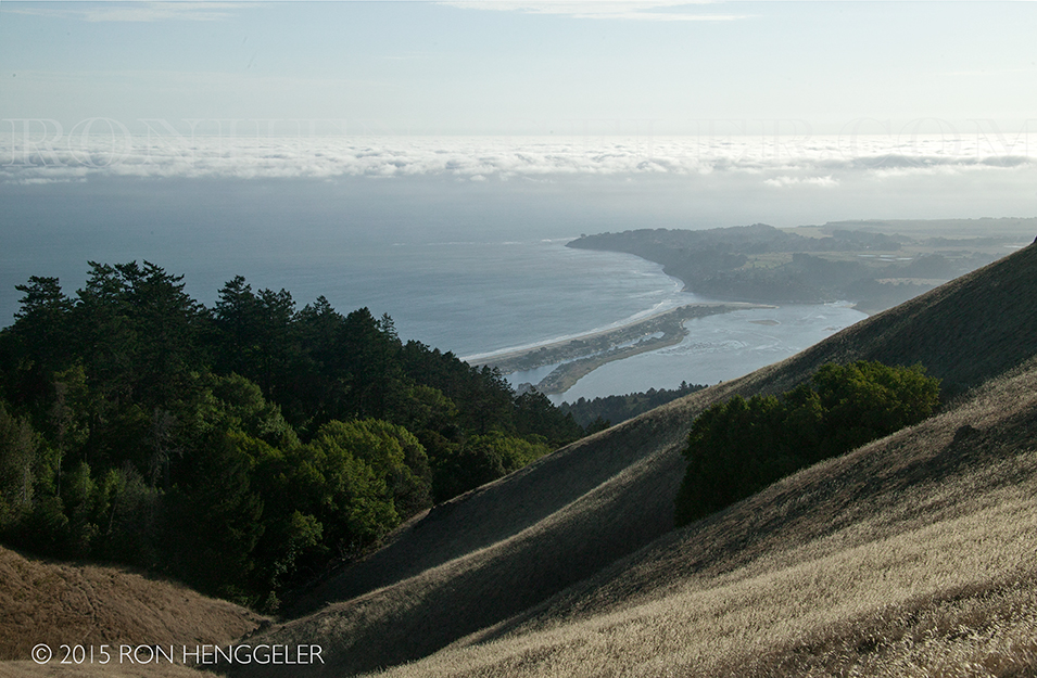
The Pacific Ocean, Stinson Beach and Bolinas as seen from the West Ridgecrest Blvd
|
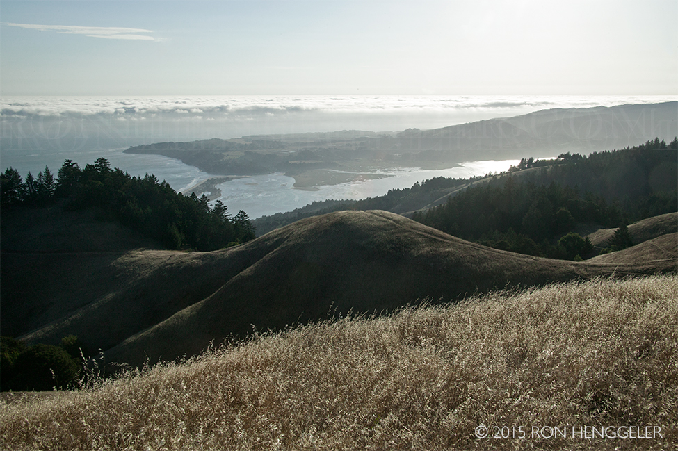
The Pacific Ocean, Stinson Beach and Bolinas as seen from the West Ridgecrest Blvd
|
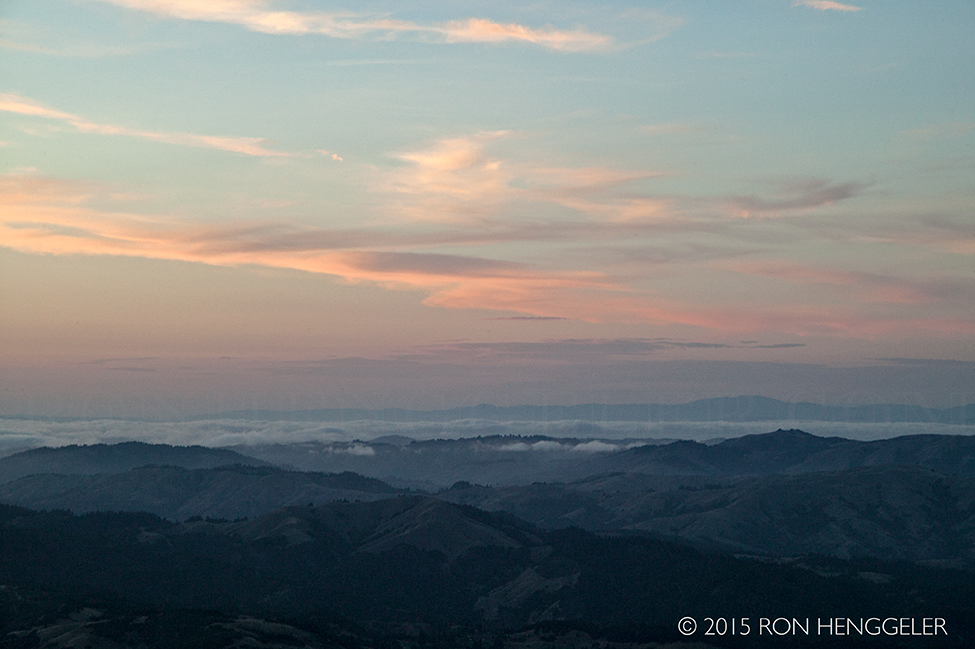
Looking north to the rolling hills and Olema Valley of Marin County as seen from the West Ridgecrest Blvd
|
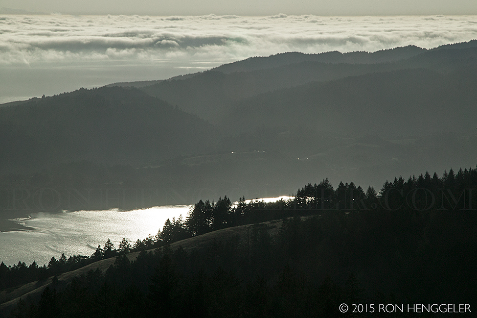
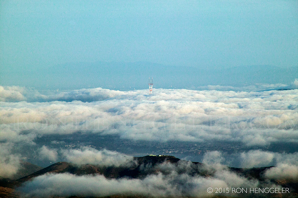
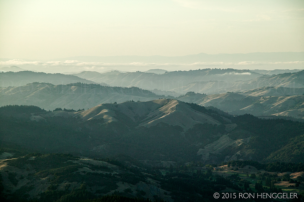
The Mt Tamalpais Watershed and Alpine Lake as seen with a 300mm lens from the abandoned Nike Missile Site on Mt Tamalpais
|
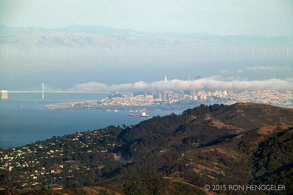
San Francisco as seen with a 300mm lens from the abandoned Nike Missile Site on Mt Tamalpais
|
The Sutro Tower in San Francisco rising out of the marine layer of fog, as seen with a 300mm lens from the abandoned Nike Missile Site on Mt Tamalpais
|
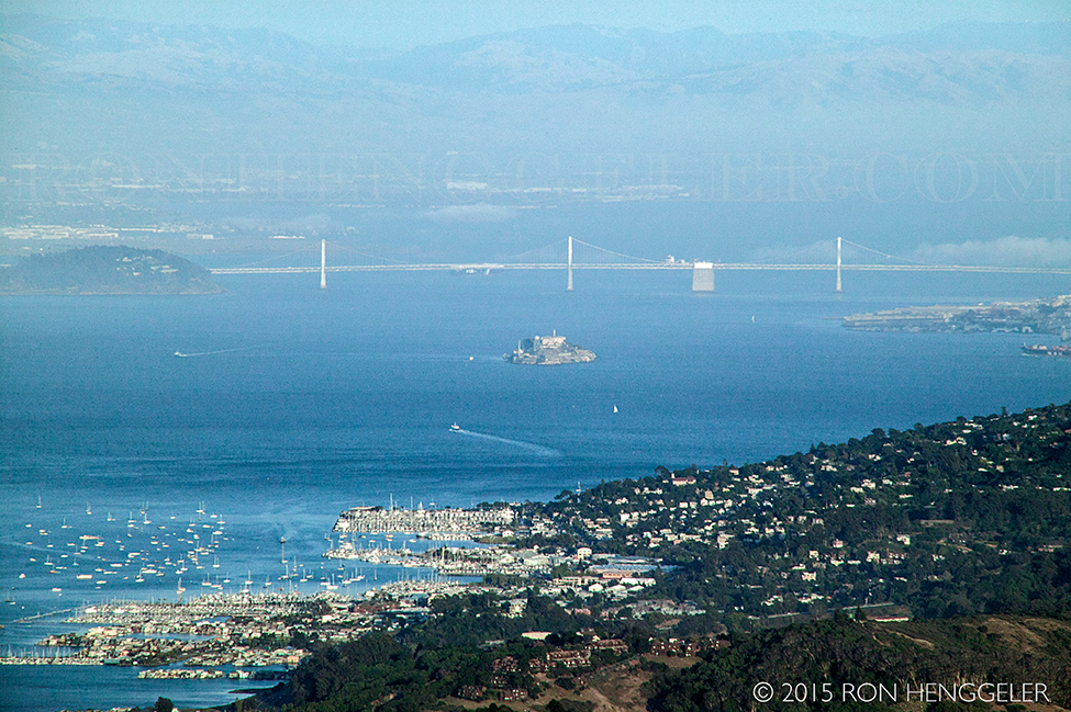
Alcatraz, Sausalito, and the Bay Bridge as seen with a 300mm lens from the abandoned Nike Missile Site on Mt Tamalpais
|
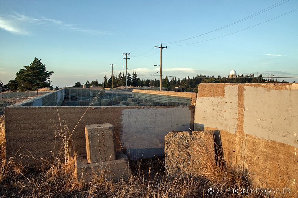
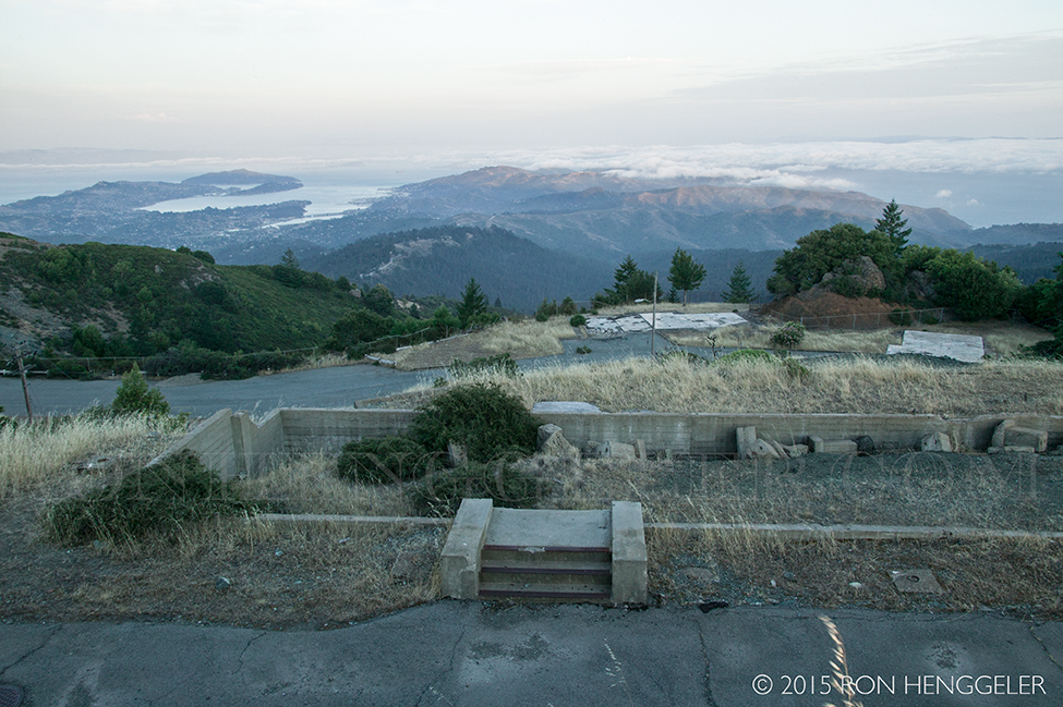
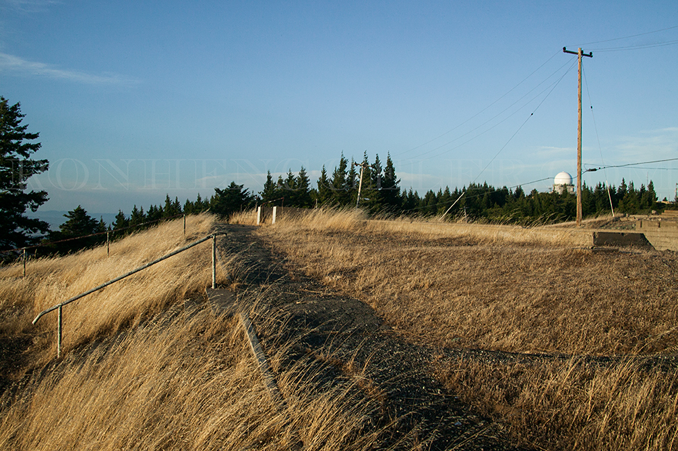
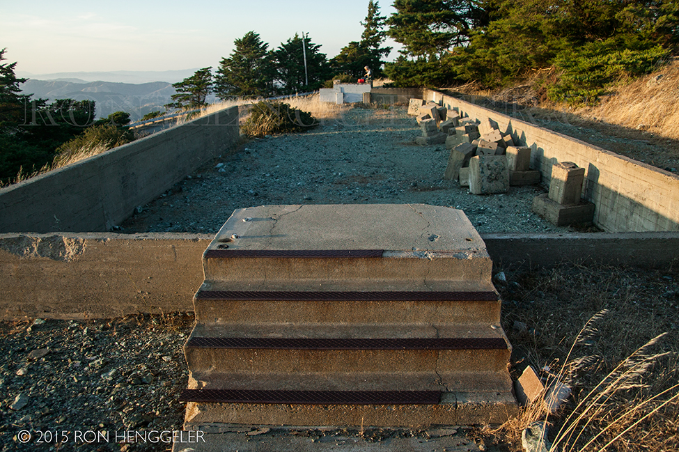
The abandoned Nike Missile Site on Mt Tamalpais
To learn more about this Cold War-era mountaintop installation of nuclear tipped missiles in the San francisco Bay Area, watch this short but very interesting video.
http://invisiblepeak.com/film/
|
Volunteer fire lookout Gary Yost spent more than a year shooting, writing and editing the "The Invisible Peak" of the mountain and the damage left behind after the government decommissioned the Nike base. “The Invisible Peak,” is narrated by Marin county resident and actor Peter Coyote and includes interviews with former radar airplane spotters. They tell how they were ready 24 hours a day to release short range nuclear tipped missiles from atop the mountain if Soviet bombers were discovered headed for the west coast.
The base was decommissioned in the early 1970s, when Soviet conventional bombers were replaced by intercontinental ballistic missiles. The military abandoned the mountain and left behind a mess that has remained for decades.
http://invisiblepeak.com/film/
|
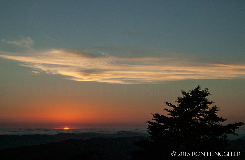
A view at dusk looking northwest from the abandoned Nike Missile Site on Mt Tamalpais
|
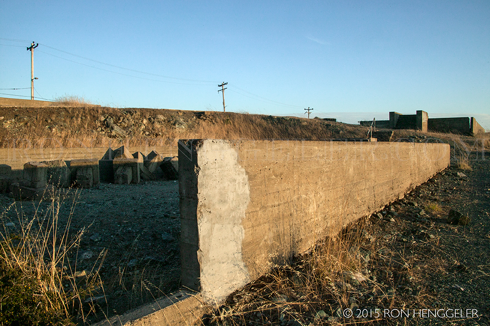
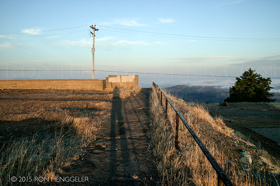
The abandoned Nike Missile Site on Mt Tamalpais
http://invisiblepeak.com/film/
|
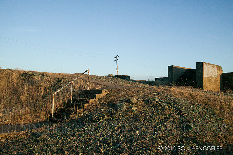
The abandoned Nike Missile Site on Mt Tamalpais
http://invisiblepeak.com/film/
|
The abandoned Nike Missile Site on Mt Tamalpais
http://invisiblepeak.com/film/
|
The abandoned Nike Missile Site on Mt Tamalpais
http://invisiblepeak.com/film/
|
|
|
|
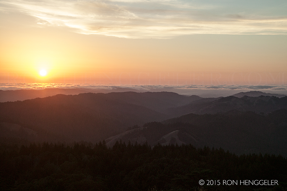
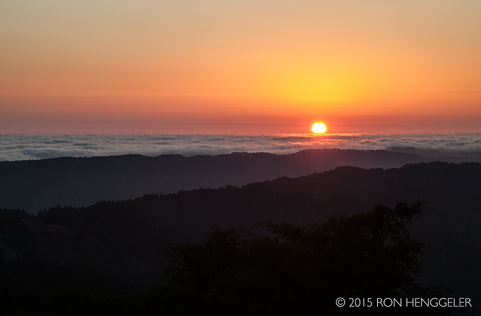
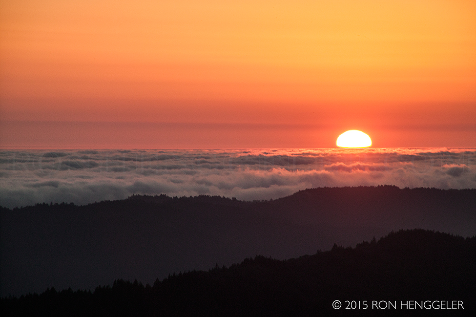
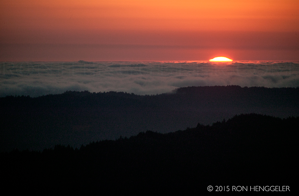
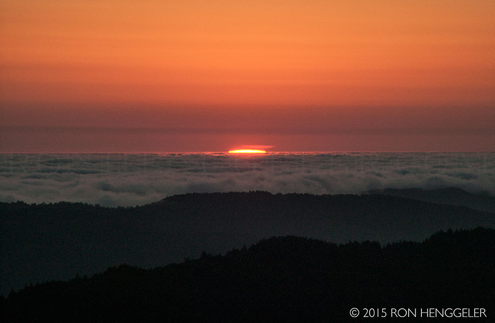
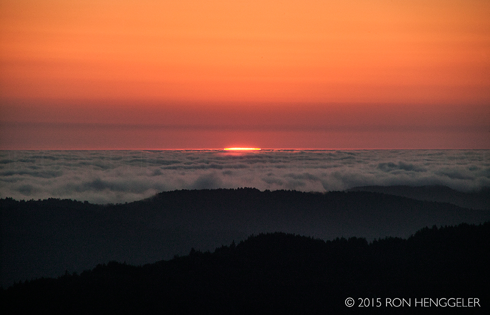
Sunset from the abandoned Nike Missile Site on Mt Tamalpais
|
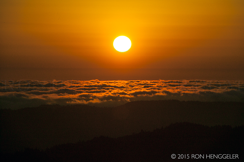
Sunset seen with a 300mm lens
from the abandoned Nike Missile Site on Mt Tamalpais
|
|
|
|
|
|
|
During the Cold War, Mount Tamalpais was altered to make way for nuclear missiles.
The climate of fear that supported construction of a Nike Missile base on top of the mountain is the subject of a short documentary called “The Invisible Peak.” Using special effects, it shows how the mountain’s west peak was leveled and a hundred acres bulldozed to make room for the military base.
Filmmaker Gary Yost said he produced the documentary to support efforts to clean up the old base and open the mountain’s most magnificent views to the million hikers and other visitors who come there to visit each year.
|