RON HENGGELER |
February 21, 2013
Hawk Hill in the Marin Headlands
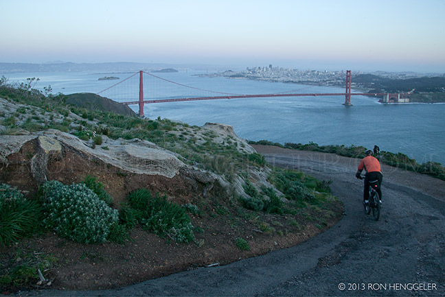
A view from Conzelman Road in the Marin Headlands, |
A snapshot view of San Francisco and the Golden Gate Bridge’s north tower |
A snapshot view of San Francisco through the cables of the Golden Gate Bridge |
John Freemont, a captain with the U.S. Corp of Topographical Engineers gave the Golden Gate its name in 1846. |
Completed in 1937, the Golden Gate Bridge is known around the world. |
The top of the Golden Gate Bridge’s north tower, and slightly left in the distance, |
The first Europeans to see the Golden Gate were Spanish soldiers who discovered it by accident while marching north from Mexico in 1769. They called it “La Boca” (the mouth) and “La Entrada” (the entrance). |
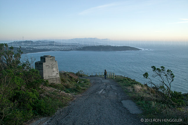
A view from the top of Hawk Hill in the Marin Headlands, |
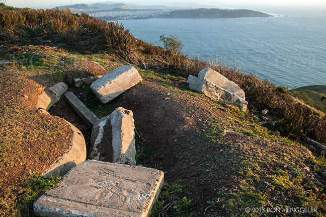
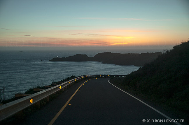
Point Bonita seen from the top of Hawk Hill in the Marin Headlands |
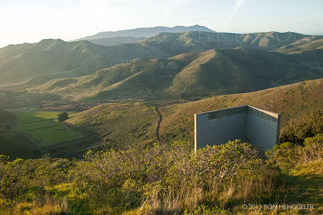
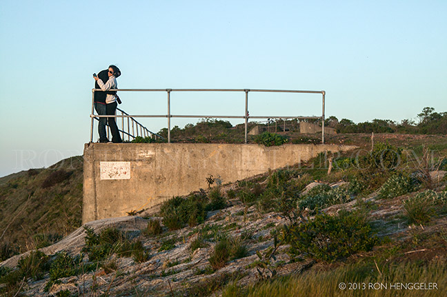
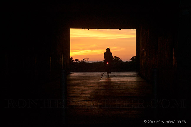
Battery Construction No. 129 on top of Hawk Hill in the Marin Headlands |
Detail of the interior of Battery Construction No. 129 on top of Hawk Hill in the Marin Headlands |
Detail of the interior of Battery Construction No. 129 on top of Hawk Hill in the Marin Headlands |
Though San Francisco’s harbor was still the most significant port on the west coast at the close of World War II, |
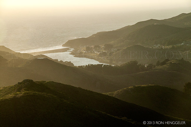
Rodeo Beach and Rodeo Lagoon as seen from the top of Hawk Hill in the Marin Headlands |
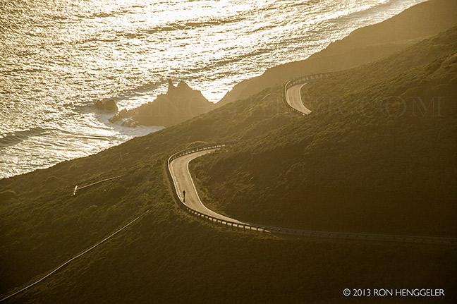
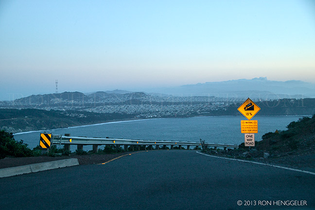
A view from Hawk Hill of the Conzelman Road on the way to Point Bonita |
A view from Hawk Hill of the Tennessee Valley and the far distant Mt Tamalpais |
The view of the Marin Headlands has undergone a noticeable transformation with removal of a thick grove of trees from atop Hawk Hill. Hawk Hill, which sits 900 feet above the Golden Gate, stood out even more because of the tall trees which stood atop it. Now it is barren, appearing again as it looked for most of its recorded history. |
It's a big change, a real dramatic change, it has opened up a 360-degree view from the hill that is pretty incredible on a clear day. |
The non-native Monterey pines, cypresses and tea trees were removed as part of "Project Headlands," an $8.7 million federal effort to improve access for motorists, bicyclists, pedestrians and public transit in the Marin Headlands. |
The National Park Service must "mitigate" for the impact of its roadwork, including finding ways to improve wildlife habitat. One step the agency took was cutting down the trees in order to plant lupine that will create mission blue butterfly habitat. |
Though some people were critical of the tree removal, federal officials pointed out that the forest was relatively new and did not exist before 1970 beyond a handful of trees. |
Once the trees had been removed, acres of ground-cover mesh made from coconut shells were put down to help in restoring the hill to more native plant species. Though the trees are down, the work is not done. Native plants that are grown in the Marin Headlands nursery and native grasses and shrub have been planted . Ferns and coyote brush are expected to fill in the area as well. A five-year vegetation and invasive species control plan will follow. |
It's not known exactly how the trees arrived. One theory is that they came with soil brought from nearby Kirby Cove to cover concrete bunkers built into the hillside by the military during World War II. Pines were planted in Kirby Cove in the early part of the 20th century and the soil may have had seeds in it. |
Detail of the interior of Battery Construction No. 129 on top of Hawk Hill in the Marin Headlands |
Point Bonita seen from the Conzelman Road in the Marin Headlands |
Newsletters Index: 2015, 2014, 2013, 2012, 2011, 2010, 2009, 2008, 2007, 2006
Photography Index | Graphics Index | History Index
Home | Gallery | About Me | Links | Contact
© 2015 All rights reserved
The images are not in the public domain. They are the sole property of the
artist and may not be reproduced on the Internet, sold, altered, enhanced,
modified by artificial, digital or computer imaging or in any other form
without the express written permission of the artist. Non-watermarked copies of photographs on this site can be purchased by contacting Ron.


