RON HENGGELER |
August 13, 2016
A visit to Rock City in Mount Diablo State Park
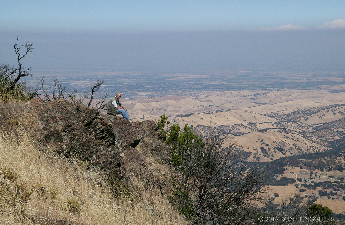
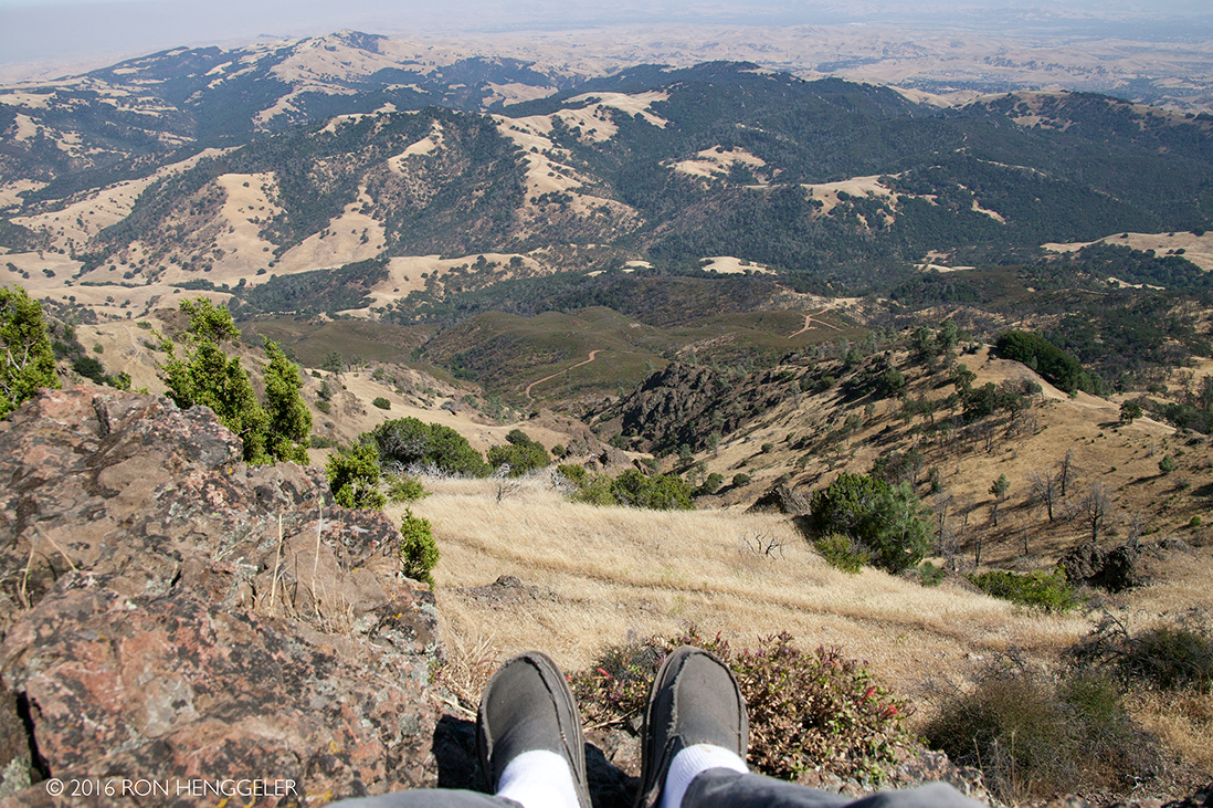
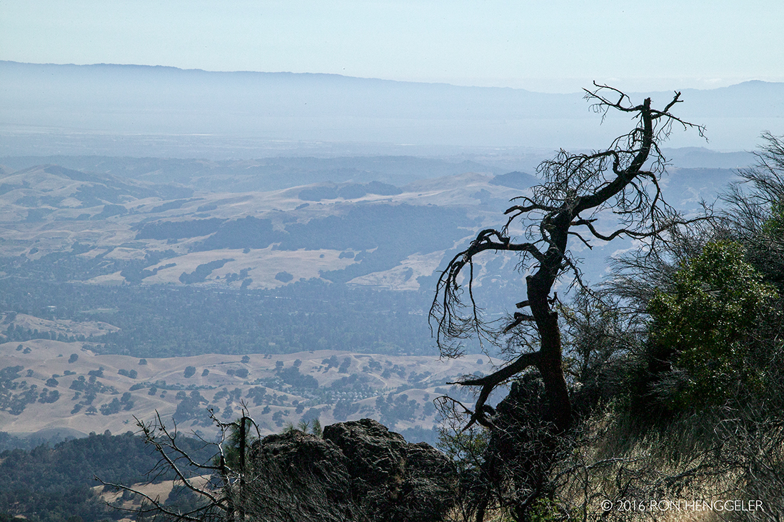
David and I recently spent an afternoon on Mount Diablo. The views from the summit were limited during this visit due to the hazy atmosphere caused by the smoke from wild fires burning in Big Sur and southern California. Seeing that we had no views to enjoy, we retreated down the mountain to Rock City, a well-known and favorite feature in Mount Diablo State Park.
165 million B.C. Mt Diablo began as volcanic rock beneath the surface of the Pacific Ocean that was scraped into a mass between the Pacific tectonic plate and the overlying sedimentary layers of the North American plate. As ice ages affected sea levels, sedimentation continued in shallow coastal seas. About four million years ago, the older, harder volcanic material from the sea floor forced its way up from between the two plates heaving the weaker sedimentary layers up an angle. Over time, younger rock above eroded and by 2 million B.C. the older rock we recognize as Diablo's peaks was exposed as low-lying hills. From: http://www.mdia.org/site/park-information/history-of-mdia |
Human History: ca. 2000 B.C. According to one tradition, at the Dawn of Time, Mt Diablo and Reed's Peak were surrounded by water. From these two islands the creator Coyote and his assistant Eagle-man made Indian people and the world. In a Plains Miwok creation account, Mol-luk (Condor man) lived on the north side of Mt Diablo. His wife, the rock on which he roosted, gave birth to Wek-wek (Prairie Falcon-man). With the help of his grandfather Coyote-man, Wek-wek created Indian people, providing them with "everything, everywhere so they can live". From: http://www.mdia.org/site/park-information/history-of-mdia |
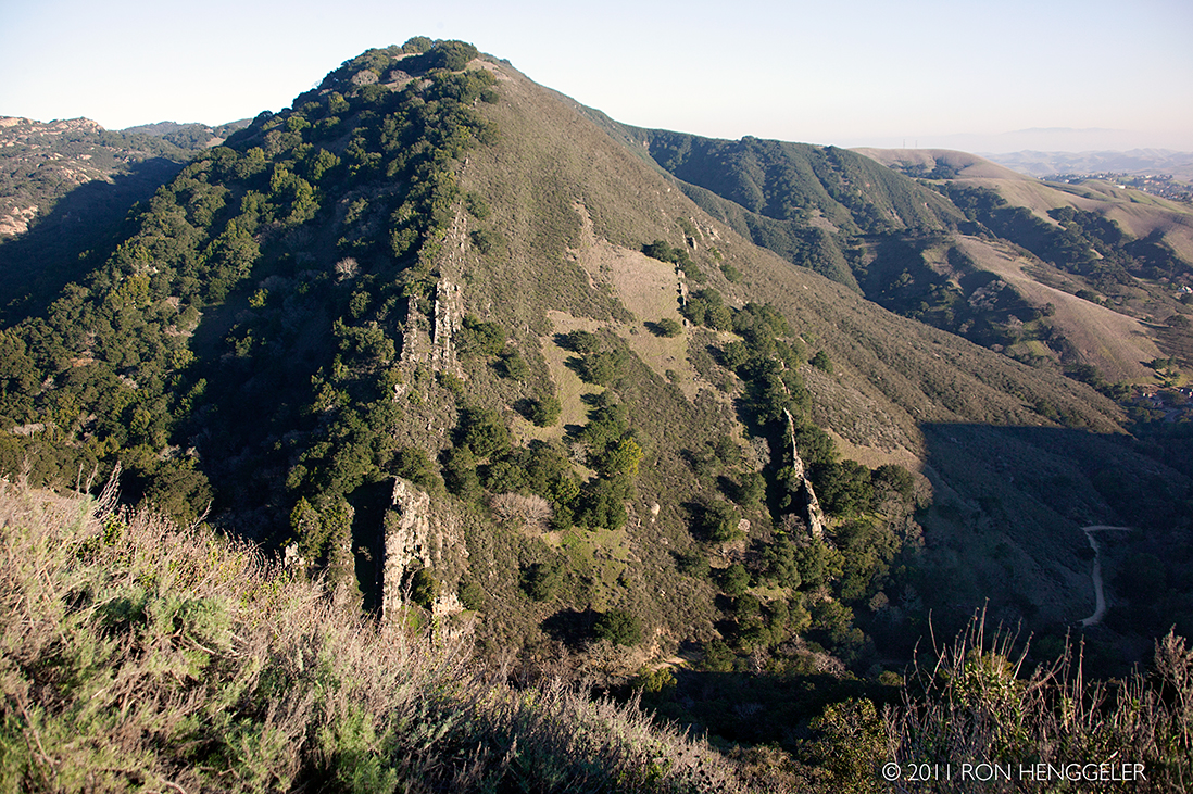
A view of the The Devil's Back as seen from the road near Rock City on Mount Diablo. |
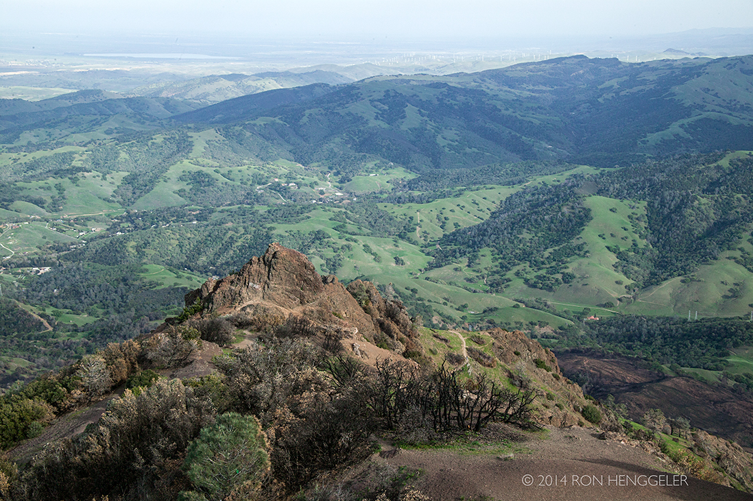
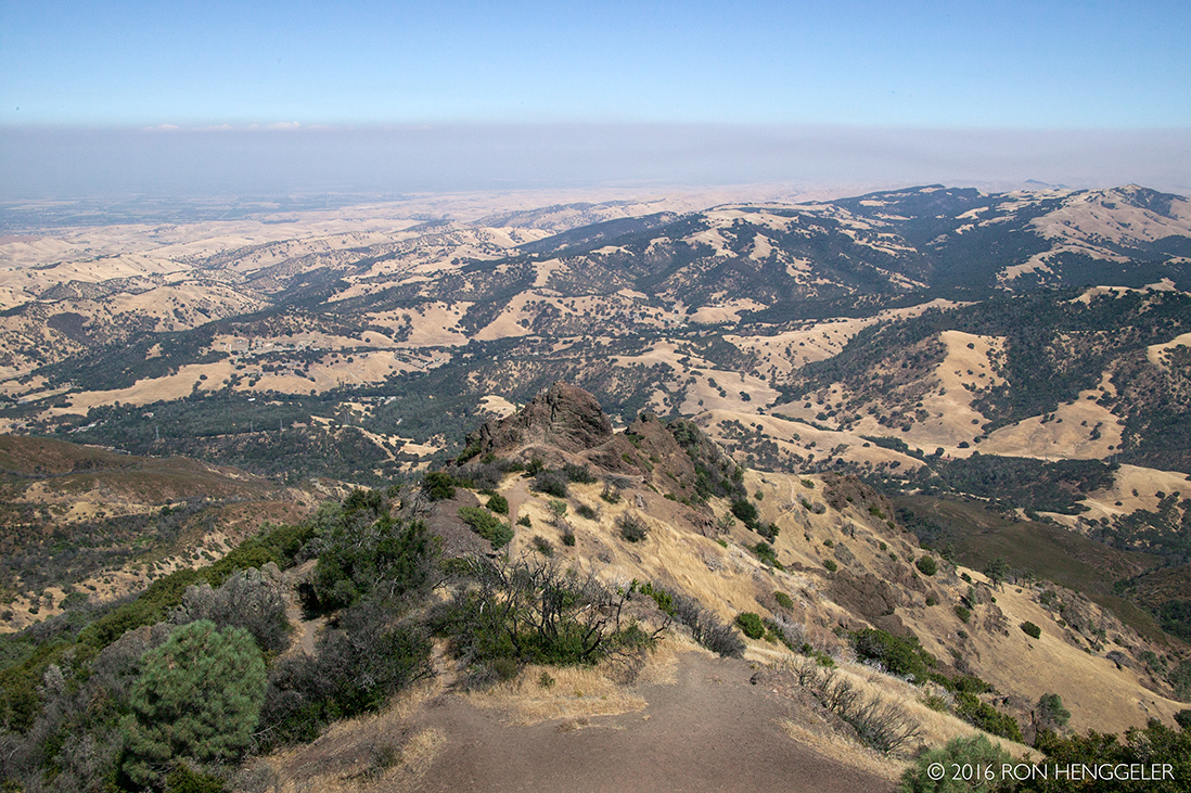
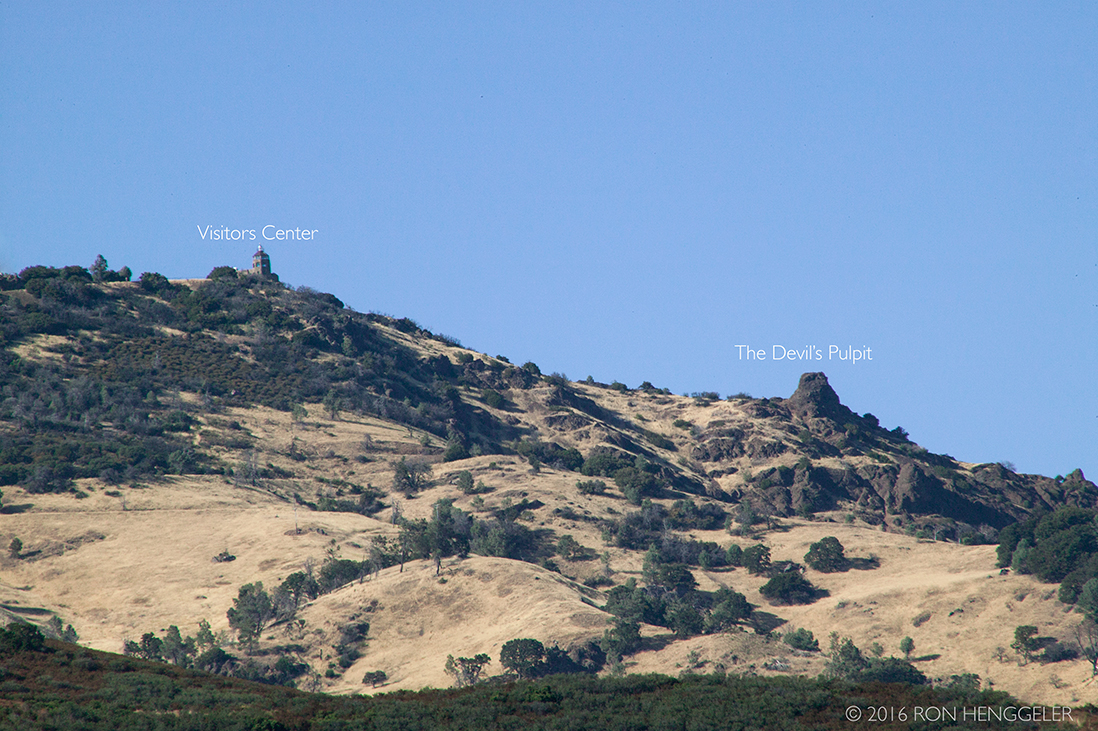
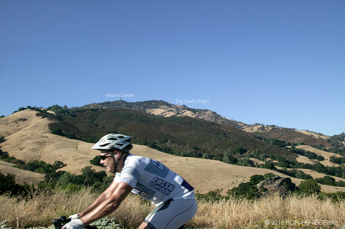
A view of the Devil's Pulpit as seen from the The Mount Diablo Interpretive Center on the summit. |
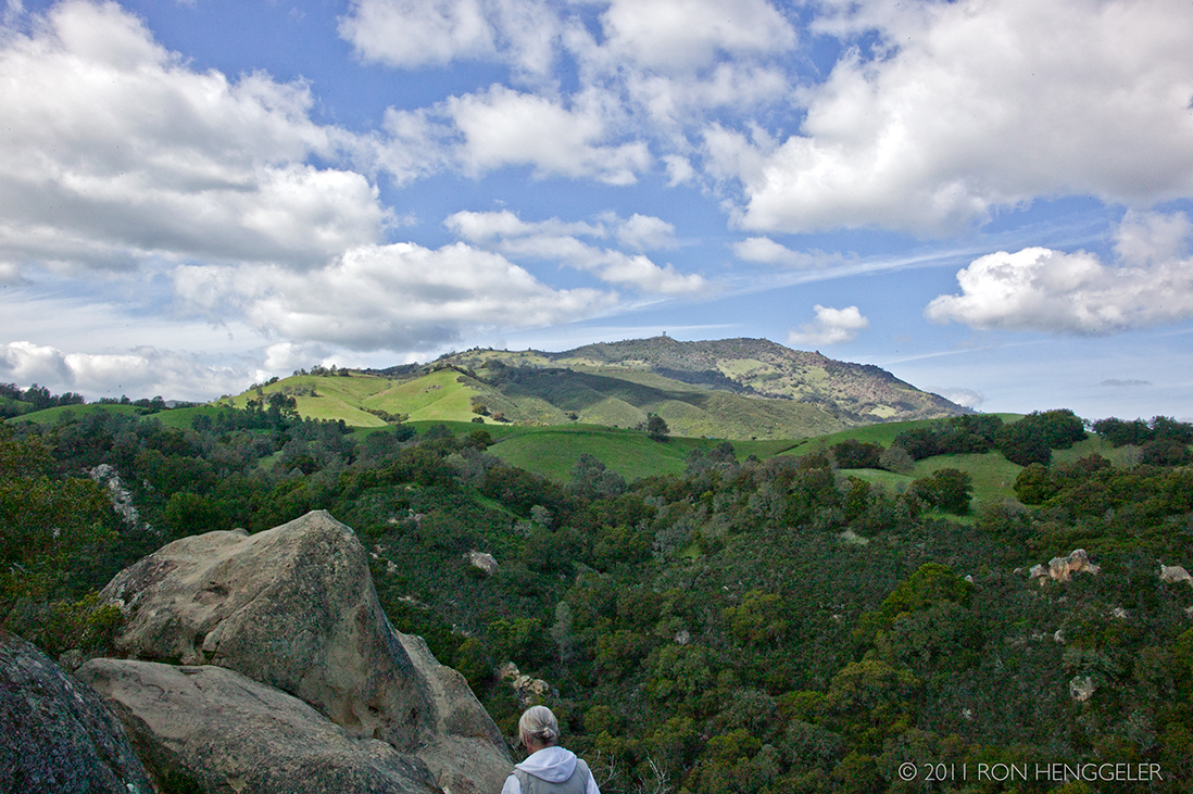
The distant summit of Mount Diablo as seen from near the entrance to Mount Diablo State Park |
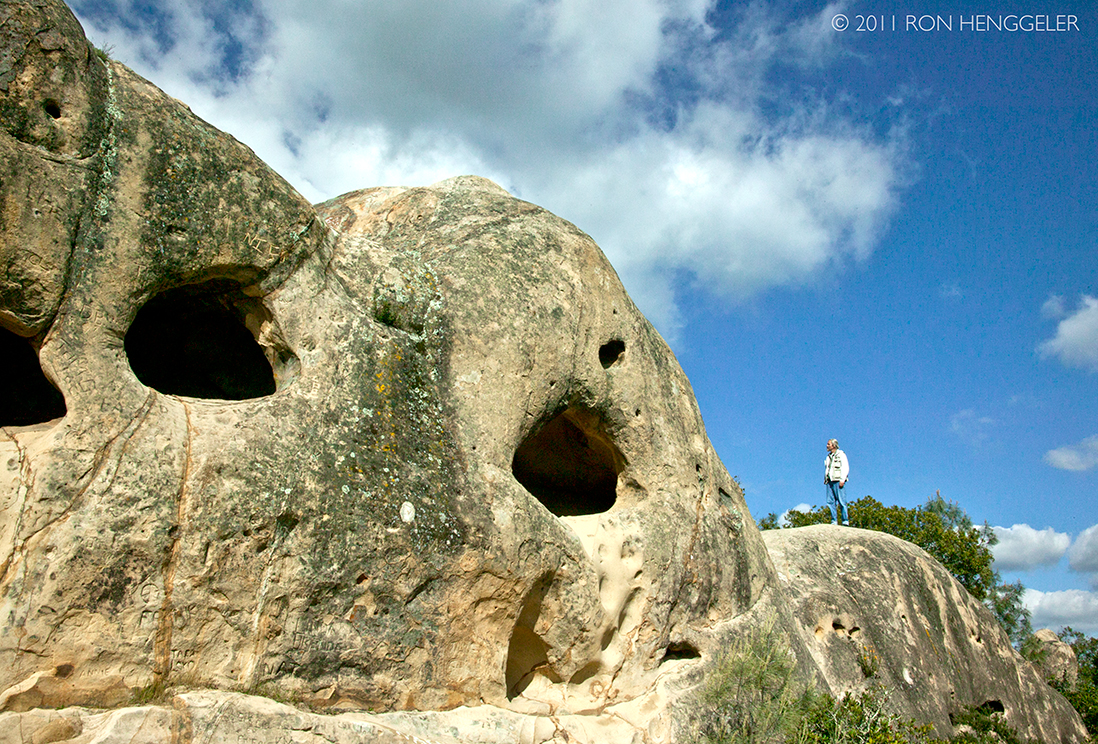
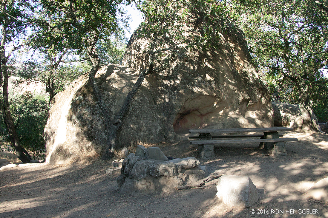
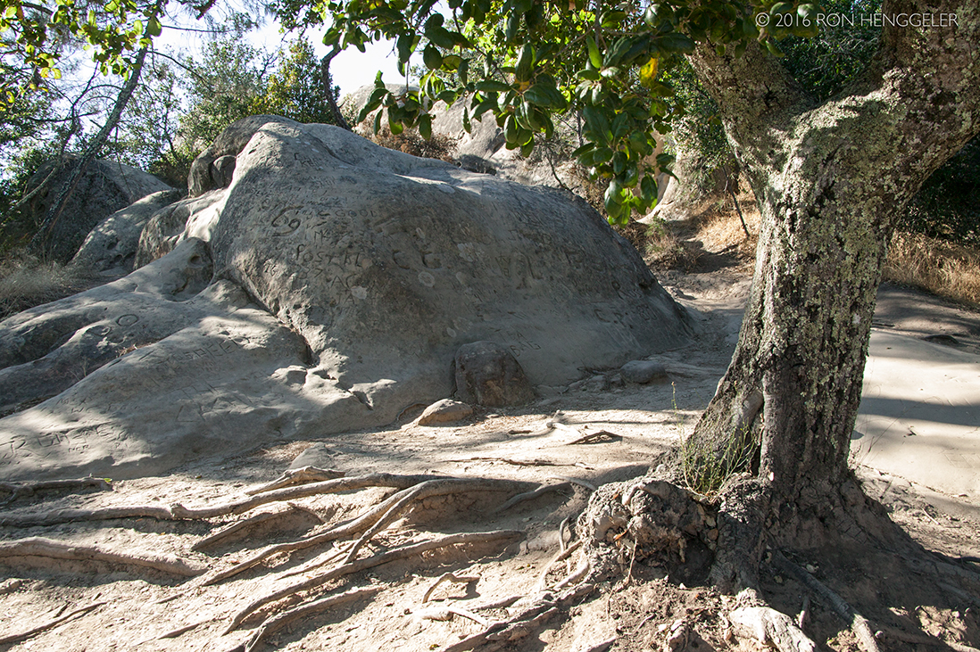
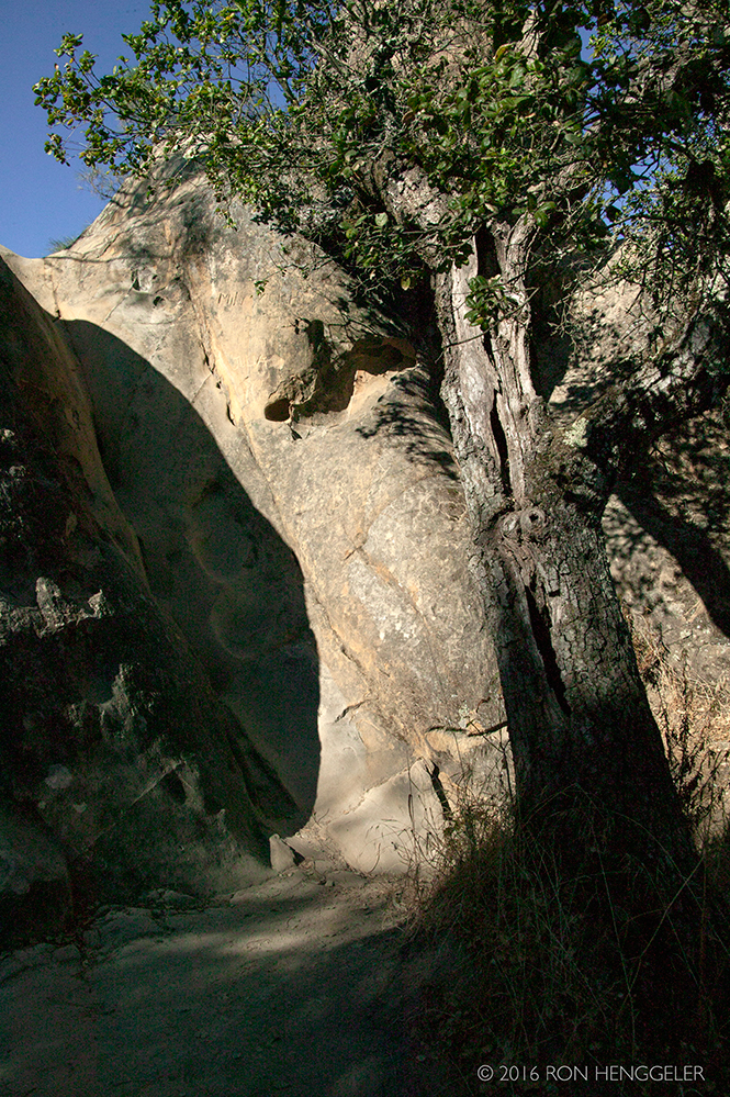
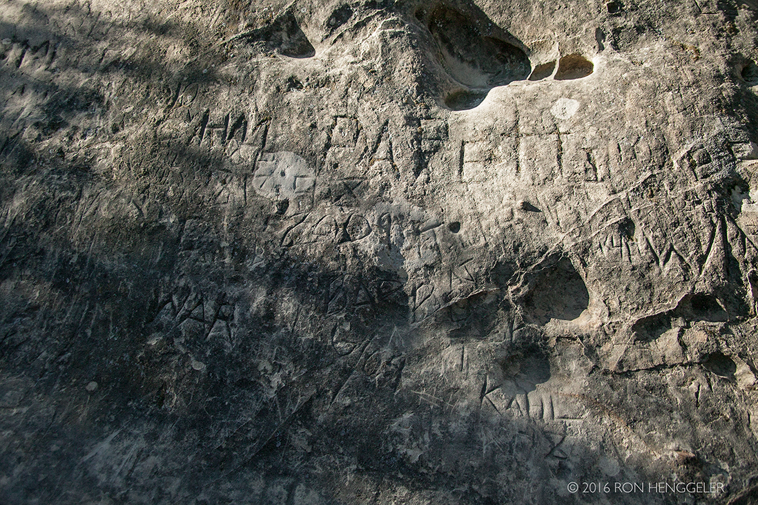
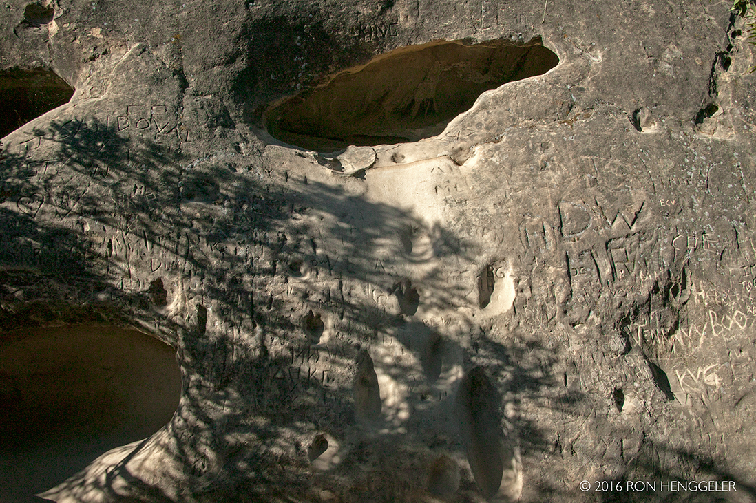
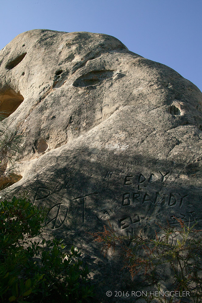
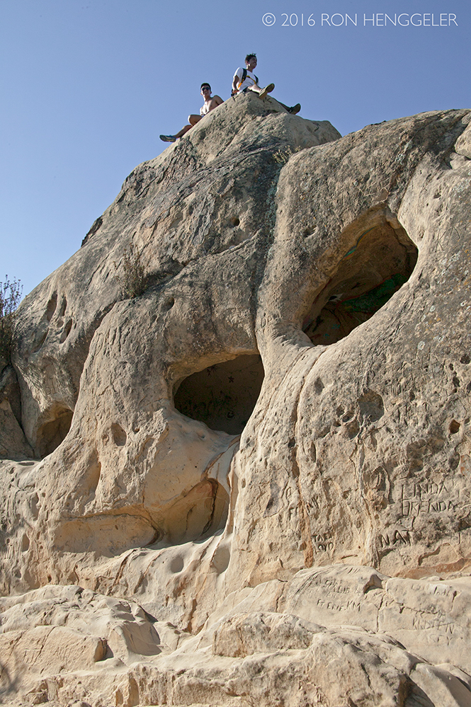
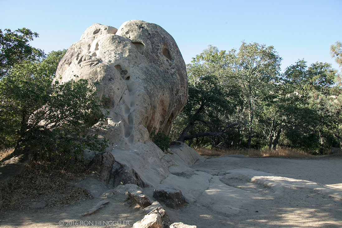
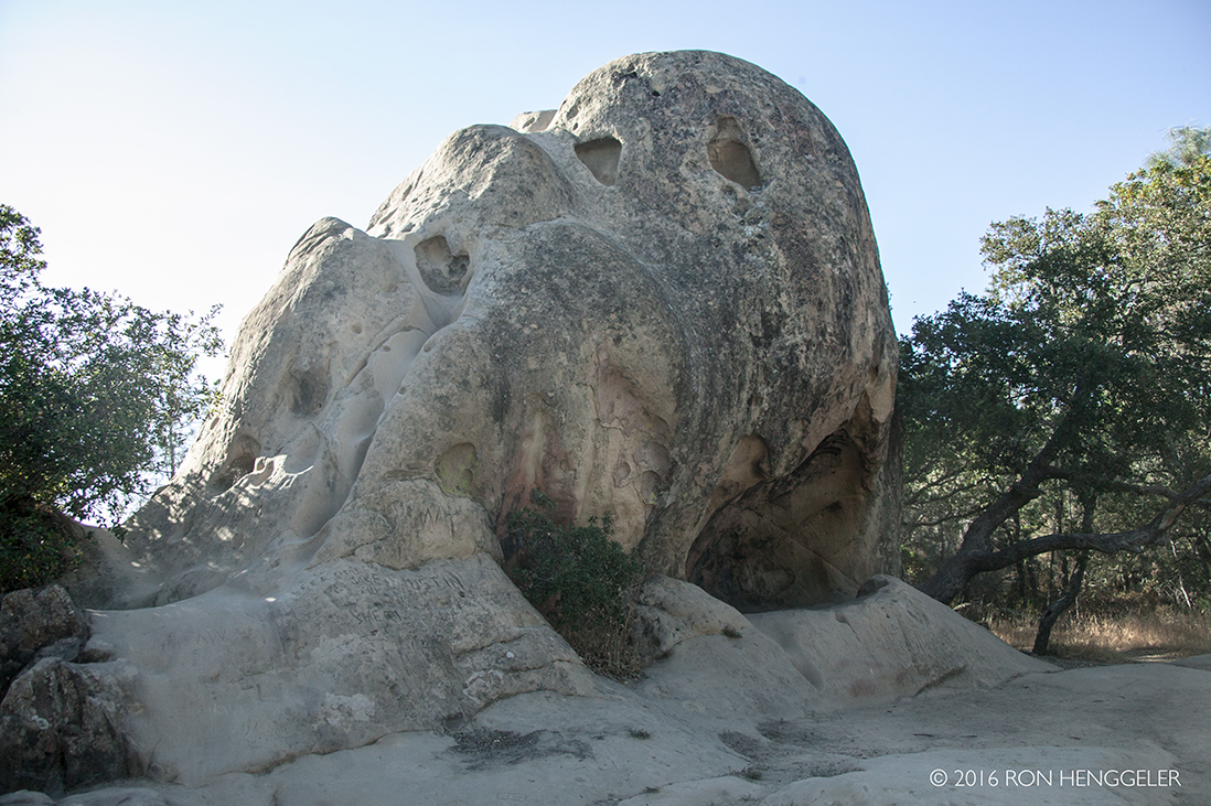
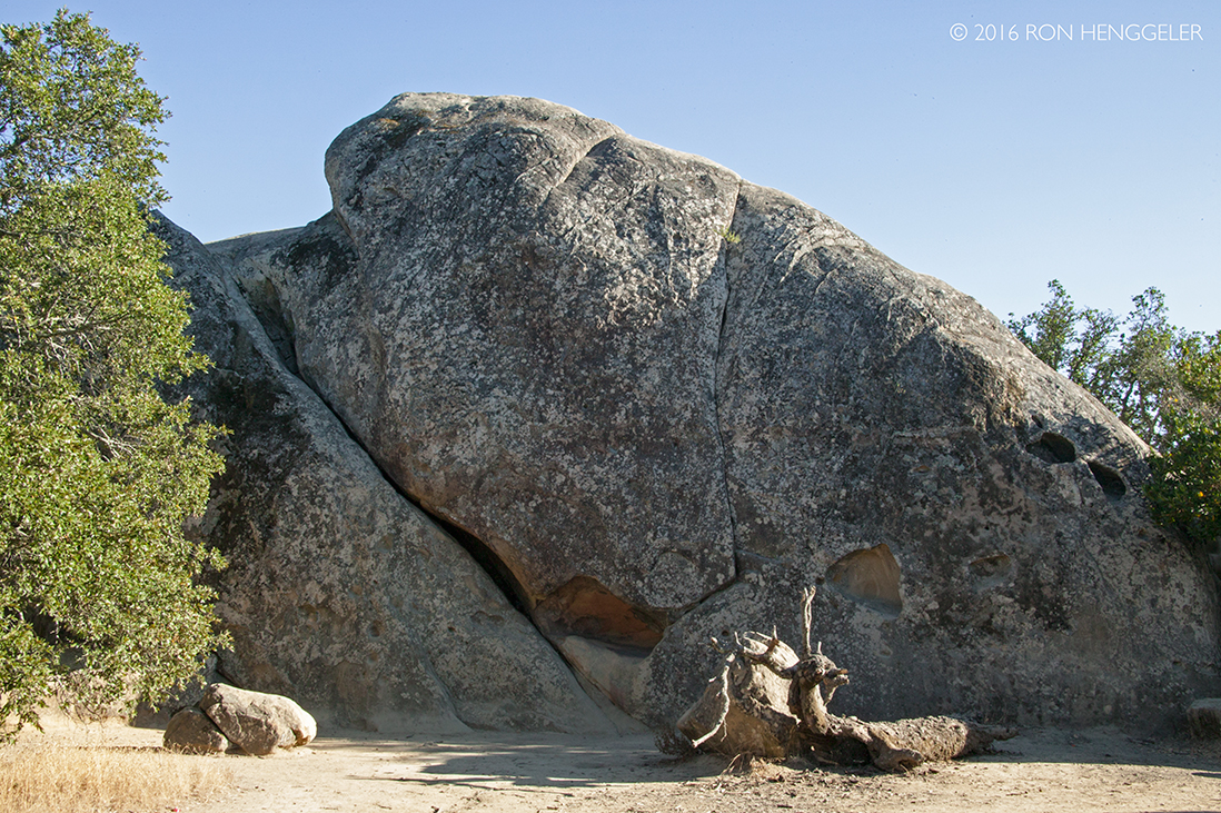
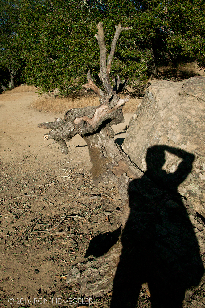
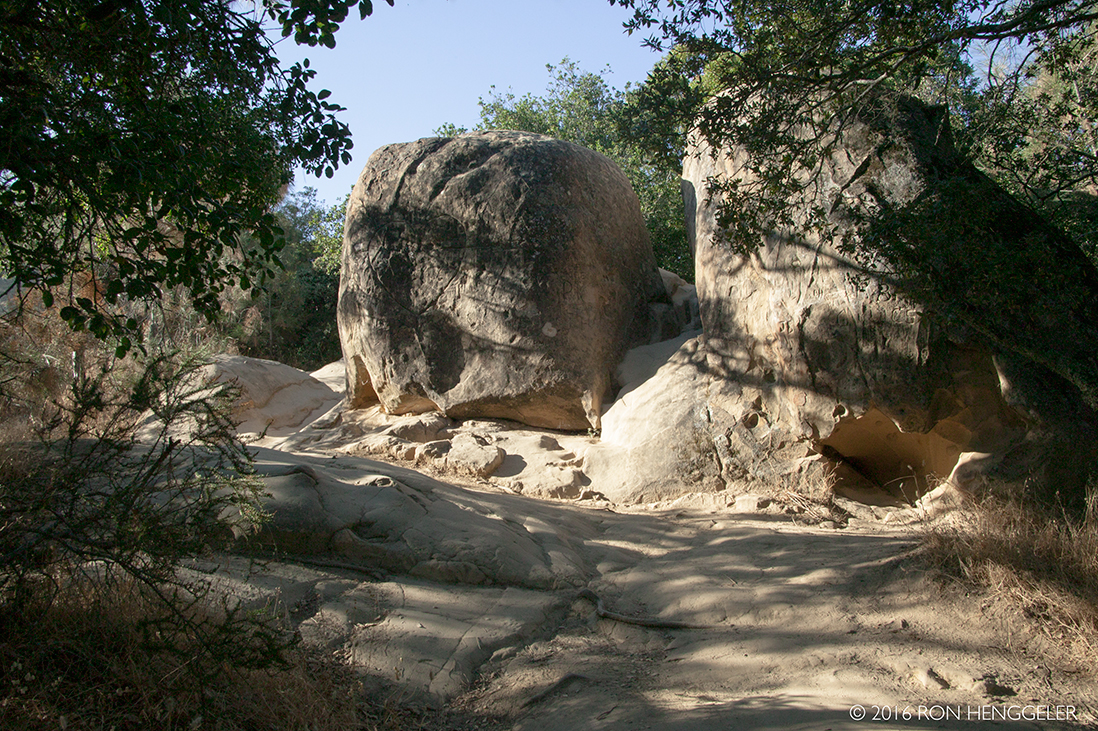
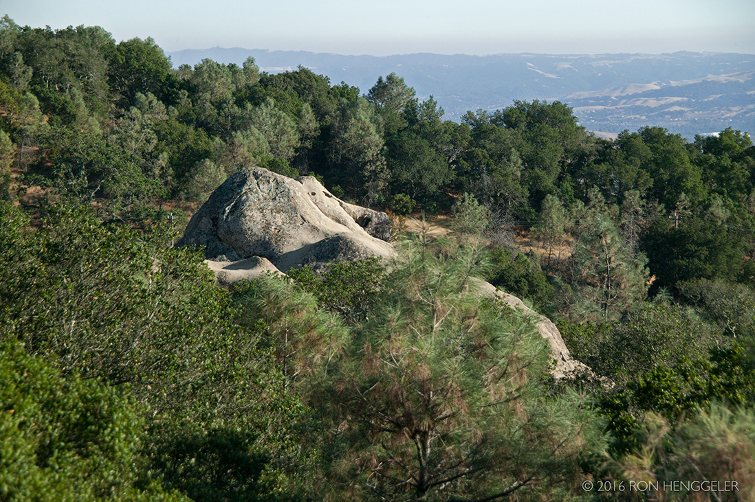
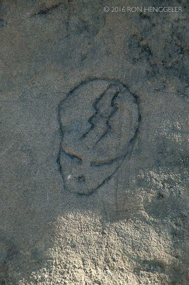
Rock City in Mount Diablo State Park |
The Devil's Pulpit near the summit of Mount Diablo as seen from the from the road below |
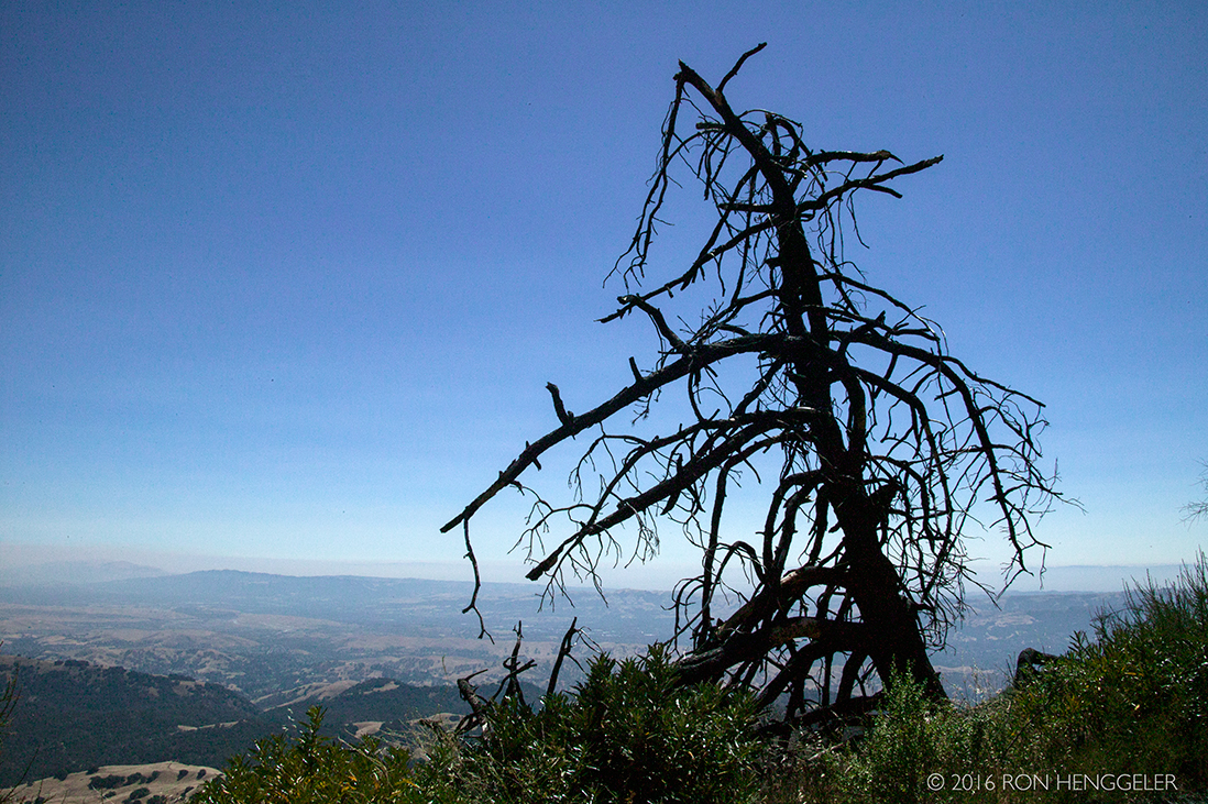
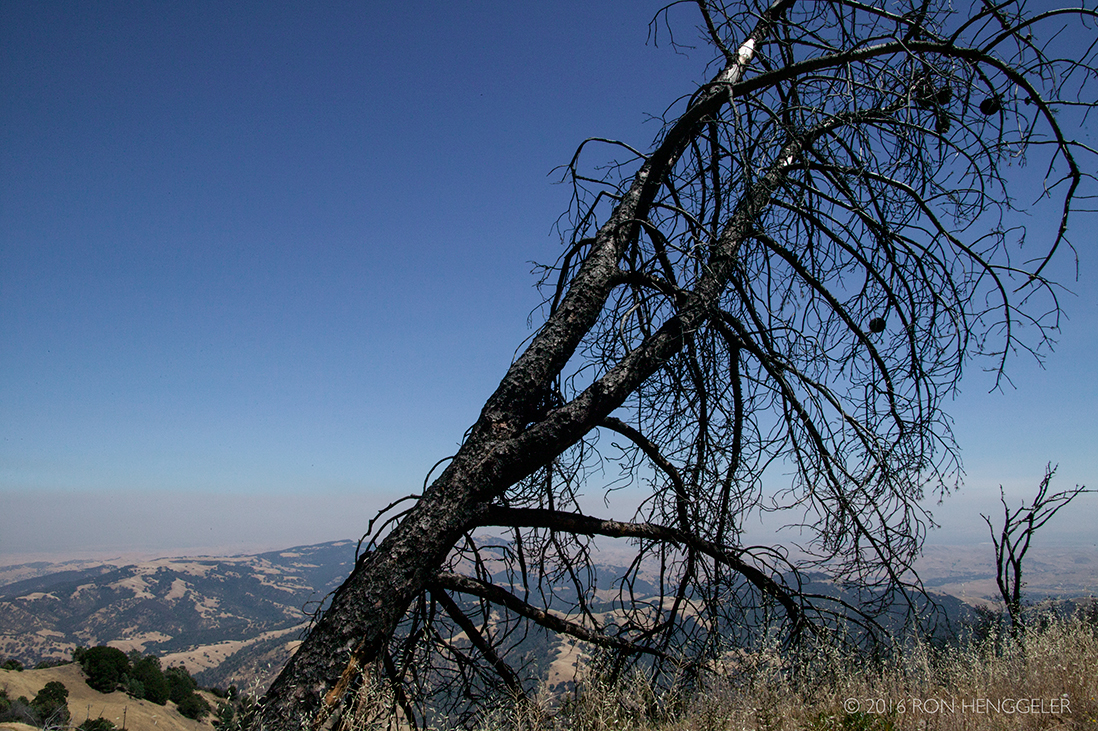
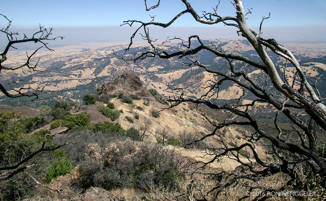
Trees near the summit that were burned in the fire that began on Sunday, Sept. 8, in 2013. By Tuesday, more than 3,200 acres had burned. For photos of the fire's aftermath in 2013 see: http://www.ronhenggeler.com/Newsletters/2013/9.17/9-17-13index.html |
|
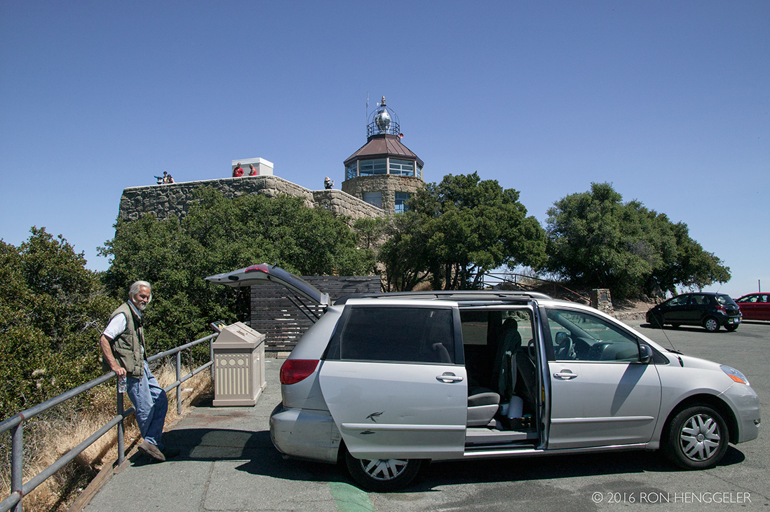
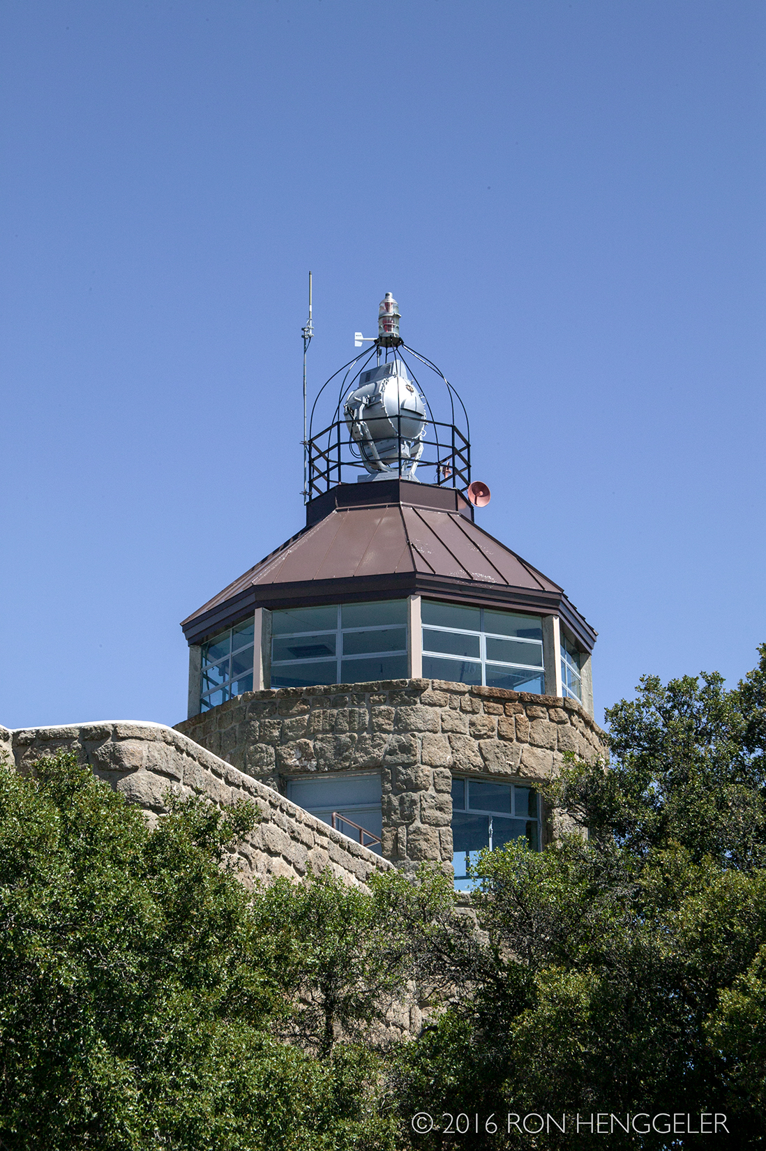
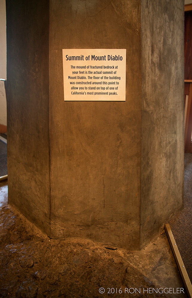
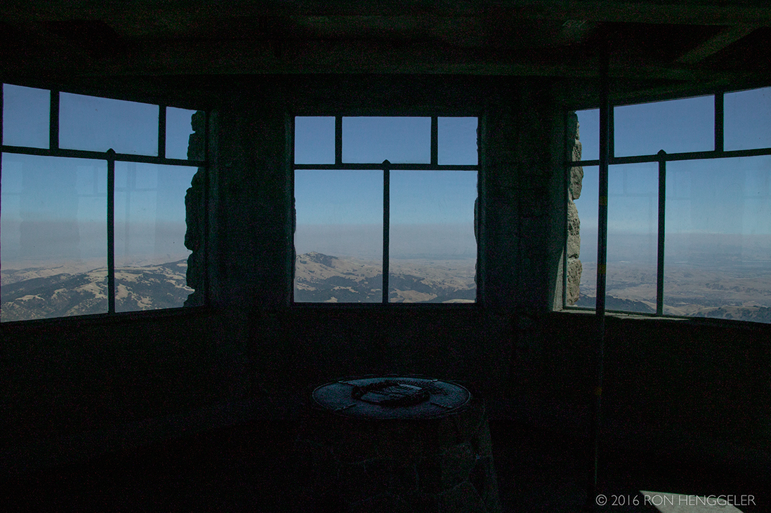
The Mount Diablo Interpretive Center at the summit |
The building has an interesting history. Built from native stone in the 1930s by the Works Progress Administration (WPA), the stone proved unsuitably porous, and so the interior was too damp to be useful for any permanent use. Only with the availability of modern polymeric sealing agents was it possible to render the building sufficiently waterproof for the housing of permanent exhibits. The tower is a mount for an aircraft navigation beacon used in the 1930's and early '40's. |
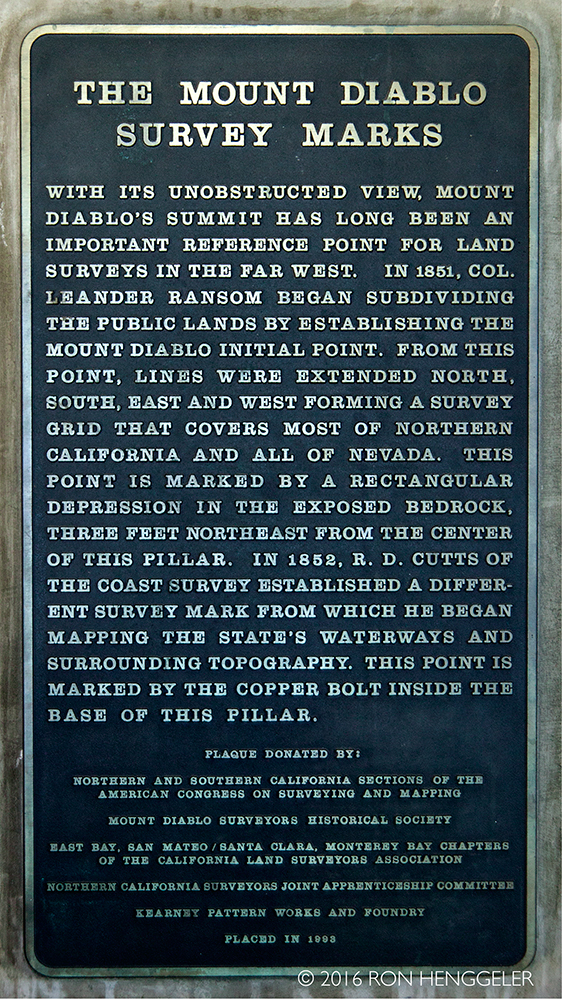
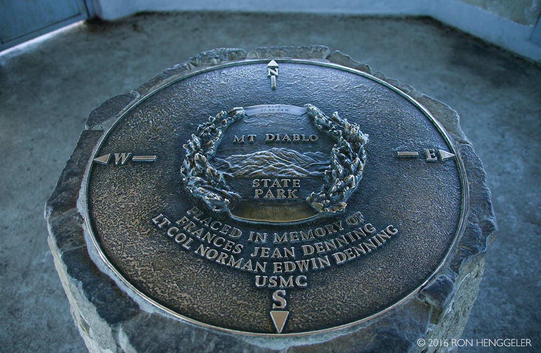
A plaque displayed inside the Mount Diablo Interpretive Center at the summit |
|
|
|
|
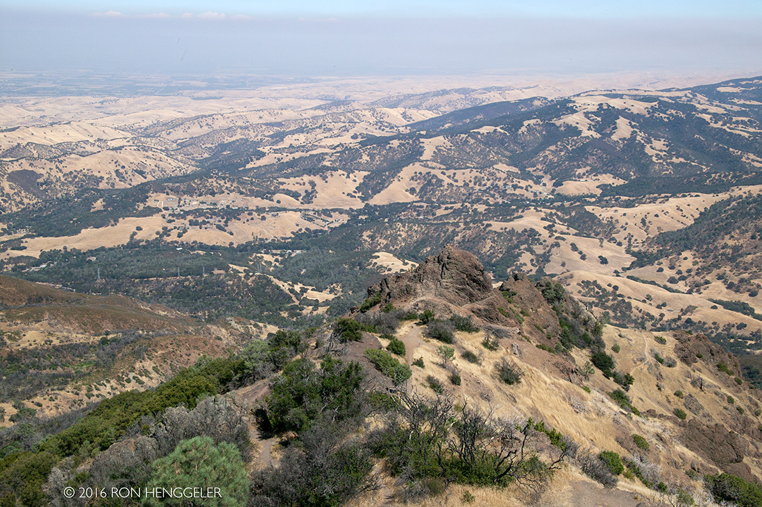
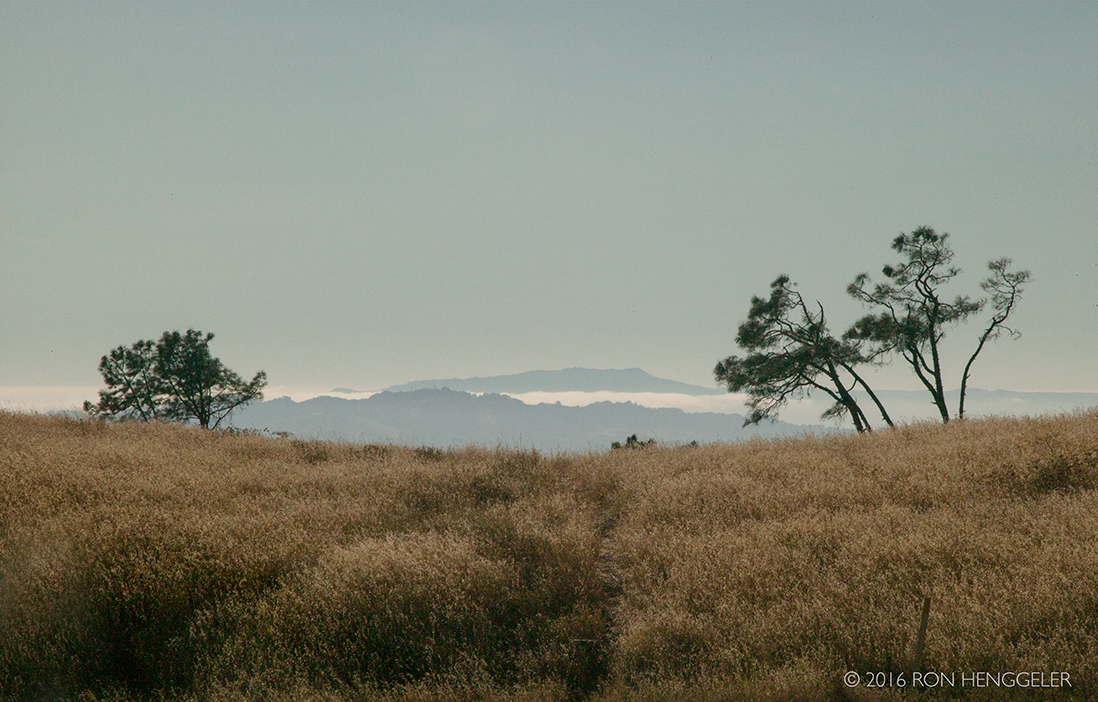
Mount Diablo offers a rich variety of landscapes, views, hikes, and natural studies. The peak is 3850 feet above sea level. From its top you can see much of northern California, from the Faralon Islands in the west to the Sierra Nevada mountains in the east. There is always a lot to see, even in bad weather, but the best distant views are found on a sunny Winter day after a storm has cleared the air. |
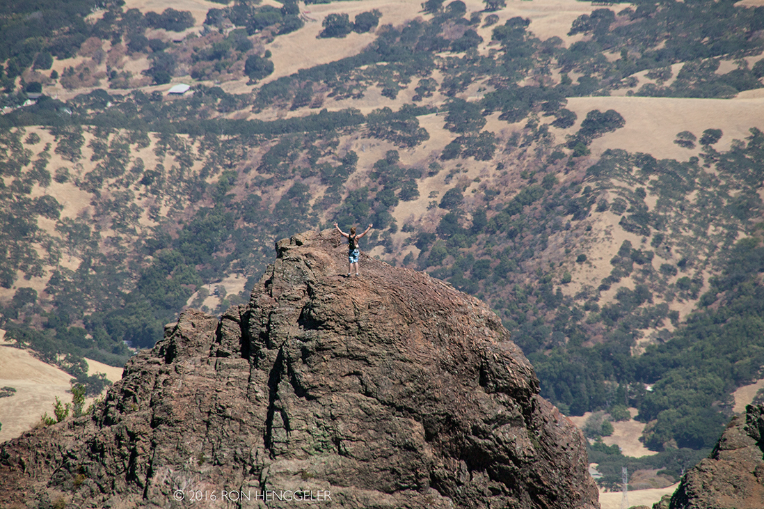
A visitor to the park standing atop the Devil's Pulpit near the summit of Mount Diablo |
|
|
On a clear day the Sierra Nevada is plainly visible. |
The best views are after a winter storm; a snowy Sierra shows up better, and summer is likely to be hazy. |
The distant Mount Tamalpais seen from the summit of Mount Diablo |
|
|
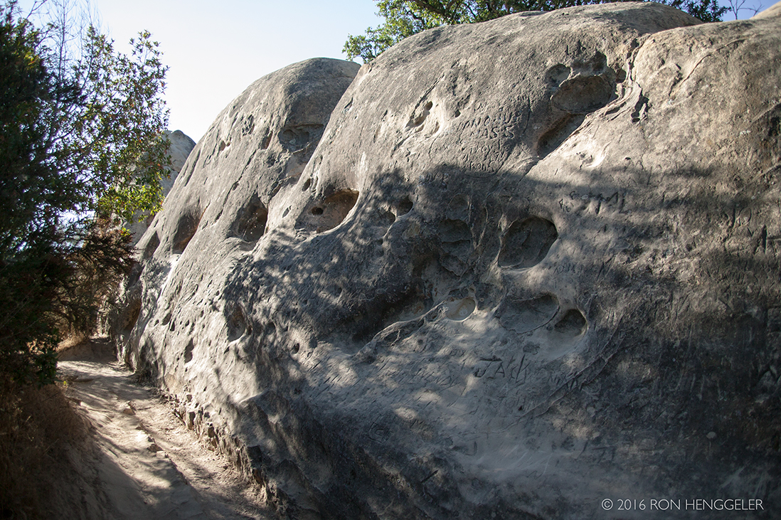
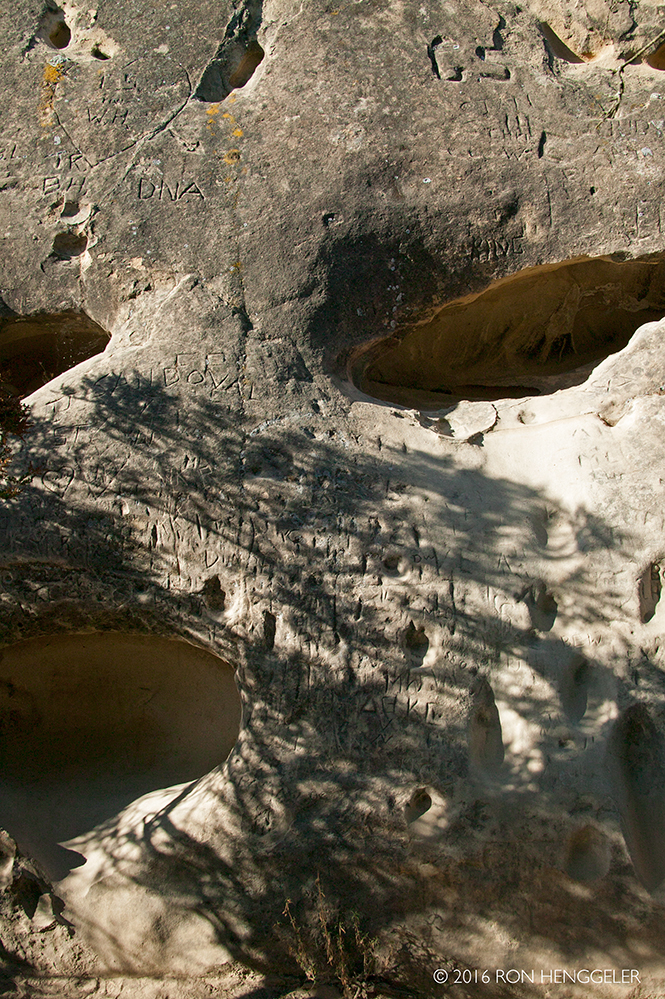
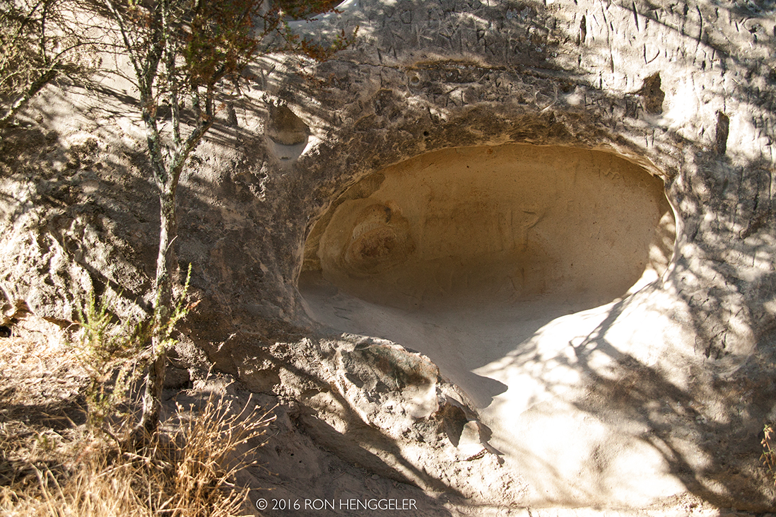
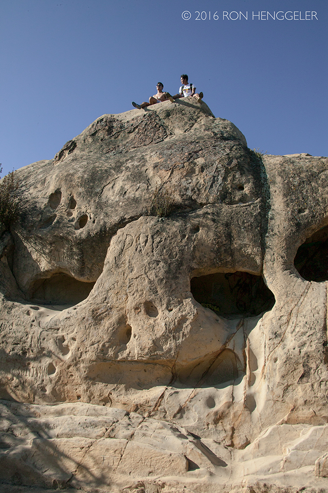
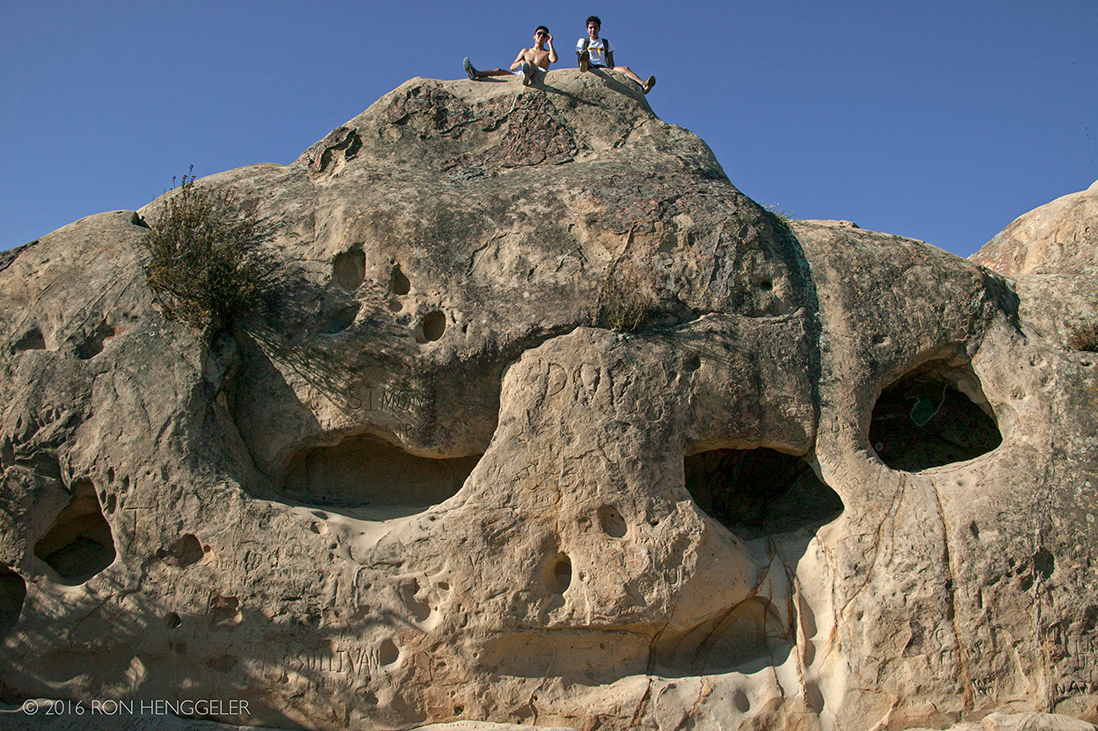
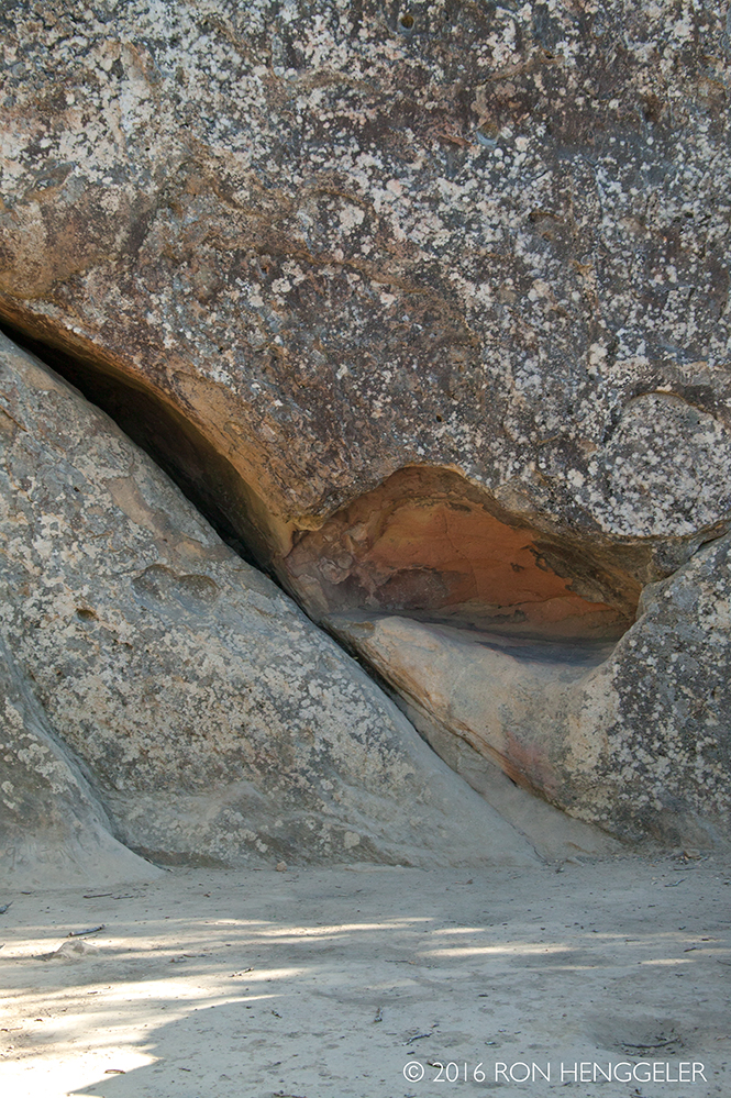
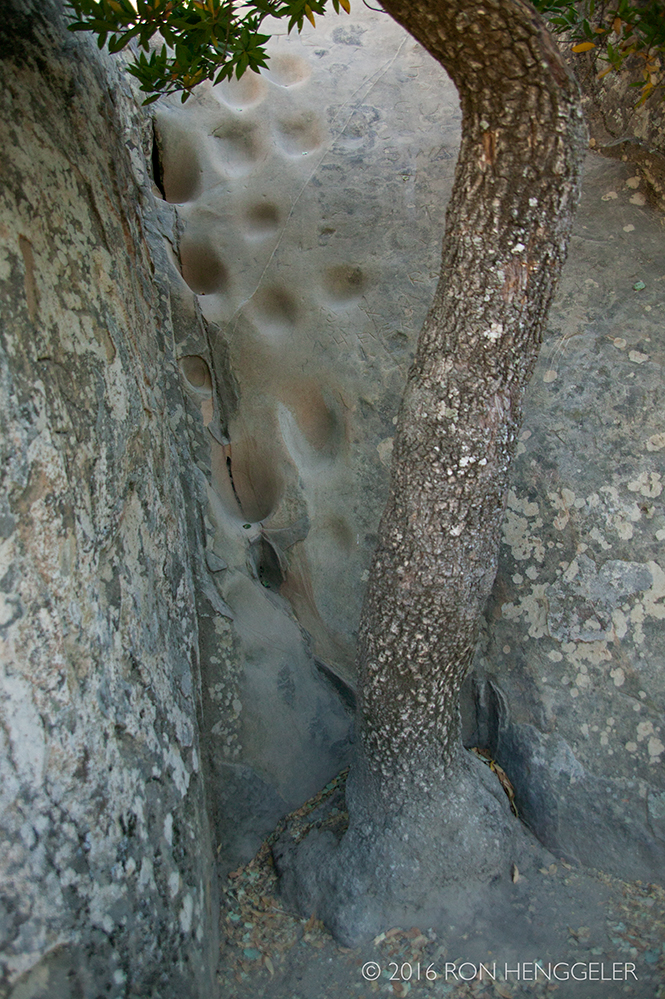
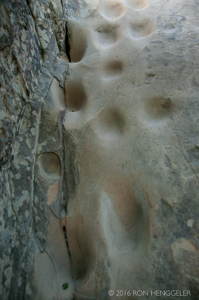
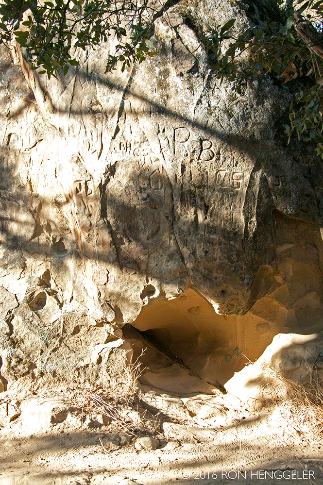
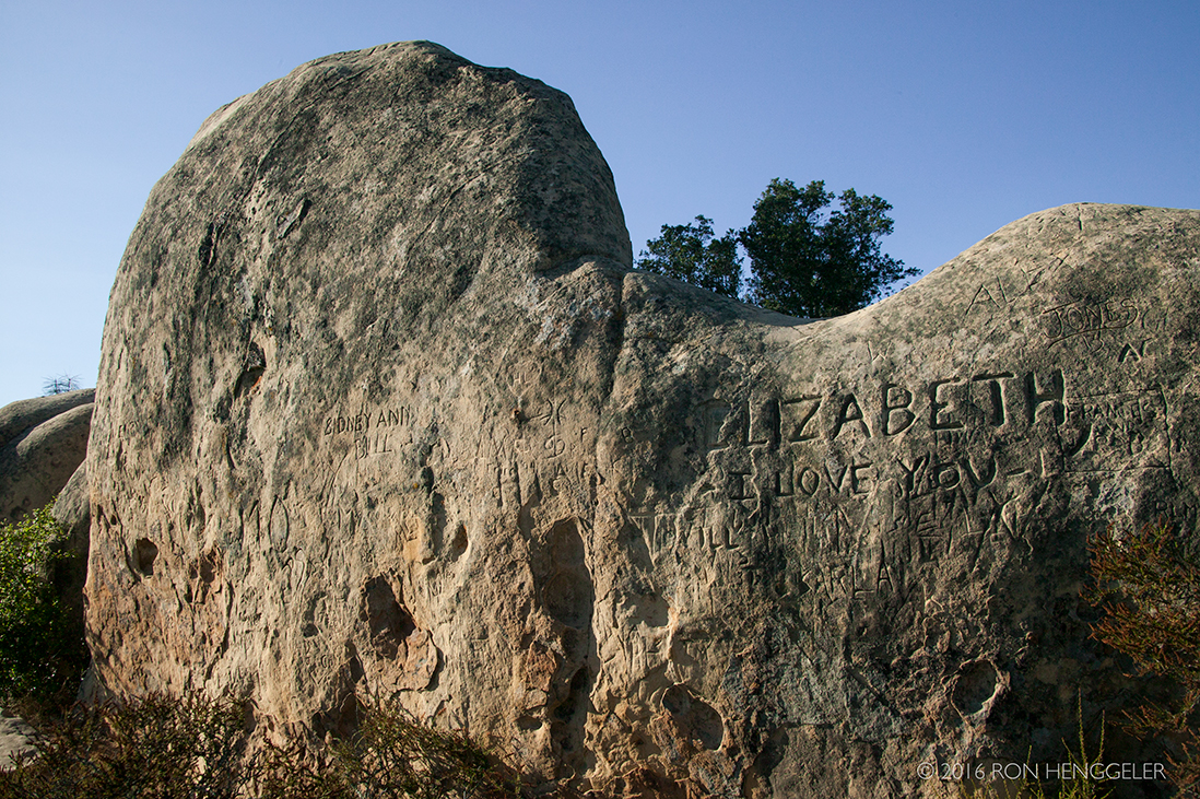
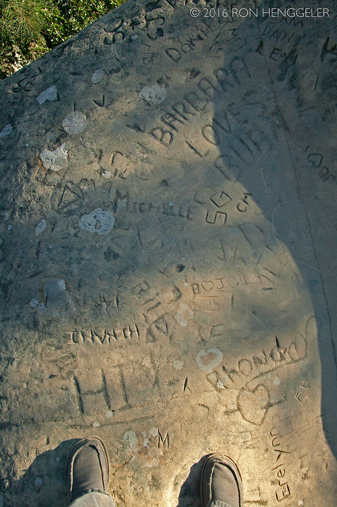
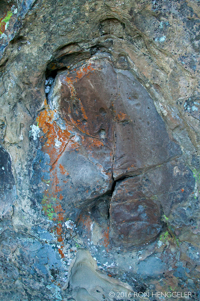
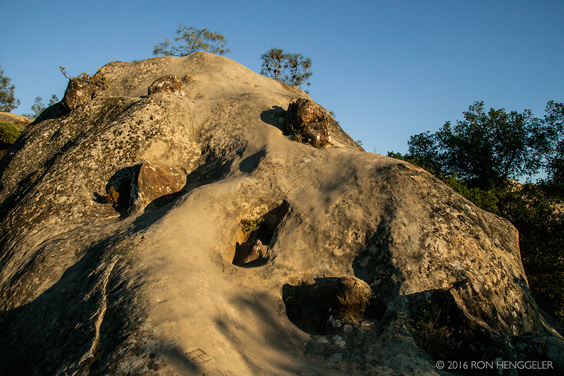
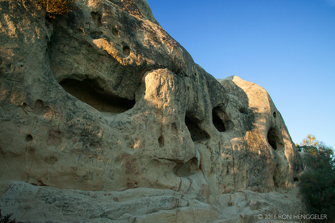
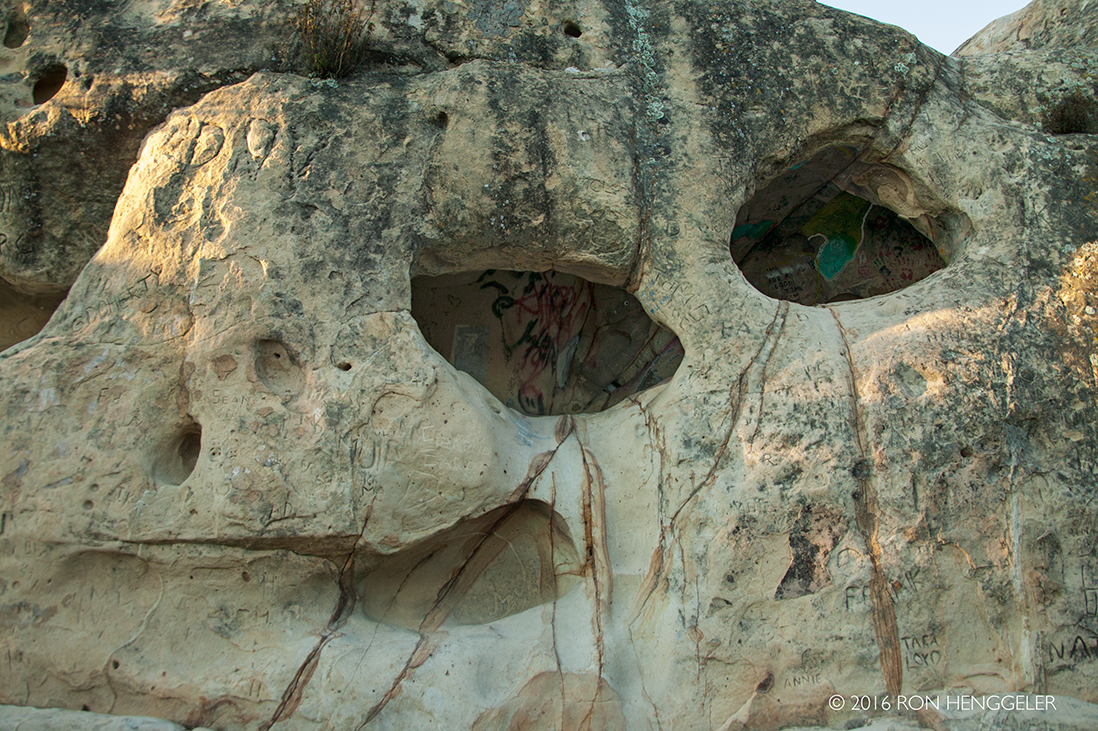
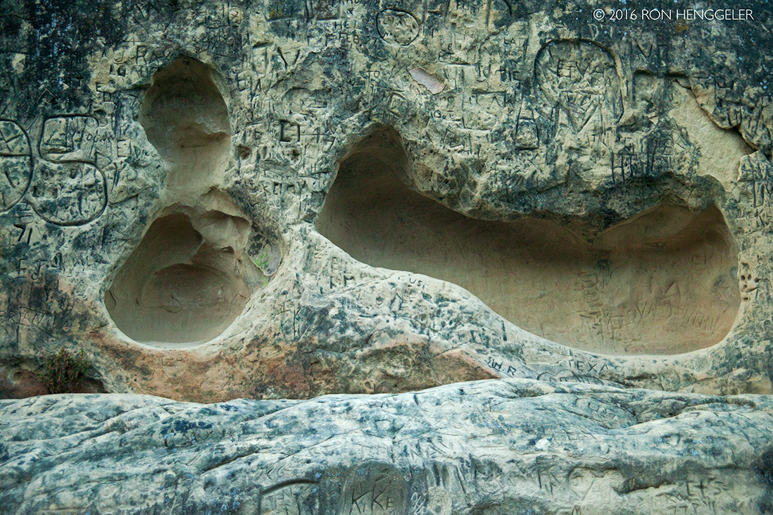
A sign near the entrance trail to Rock City proclaims: Along the trail here in Rock City about 100 feet ahead, you will see dramatic caves sculptured in the sandstone. Though commonly called Wind Caves, these cavities have a more complex origin. These cavities began to form when the sandstone, once buried far below the earth's surface, was exposed in recent geologic time during the uplift of Mt Diablo. Rain mixed with carbon dioxide from the air, formed a weak acidic water that ran over and into the rock. It dissolved the calcite cement that acts as a "glue" holding the sand grains together. Each summer, heat drew water out of the rock and over the centuries evaporation left a hard carbonate crust on the surface. Here and there, the crust cracked and fell away, exposing the weakly cemented sandstone inside. The softer material eroded more quickly than the crust, leaving behind the cavities. This sculpturing process continues today. The south and west facing caves catch the full force of the storms that come inland from the Pacific Ocean, hastening the sculptural process.
|
|
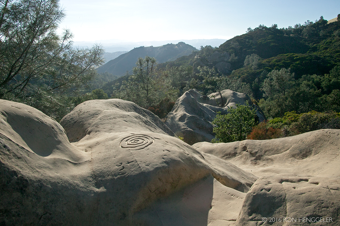
During the Eocene, the climate of California warmed, resulting in deep weathering of granite rocks exposed in the ancestral Sierra Nevada. Westward-flowing rivers carried large quantities of sand into the ocean where currents spread the sand grains across the Central Valley and the Mount Diablo area. Pressure from the later burial, aided by calcite (calcium carbonate) cementation from circulating waters, bound the sand grains together into solid rock. Uplift of Mount Diablo in recent geologic time exposed the sandstone. The sand grains are mostly fragments of quartz and feldspar. |
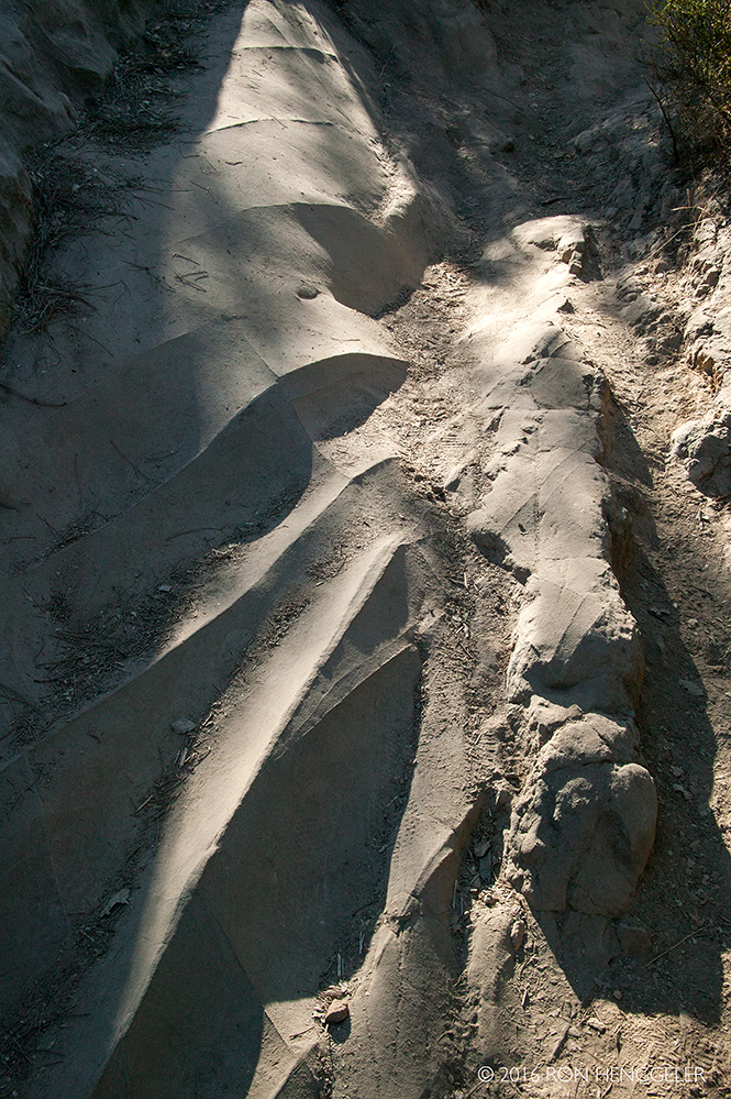
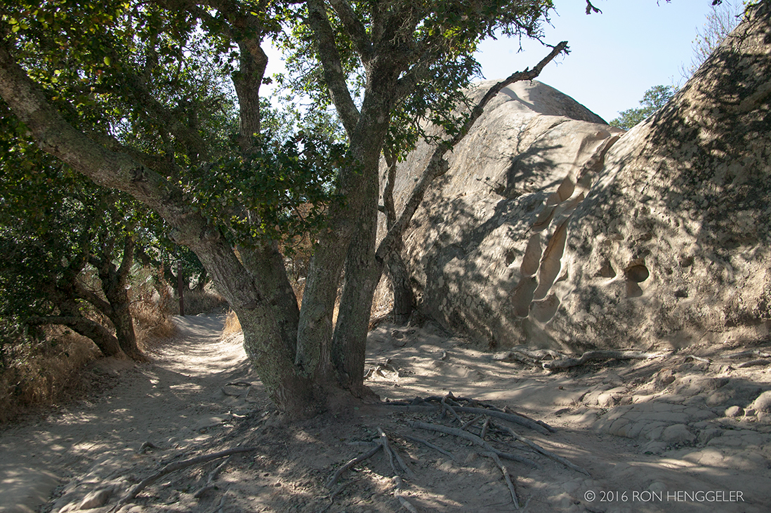
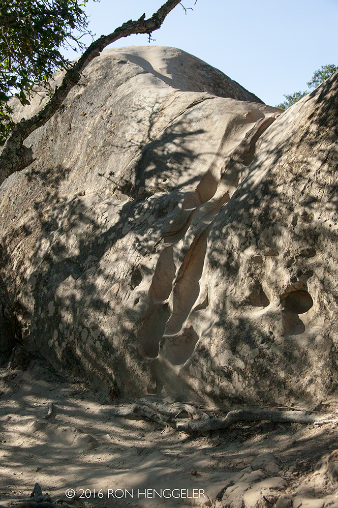
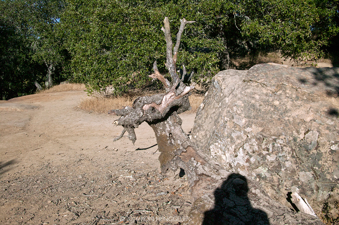
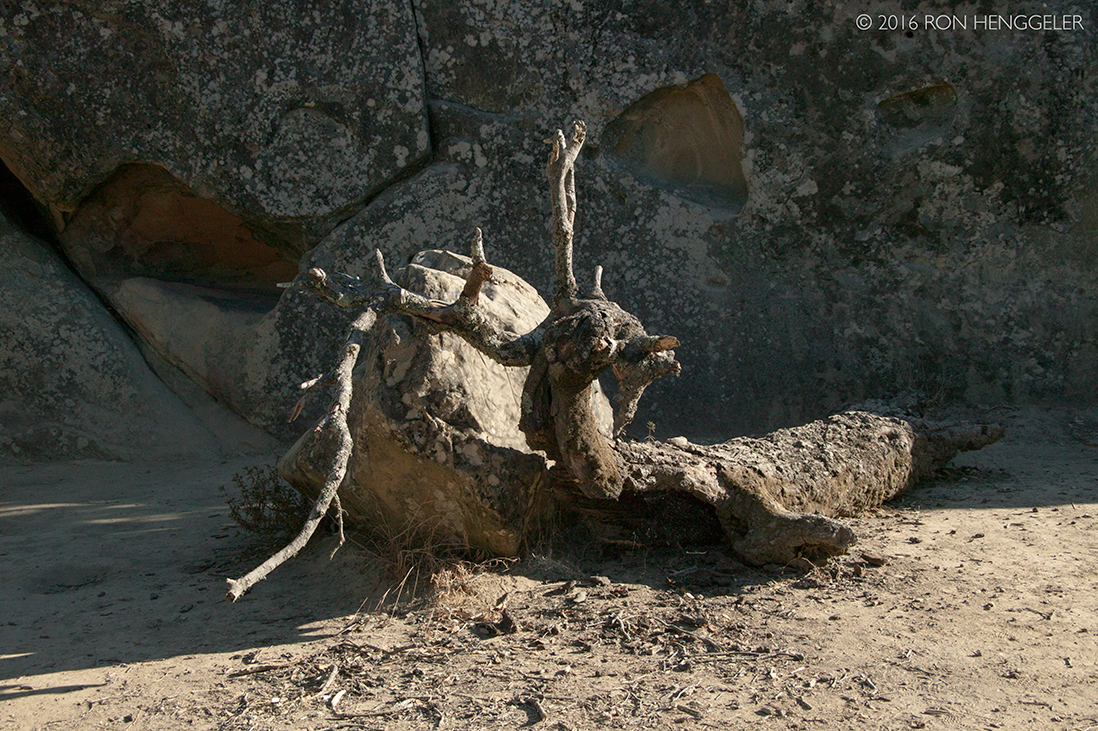
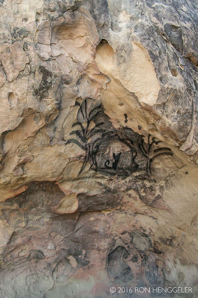
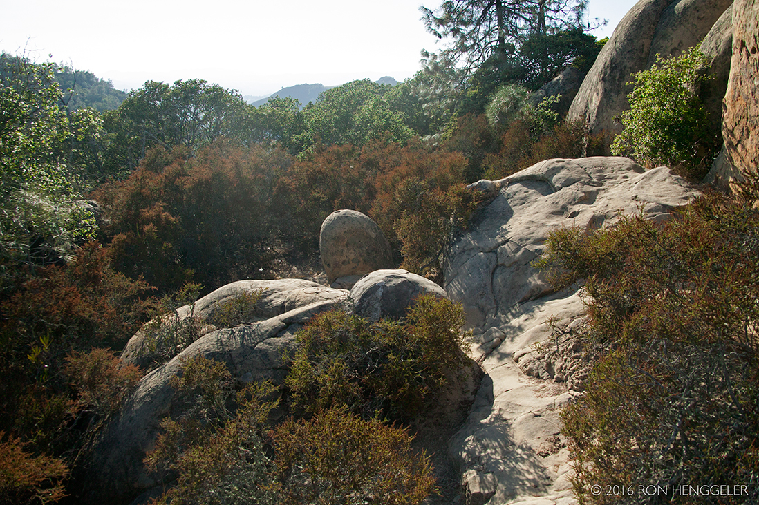
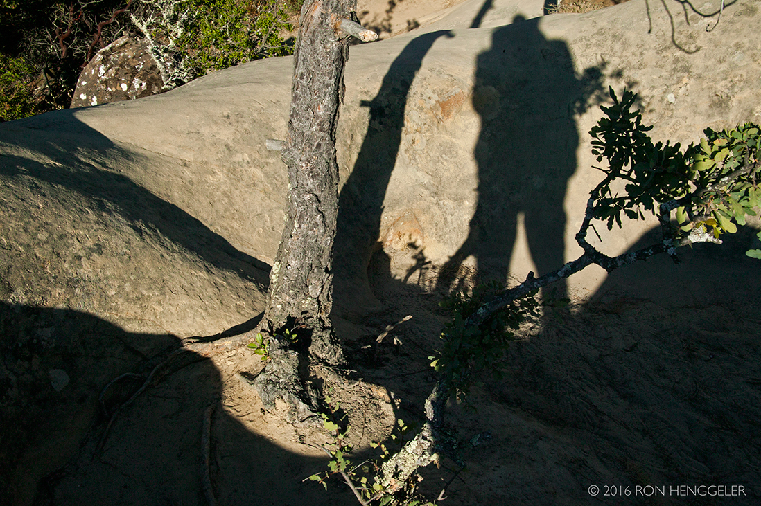
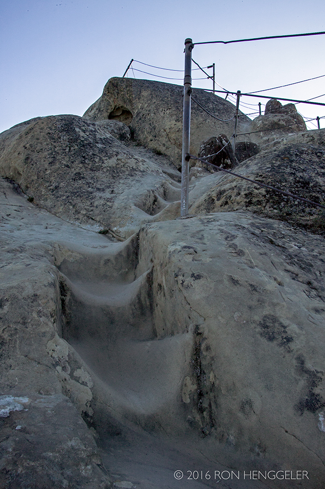
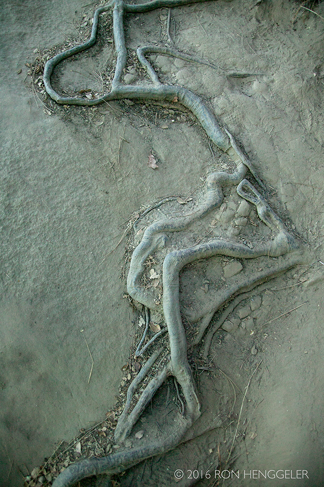
Views along the TRAIL THROUGH TIME at Rock City in Mount Diablo State Park |
Views along the TRAIL THROUGH TIME at Rock City in Mount Diablo State Park |
|
|
|
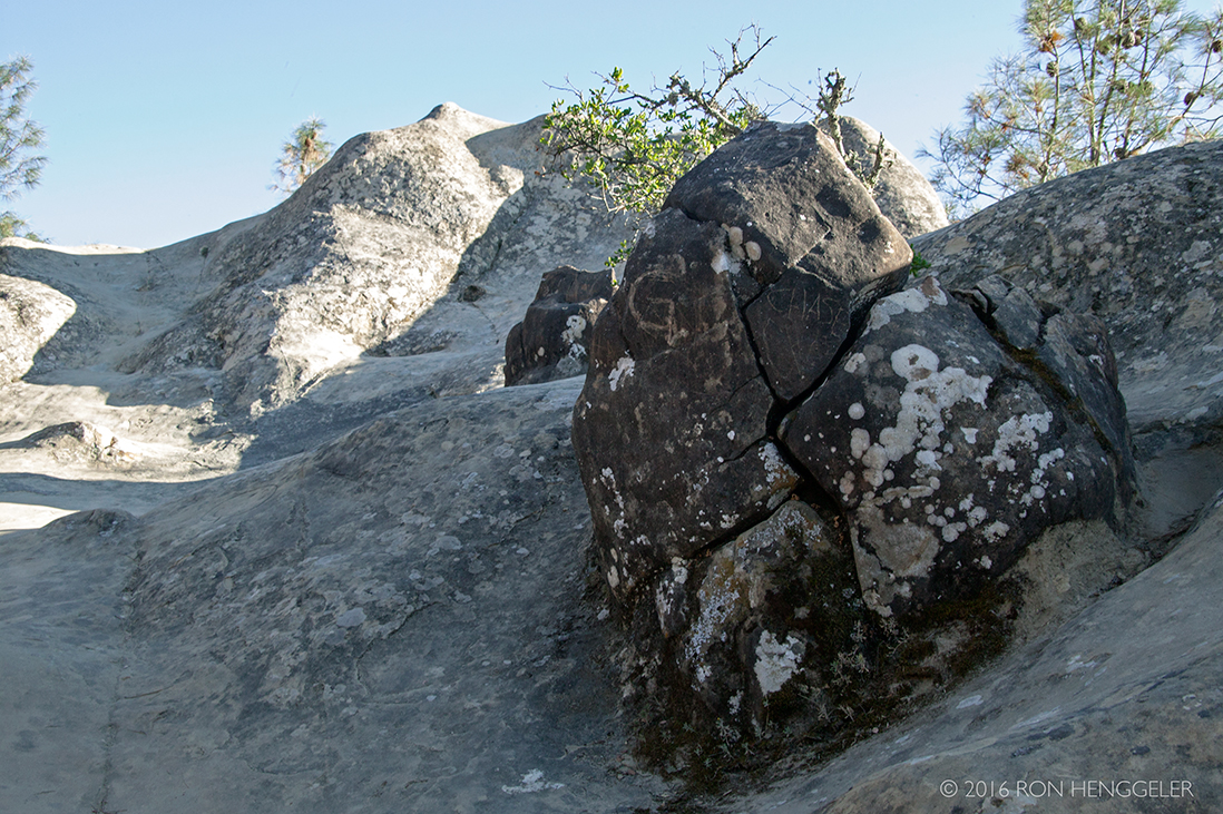
Views along the TRAIL THROUGH TIME at Rock City in Mount Diablo State Park |
|
|
Views along the TRAIL THROUGH TIME at Rock City in Mount Diablo State Park |
|
|
|
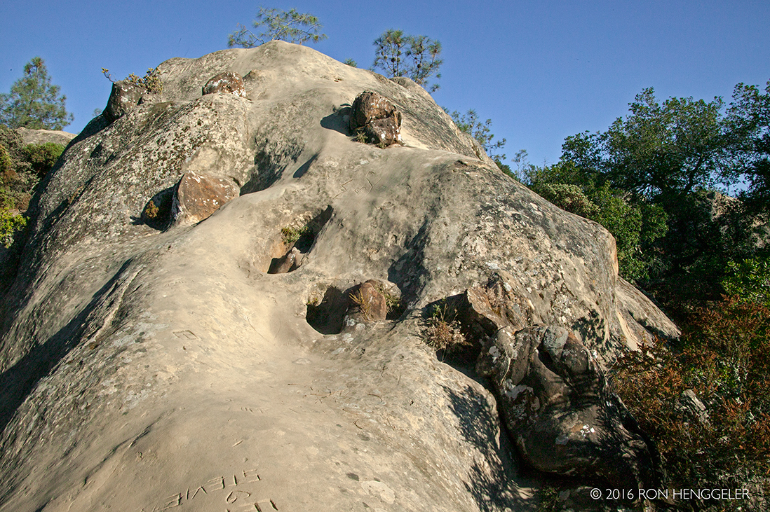
Views along the TRAIL THROUGH TIME at Rock City in Mount Diablo State Park |
Rock City in Mount Diablo State Park |
|
|
Rock City in Mount Diablo State Park |
|
Rock City in Mount Diablo State Park |
|
|
|
|
|
|
Rock City in Mount Diablo State Park |
|
|
|
|
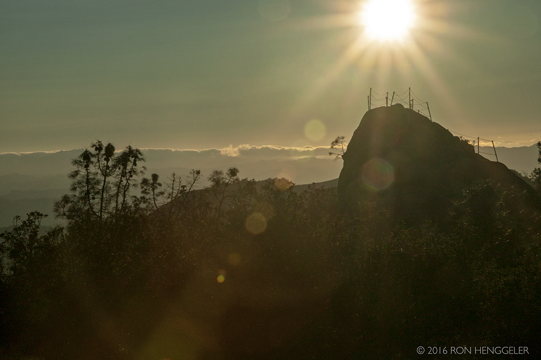
A view of the distant Sentinel Rock (in the center of this photo) |
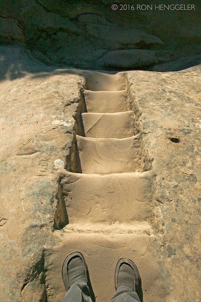
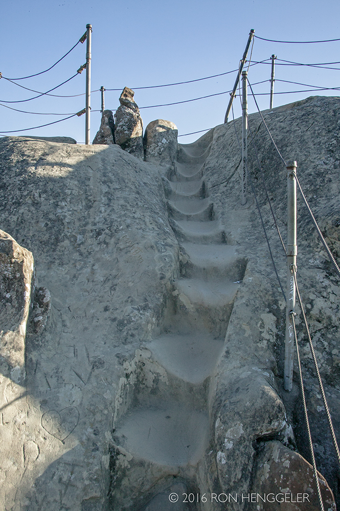
Steps on the trail leading to Sentinel Rock |
|
|
|
|
|
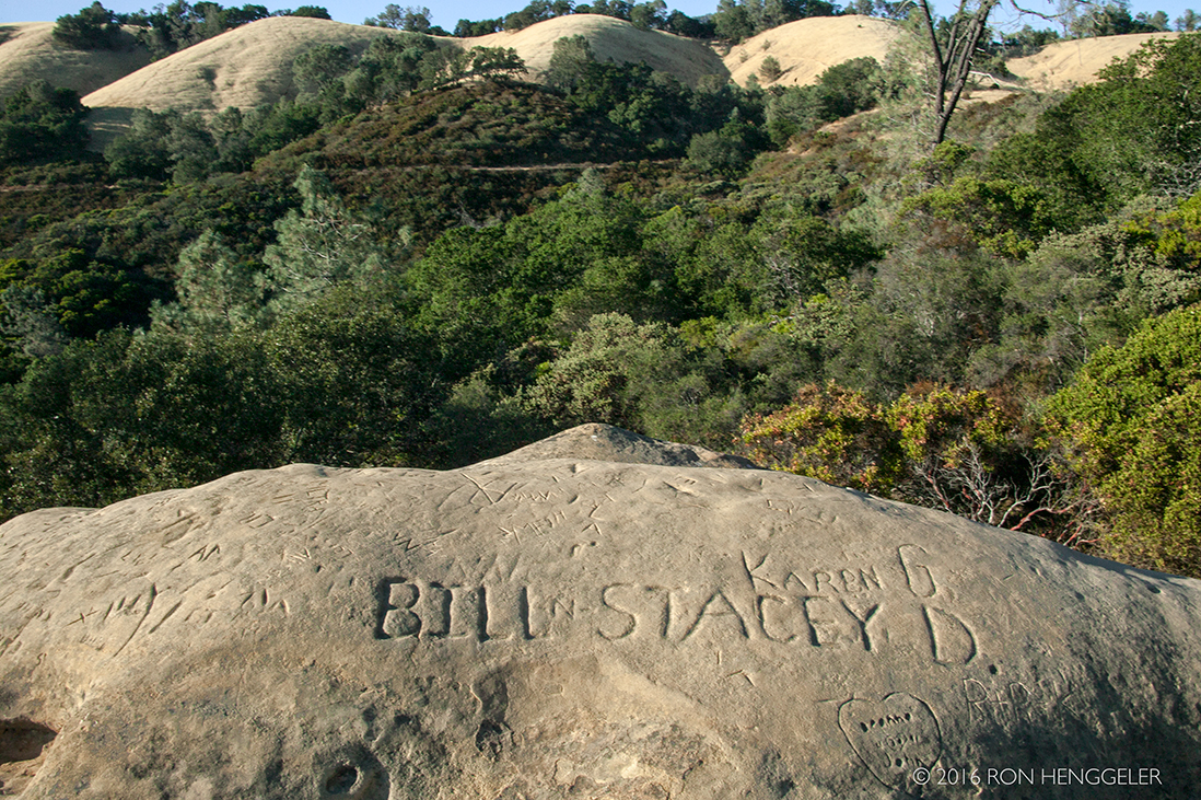
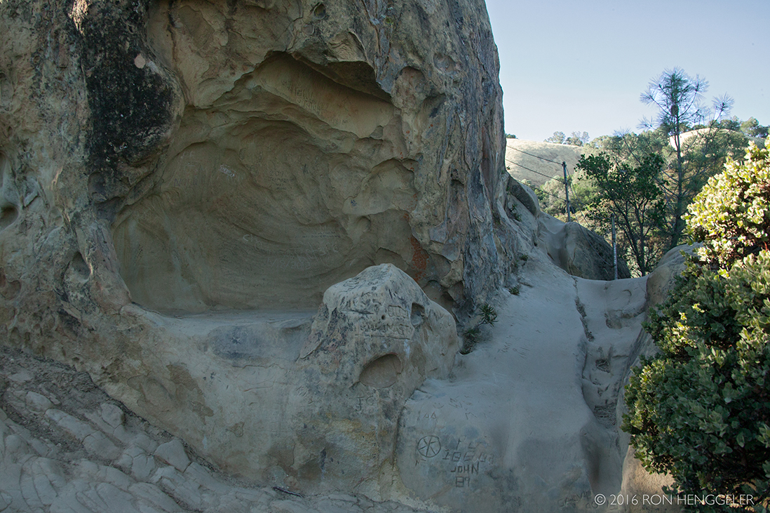
Curious rock features near Sentinel Rock at Rock City in Mount Diablo State Park |
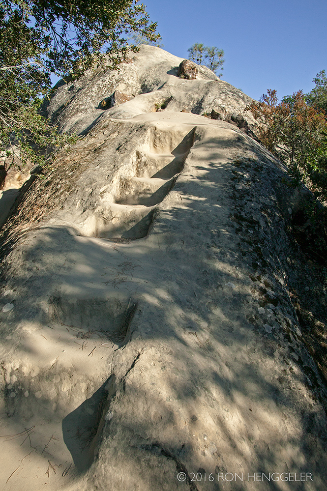
Carved sandstone steps on the trail leading to Sentinel Rock |
|
|
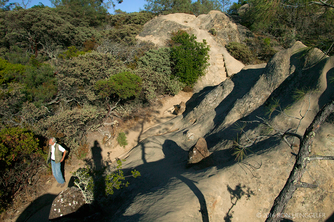
The climb up to Sentinel Rock at Rock City in Mount Diablo State Park |
|
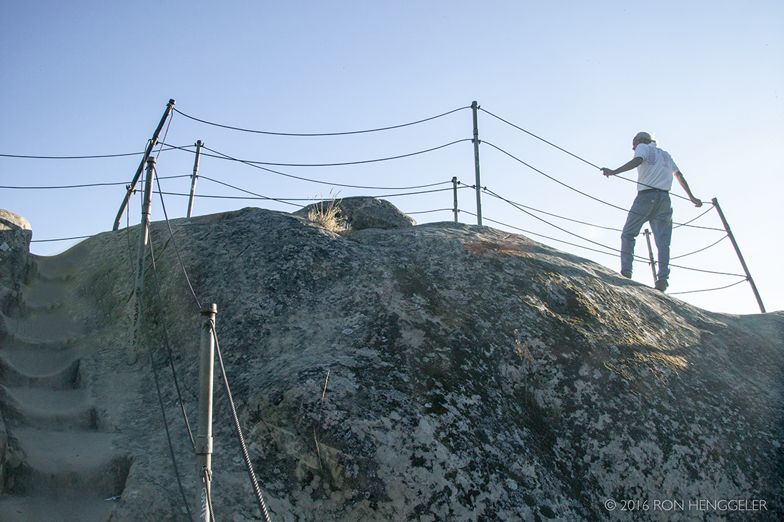
The approach to the top of Sentinel Rock at Rock City in Mount Diablo State Park |
|
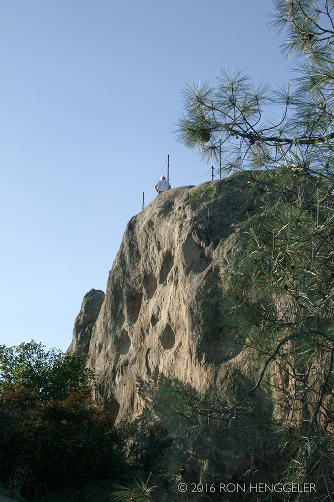
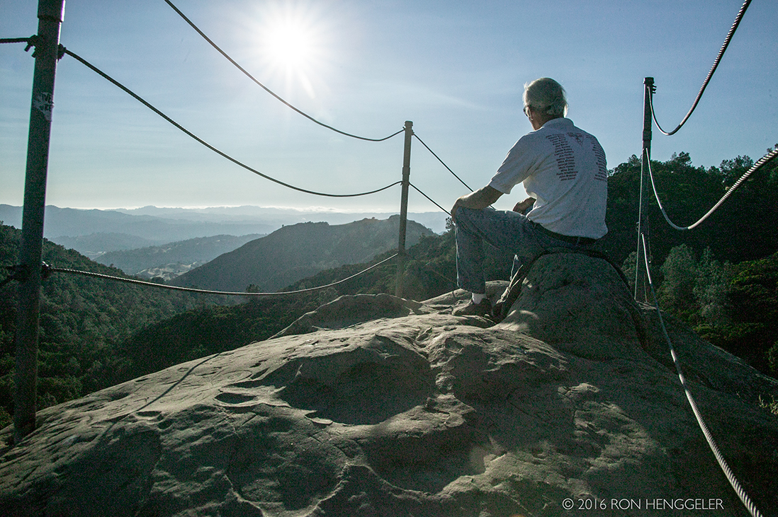
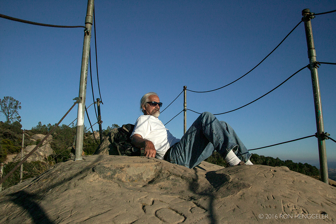
David atop Sentinel Rock at Rock City in Mount Diablo State Park |
|
David atop Sentinel Rock at Rock City in Mount Diablo State Park |
|
|
Sentinel Rock at Rock City in Mount Diablo State Park |
|
|
|
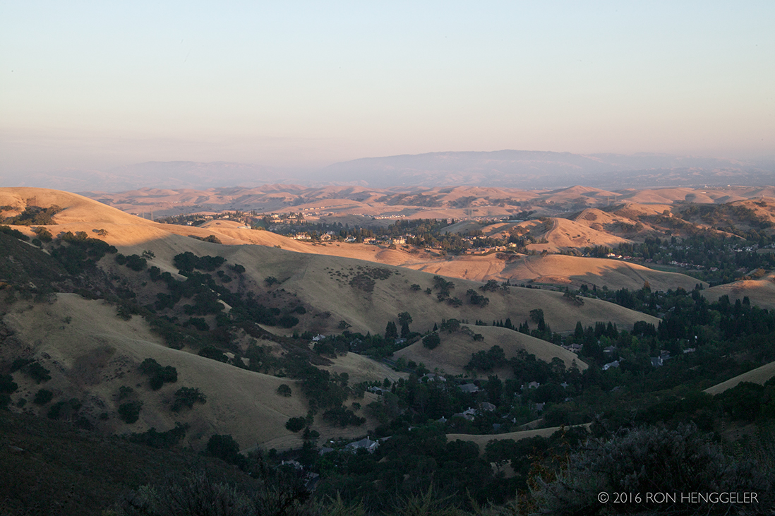
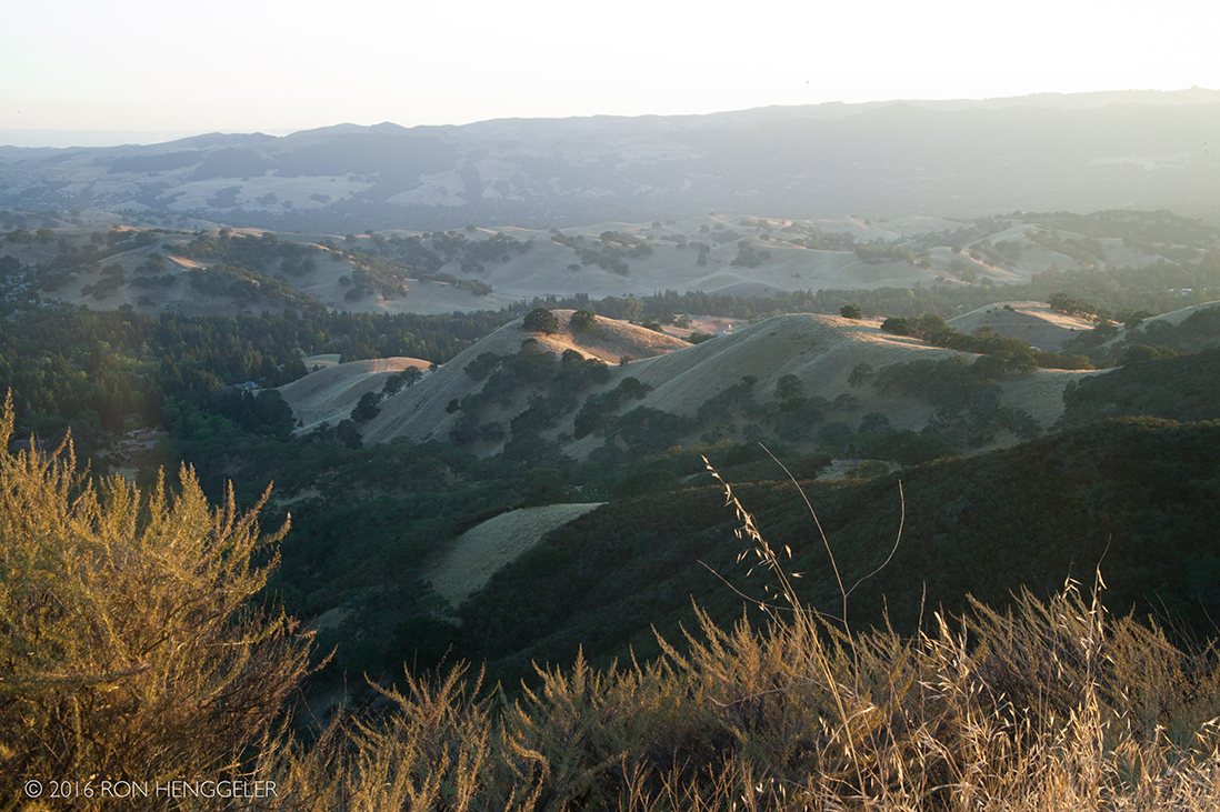
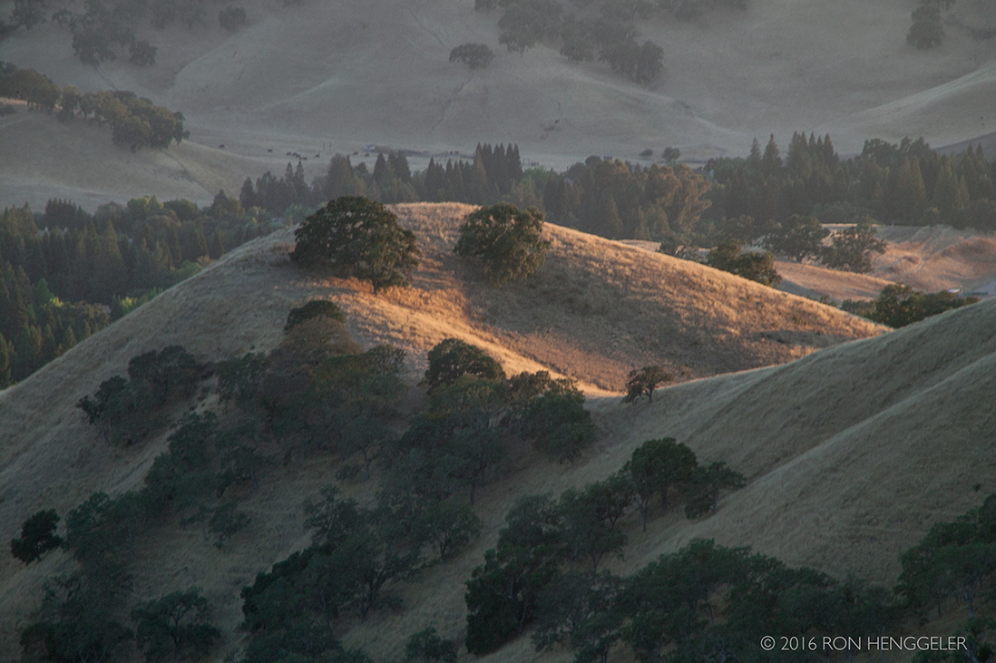
Leaving the mountain after spending an afternoon exploring Rock City, we drive through a landscape bathed in the light of a low setting sun |
|
|
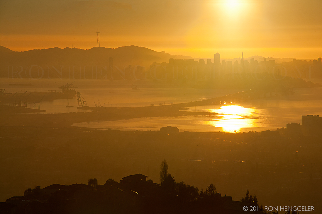
A view of San Francisco from the Grizzly Peak Road |


Newsletters Index: 2017, 2016, 2015, 2014, 2013, 2012, 2011, 2010, 2009, 2008, 2007, 2006
Photography Index | Graphics Index | History Index
Home | Gallery | About Me | Links | Contact
© 2017 All rights reserved
The images are not in the public domain. They are the sole property of the
artist and may not be reproduced on the Internet, sold, altered, enhanced,
modified by artificial, digital or computer imaging or in any other form
without the express written permission of the artist. Non-watermarked copies of photographs on this site can be purchased by contacting Ron.