RON HENGGELER |
March 16, 2017
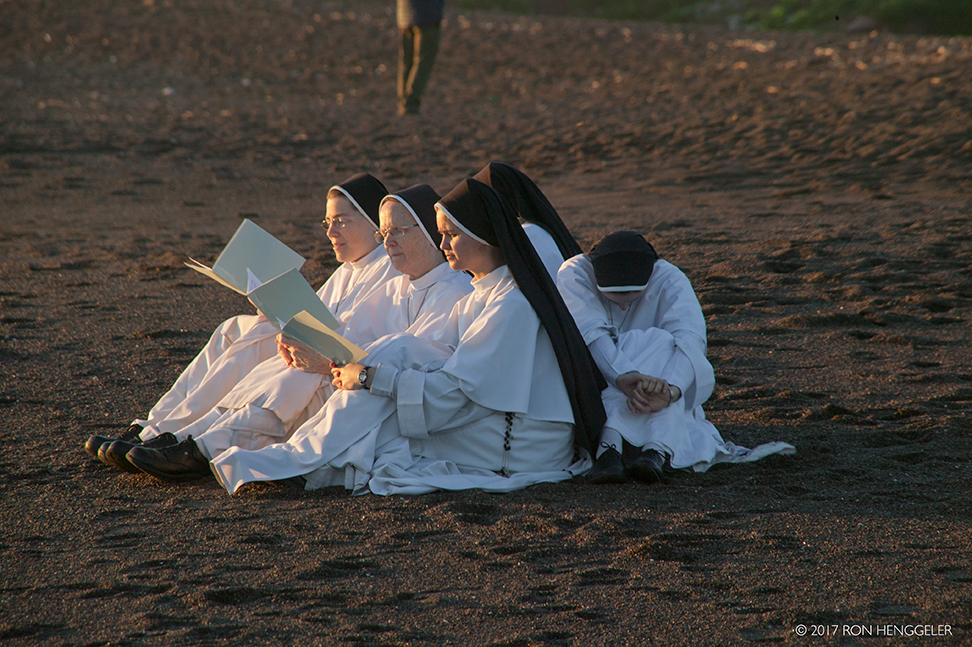
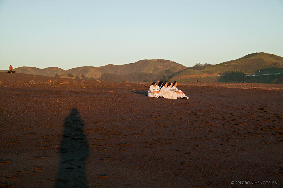
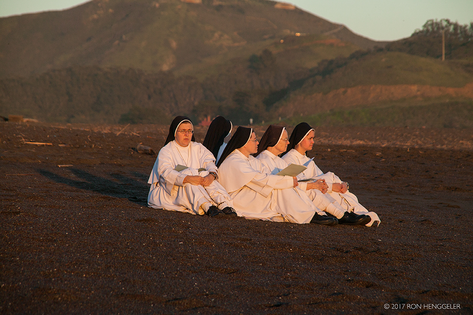
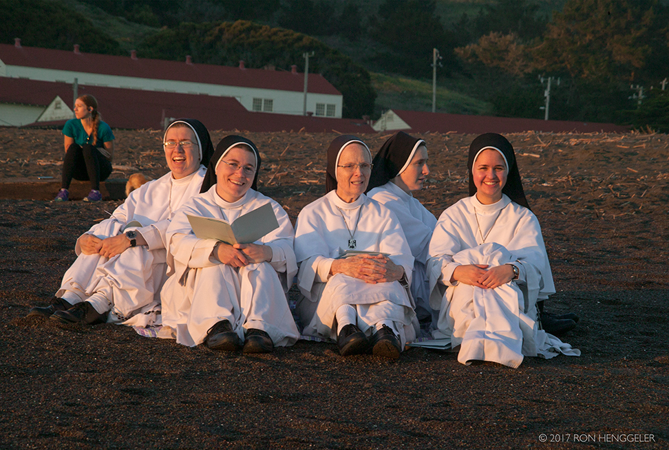
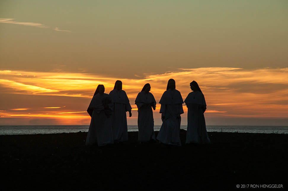
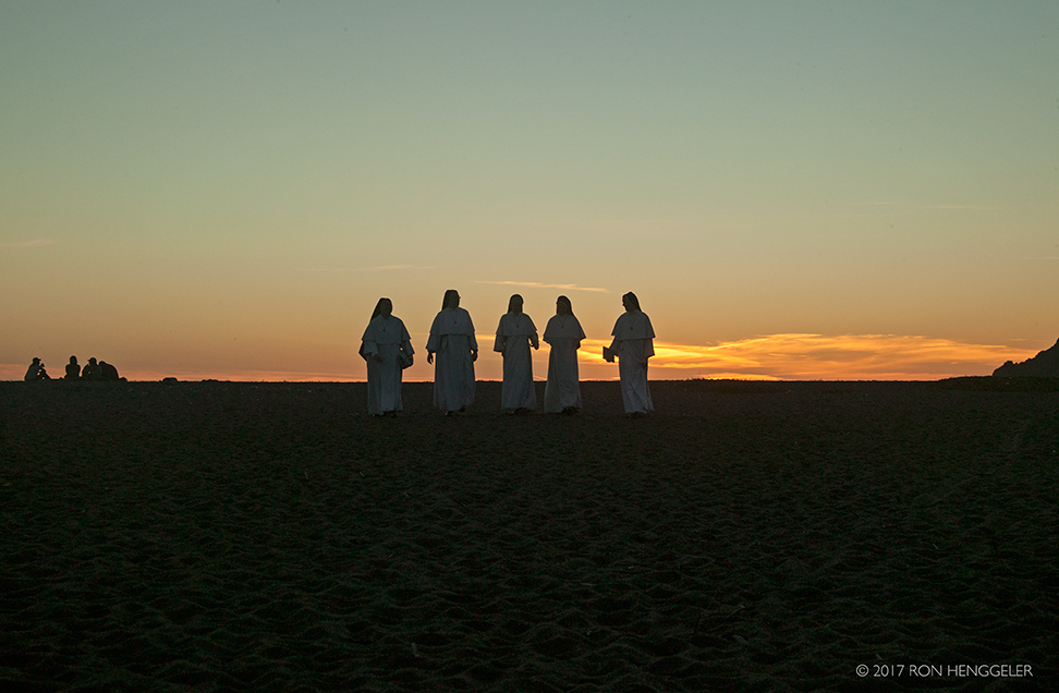
A beautiful Spring-like day, and a chance meeting with five nuns on Rodeo Beach in the Marin Headlands
On Monday, Dave and I drove to the Marin Headlands to watch the sunset.
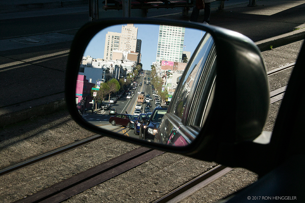
A view on California Street, looking back up to Nob Hill in the rear view mirror |
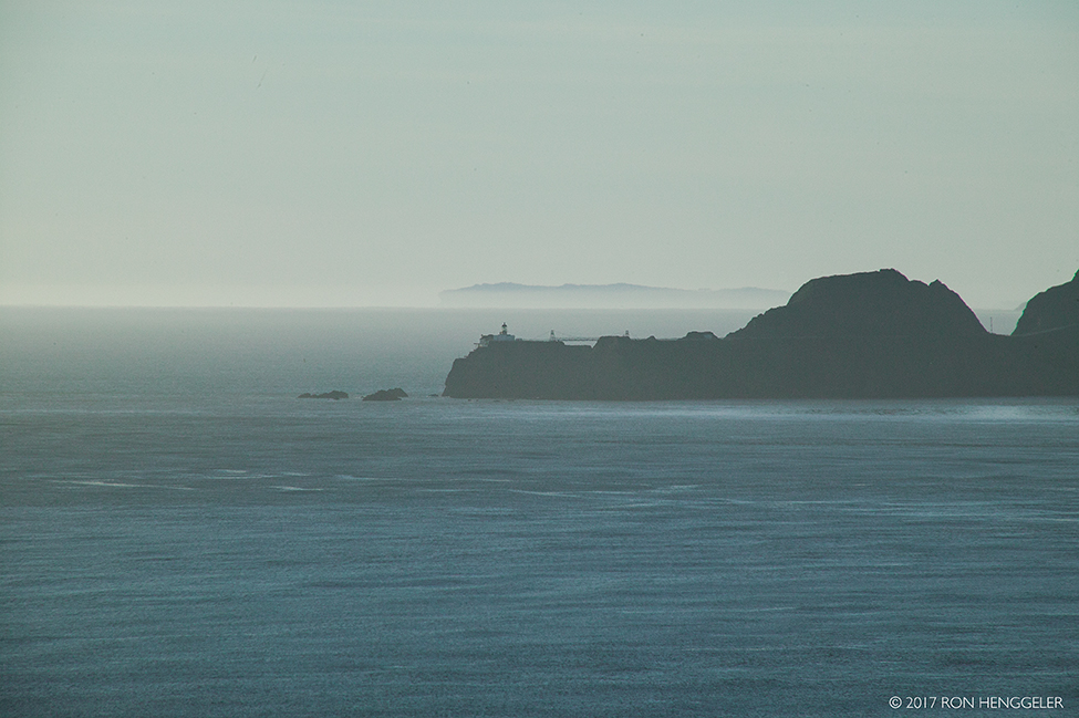
Point Bonita and the Point Bonita Lighthouse with the far-distant Duxbury Point at Bolinas Bay, as seen from Lincoln Blvd in the San Francisco PresidioWith the discovery of gold in 1848, California and the world changed forever. Soon, San Francisco became the main port for gold seek- ers from around the globe. In 1849, the city’s population leaped from 900 to 20,000!To lead the new settlers and explorers safely through the dangerous waters of the Bay entrance, a system of lighthouses developed. Alcatraz’s light showed the way for ships directly in front of the Golden Gate and Fort Point’s lighthouse marked the southern edge of San Francisco Bay, but another lighthouse was needed north of the Golden Gate to make the entrance recognizable for ships sailing up the coast from the south. That lighthouse site became Point Bonita.Point Bonita Lighthouse, the third lighthouse on the West Coast, was completed in 1855.https://www.nps.gov/goga/upload/sb-pobo.pdf |
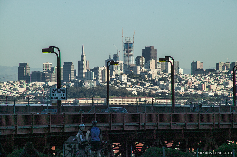
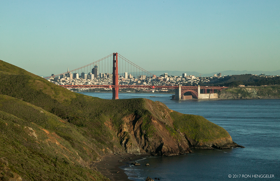
A veiw of San Francisco from the North Tower Golden Gate Bridge Parking Lot |
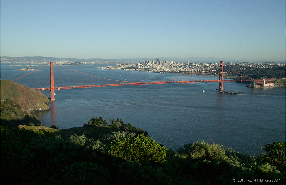
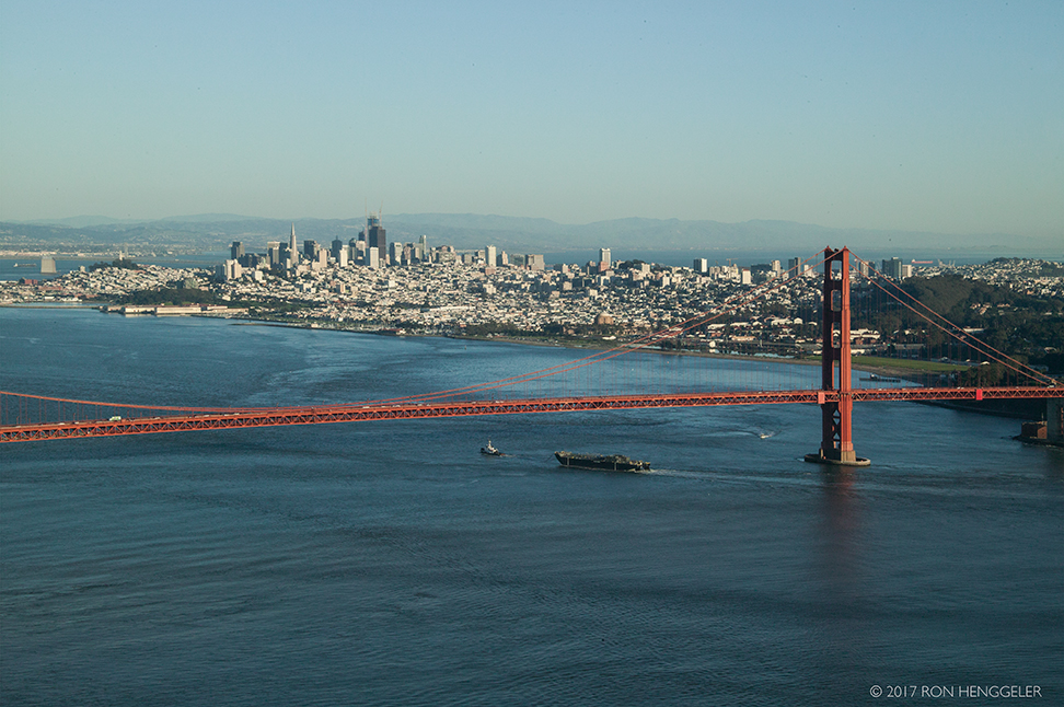
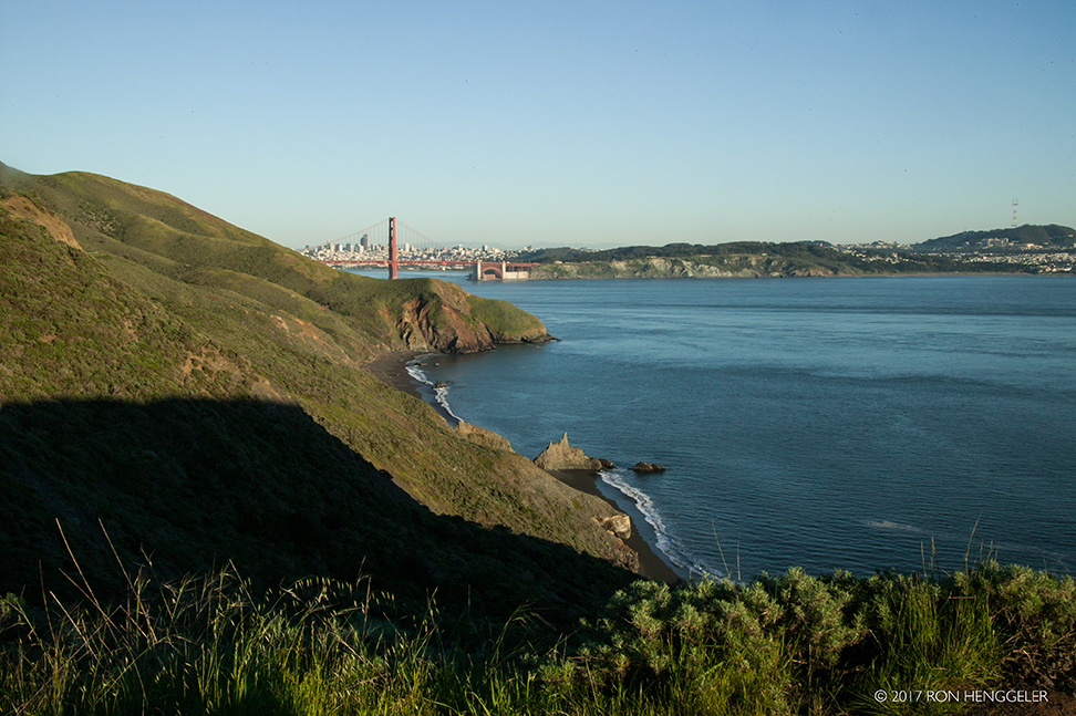
The view of the Golden Gate and distant San Francisco from Hawk Hill in the Marin Headlands. |
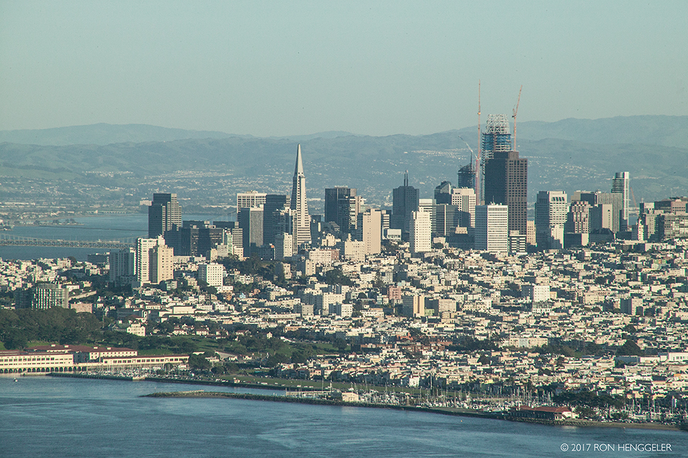
A 300mm lens view from the Marin Headlands of the far-distant San Francisco skyline and showing the Salesforce Tower under construction |
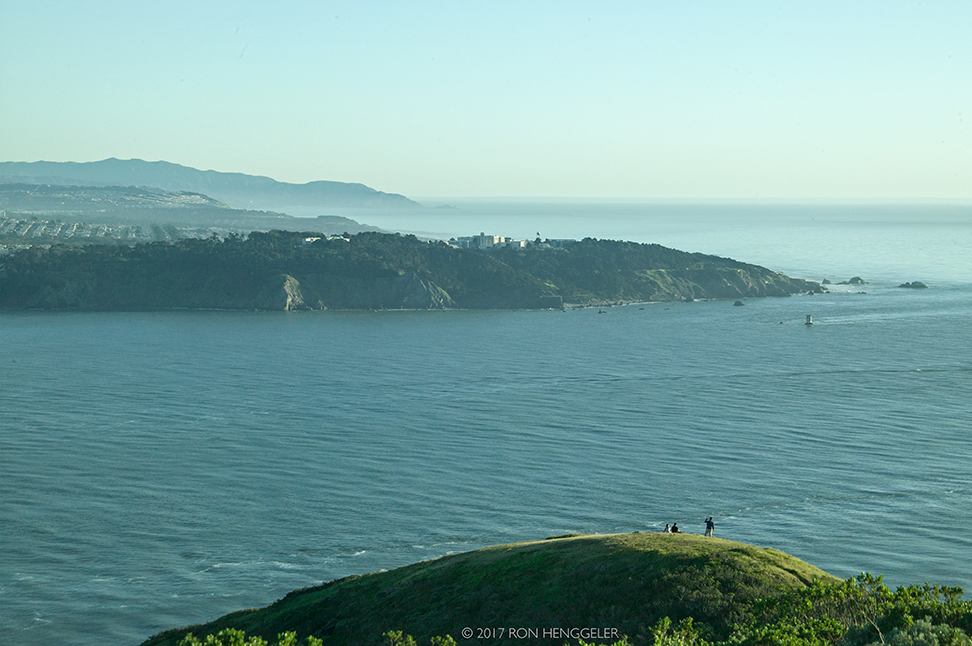
A distant Lands End, Seal Rocks, and Mile Island Lighthouse as seen from the Conzelman Road in the Marin Headlands |
San Francisco as seen from Hawk Hill on the Conzelman Road in the Marin Headlands |
The great expanse of the Pacific and a view of the distant Point Bonita (on the right) as seen on the Conzelman Road in the Marin Headlands. |
An espied view of San Francisco, The Gate, and the distant Golden Gate Bridge viewed from Point BonitaPoint Bonita is located at the northern entrance to the San Francisco Bay. The original name was in fact "Point Boneta" - a reference to the resemblance of the area hills to the hats worn by Spanish religious officials. (Early lighthouse plans are still labeled "Point Boneta.") In the early 1850's, when lighthouse construction began, there was still no marker at Point Bonita. In 1853 the steamship Tennessee ran aground just north of Point Bonita (at what is now Tennessee Cove). The clipper ship San Francisco struck the rocks of Point Bonita and sank in 1854. |
|
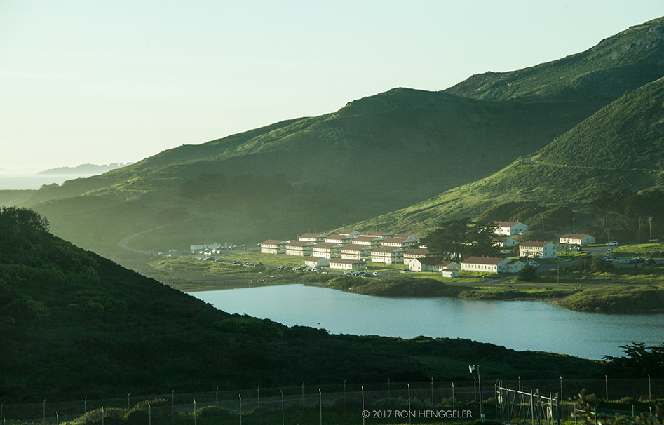
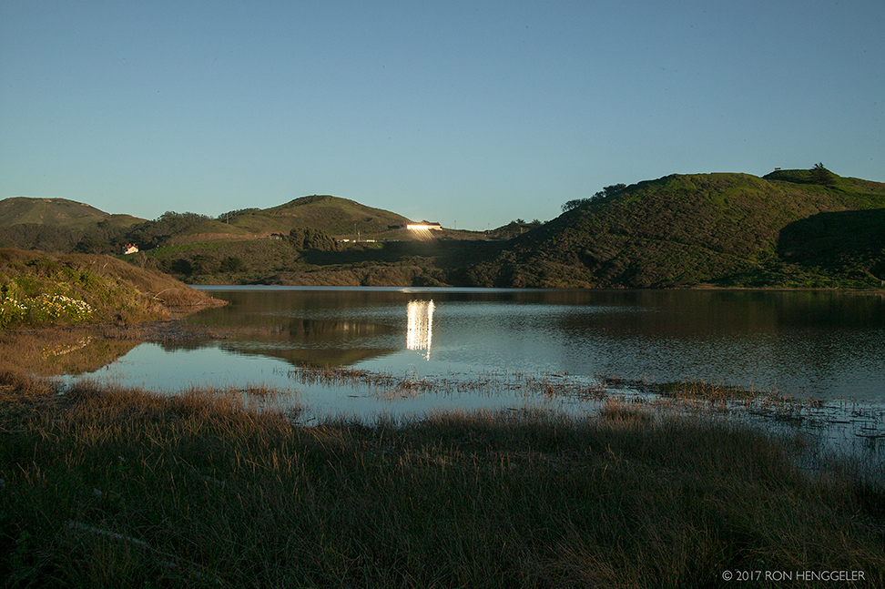
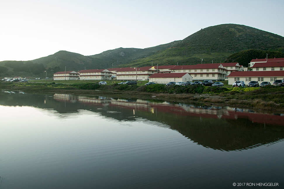
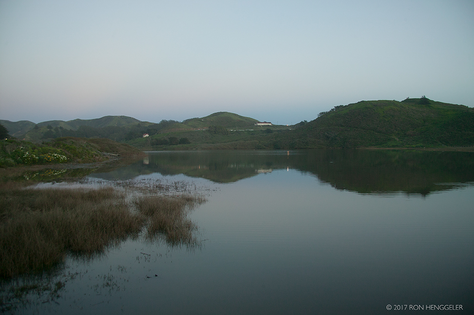
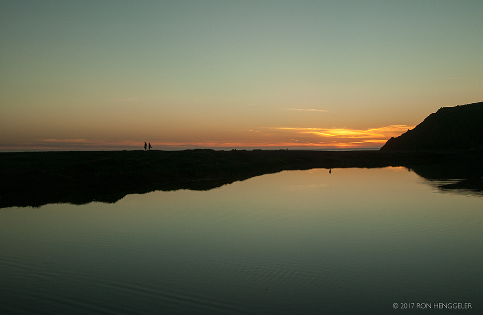
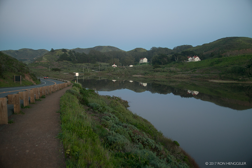
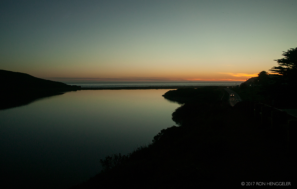
Rodeo Lagoon in the Marin Headlands |
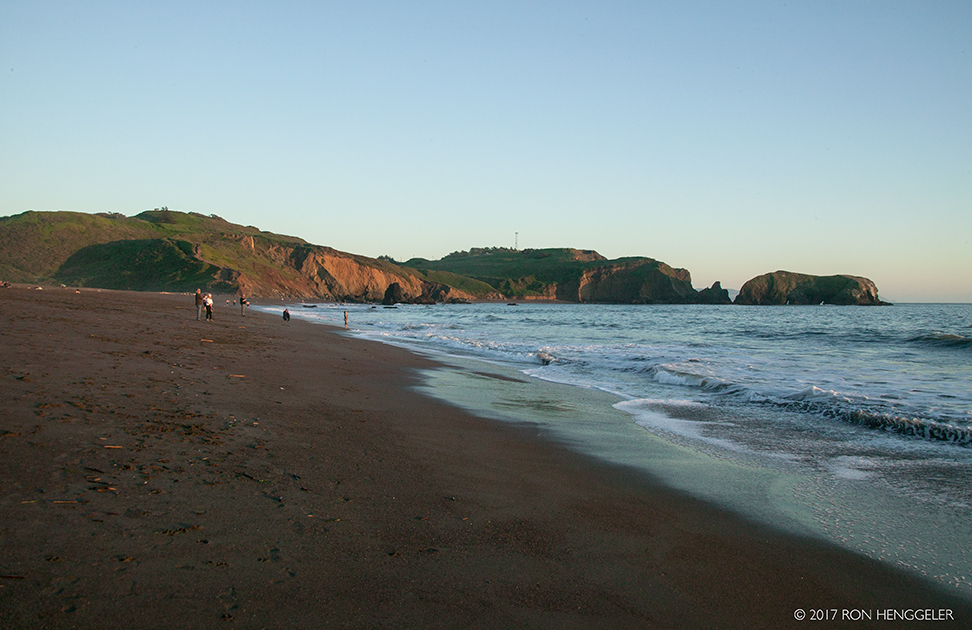
Rodeo Beach in the Marin Headlands |
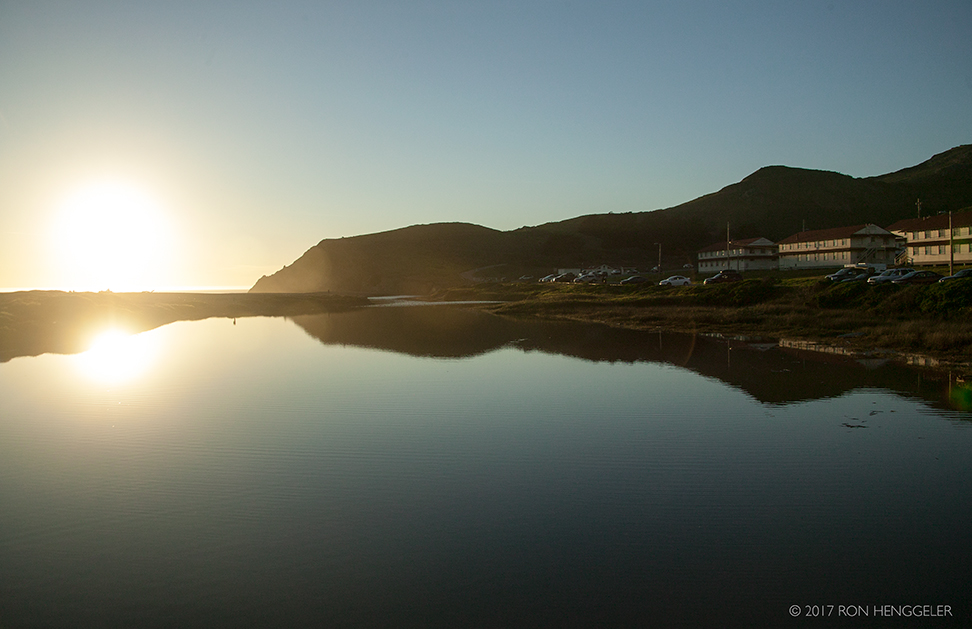
The low-setting sun's light reflecting on a building and being cast on the still waters of Rodeo Lagoon |
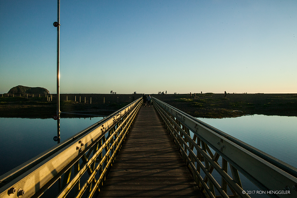
The bridge across the Rodeo Lagoon to Rodeo Beach |
Rodeo Lagoon |
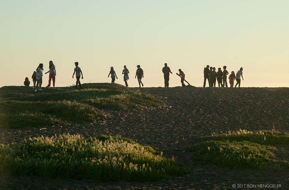
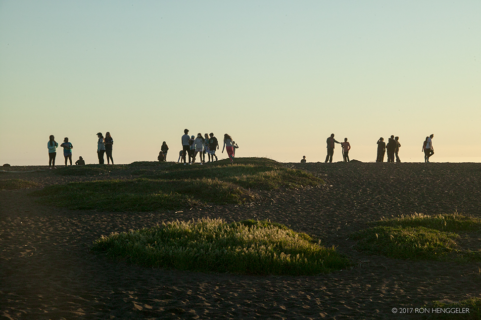
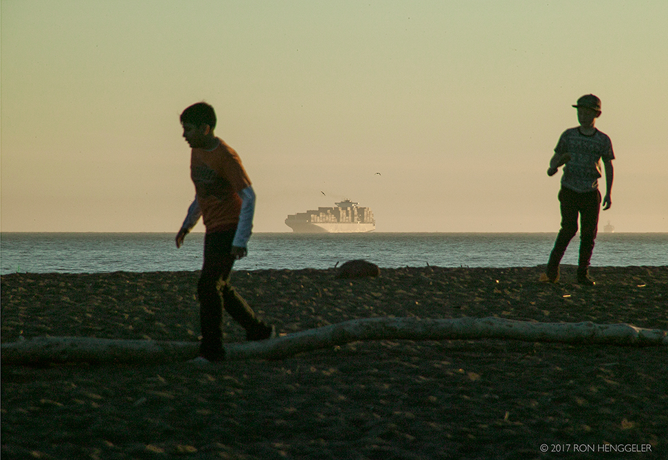
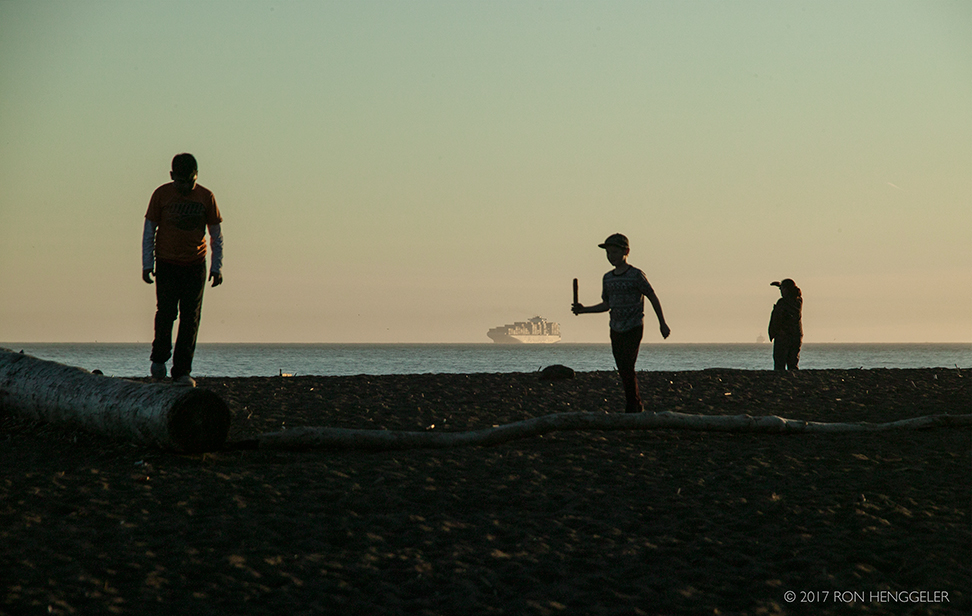
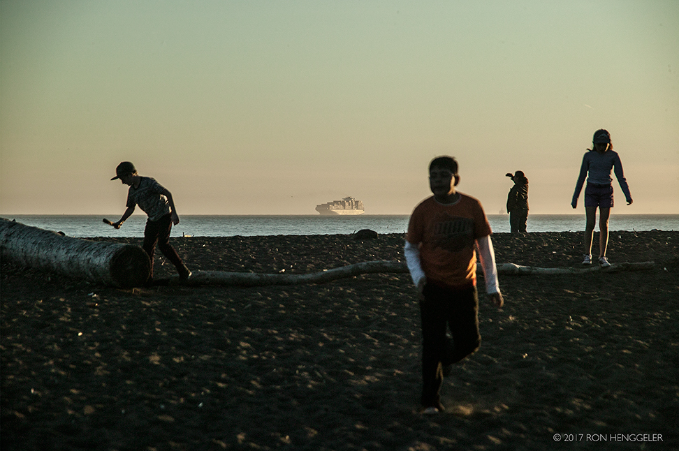
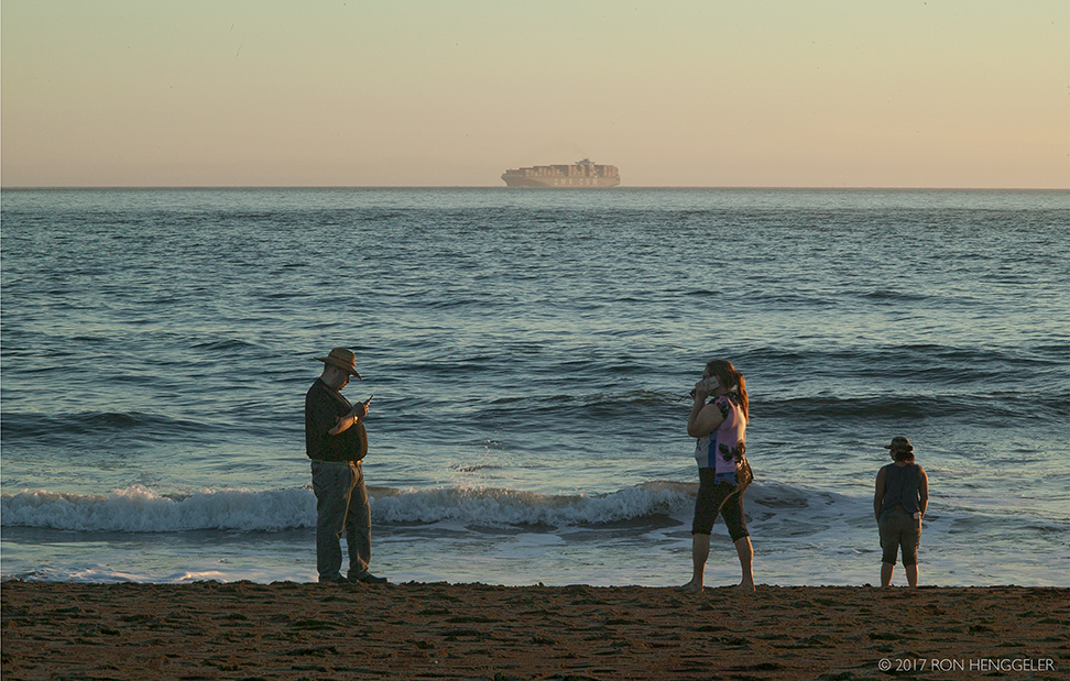
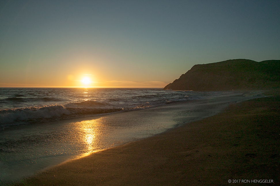
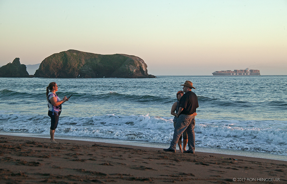
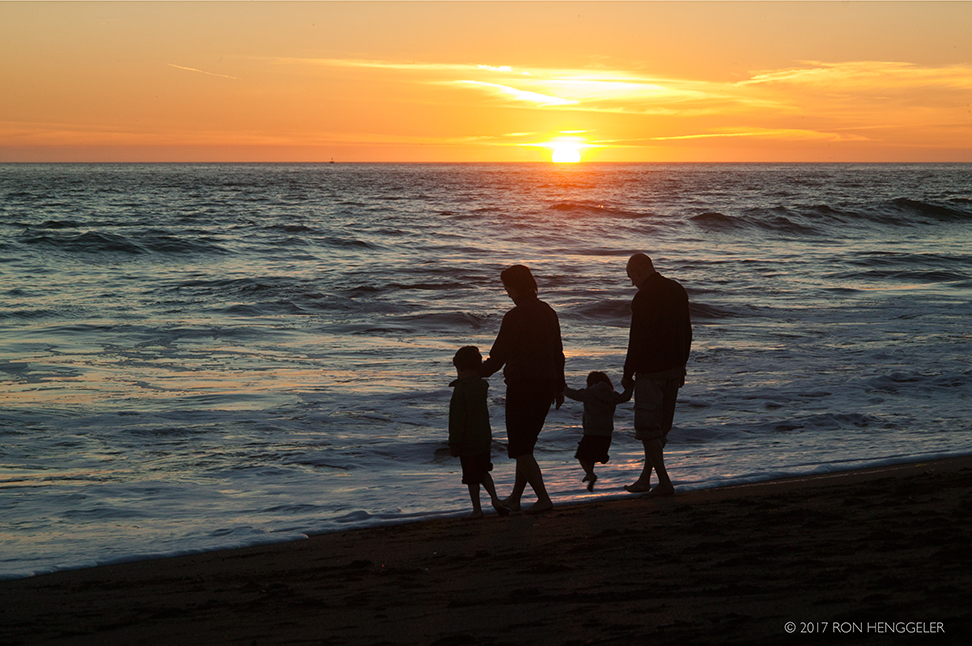
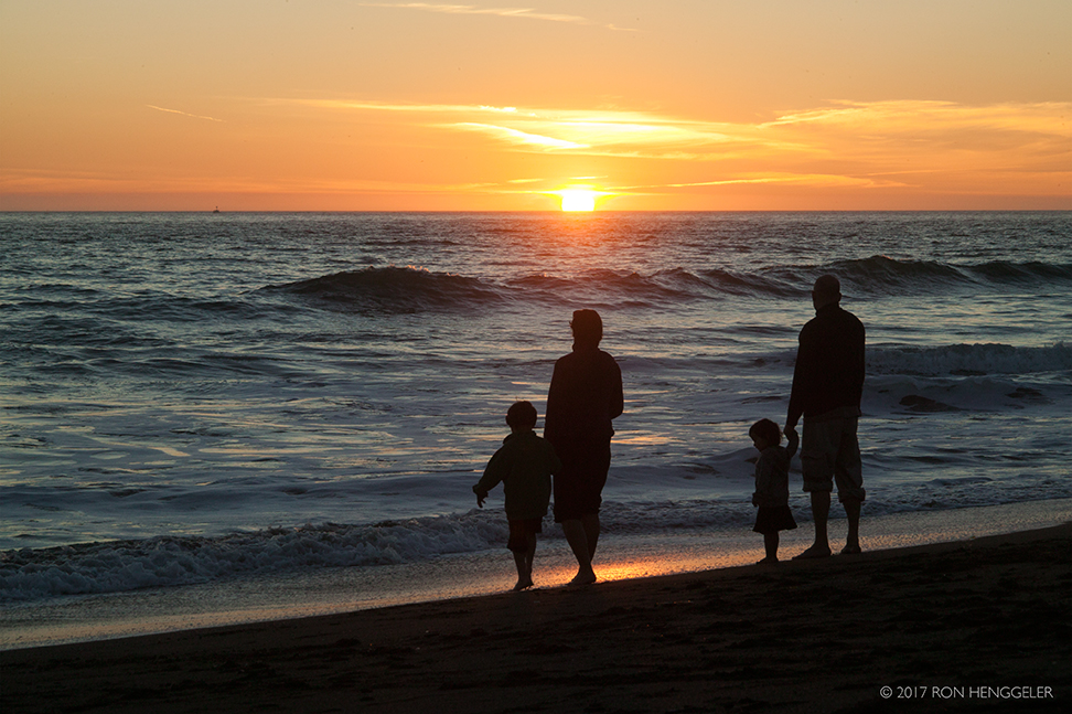
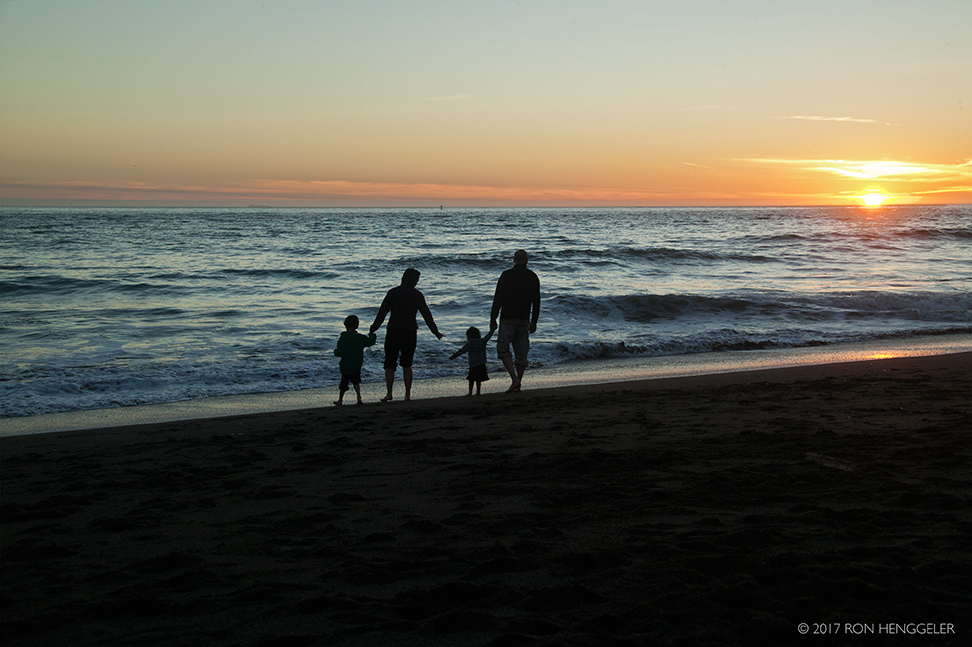
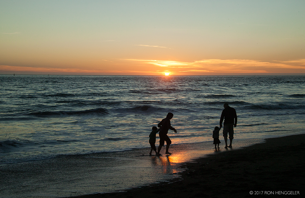
Rodeo Beach |
Rodeo Beach |
|
|
|
|
|
|
|
Windswept, exhilarating, and covered with unique red and green pebbles, this Rodeo Beach each is just three miles northwest of the Golden Gate Bridge. Sheltered by cliffs and bounded by a lagoon, it offers good picnic sites and is ideal for kite flying or just watching the roaring Pacific.Two military forts once guarded these shores. Fort Barry and Fort Cronkhite—whose structures now serve as National Park Service facilities—were once nerve centers of Marin Headlands military activities long ago.http://www.parksconservancy.org/visit/park-sites/rodeo-beach.html |
Rodeo Beach in Sausalito, CaliforniaRodeo Beach is a wide sandy beach on the sand spit that separates Rodeo Lagoon from Rodeo Cove on the west side of the Marin Headlands in Golden Gate National Recreation Area. The beach is dark colored and made up of small pebbly stones in brown, red, green, and blue. It’s a popular spot as it is close to San Francisco and easy access for both locals and tourists. Walk to the south end of the beach to see rocks in the surf that are frequently photographed. Bird Rock is offshore and has a small arch in the center. With binoculars you can see the birds on the rock but Rodeo Lagoon is the best spot for birdwatching. To get here follow signs to Marin Headlands Visitors Center and then turn west on Bunker Road. Then look for signs to the Rodeo Beach parking lot and picnic area. From the parking area trails go north along the bluff to coastal overlooks and south to various military batteries and South Rodeo Beach. |
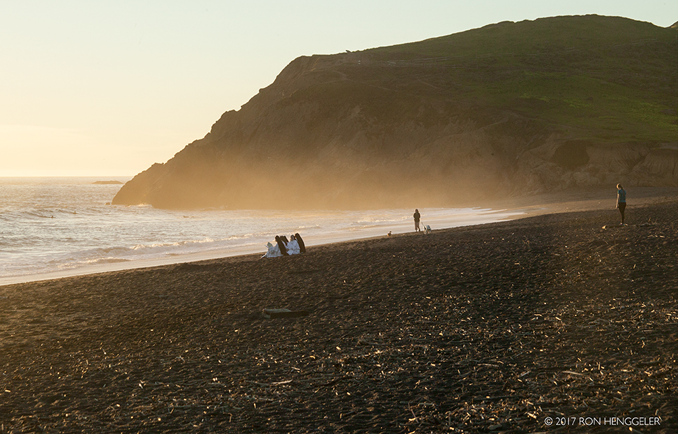
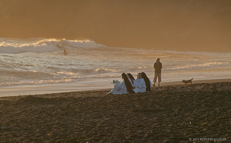
On Rodeo Beach . . . Dominican Sisters of Mary, Mother of the Eucharisthttps://www.sistersofmary.org |
|
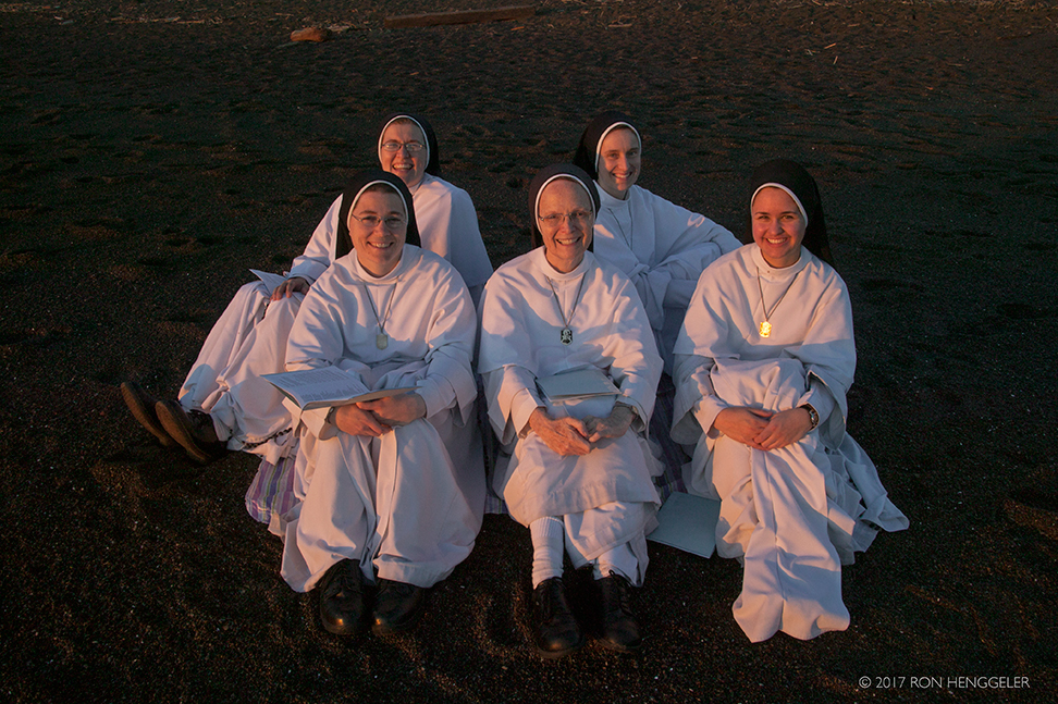
On Rodeo Beach . . . Dominican Sisters of Mary, Mother of the Eucharisthttps://www.sistersofmary.org |
|
The distant Bird Rock as seen from Rodeo Beach |
|
|
|
|
|
|
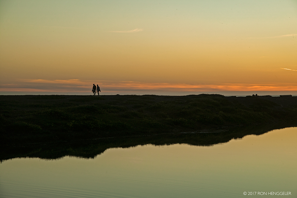
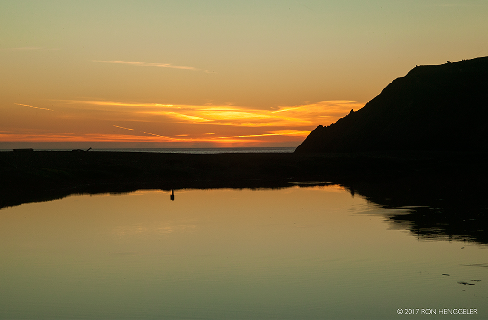
Rodeo Lagoon |
Rodeo Lagoon |
Rodeo Lagoon |
Rodeo Lagoon |
|
Rodeo Lagoon |
Rodeo Lagoon |

Newsletters Index: 2017, 2016, 2015, 2014, 2013, 2012, 2011, 2010, 2009, 2008, 2007, 2006
Photography Index | Graphics Index | History Index
Home | Gallery | About Me | Links | Contact
© 2017 All rights reserved
The images are not in the public domain. They are the sole property of the
artist and may not be reproduced on the Internet, sold, altered, enhanced,
modified by artificial, digital or computer imaging or in any other form
without the express written permission of the artist. Non-watermarked copies of photographs on this site can be purchased by contacting Ron.