RON HENGGELER |
April 6, 2017
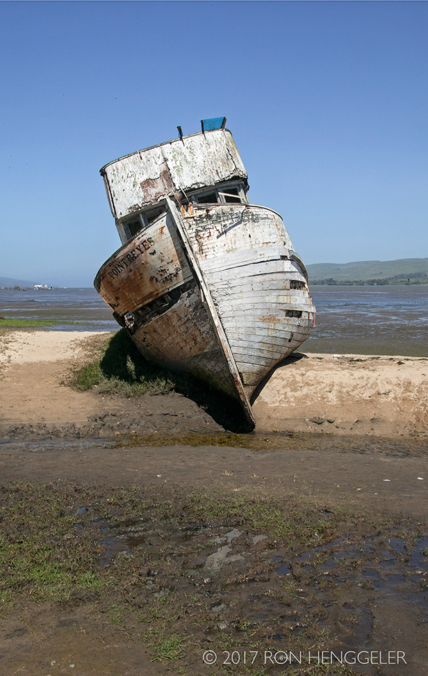
The burned hull of the iconic Point Reyes, and a road trip to the Point Reyes National Seashore
On Monday, Dave and I drove north of San Francisco and visited the Point Reyes National Seashore.
The landscape at Point Reyes this spring is incredibly lush and intensely green because of the copious rains we had this winter.
Here are some of the photos from our day at Point Reyes.
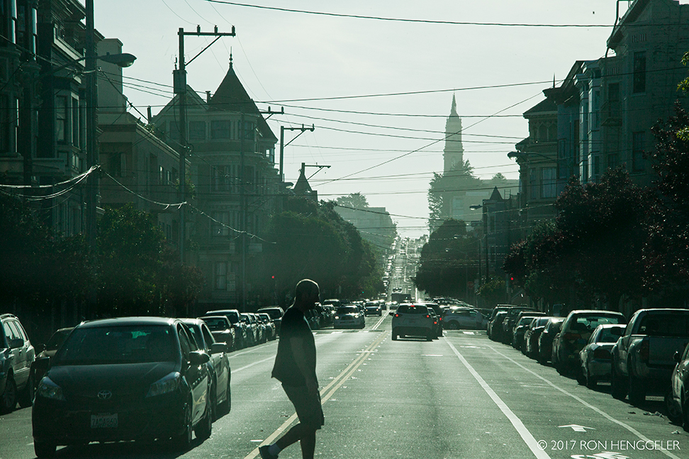
On Fulton Street at Baker heading west with the steeple of Saint Ignatius at the top of the hill in the distance |
|
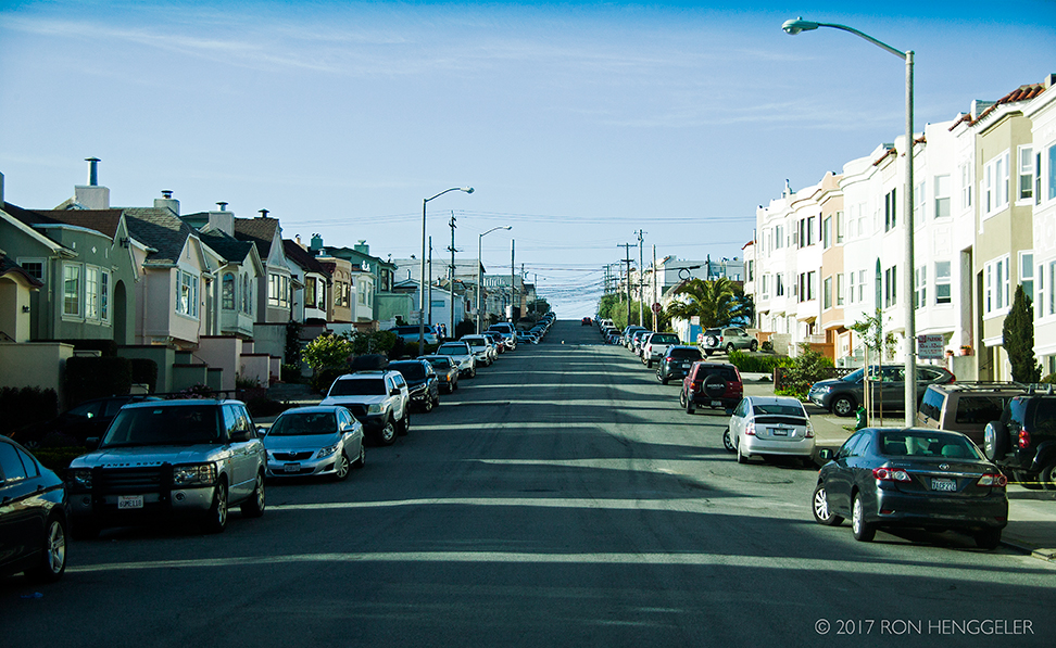
The view from Fulton Street looking north up 33rd Avenue in San Francisco |
|
34th Avenue in Lincoln Park on the approach to the Palace of the Legion of Honor in San Francisco |
|
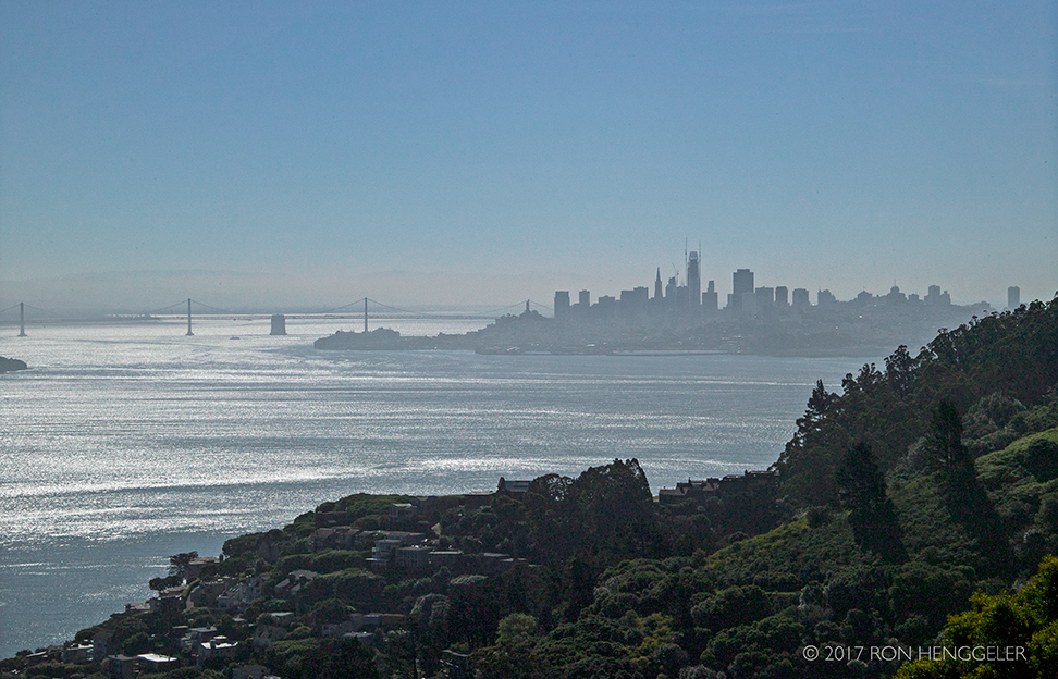
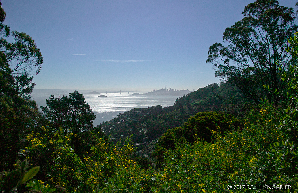
A morning view of San Francisco from the exit off of Highway 101 at Wolfback Ridge Road in Sausalito |
|
|
|
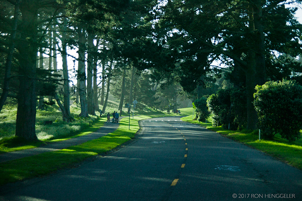
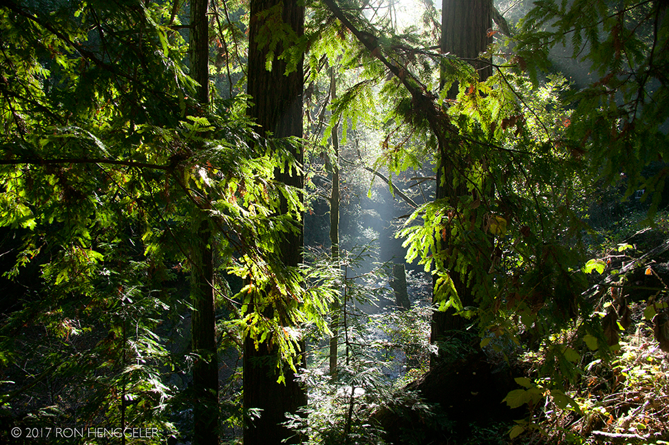
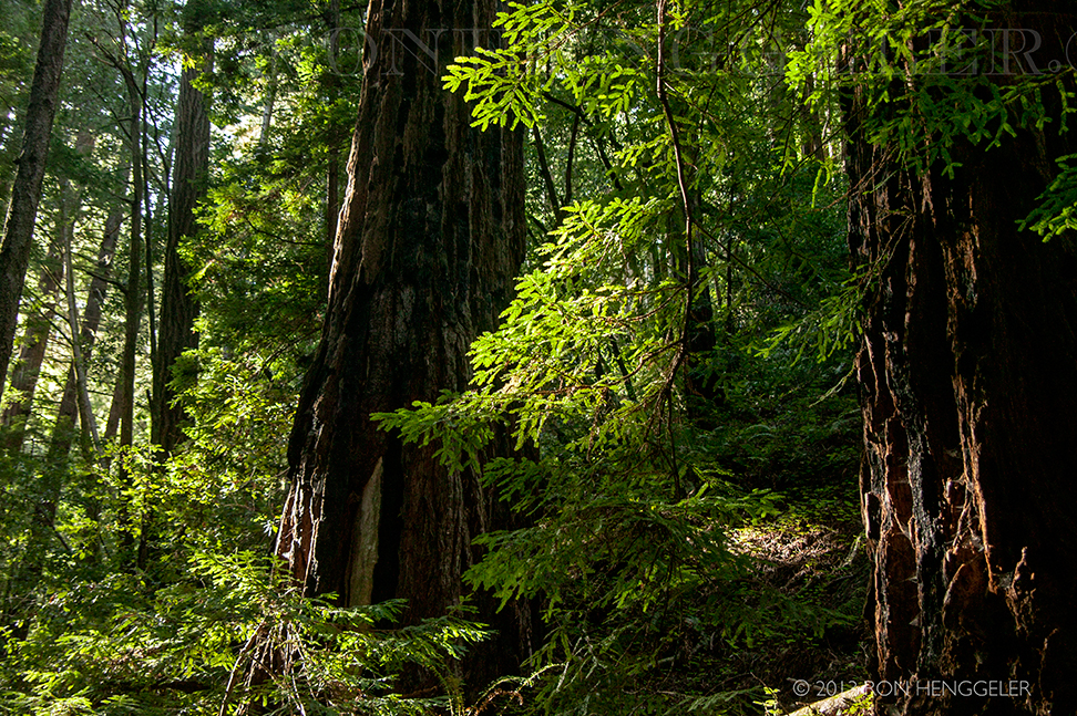
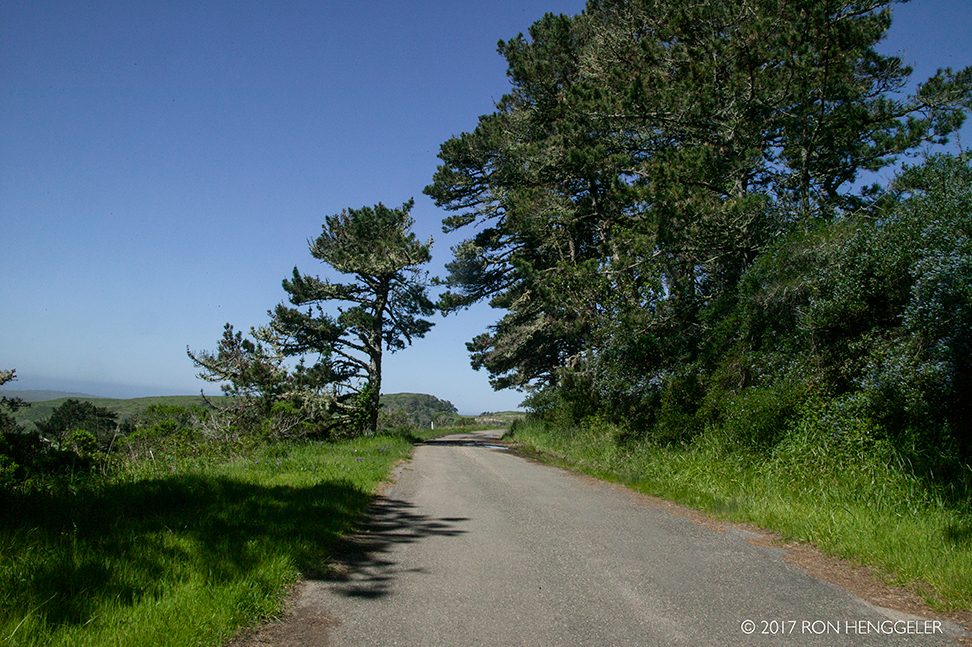
Morning sunlight in the redwoods on Sir Francis Drake Blvd. that runs through Samuel P. Taylor State Park |
|
|
|
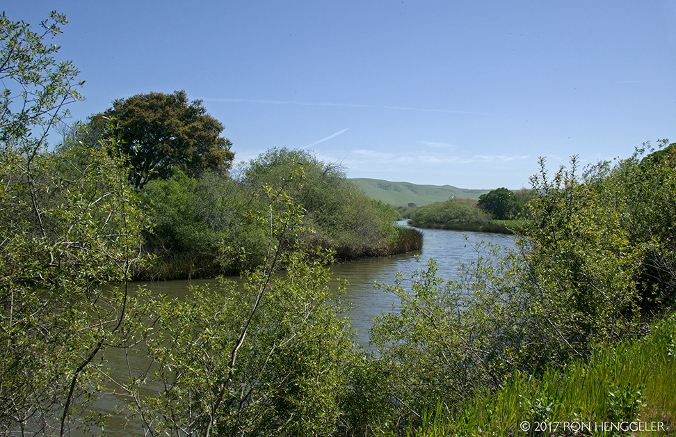
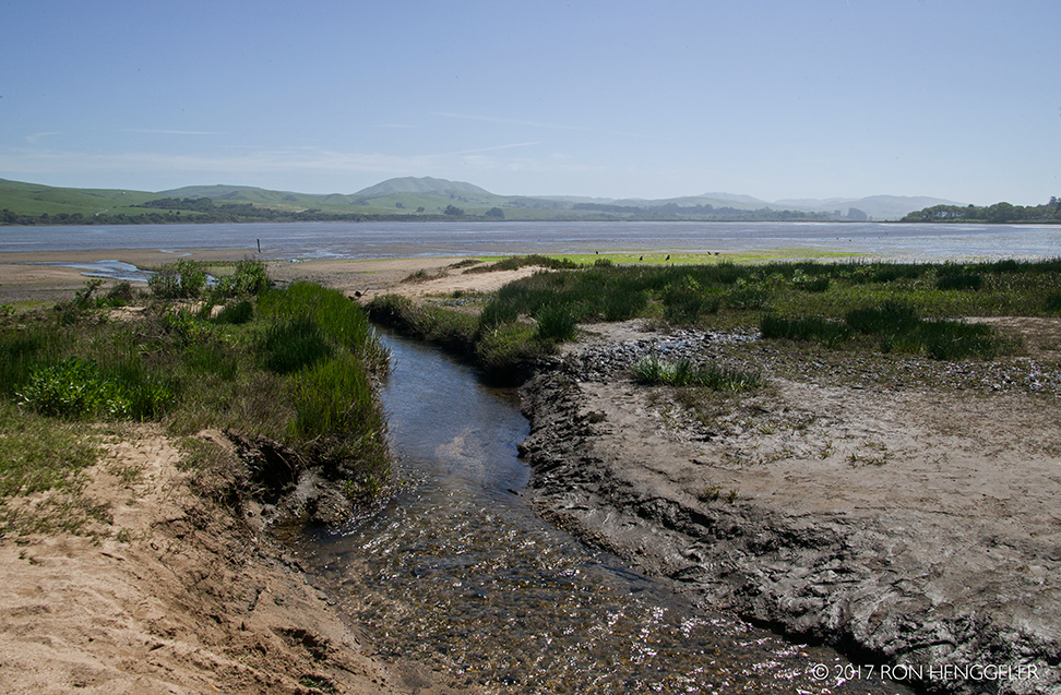
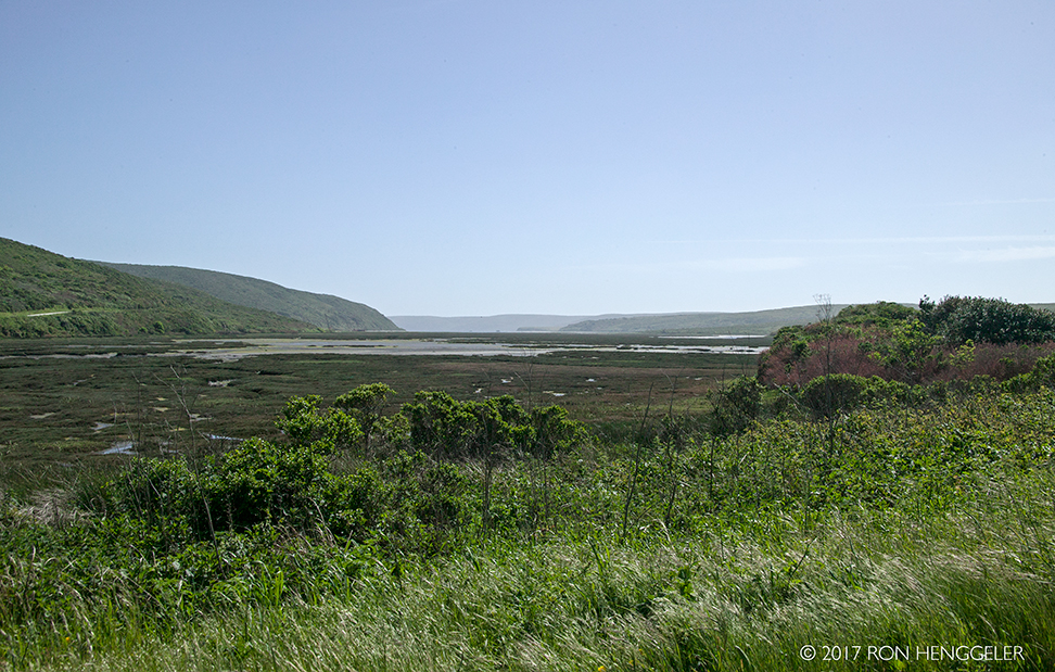
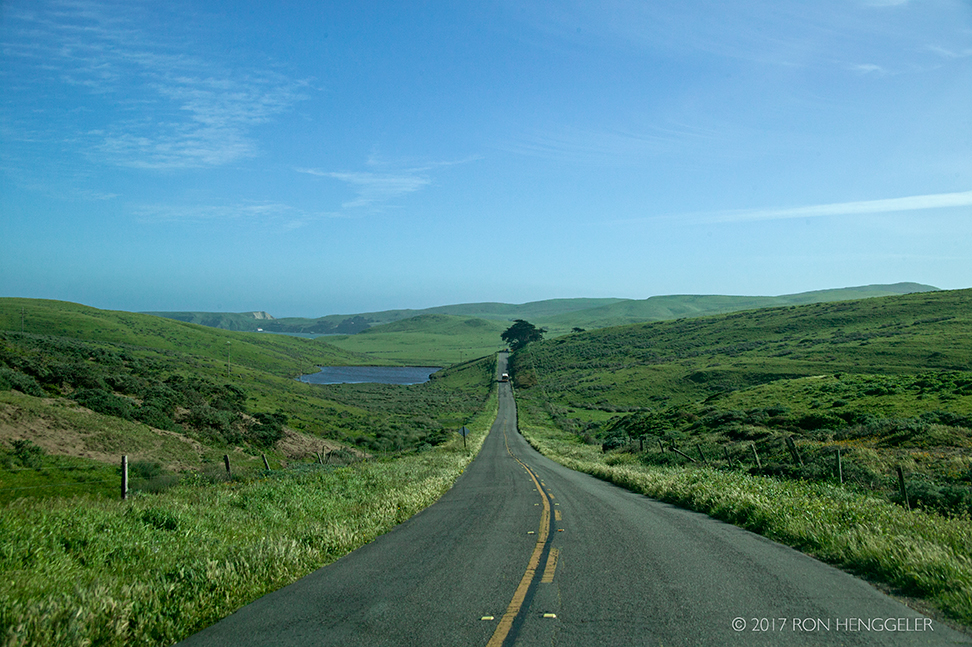
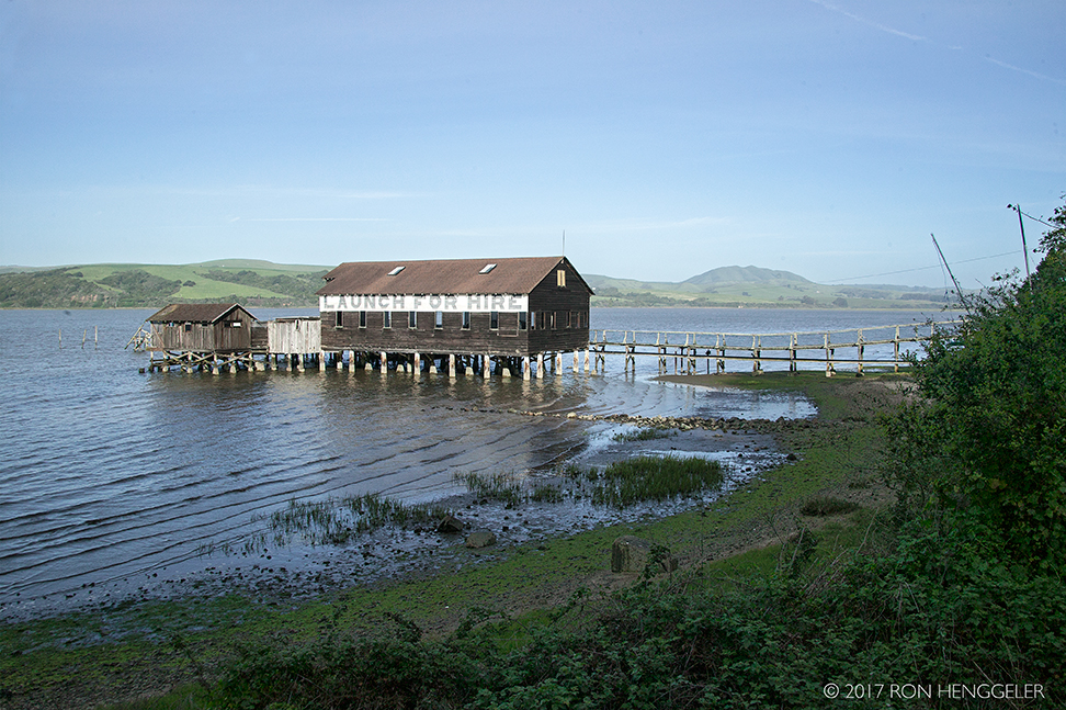
The Tomales Bay Ecological Reserve near Inverness viewed from the Sir Francis Drake Blvd. |
|
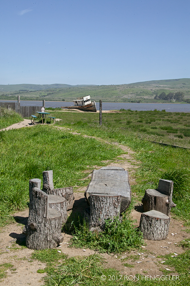
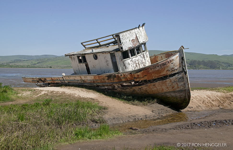
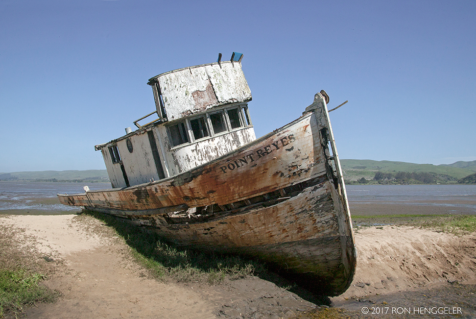
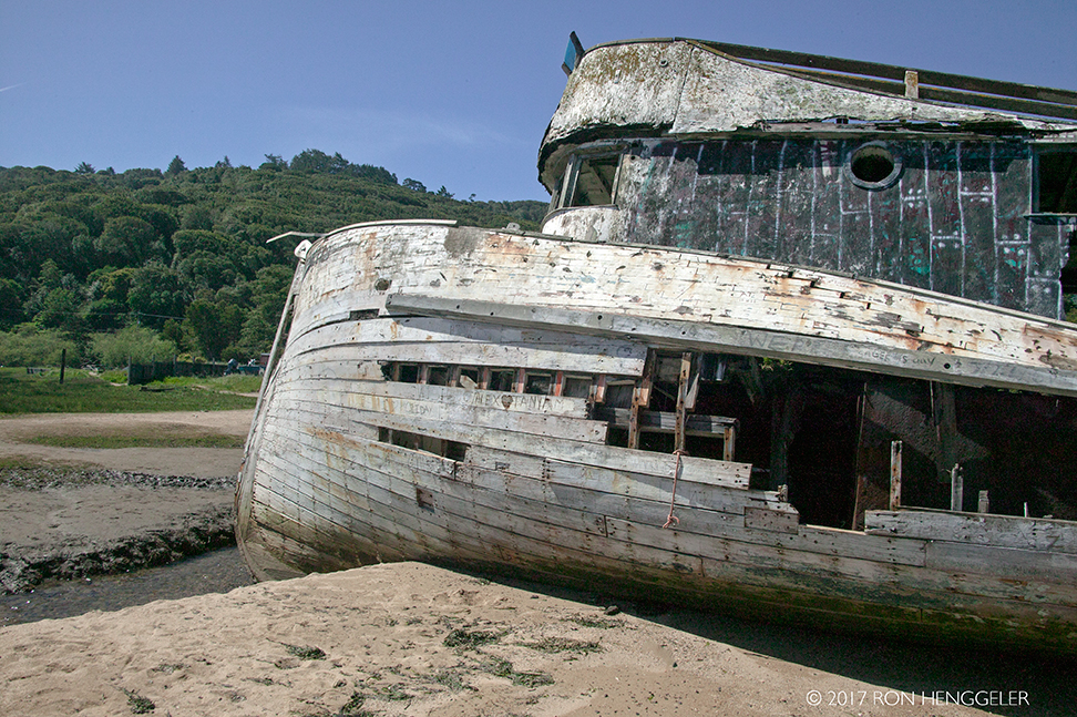
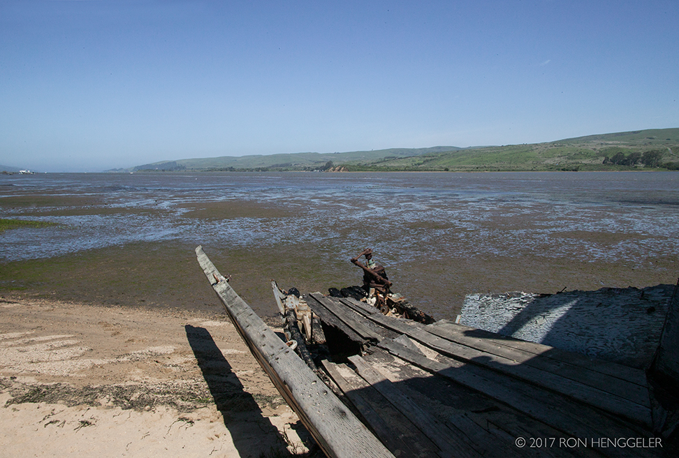
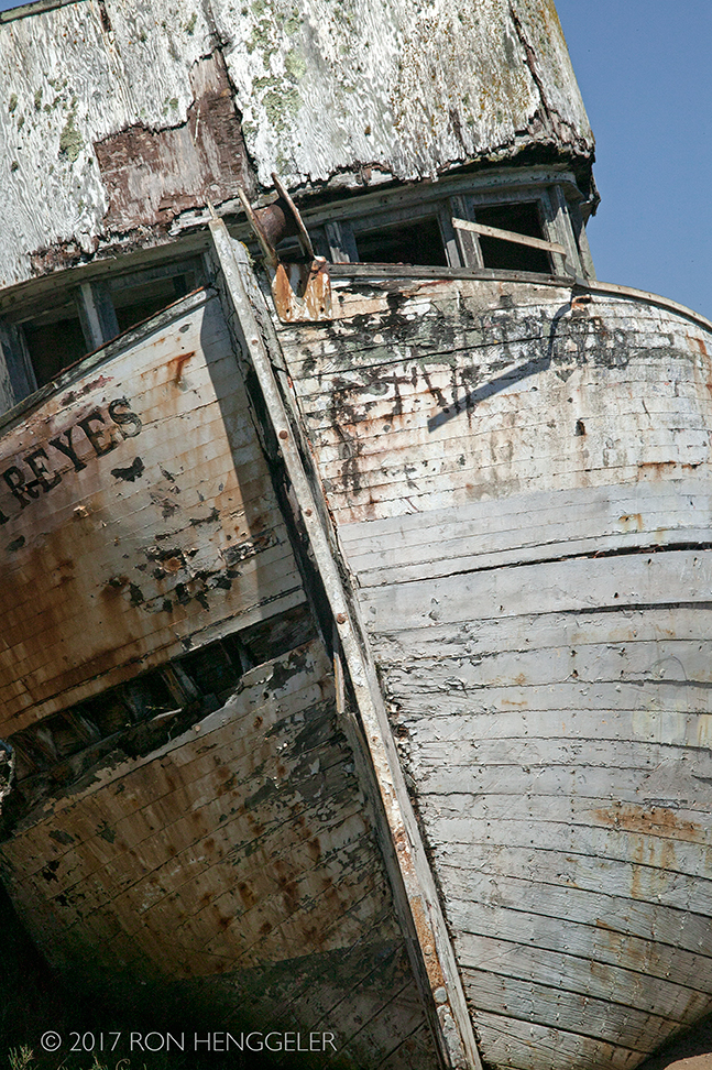
The shipwreck Point Reyes, a local landmark in the Inverness and Point Reyes area |
|
Point Reyes |
|
A recent fire last year damaged much of the iconic Point Reyes and caused much saddness and controversy among the locals. |
|
Iconic Shipwreck’s Fire Likely Caused by Light Painting Photographerhttps://petapixel.com/2016/02/23/iconic-shipwrecks-fire-likely-caused-light-painting-photographer/ |
|
LOCAL LANDMARK SHIPWRECK IN CALIFORNIA BURNT OUT FOR INSTAGRAMhttp://www.diyphotography.net/local-landmark-shipwreck-california-burnt-instagram-photo/ |
|
|
|
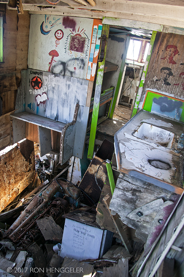
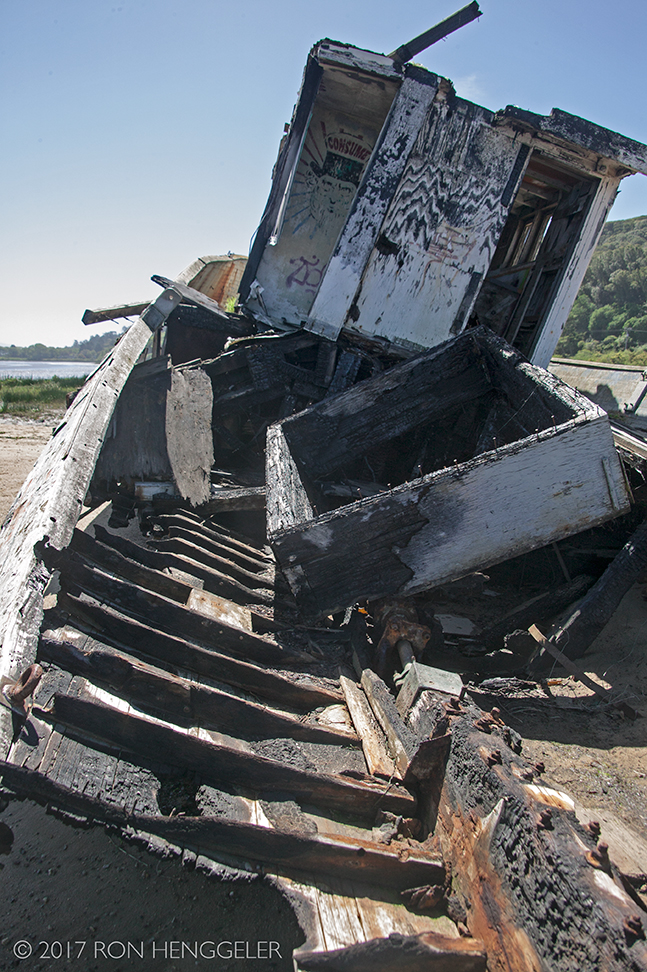
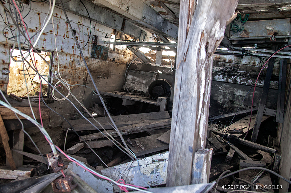
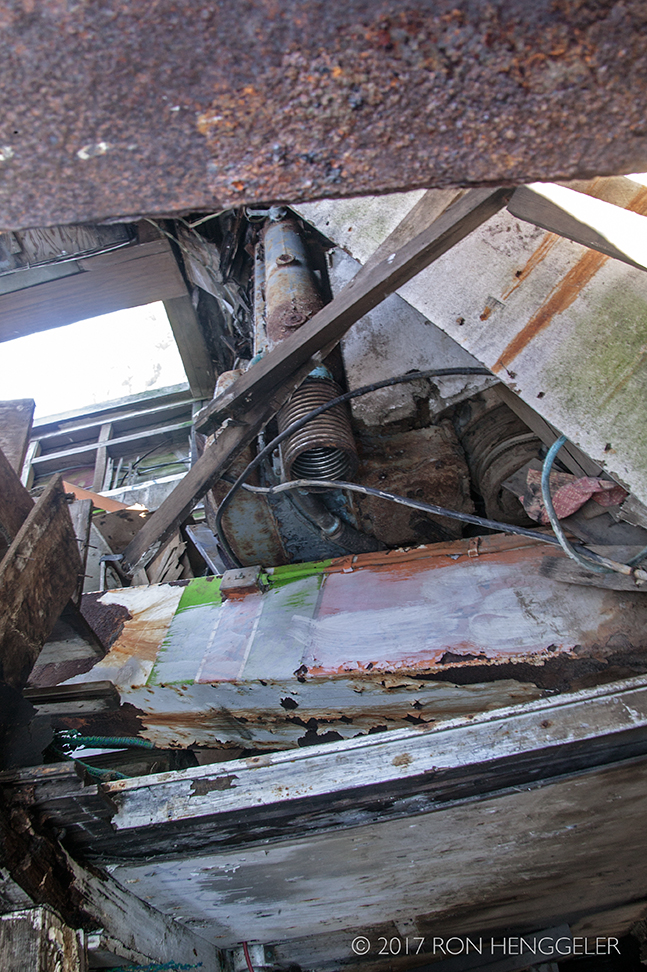
Interior of the Point Reyes |
|
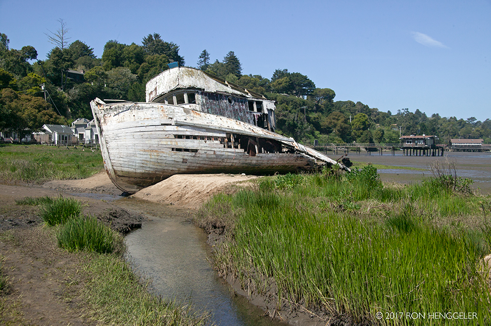
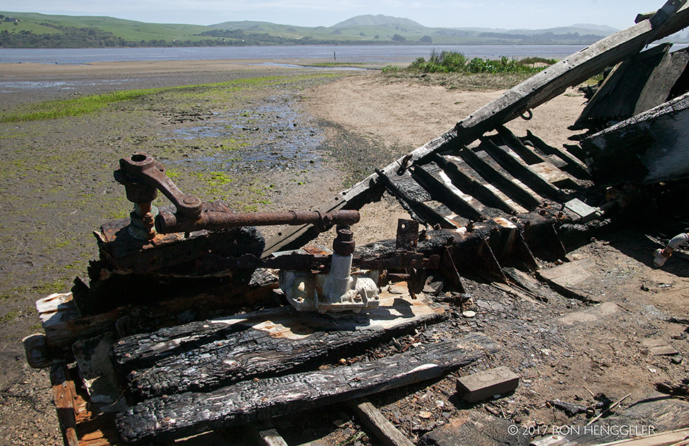
Tomales Bay and the stern of the Point Reyes |
|
|
|
|
|
Interior of the Point Reyes |
|
Interior of the Point Reyes |
|
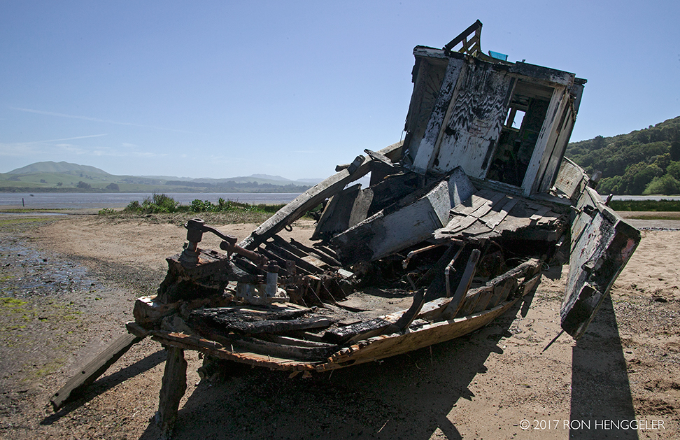
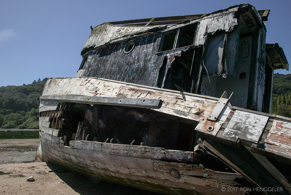
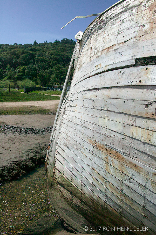
Bow of the Point Reyes |
|
A view of Tomales Bay at Inverness |
|
Wreck of the Point Reyes |
|
Bow of the Point Reyes |
|
|
|
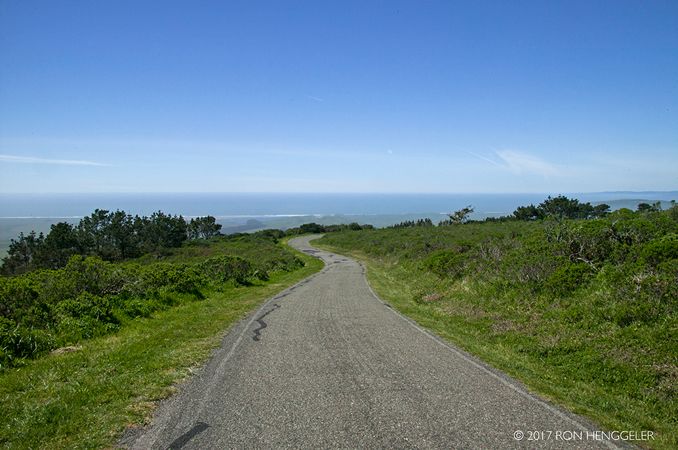
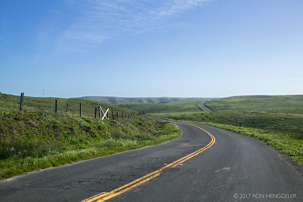
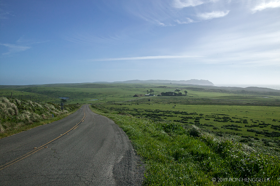
A view on the Mt. Vision Road near the summit of Mount Vision |
|
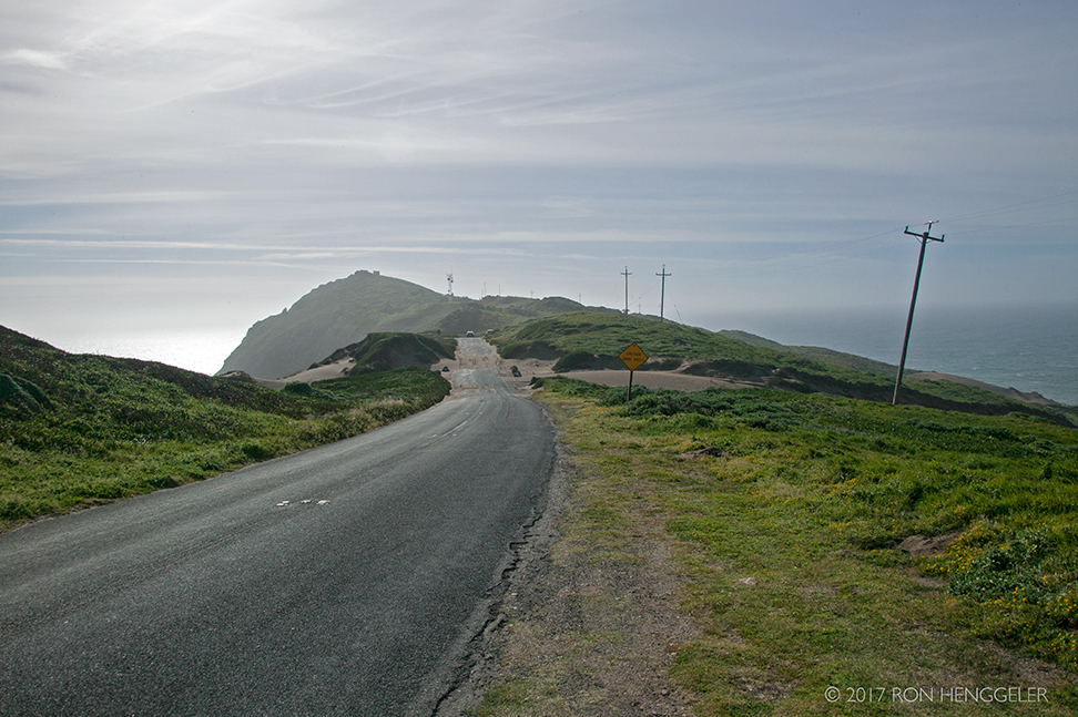
The road to Mount Vision in the Point Reyes National SeashoreElevation 1282 ft. |
|
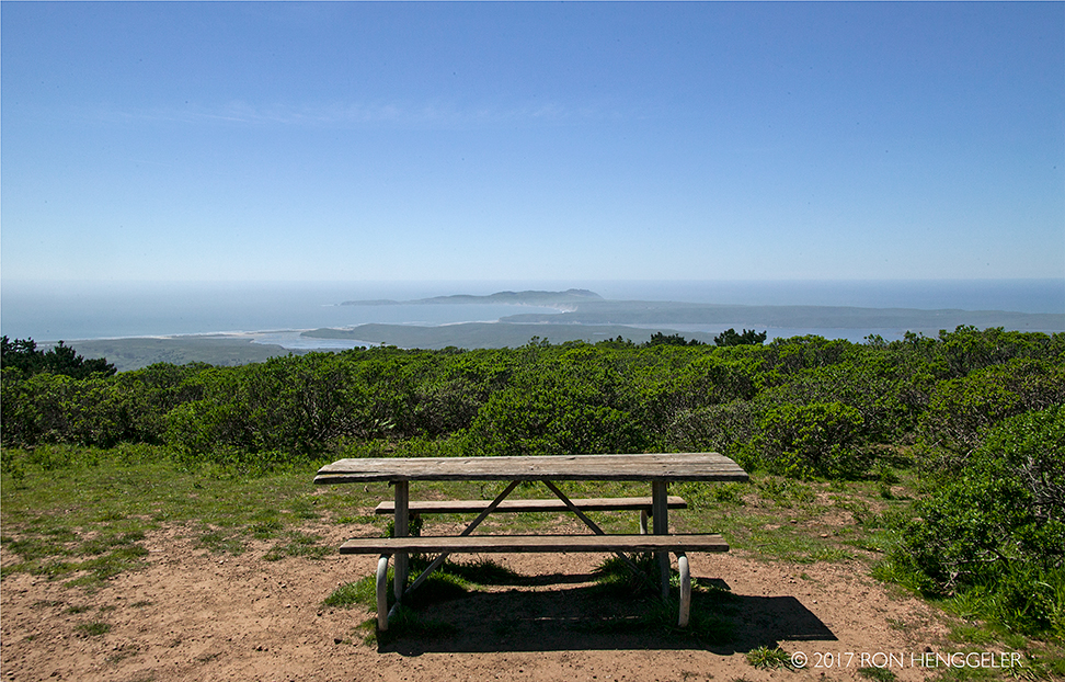
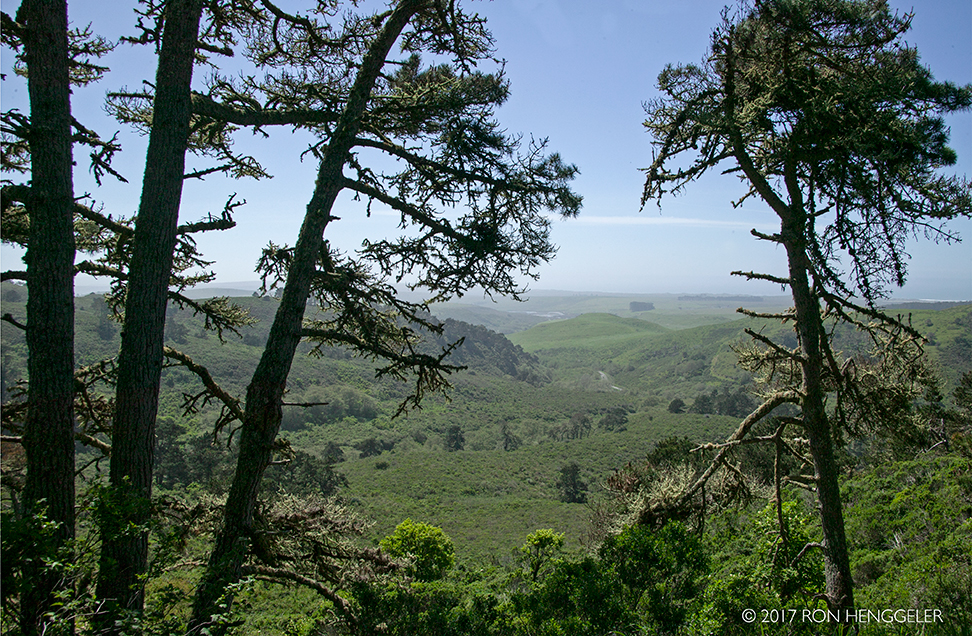
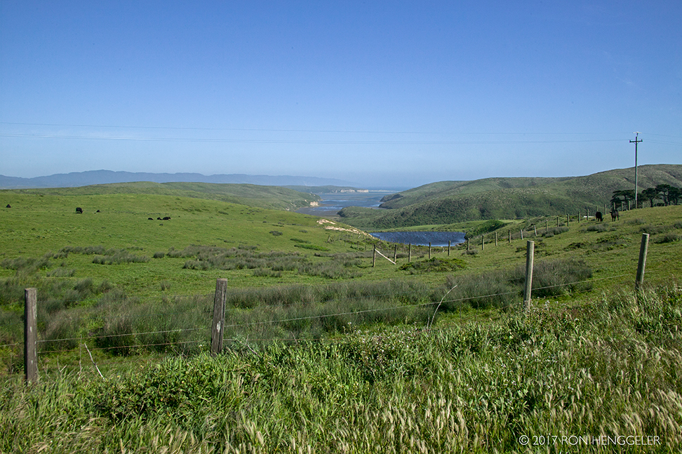
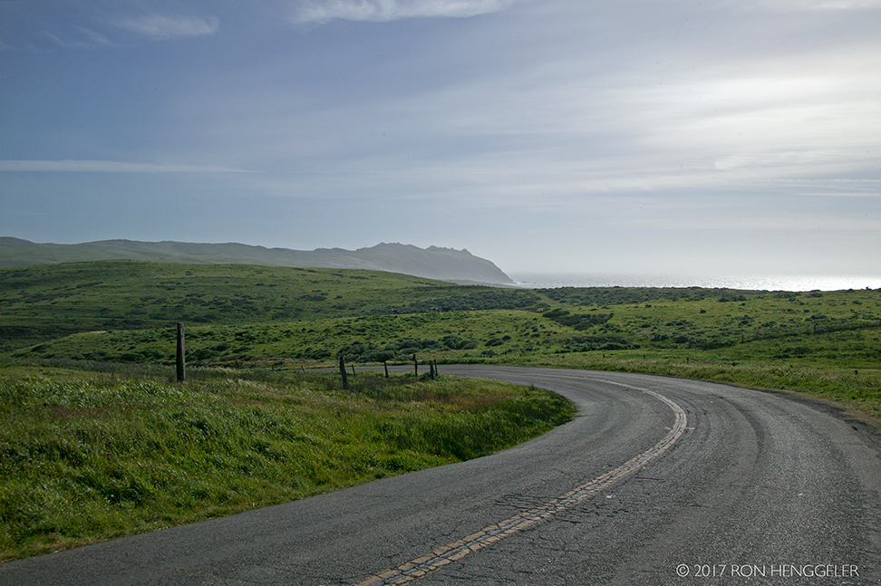
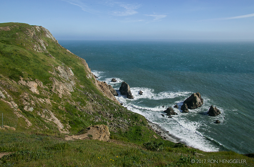
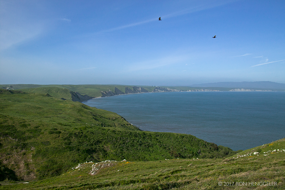
The view from the top of Mount Vision of the distant Point Reyes, Drakes Bay, Drakes Estero, and the blue Pacific Ocean. |
|
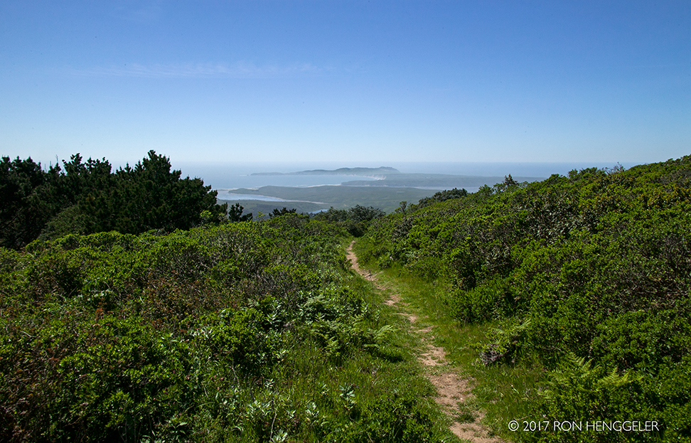
A view on the Bucklin Trail atop Mount Vision of the distant Point Reyes, Drakes Bay, Drakes Estero, and the Pacific Ocean. |
|
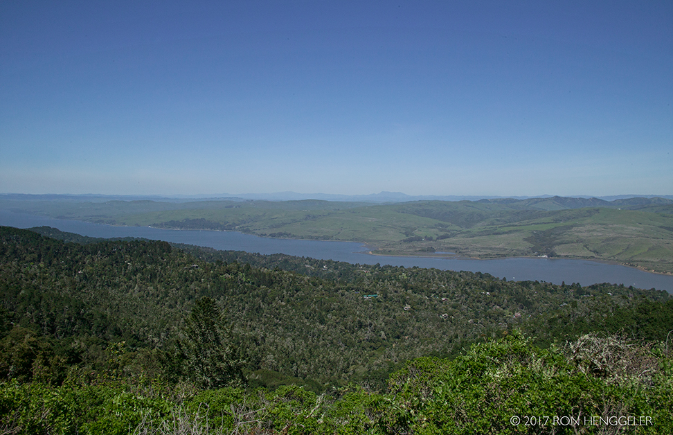
A view of Tomales Bay from the Mt. Vision Road near the summit of Mount VisionMount Saint Helena is miles away on the horizon. Mount Saint Helena is a peak in the Mayacamas Mountains with flanks in Napa, Sonoma, and Lake counties of California.
|
|
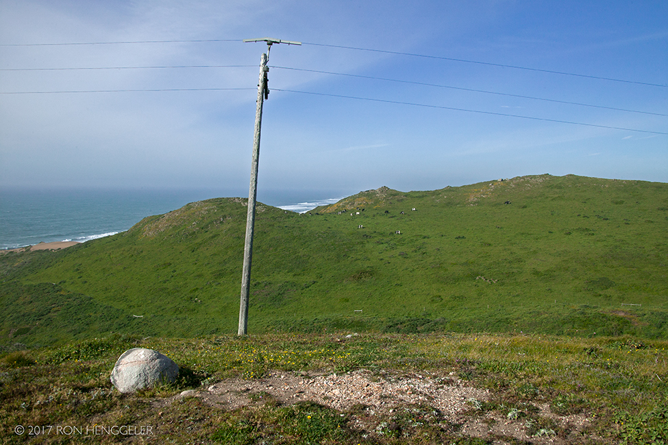
A view from the Mt. Vision Road near the summit of Mount Vision |
|
A view on the Mt. Vision Road within the Point Reyes National Seashore |
|
A view from the Mt. Vision Road |
|
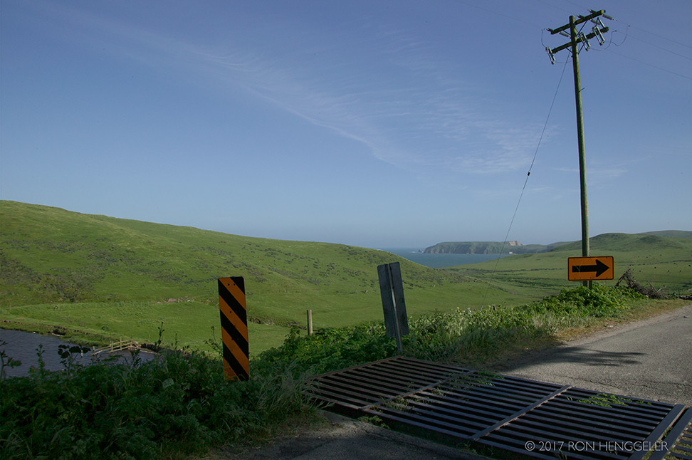
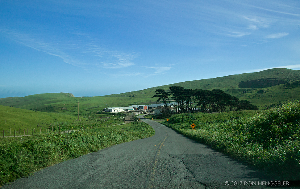
The Home Ranch Road leading to the Drakes Estero Trailhead at Point Reyes |
|
The Home Ranch Road at the Drakes Estero Trailhead in Point Reyes National Seashore |
|
The Drakes Estero seen from Sir Francis Drake Blvd. inside the Point Reyes National Seashore |
|
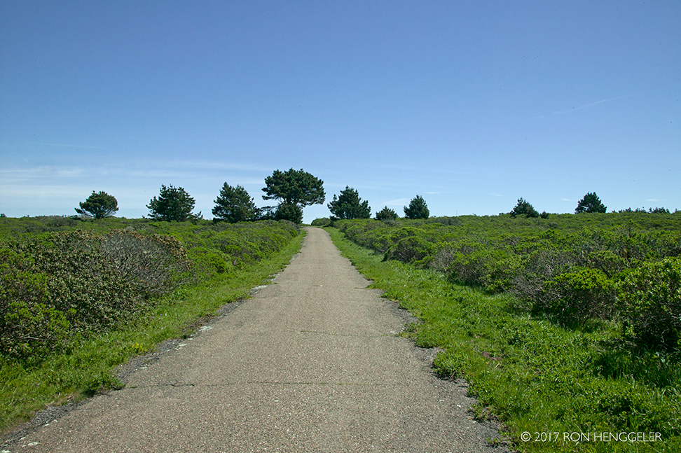
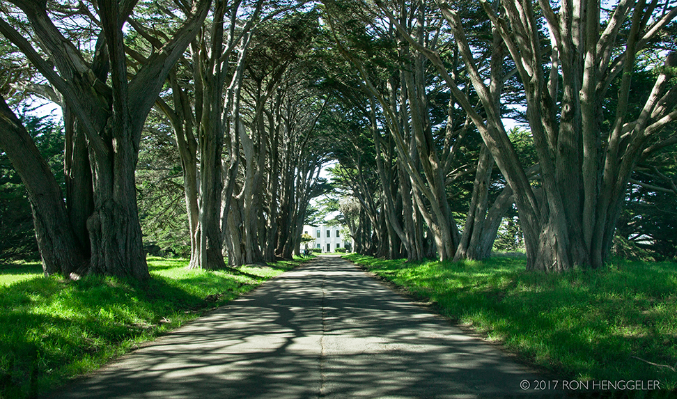
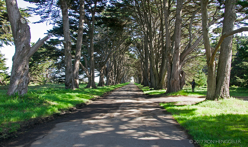
Cypress Tree Tunnel in Point Reyes National SeashoreThe Cypress Tree Tunnel:
|
|
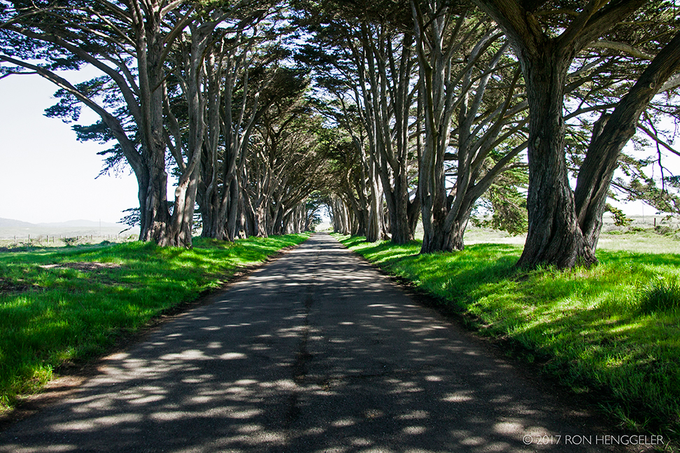
The Cypress Tree Tunnel |
|
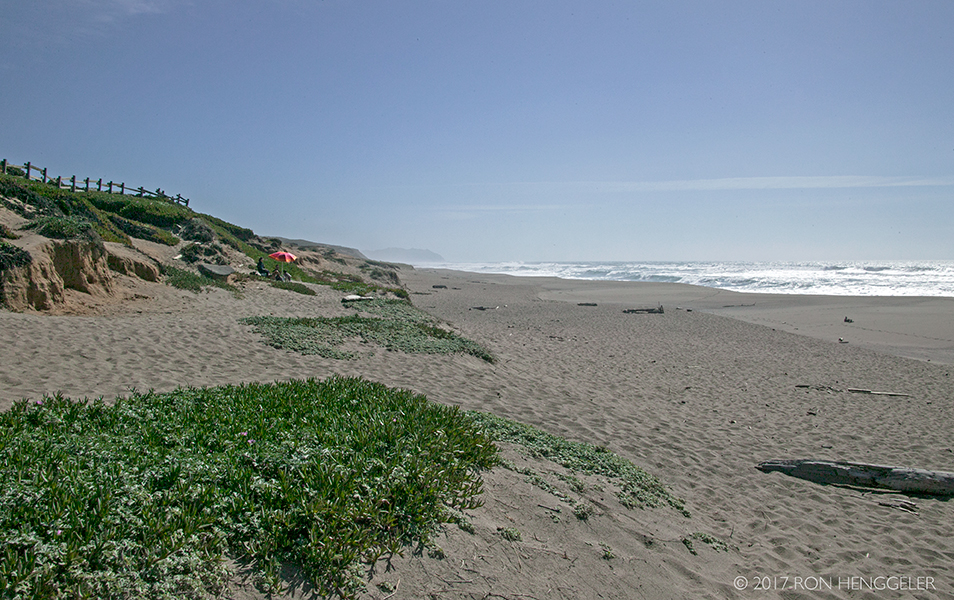
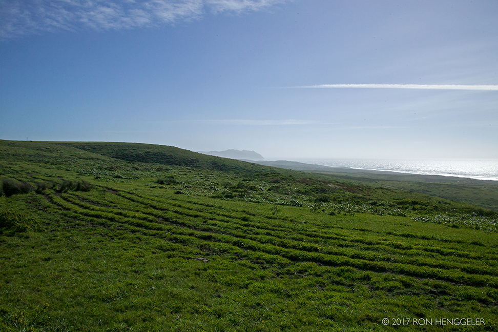
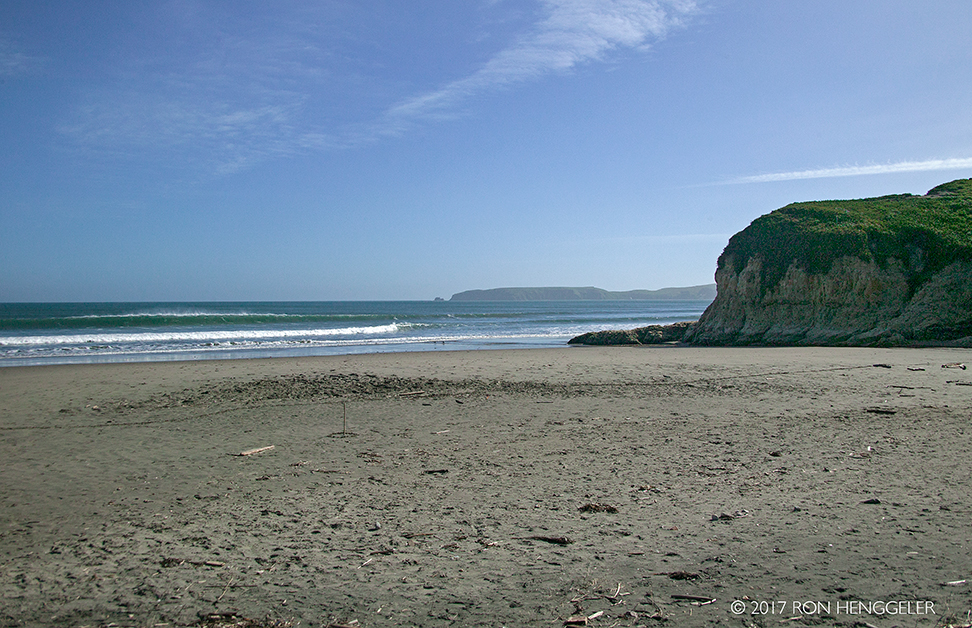
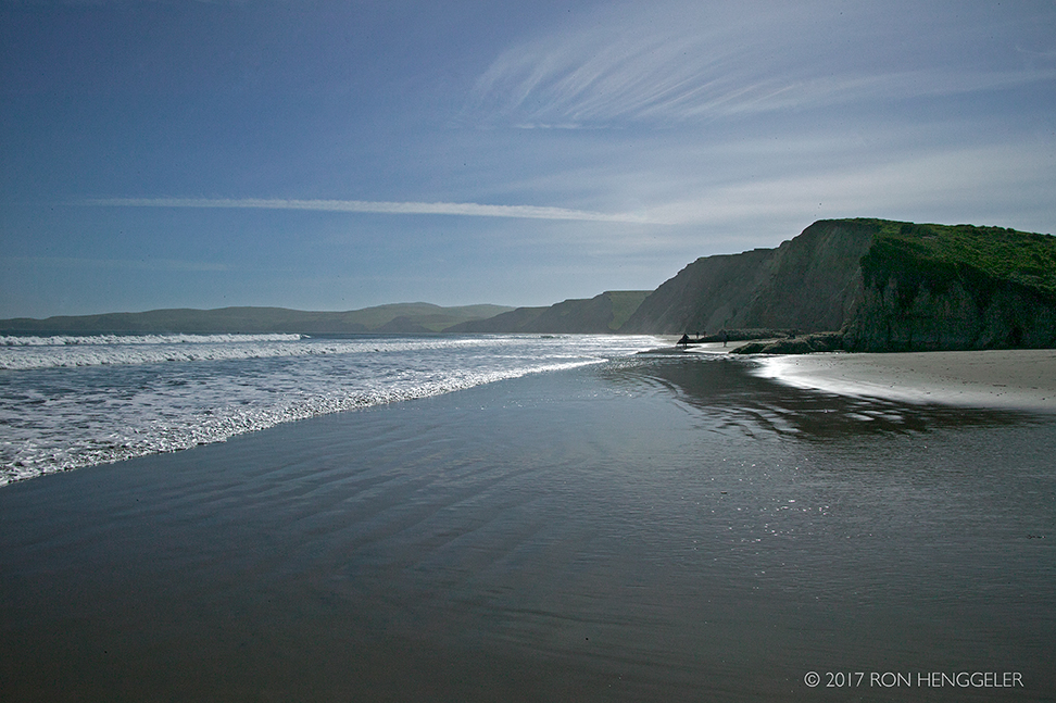
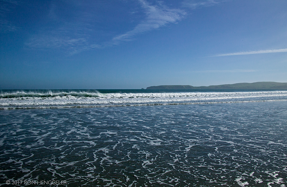
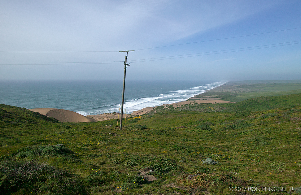
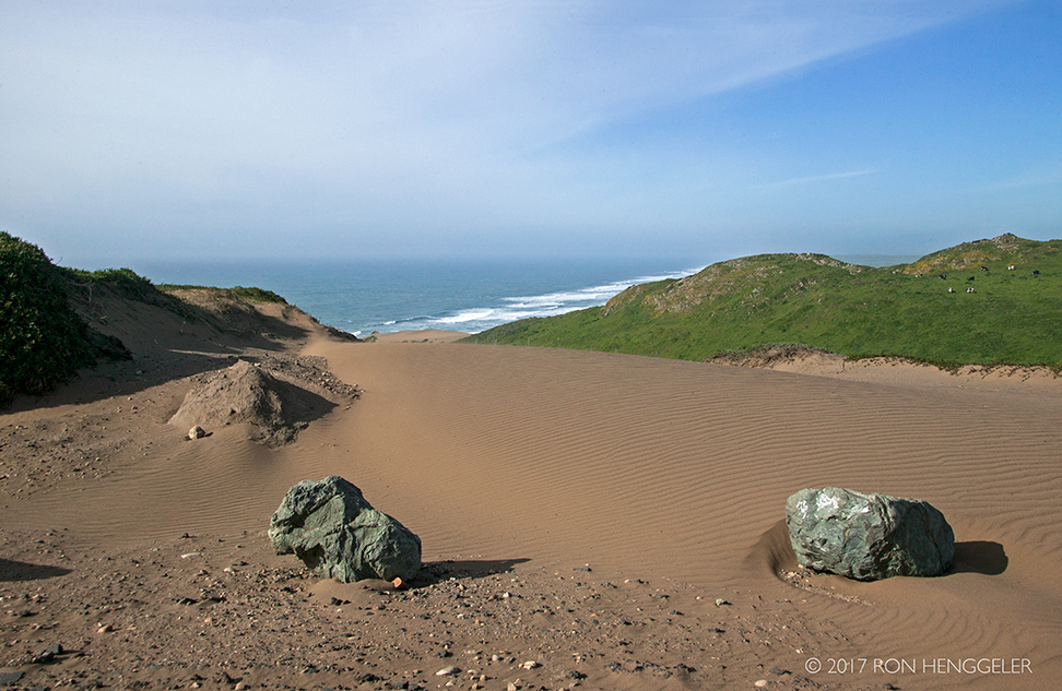
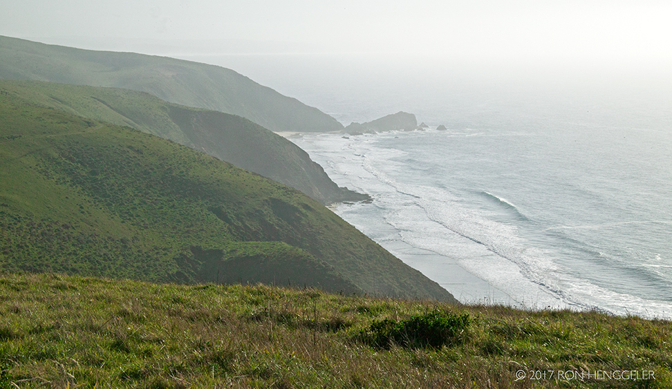
South Beach, part of the Great Beach
|
|
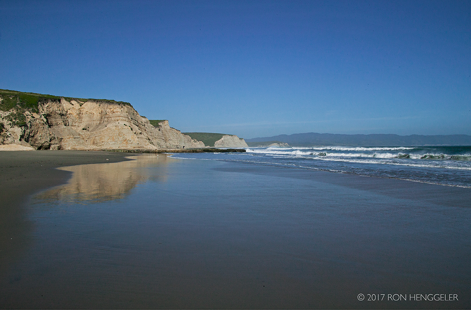
The view from on South Beach looking south towards the Point Reyes (barely visible on the horizon) |
|
The view from on South Beach looking south towards the Point Reyes |
|
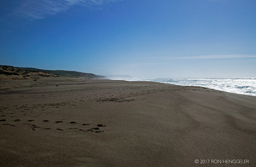
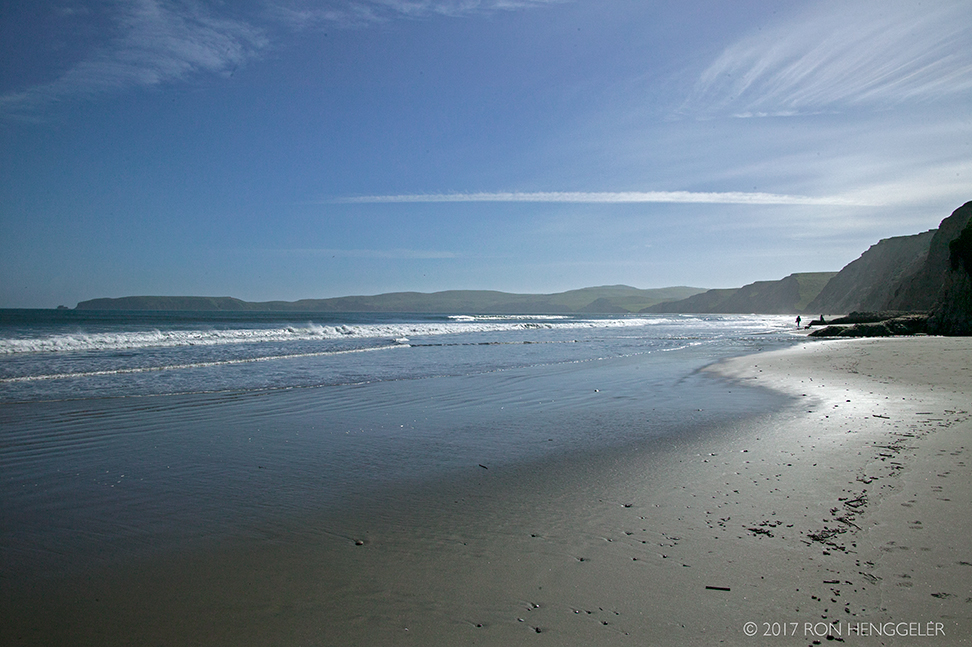
The view from on South Beach looking north towards the Tomales Head |
|
Ranching History at Point Reyes
https://www.nps.gov/pore/learn/historyculture/people_ranching.htm |
|
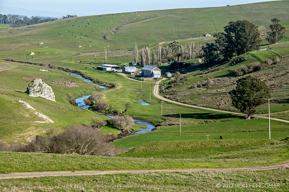
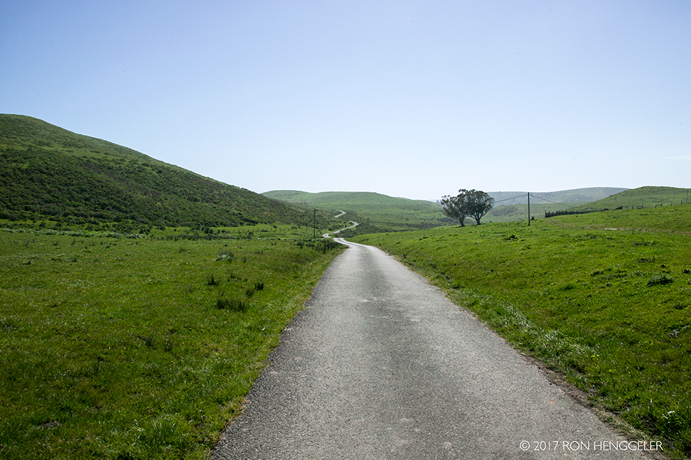
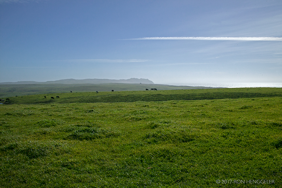
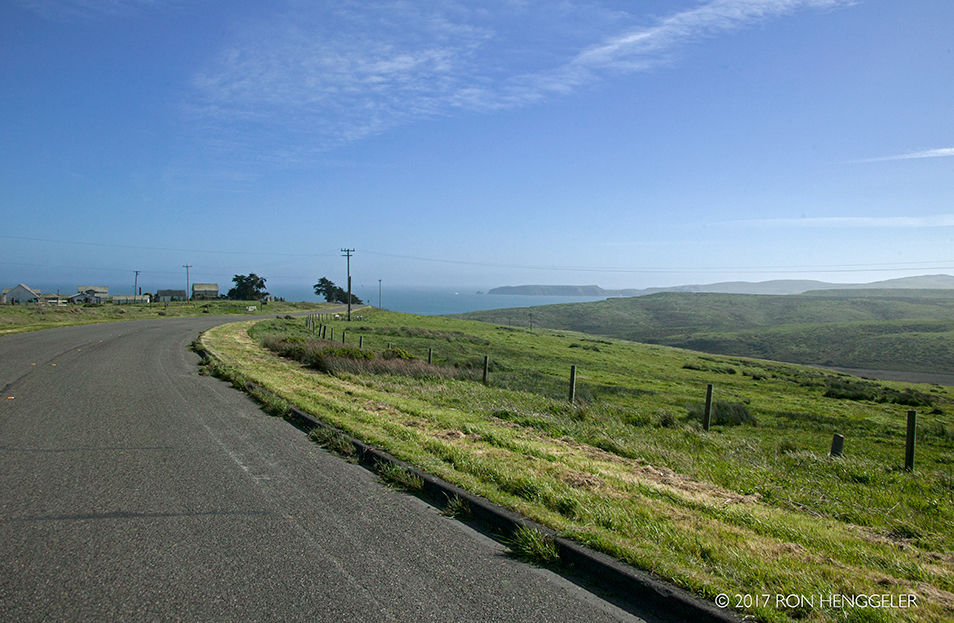
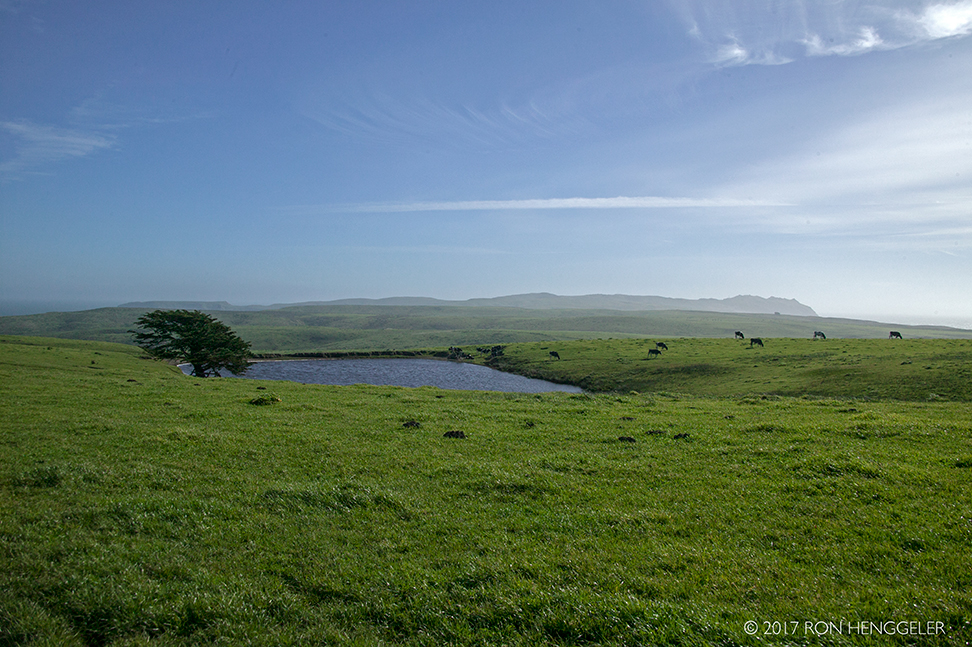
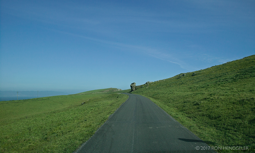
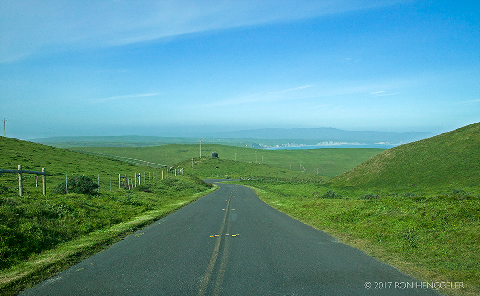
A view of Sir Francis Drake Blvd. running through the Pastoral Lands in the Point Reyes National Seashore |
|
A glimpsed view of the distant Drakes Estero from Sir Francis Drake Blvd. running through the Pastoral Lands in the Point Reyes National Seashore |
|
The Alchemy of Grass Turned to Gold
|
|
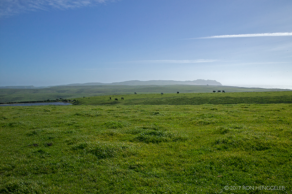
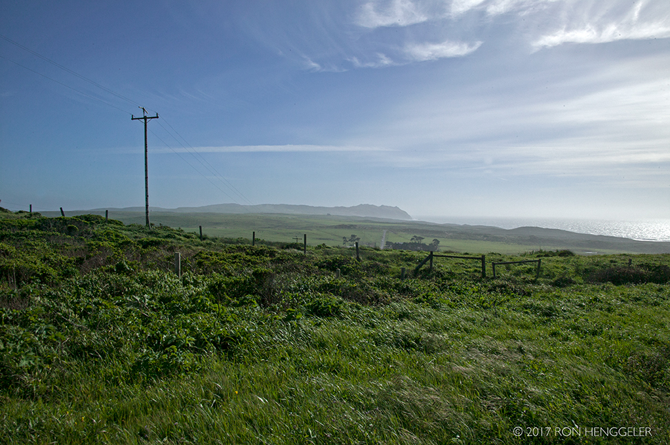
A view of the far distant Point Reyes seen in the midst of the Pastoral Lands at Point Reyes National Seashore |
|
|
|
A view of Drakes Bay and Chimney Rock on the Horizon |
|
A view of Chimney Rock seen from Sir Francis Drake Blvd. leading to the nearby Kenneth C. Patrick Visitor Center at Drakes Bay at Point Reyes National SeashoreKenneth C. Patrick Visitor Centerhttps://www.nps.gov/pore/planyourvisit/visitorcenters.htm |
|
|
|
Chimney Rock seen from Drakes Beach on Drakes BayDrakes Beach
|
|
Drakes Beach on Drakes Bay at Point Reyes National Seashore |
|
Drakes Beach on Drakes Bay at Point Reyes National SeashoreTo see my photos of the Elephant Seals with their pups hauled out on Drakes Bay in 2015, go to:http://www.ronhenggeler.com/Newsletters/2015/2.18/Newsletter.html |
|
Early European Explorers at Point Reyes
https://www.nps.gov/pore/learn/historyculture/people_europeanexplorers.htm |
|
During the late 1500's, Spanish galleons were making numerous voyages between Mexico and the Philippines. To sail across the north Pacific, ships from Manila would sail north before catching the prevailing easterly winds, arriving along the North American coast north of Point Reyes. It is likely that numerous Spanish crews saw Point Reyes as they sailed south along the California coast toward Acapulco and other Mexican ports where Asian luxury goods such as porcelains and spices were then shipped to Europe. We do know that in 1595, Sebastian Cermeno anchored in the calm waters of what is now called Drakes Bay. As his crew was ashore seeking fresh water, their Manila galleon stuffed with silks and spices, was wrecked in a sudden storm. The crew managed to return home by rowing their long boat to Mexico.The Spanish had been sending ships along the Pacific Coast and overland explorations throughout North America for many years. In an age of empire building, the Spanish expanded their domain up the California coast from Mexico. Point Reyes officially entered Spanish maps on January 6, 1603 when Sebastian Vizcaino sighted the headlands on the Roman Catholic feast day of the three wise men. Following Spanish tradition, the headlands were named after these religious figures: "la Punta de los Reyes" or the Point of the Kings. Spanish expeditions along the north coast continued. Later, sailors eventually found and entered Tomales Bay, where they would have seen the Miwok village at Segogolue or Toms Point. Amongst the kotças (sleeping shelters), the Spanish traded goods made of metal for finely woven Miwok baskets.https://www.nps.gov/pore/learn/historyculture/people_europeanexplorers.htm |
|
Point Reyes declared Drake landing sitehttp://www.sfgate.com/bayarea/article/Point-Reyes-declared-Drake-landing-site-3966058.php |
|
A view of the far distant Point Reyes seen in the midst of the Pastoral Lands at Point Reyes National Seashore |
|
|
|
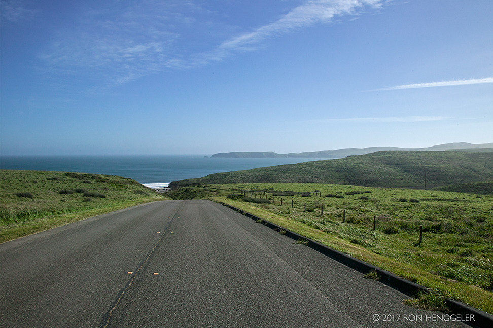
A view from the Sir Francis Drake Blvd. running through the Pastoral Lands in the Point Reyes National Seashore. The distant Point Reyes is seen on the horizon. |
|
|
|
A view from the Sir Francis Drake Blvd. running through the Pastoral Lands in the Point Reyes National Seashore. |
|
|
|
|
|
The one lane road leading to the Chimney Rock Trailhead |
|
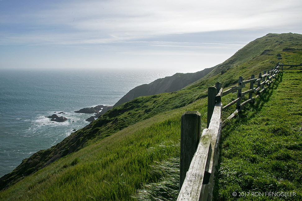
A view of the coastal cliffs from the Elephant Seal Overlook near the Chimney Rock Trailhead |
|
|
|
Drakes Bay as seen from the Chimney Rock Trailhead |
|
|
|
Drifting sands on Sir Francis Drake Blvd. leading to the historic Point Reyes LighthouseLighthouse History at Point Reyes
https://www.nps.gov/pore/learn/historyculture/people_maritime_lighthouse.htm |
|
|
|
To view my photos of the Point Reyes Lighthouse, with interior views, and close-up shots of the lens, go to:http://ronhenggeler.com/Newsletters/2014/9.24/9-24-14index.html |
|
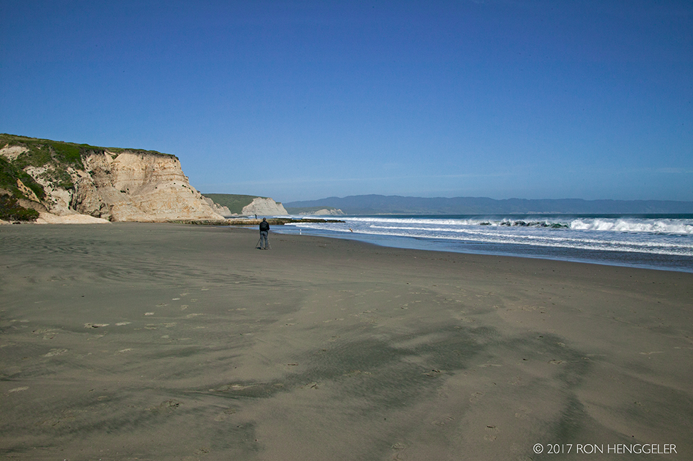
The Great Beach seen from near the Point Reyes Lighthouse |
|
|
|
The far distant Drakes Bay seen from Sir Francis Drake Blvd. leading away from the historic Point Reyes LighthouseFor photos of the Lighthouse, go to:http://www.ronhenggeler.com/Pt_Reyes/Pt_Reyes_Index9.html
|
|
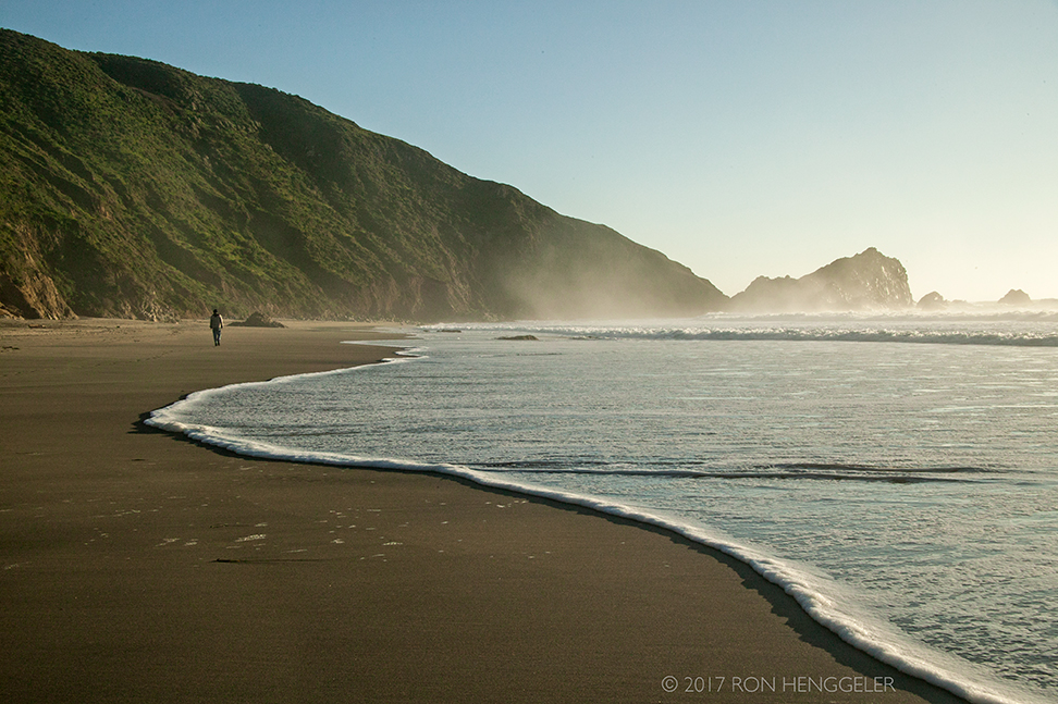
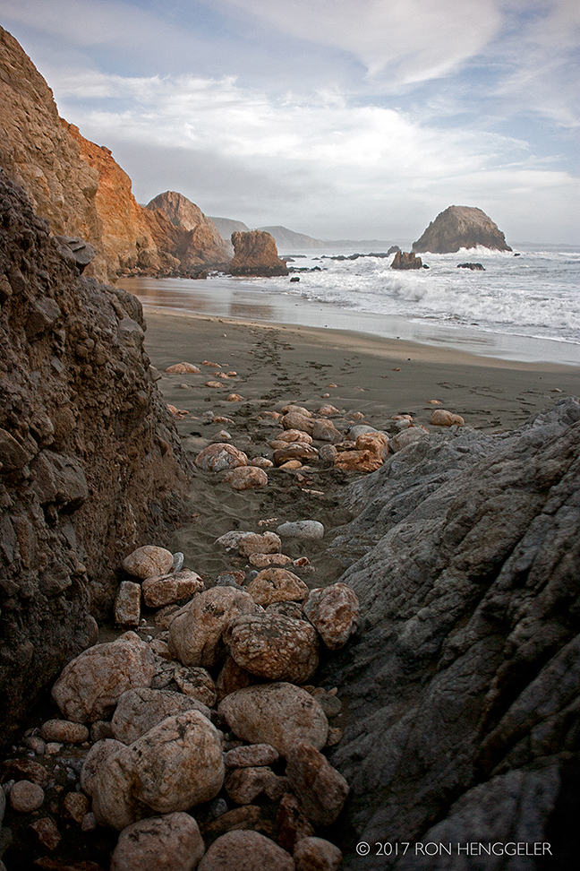
A view on McClures Beach near the Caldron. The Caldron is a dangerous stand of rock where several people have died because of the powerful rogue waves that churn and crash on the face of the Caldron. |
|
A view of the distant Elephant Rock seen from the Caldron on McClures Beach |
|
A view looking south on the Tomales Head Trail looking down to McClures Beach and the CaldronTo see my photos of the mysterious man-made 820 ft. straight line of stones that cross the Tomales Head Trail in the Tule Elk Reserve in Point Reyes, go to:http://www.ronhenggeler.com/Pt_Reyes2/Pt_Reyes_index12.htmlandhttp://www.ronhenggeler.com/Pt_Reyes2/Pt_Reyes_index11.html |
|
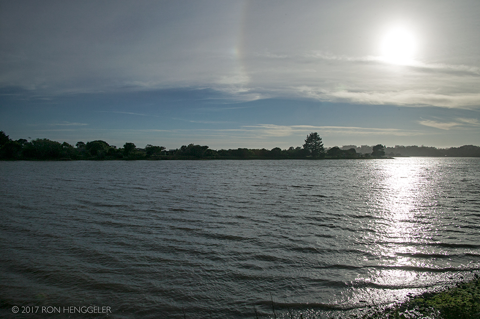
Tomales Bay near Inverness |
|
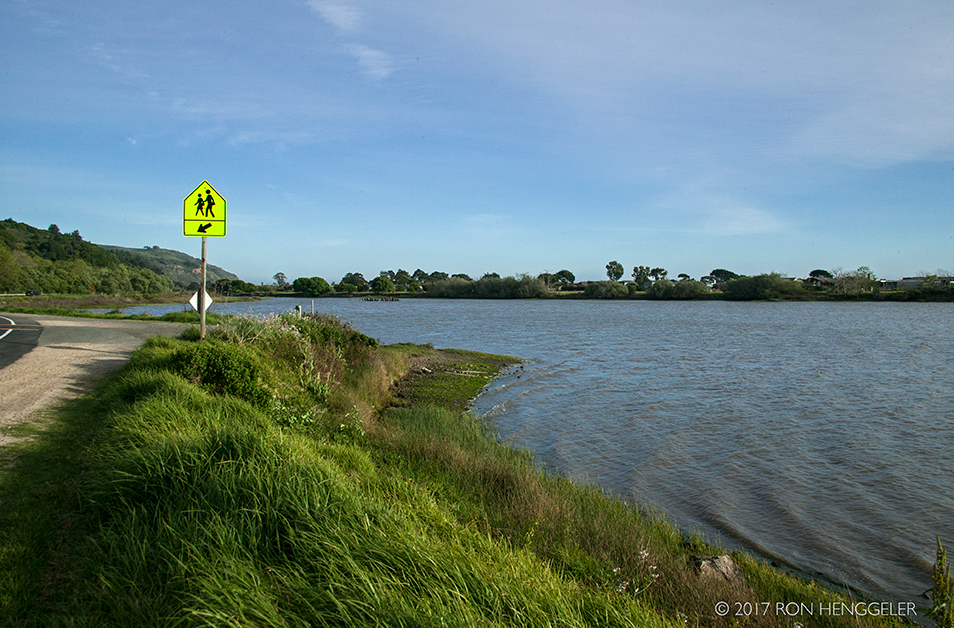
A view of the Bolinas Lagoon, seen during our return trip along Highway One coming back to San Francisco from Point Reyes |
|
The Bolinas Lagoon |
|
Bolinas, Stinston Beach, and the Bolinas Lagoon as seen from near the West Ridgecrest Road |
|
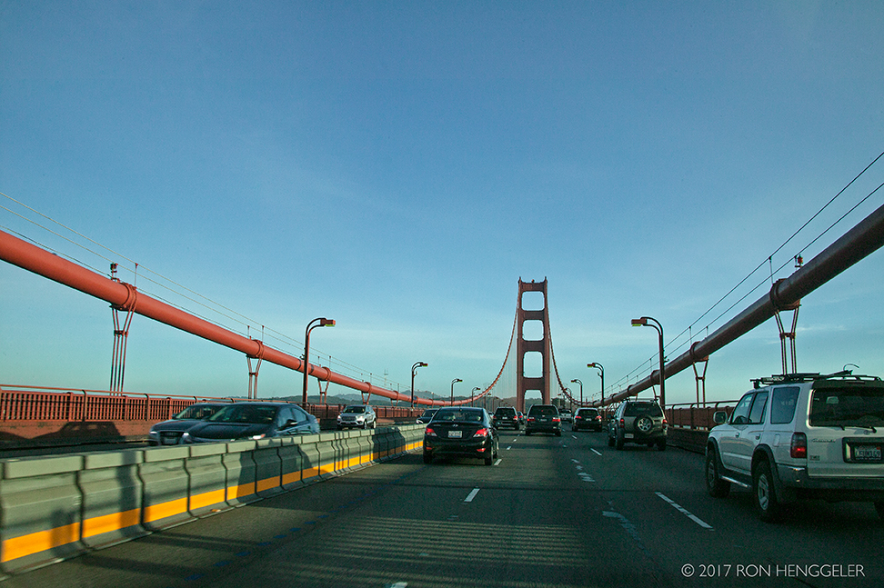
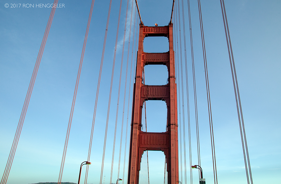
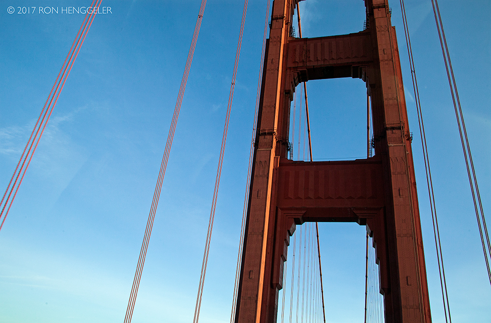
A view of the Golden Gate Bridge on our return from Point Reyes National Seashore |
|
|
|
|


Newsletters Index: 2017, 2016, 2015, 2014, 2013, 2012, 2011, 2010, 2009, 2008, 2007, 2006
Photography Index | Graphics Index | History Index
Home | Gallery | About Me | Links | Contact
© 2017 All rights reserved
The images are not in the public domain. They are the sole property of the
artist and may not be reproduced on the Internet, sold, altered, enhanced,
modified by artificial, digital or computer imaging or in any other form
without the express written permission of the artist. Non-watermarked copies of photographs on this site can be purchased by contacting Ron.